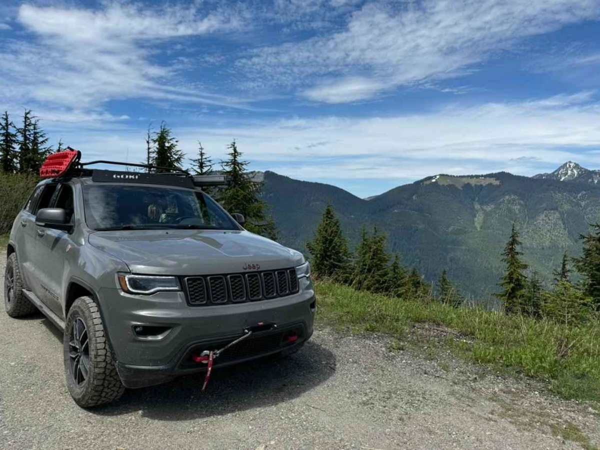
Tonga Ridge

Total Miles 36.1
Technical Rating
1 Easy
Best Time Summer
Trail Type Full-Width Road
Accessible By
Open Trail Map

Trail Overview

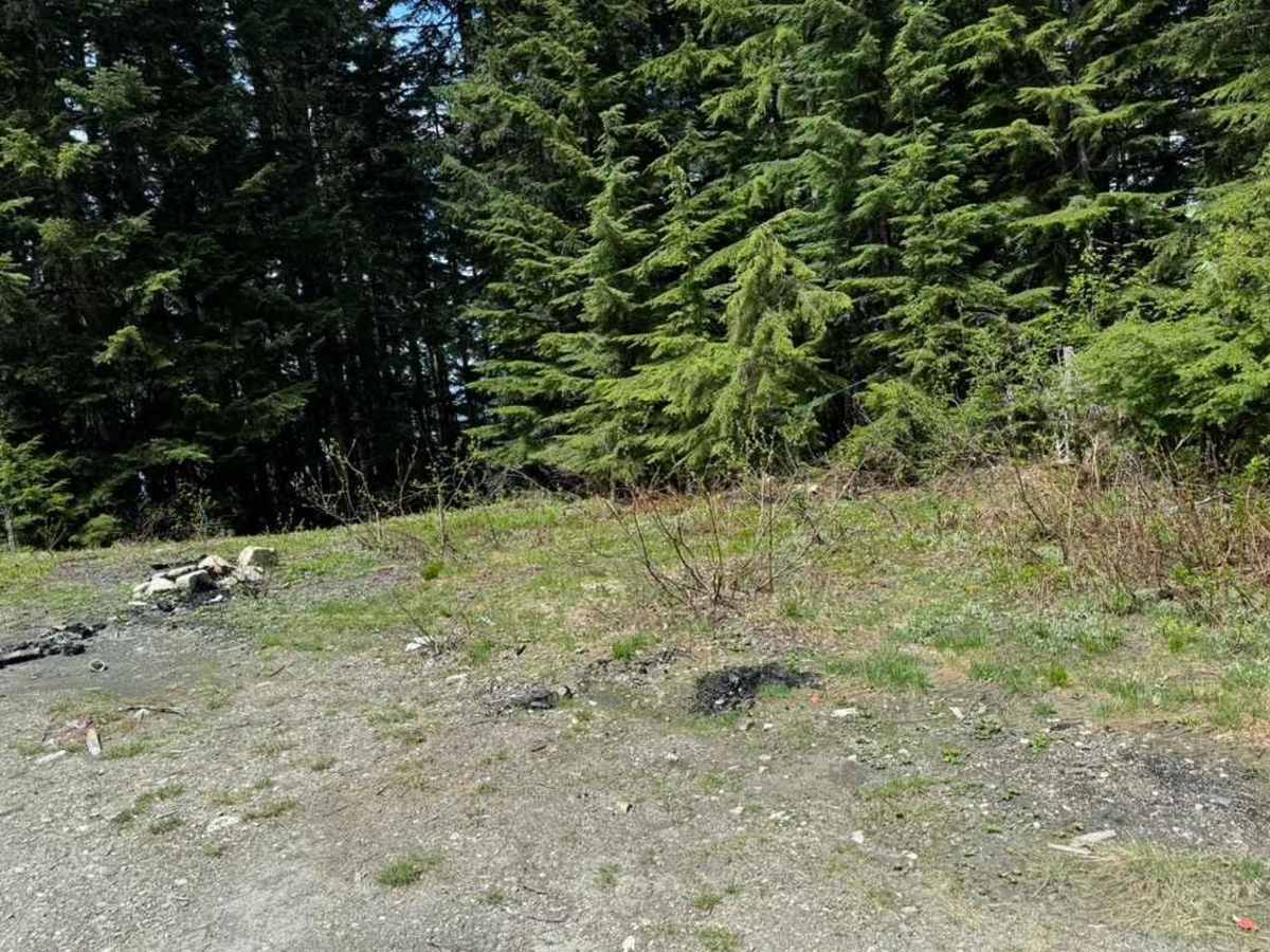
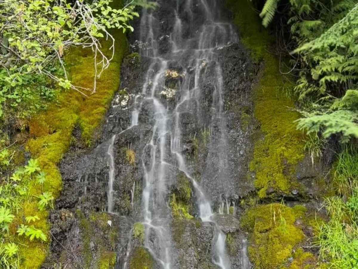
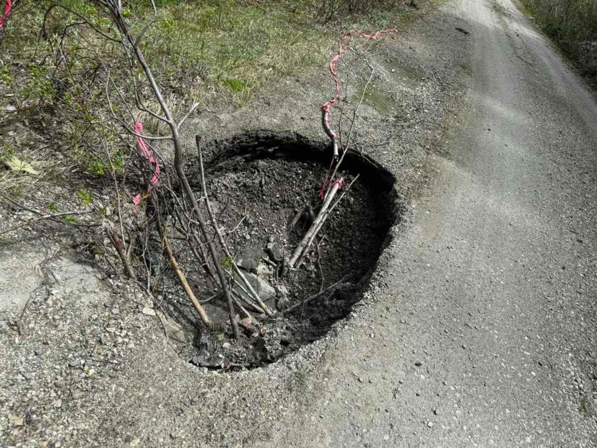
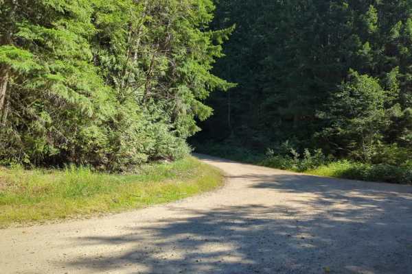
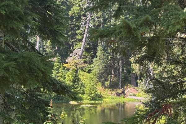
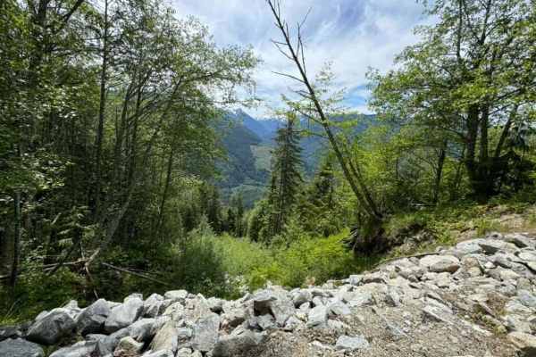
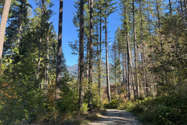
A Northwest Forest Pass is required. Tonga Ridge is heavily rutted but offers stunning beauty in both spring/summer and winter, with many smaller waterfalls to the right. There isn't anything too technical on this route when the snow has mostly melted--just some deep ruts, but you can find a line to straddle them. This is a relatively long trail but you can keep a decent rate of speed when there are no potholes. The entirety of this trail may not be passable;at mile 13, it may turn to deep slush which is challenging to get through due to being so soft and wet. Stock 4x4s and even some 2WD SUVs/trucks should be able to run this without issue when the snow has melted from most of the trail. Depending on your carrier, do not expect cellular service on this route. There is a mini sinkhole at mile 12 on the left that's 3 feet by 3 feet and about 2 feet deep. It is passable by most vehicles but extremely large trucks may not make it. This sinkhole could also get exponentially larger with time;please take care not to get too close to it to avoid prematurely increasing its size or washing out the whole road. The entirety of the trail cannot be completed until after July to allow the snow to melt at the top, but the first half will be accessible before that.

Photos of Tonga Ridge

Difficulty

Aside from potholes and heavy ruts, there are no major obstacles on this route during summer. Winter is different and this route is quite challenging unless you are heavily modified. During late spring, there may be heavy slushy snow at mile 13, and even well-modified rigs will most likely get stuck in the slush. Wait until late summer to attempt to go further.

Technical Rating

1

Status Reports

Add Status Report
Holly Singh
Jun 14, 2026
Open
Lots of new gravel added in spots but overall the road was great with no major potholes or obstructions.
Matthew Thorp
Jun 13, 2026
Open
Trail was in great shape with the exception of a small mudslide about 10-12 miles in. Most high-ish vehicles could make it. The road up is open on weekends, but they are almost done with construction, so it should be open all week soon.
Robert W
May 31, 2026
Open
Same muddy location as noted earlier. Crawled up and over main road section with no issues.
Nic D
May 15, 2026
Open
On my way up it was mostly smooth sailing until I reached abt halfway through and came across it. I tried going over it on the right side but I felt like I’d get stuck cuz of the mud, but I feel maybe more capable vehicles could make it through.
Nitin Pauletti
Nov 22, 2025
Open
Some close branches near the sinkhole but otherwise pretty well maintained. More water filled potholes the further into the trail you get, nothing most stock SUVs and trucks can’t handle
justin ashworth
Nov 15, 2025
Open
No snow to be found , went all the way to the top where the hiking trail begins and also all the way to the top of J-tonga ended up turning around after there , watch for the sink hole previously noted at mile 12 its gotten bigger about 4x4x3.5, there is a couple small washouts between mile 10-12 but nothing crazy. Was in a 88 f-250
Thiemo Wieszop
Oct 27, 2025
Open
2" of wet, heavy snow at the 3200ft level, which is where i turned around.. No branches down when I drove it but you could hear the weight of it in the trees. Subaru Crosstrek with Falken Wildpeak tires.
Hervey Wilson
Sep 04, 2025
Open
Toward the top, overgrown brush on the sides of the trail that is only one vehicle wide, visibility sometimes limited.
Christopher Dirkes
Jun 07, 2025
Open
The main Tonga Ridge road is now clear of snow and obstructions and you can drive all the way to the end at the washed out bridge. There are some large potholes but they can easily be driven around. Several offshoot roads still have icy snow on them and are very difficult to drive over. Enjoy the beautiful views and remember to pick up a few pieces of trash while you are out there.
Dave S
May 26, 2025
Open
At about 3,800 ft you end up hitting some deep snow so didn't make it to the end, it was raining and a bit muddy, but still a great trail.
Jeff Marwho
May 04, 2025
Open
Got about 6miles from the end and hit spotty snow and this downed tree. Some people have cleared off the branches so if you have the clearance you could make it and keep going, we did not.
Nate Escoboza
Mar 29, 2025
Open
Mohammed El Hamalawi
Feb 15, 2025
Open
Beautiful drive with some adrenaline rush in some tricky places. Snow all the way, 4x4 and high clearance is needed in many places.
Doug Dimmadome
Jan 20, 2025
Open
The road is currently dry up to about 2400'. After that, be ready for lots of icy ruts followed by wet snow that gets fairly deep. Chains were necessary for us on top of our AT tires.

Tonga Ridge Trail can be accessed by the following ride types:

  • Single Track
  • 50 Inch
  • 60 Inch
  • High Clearance
  • Full Width

Tonga Ridge Map

The onX Offroad Difference

onX Offroad combines trail photos, descriptions, difficulty ratings, width restrictions, seasonality, and more in a user-friendly interface. Available on all devices, with offline access and full compatibility with CarPlay and Android Auto. Discover what you're missing today!

Open Trail Map