Sobieski Mountain

Total Miles 10.5
Technical Rating
1 Easy
Best Time Spring, Summer, Fall
Trail Type Full-Width Road
Accessible By
Open Trail Map

Trail Overview

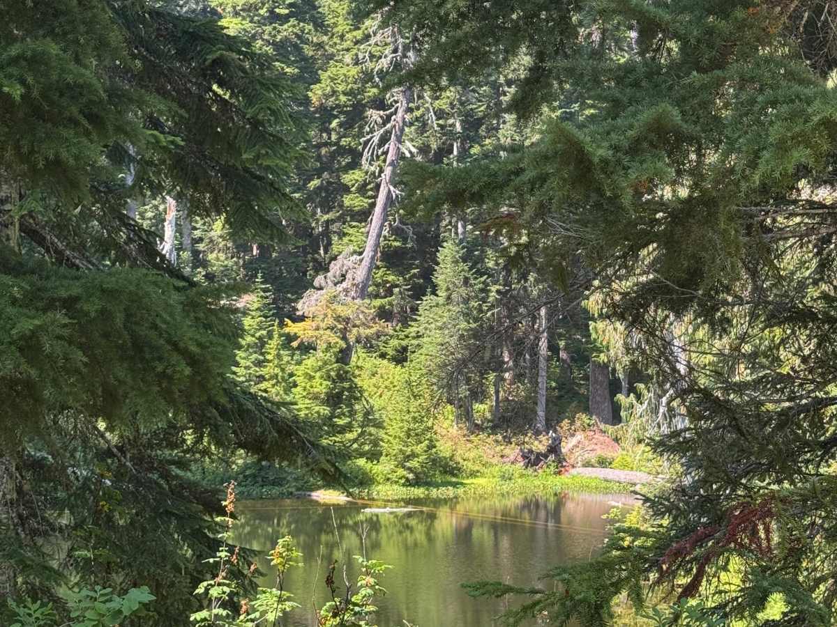
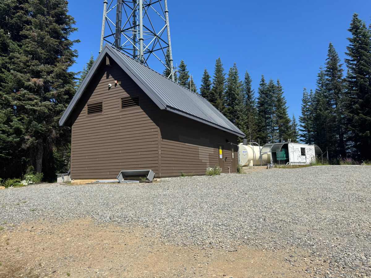
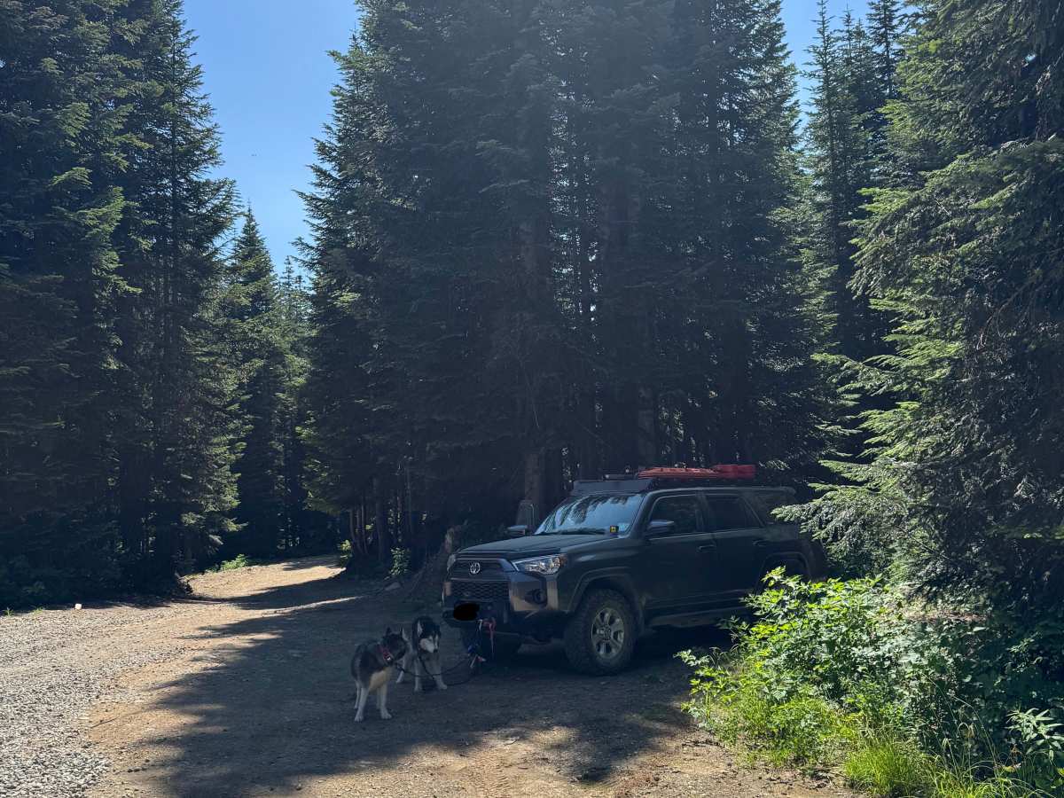
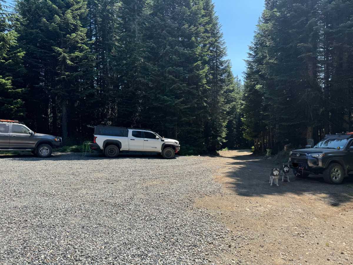
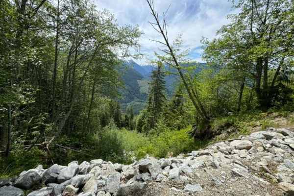
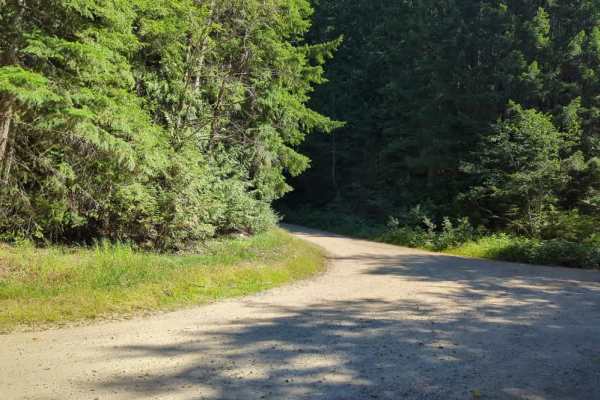
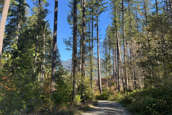
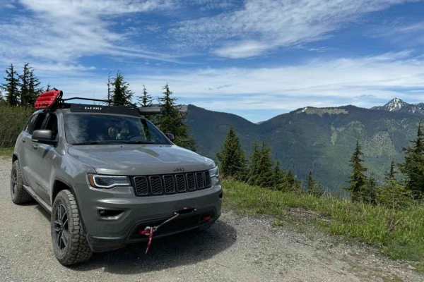
Foss River Road begins as a two-lane, well-maintained gravel forest service road. Prior to the turnoff to the West Fork Foss Lakes trail head (approximately 3.6 miles in), this road is quite busy. Even on a weekday, you can expect to see a dozen or more cars at the trailheads and people driving at a high rate of speed. Past West Fork Foss, the road starts to climb, but remains in relatively good condition. The climb is mostly through dense forest with occasional views, and a very unique waterfall off to the left at a bend in the road. Once you reach the split in the road for Maloney Lookout (around mile 8.1), the road climbs a bit more steeply, and the road condition gets slightly worse, with more rocks and dirt. Nearing the top, there are many side trails that lead to good campsites. At the end of the road, the road splits into 3 directions. Left and right lead to campsites, with the site to the left having an excellent view. Down the middle is the short road to the rather impressive communications tower/facility on Sobieski Mountain. There are many campsites along this road, the side roads and trails, and even on the approach to this road. Cell service is limited. Road is sometimes gated past West Fork Foss in the winter and does get snowed in.

Photos of Sobieski Mountain

Difficulty

Gravel road all the way with small potholes. The road is well-maintained, likely to support radio repeater maintenance.

Technical Rating

1

Status Reports

Add Status Report
Evan Kelley
Jun 08, 2026
Open
Road closed due to construction… no sign posted denoting reopening.
Kirk Offerdahl
Dec 08, 2025
Open
Pretty easy with a fair share of potholes. Ruts weren’t too bad. Was super rainy today, and clouds obscured what im sure is a great view. Started getting snowy near the top, got leas than a mile to the radio tower and I ended up backing down about a mile to avoid getting stuck in 14”-18” of snow. Probably could have made it but didn’t feel like potentially getting stuck out there in a rainstorm overnight as I was alone, and my Jeep is basically stock. Cell service with AT&T was available occasionally. Attached photo is about where i decided to back out. Im sure superior rigs would have no trouble.

Sobieski Mountain Trail can be accessed by the following ride types:

  • Full Width

Sobieski Mountain Map

The onX Offroad Difference

onX Offroad combines trail photos, descriptions, difficulty ratings, width restrictions, seasonality, and more in a user-friendly interface. Available on all devices, with offline access and full compatibility with CarPlay and Android Auto. Discover what you're missing today!

Open Trail Map