South Tye River Access

Total Miles0.9
Technical Rating
1Easy
Best TimeSpring, Fall, Summer
Trail TypeFull-Width Road
Accessible By
Open Trail Map

Trail Overview

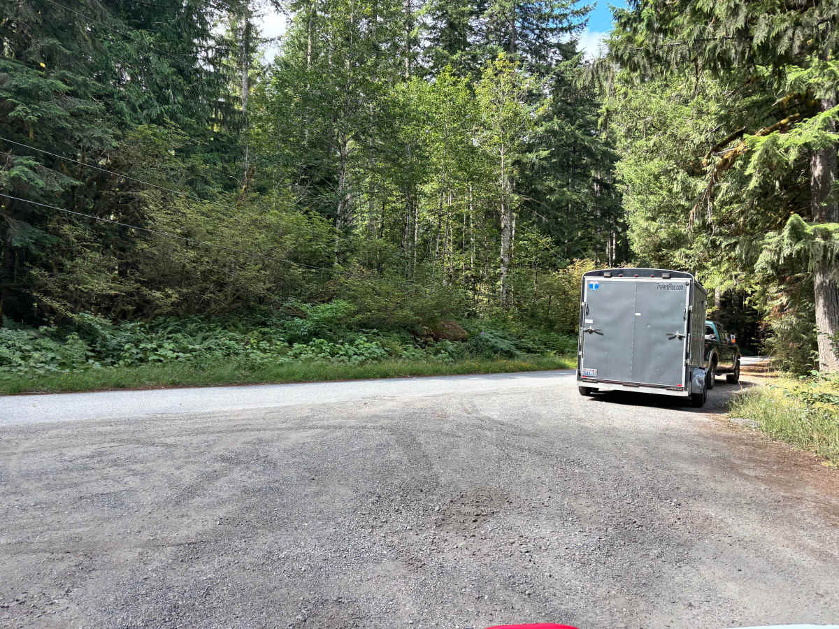
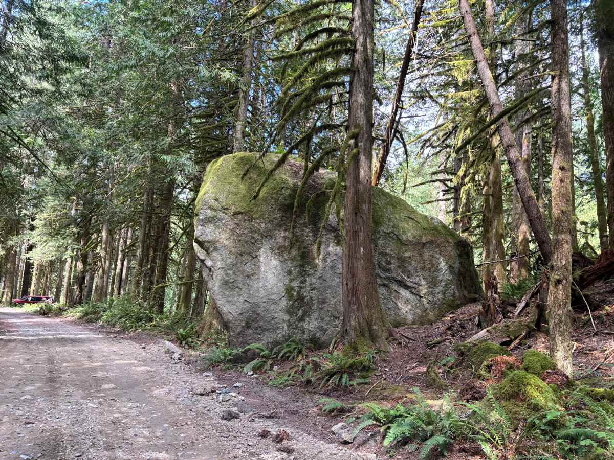
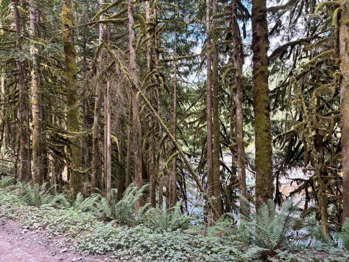
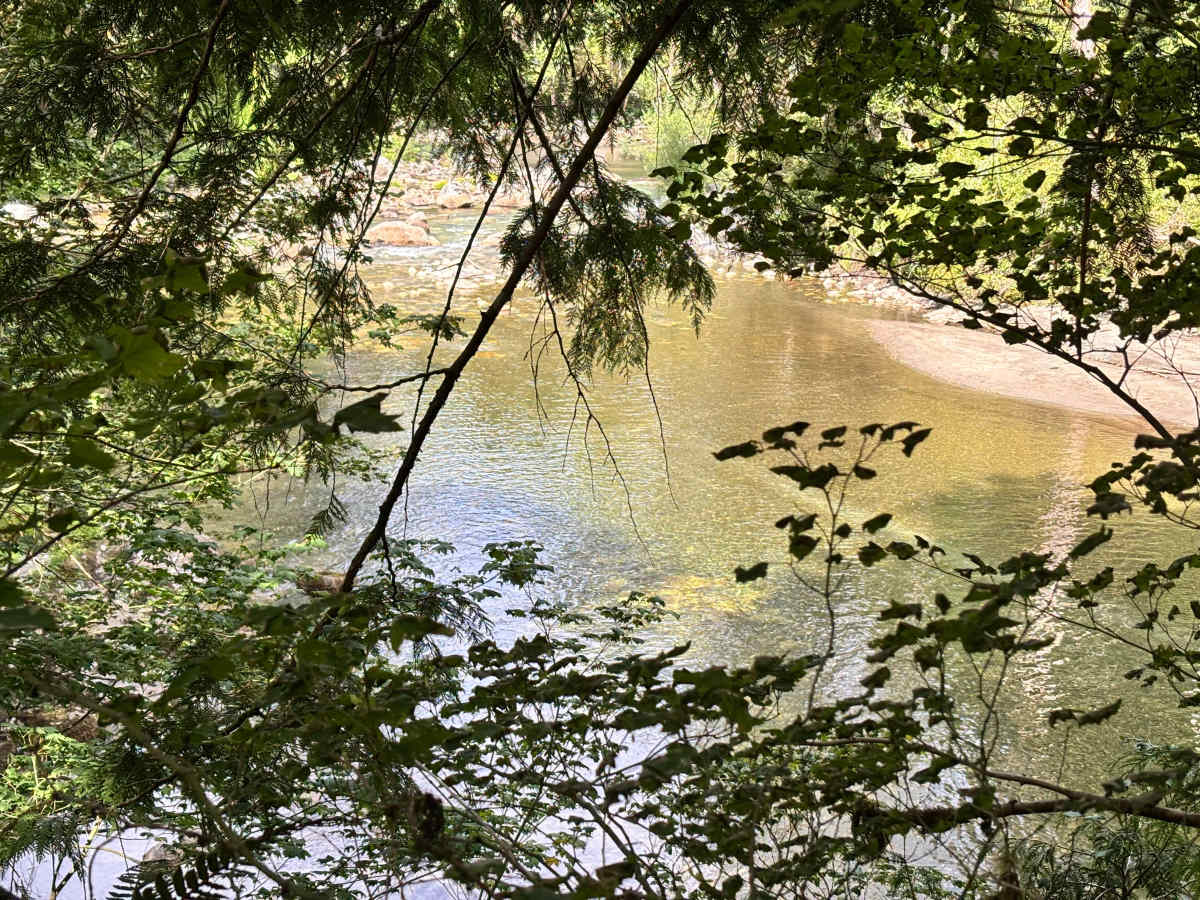
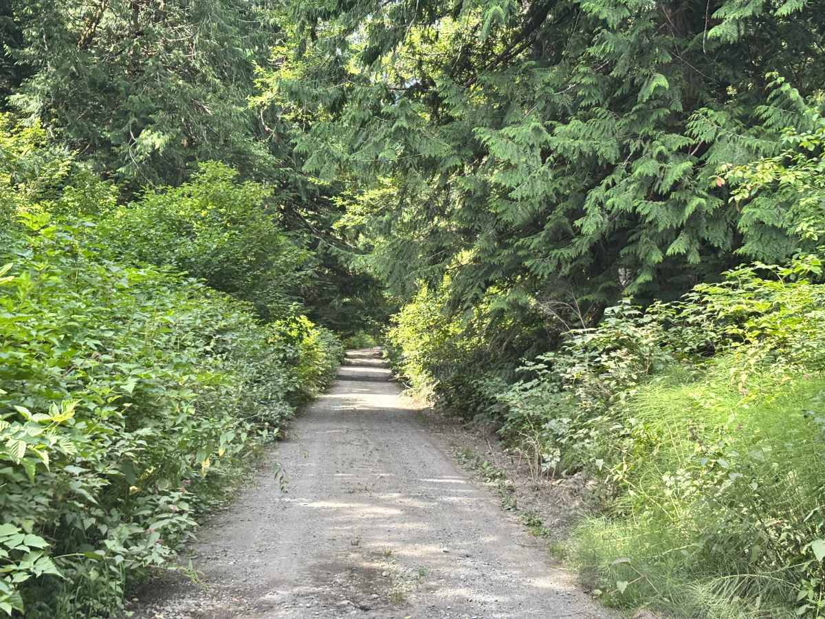
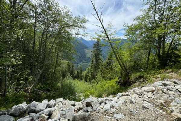
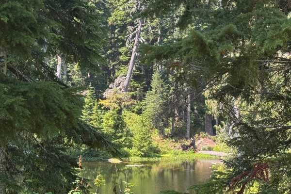
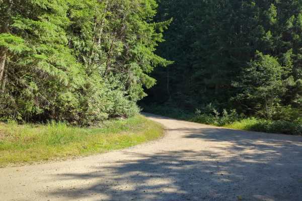
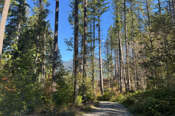
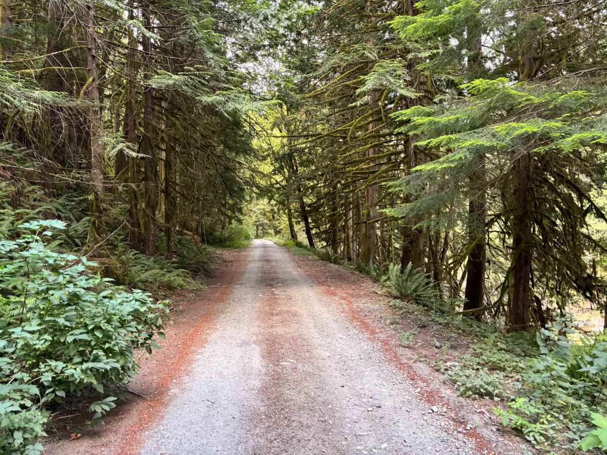
This is a very short, easy route along the south side of the Tye River. It is basically an access road to some private properties that is cut through State land but offers access to the river. It is a mostly unmaintained dirt and gravel road that goes through beautiful tree-covered areas with views of the river the entire way. It stops on private property but has a turnaround before you are on the private property.

Photos of South Tye River Access

Difficulty

It is a very easy in-and-out trail that accesses the Tye River. Mostly an unmaintained gravel and dirt access road. Some potholes and areas of storm damage. Has the potential to wash out in the winter if the storms are bad enough.

Technical Rating

1

South Tye River Access Trail can be accessed by the following ride types:

  • Single Track
  • 50 Inch
  • 60 Inch
  • High Clearance
  • Full Width

South Tye River Access Map

The onX Offroad Difference

onX Offroad combines trail photos, descriptions, difficulty ratings, width restrictions, seasonality, and more in a user-friendly interface. Available on all devices, with offline access and full compatibility with CarPlay and Android Auto. Discover what you're missing today!

Open Trail Map