Starvation Flat Road

Total Miles1.9
Technical Rating
1Easy
Best TimeSpring, Summer, Fall
Trail TypeFull-Width Road
Accessible By
Open Trail Map

Trail Overview

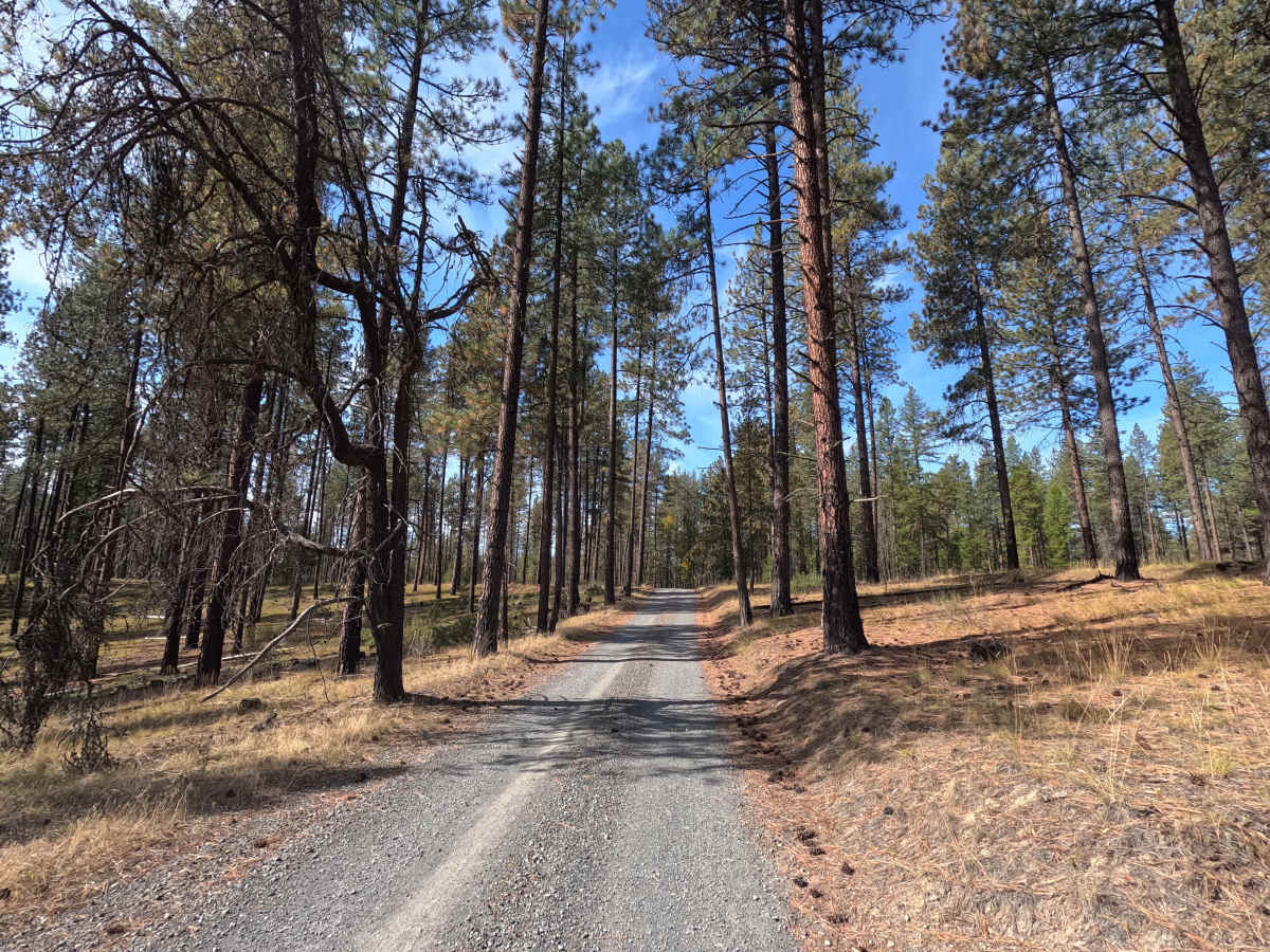
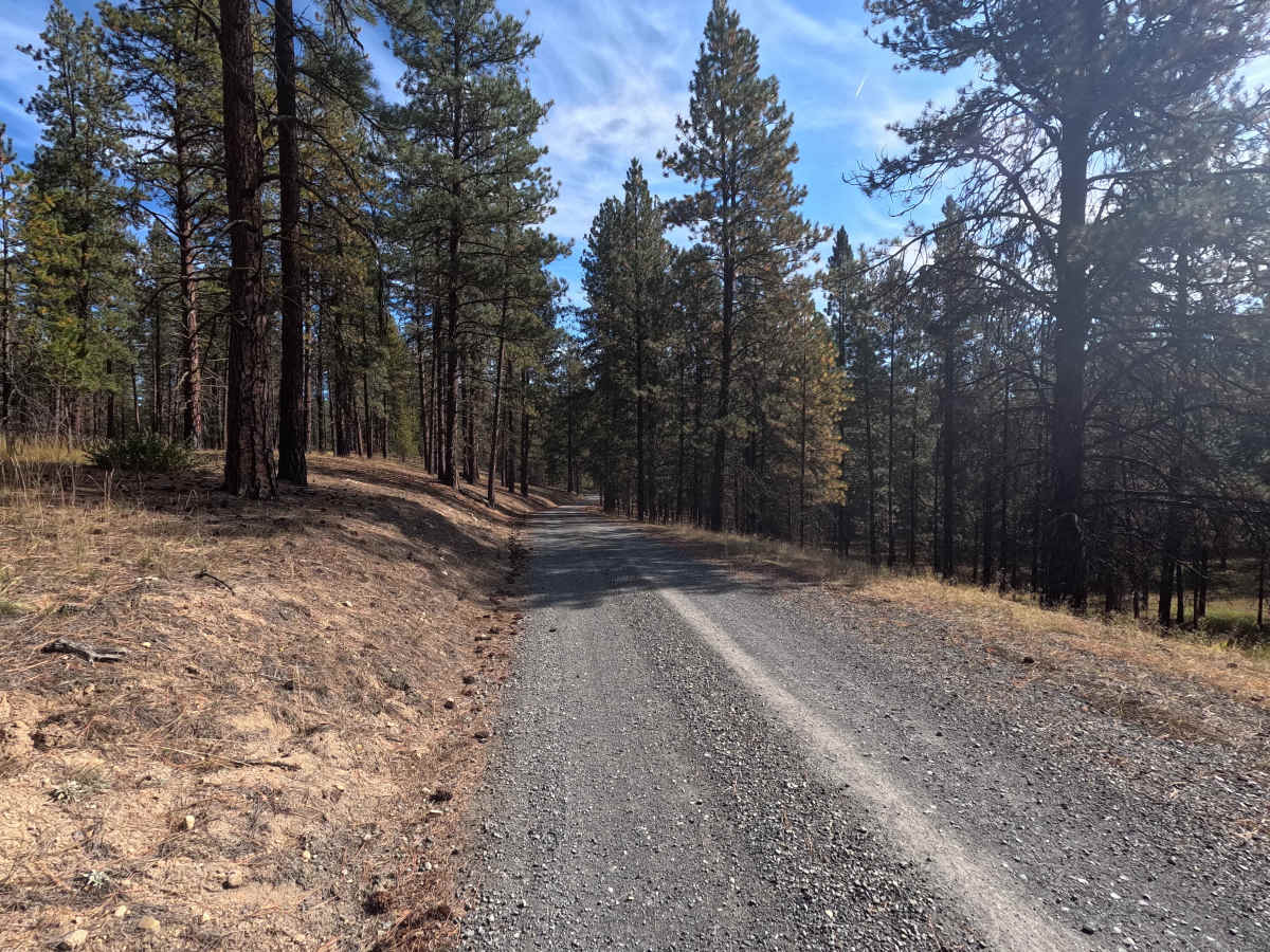
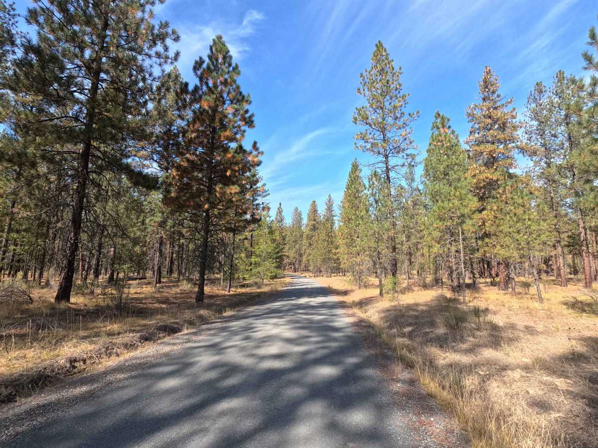
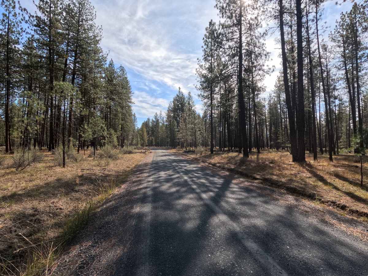
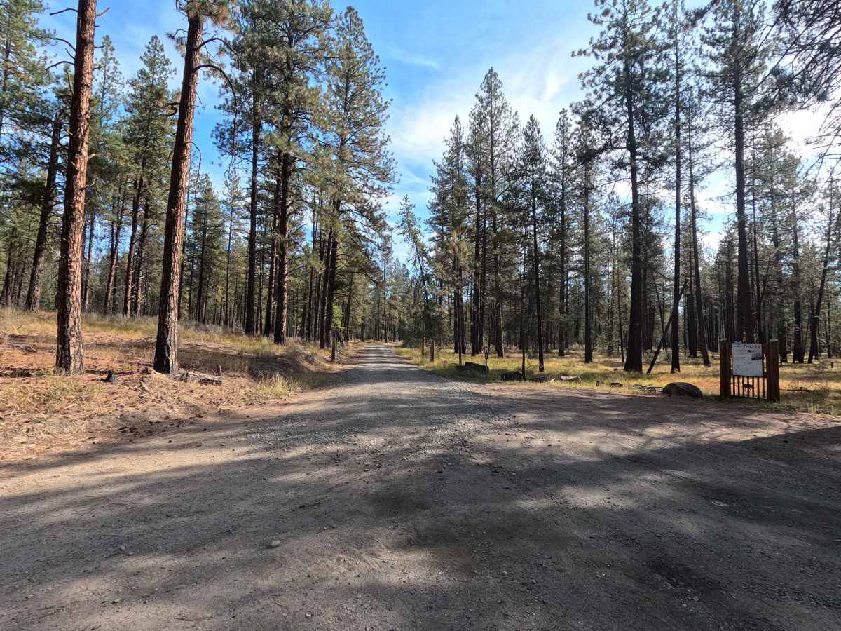
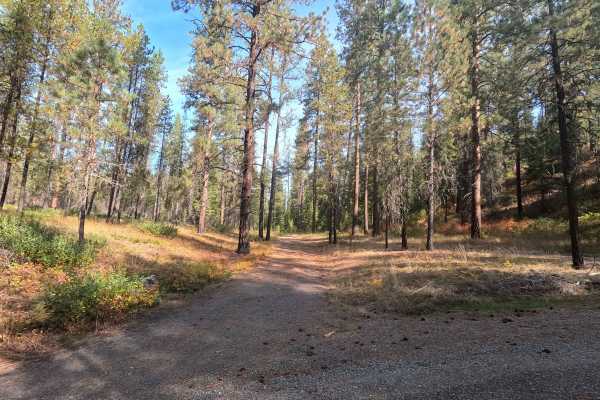
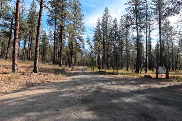
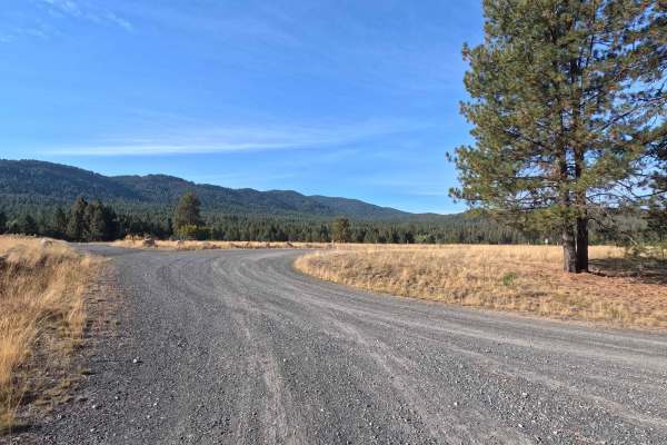
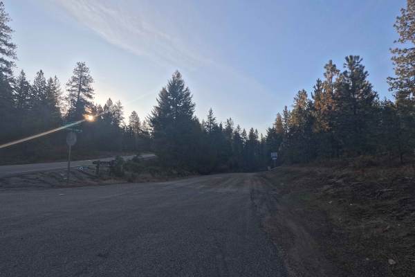
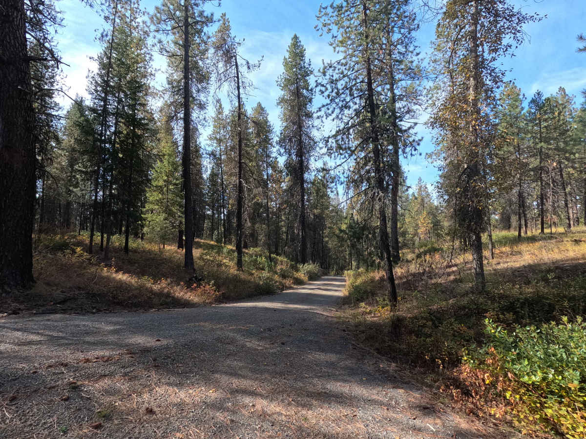
Starvation Flat Road is a 1.9-mile point-to-point route through the Little Pend Oreille National Wildlife Refuge. This single-lane gravel road is well maintained and provides a straightforward drive through the forest. The road serves as an access route to McDowell Lake as well as several designated dispersed campsites throughout this portion of the refuge.

Photos of Starvation Flat Road

Difficulty

Starvation Flat Road is rated easy. The gravel surface is well maintained with no significant obstacles, making the route suitable for most vehicles under normal conditions.

Technical Rating

1

Starvation Flat Road Trail can be accessed by the following ride types:

  • High Clearance
  • Full Width

Starvation Flat Road Map

The onX Offroad Difference

onX Offroad combines trail photos, descriptions, difficulty ratings, width restrictions, seasonality, and more in a user-friendly interface. Available on all devices, with offline access and full compatibility with CarPlay and Android Auto. Discover what you're missing today!

Open Trail Map