Blacktail Mountain Road

Total Miles12.6
Technical Rating
3Easy
Best TimeSpring, Summer, Fall
Trail TypeFull-Width Road
Accessible By
Open Trail Map

Trail Overview

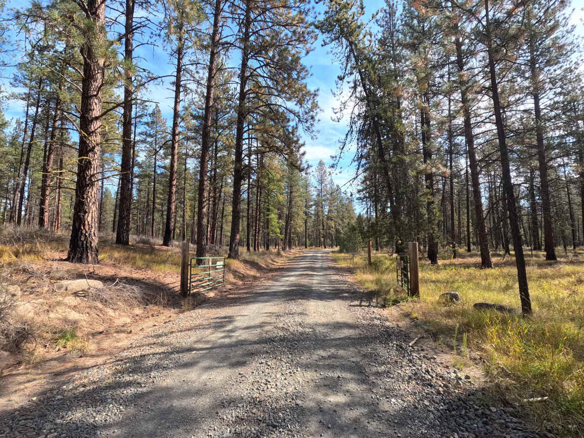
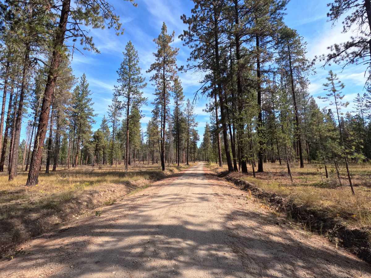
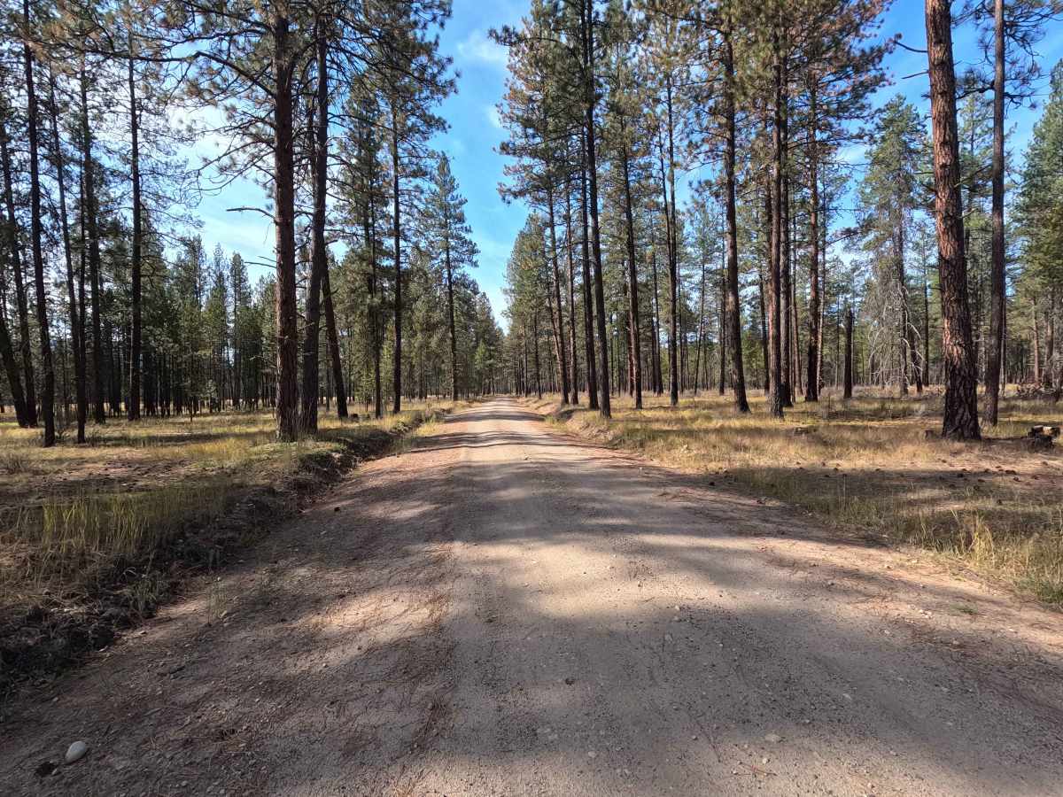
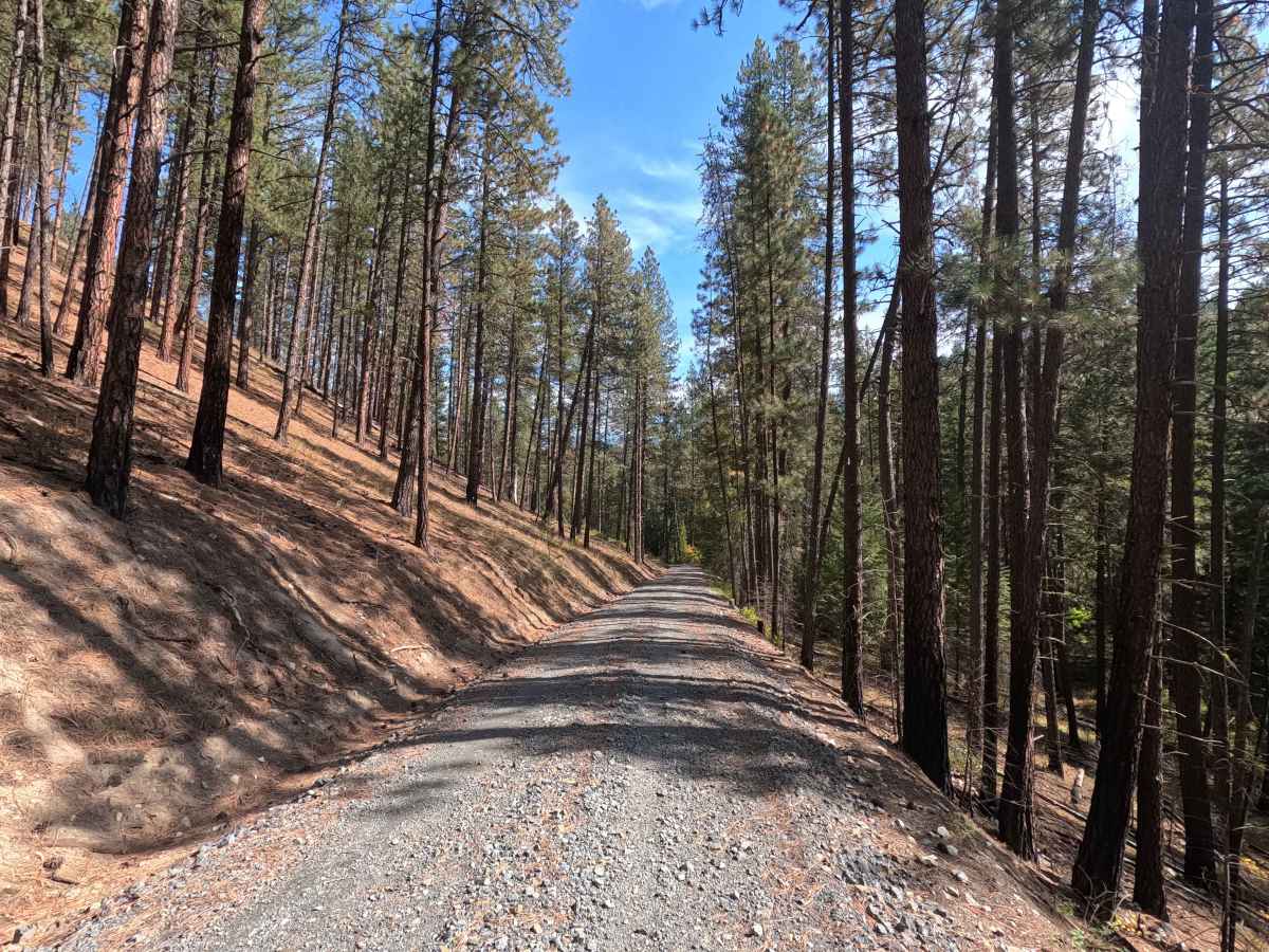
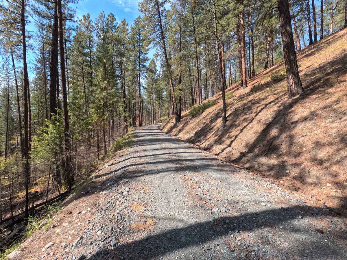
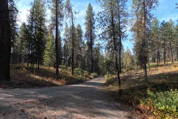
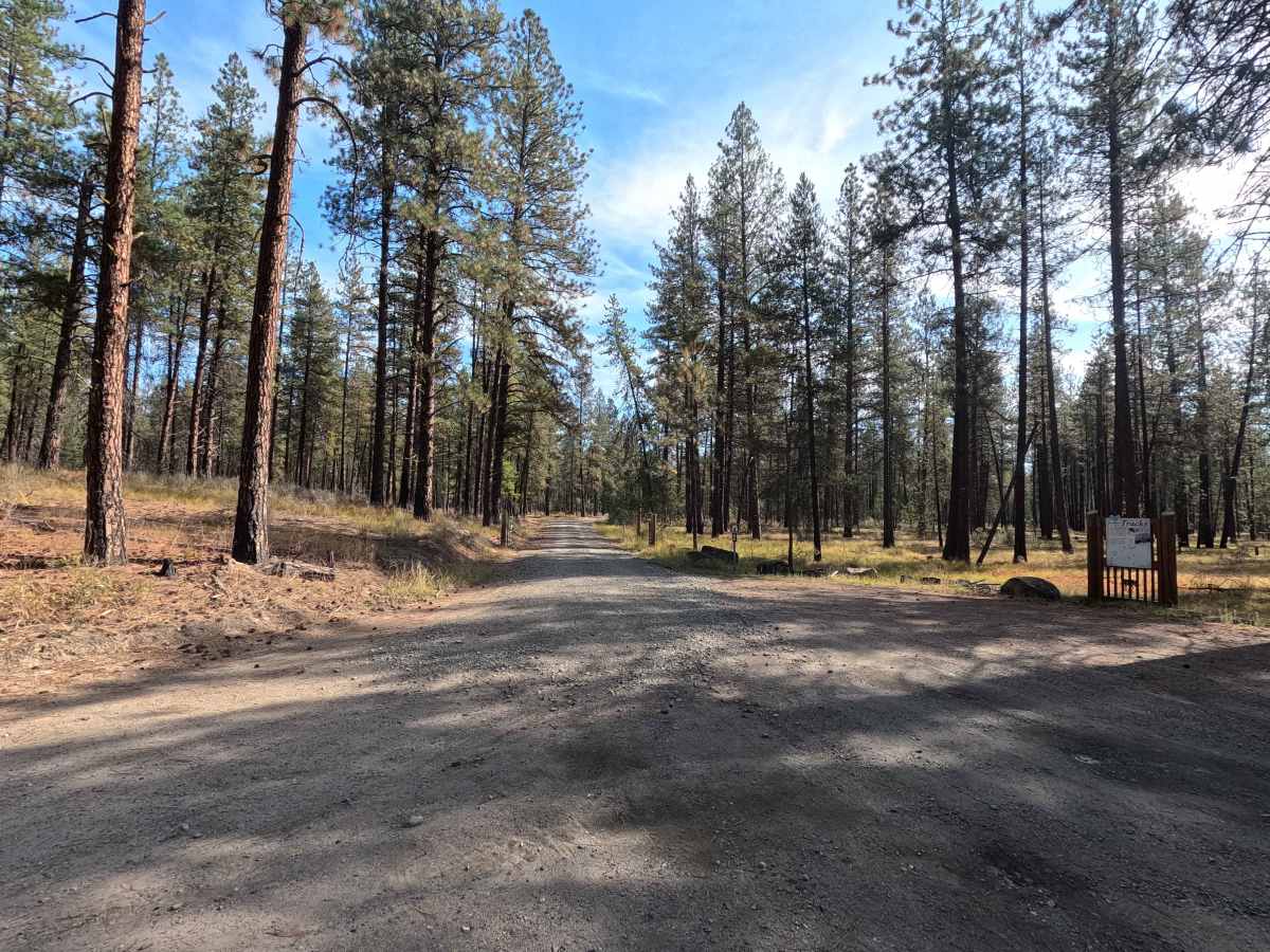
Blacktail Mountain Road is a 12.7-mile point-to-point route through the Little Pend Oreille National Wildlife Refuge area. The route begins as a well-maintained, single-lane road that alternates between gravel and dirt before eventually settling into a dirt surface. Conditions become progressively rougher farther in, with occasional water damage and rocky sections. The road eventually climbs into a series of high, narrow shelf-road switchbacks with plenty of views across the surrounding mountains and valleys. The final section follows a public right-of-way through private timberland, so users should remain on the designated road.

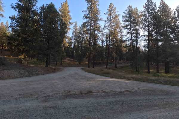
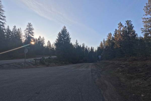
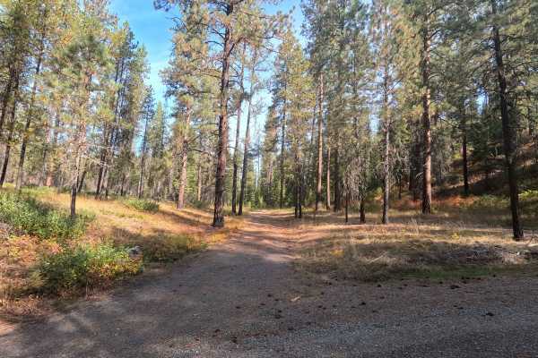
Photos of Blacktail Mountain Road

Difficulty

Blacktail Mountain Road is rated easy. Most of the route is straightforward, but the upper portion becomes rougher, narrower, and rockier. Water damage and the high shelf-road switchbacks require additional care, particularly in wet conditions.

Technical Rating

3

Blacktail Mountain Road Trail can be accessed by the following ride types:

  • High Clearance
  • Full Width

Blacktail Mountain Road Map

The onX Offroad Difference

onX Offroad combines trail photos, descriptions, difficulty ratings, width restrictions, seasonality, and more in a user-friendly interface. Available on all devices, with offline access and full compatibility with CarPlay and Android Auto. Discover what you're missing today!

Open Trail Map