Trail Overview
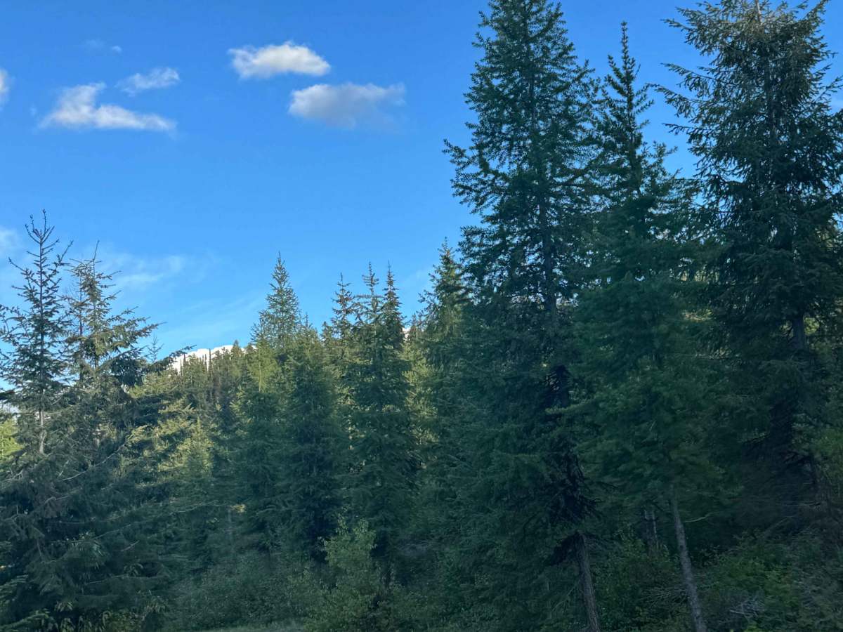
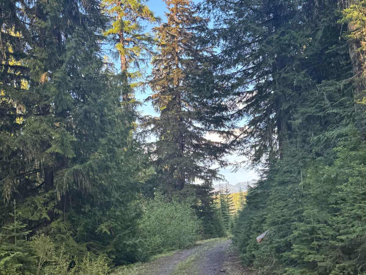
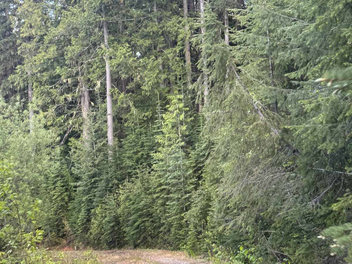
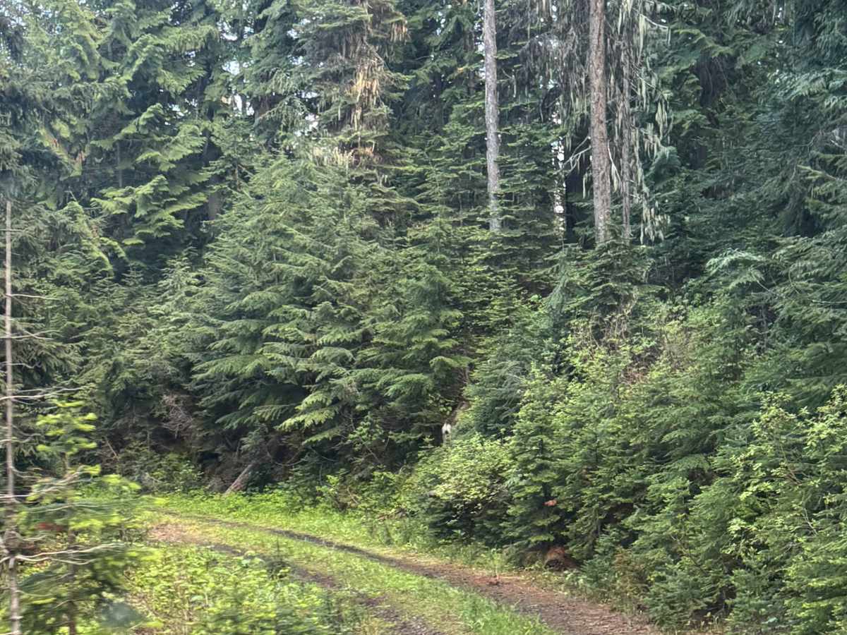
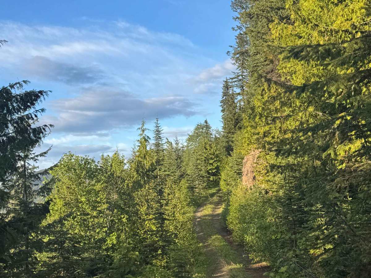
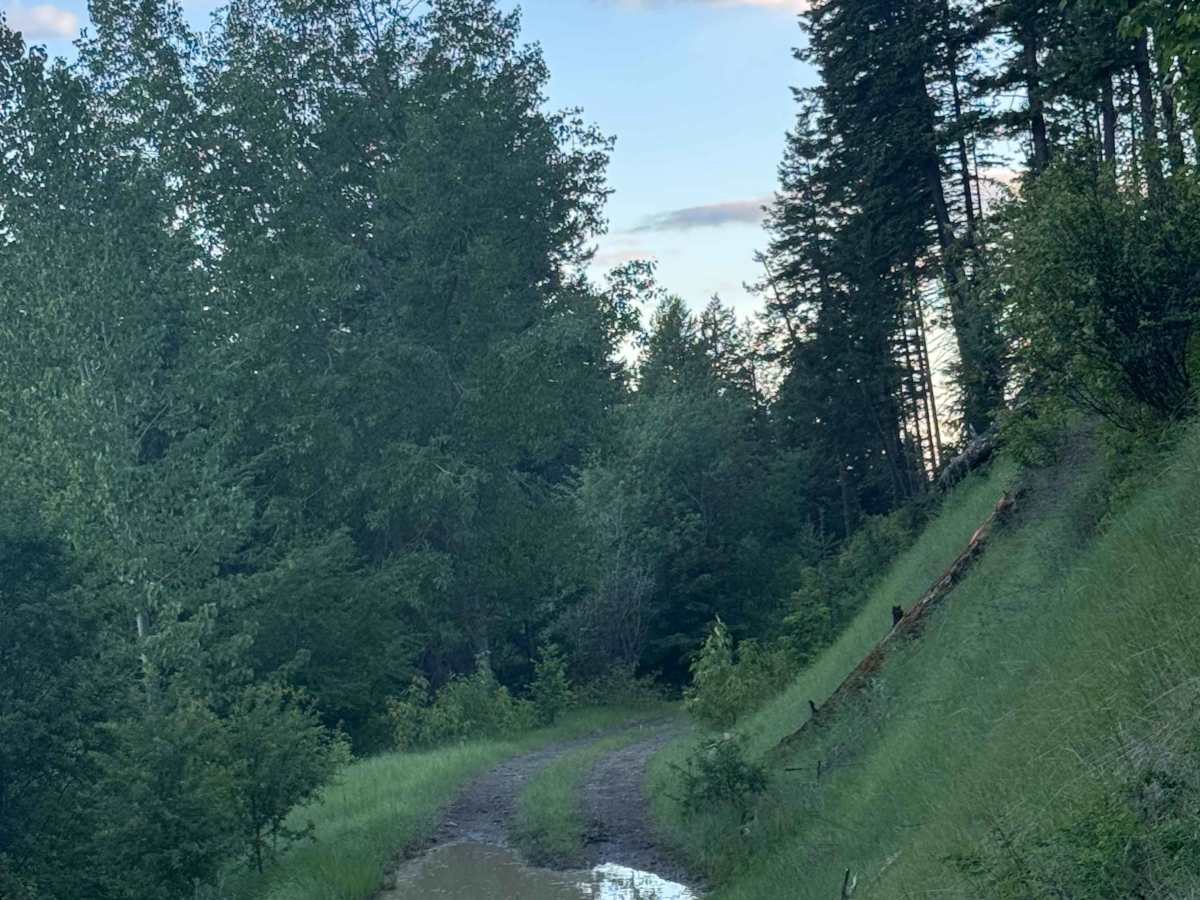
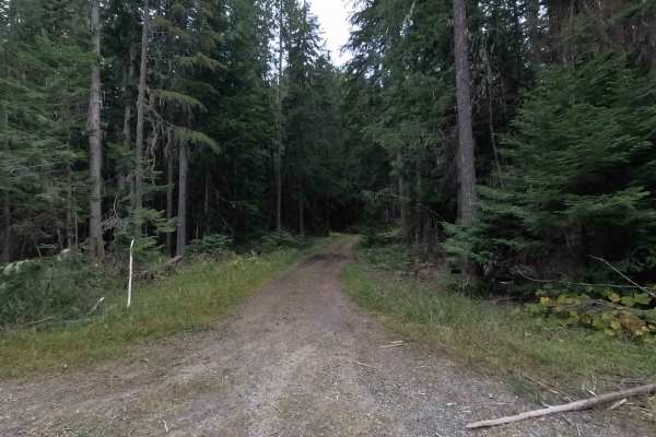
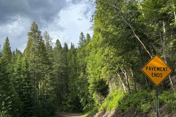
This is a gravel-based forest road that runs along the ridge of Snyder Hill. The trail is mostly two-track and relatively straight, but there are ledges with large drop-offs, and one section puts you a little off camber near the edge. There is one large mud puddle/hole that is close to the edge but less than a foot deep and easily navigated, and other than that, only minor ruts and wash. Overall, any vehicle type could traverse this trail. This trail dead-ends in a large, grassy camping area, and from this ridge, you will have panoramic views of the peaks and ridges around you and of the valley floors. Cell service was weak, and there are no amenities on the trail, so travel prepared. The nearest services are over half an hour away, as you must descend Snyder Hill to get to the main road.
Difficulty
Gravel-based trail that is narrow, one lane with no room to pass, and shelf-like. Minor ruts and wash along the trail, but suitable for any vehicle type.