Dry Canyon Ridge - FS 1933300

Total Miles6.3
Technical Rating
3Easy
Best TimeSpring, Summer, Fall
Trail TypeFull-Width Road
Accessible By
Open Trail Map

Trail Overview

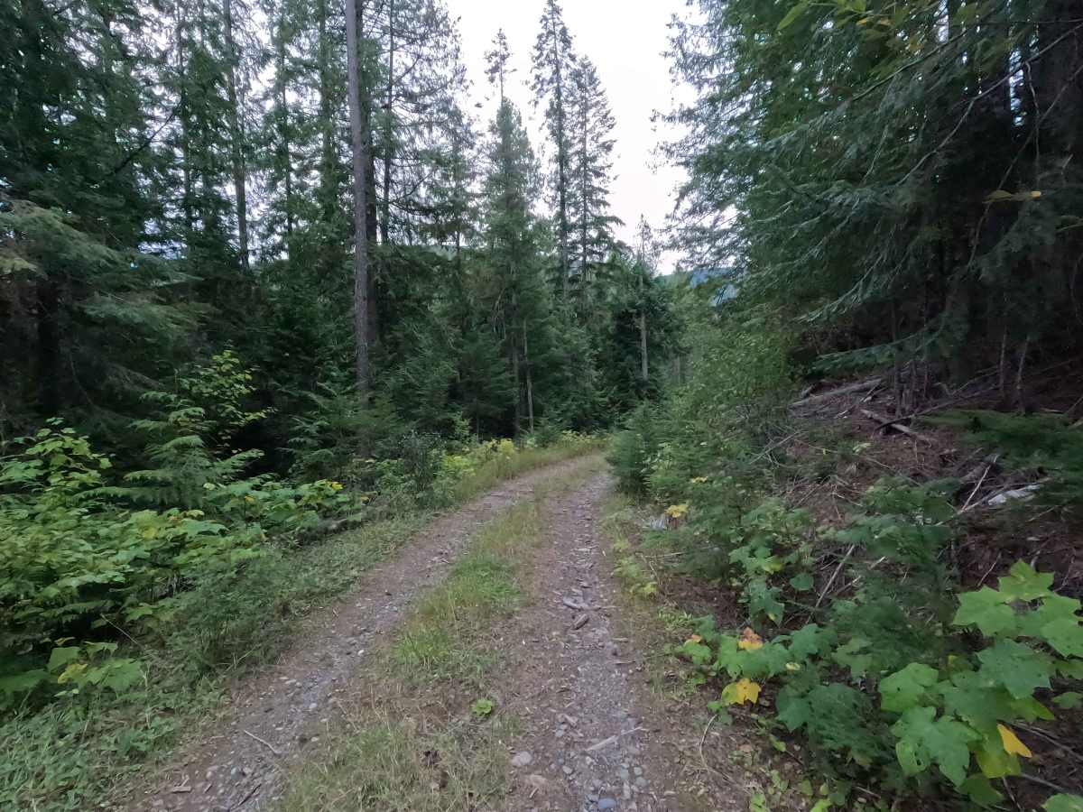
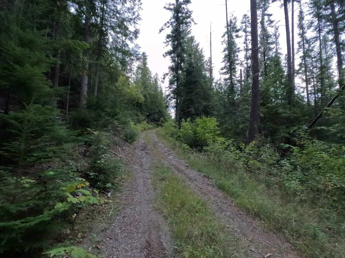
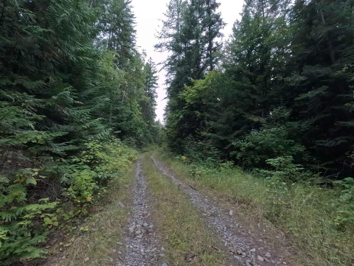
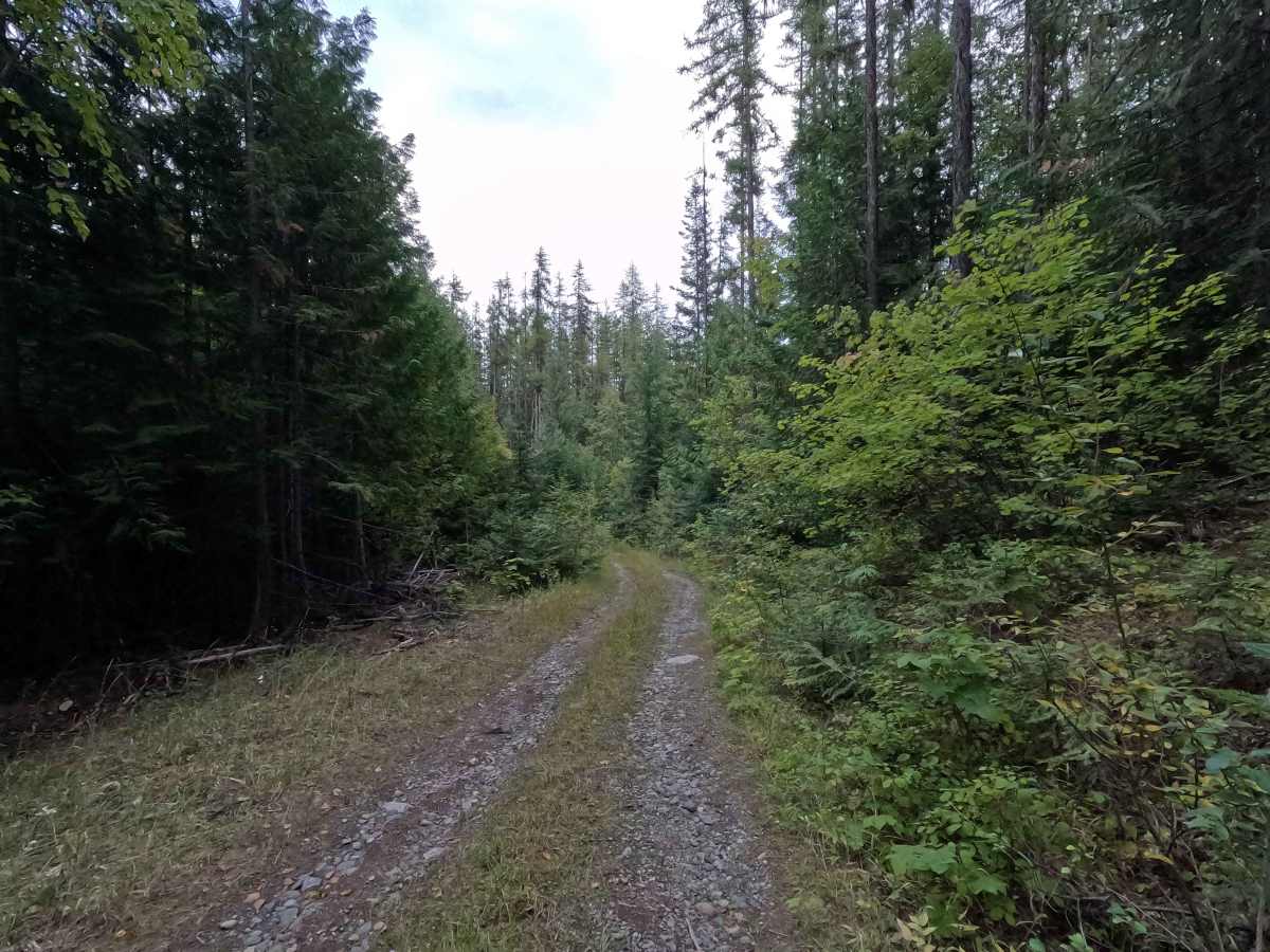
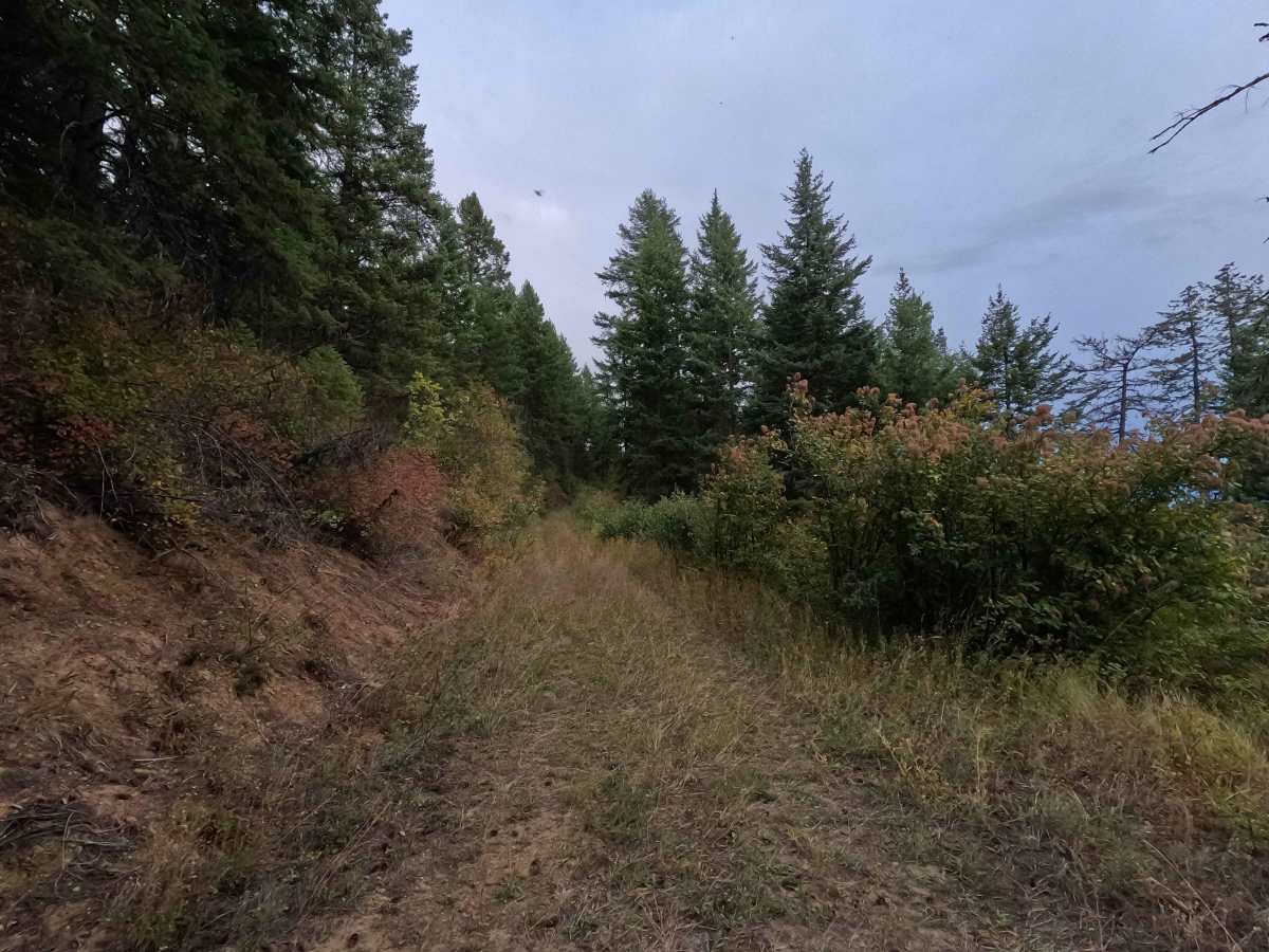
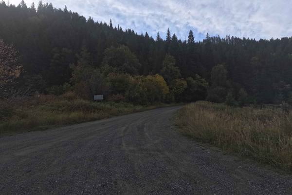
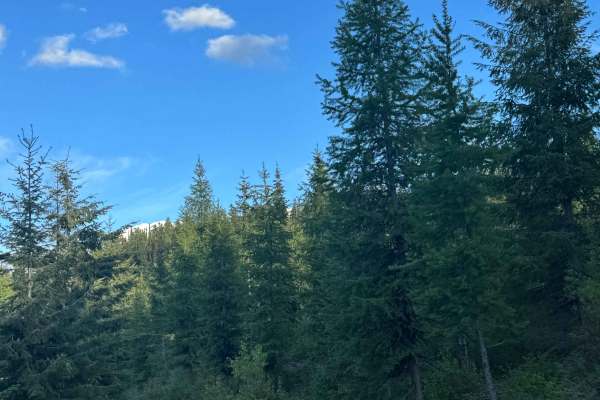
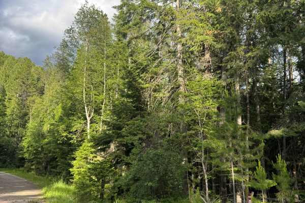
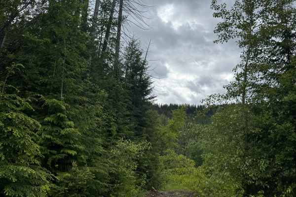
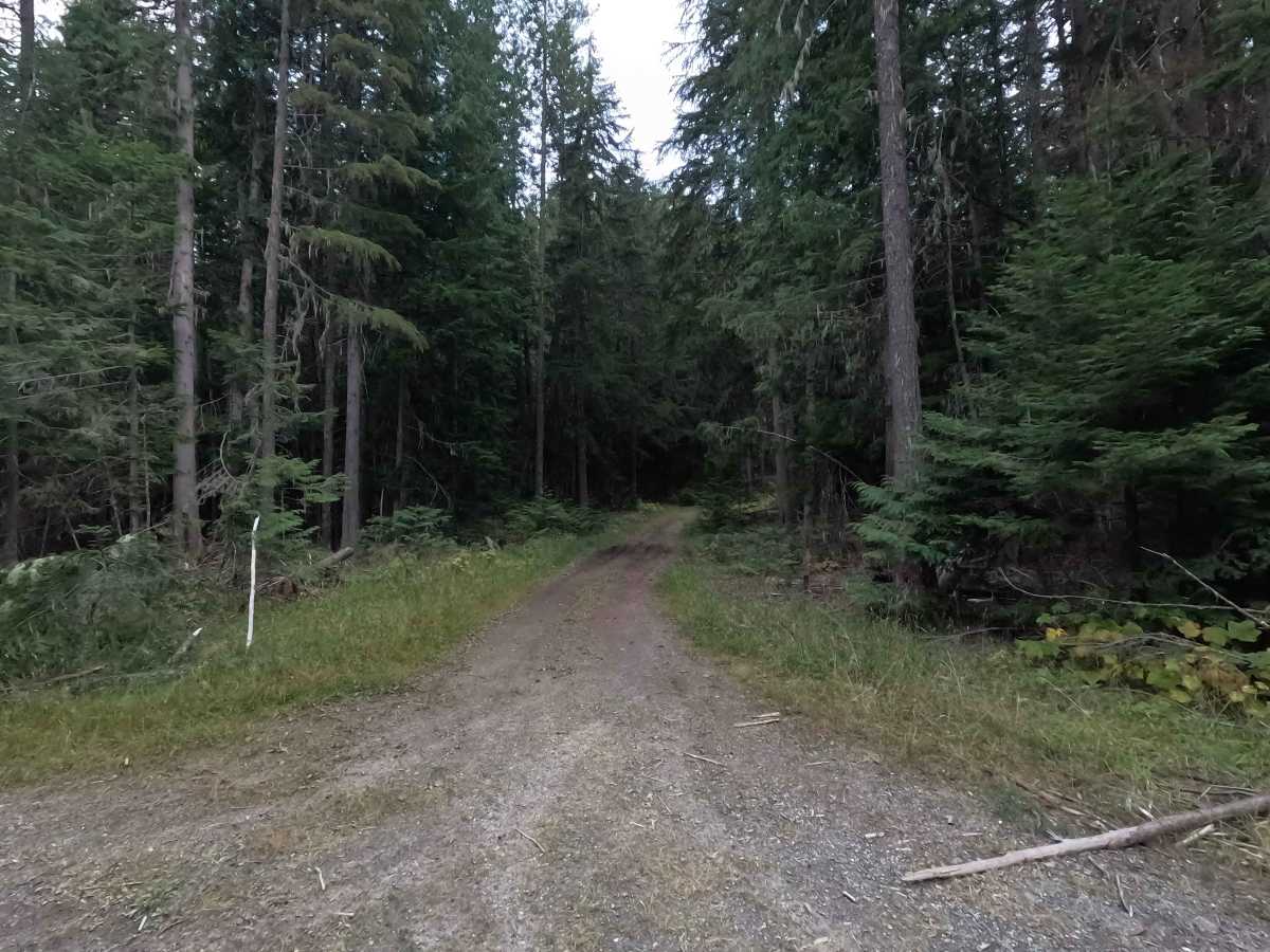
Dry Canyon Ridge - FS 1933300 is a 6.5-mile point-to-point route through Colville National Forest. The road is overgrown in spots and includes several steep sections with loose rock. Deep grass covers the roadway in some areas and can hide rocks and other uneven terrain beneath the surface. Brush encroachment also makes the road narrow in places. Dry Canyon Ridge is open to highway-legal vehicles.

Photos of Dry Canyon Ridge - FS 1933300

Difficulty

Dry Canyon Ridge - FS 1933300 is rated moderate. Several steep, loose, rocky sections require careful tire placement, and deep grass can hide rocks and uneven terrain. Brush encroachment creates additional narrow sections, and drivers should expect some pinstriping.

Technical Rating

3

Dry Canyon Ridge - FS 1933300 Trail can be accessed by the following ride types:

  • High Clearance
  • Full Width

Dry Canyon Ridge - FS 1933300 Map

The onX Offroad Difference

onX Offroad combines trail photos, descriptions, difficulty ratings, width restrictions, seasonality, and more in a user-friendly interface. Available on all devices, with offline access and full compatibility with CarPlay and Android Auto. Discover what you're missing today!

Open Trail Map