Trail Overview
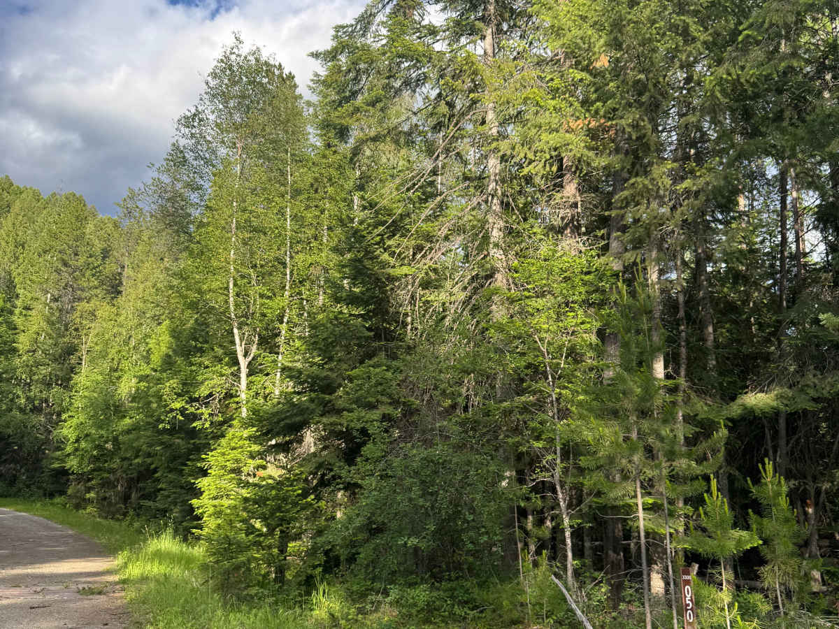
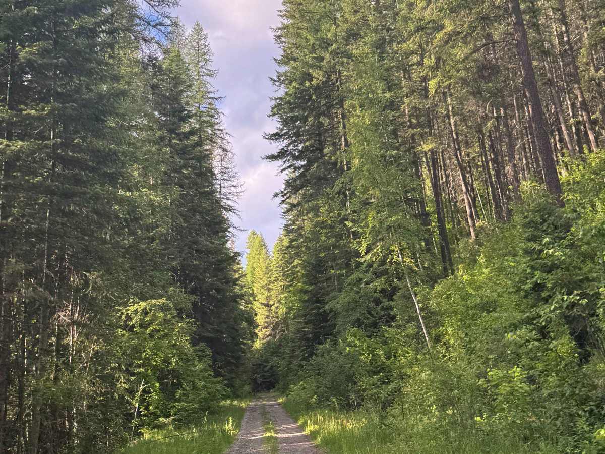
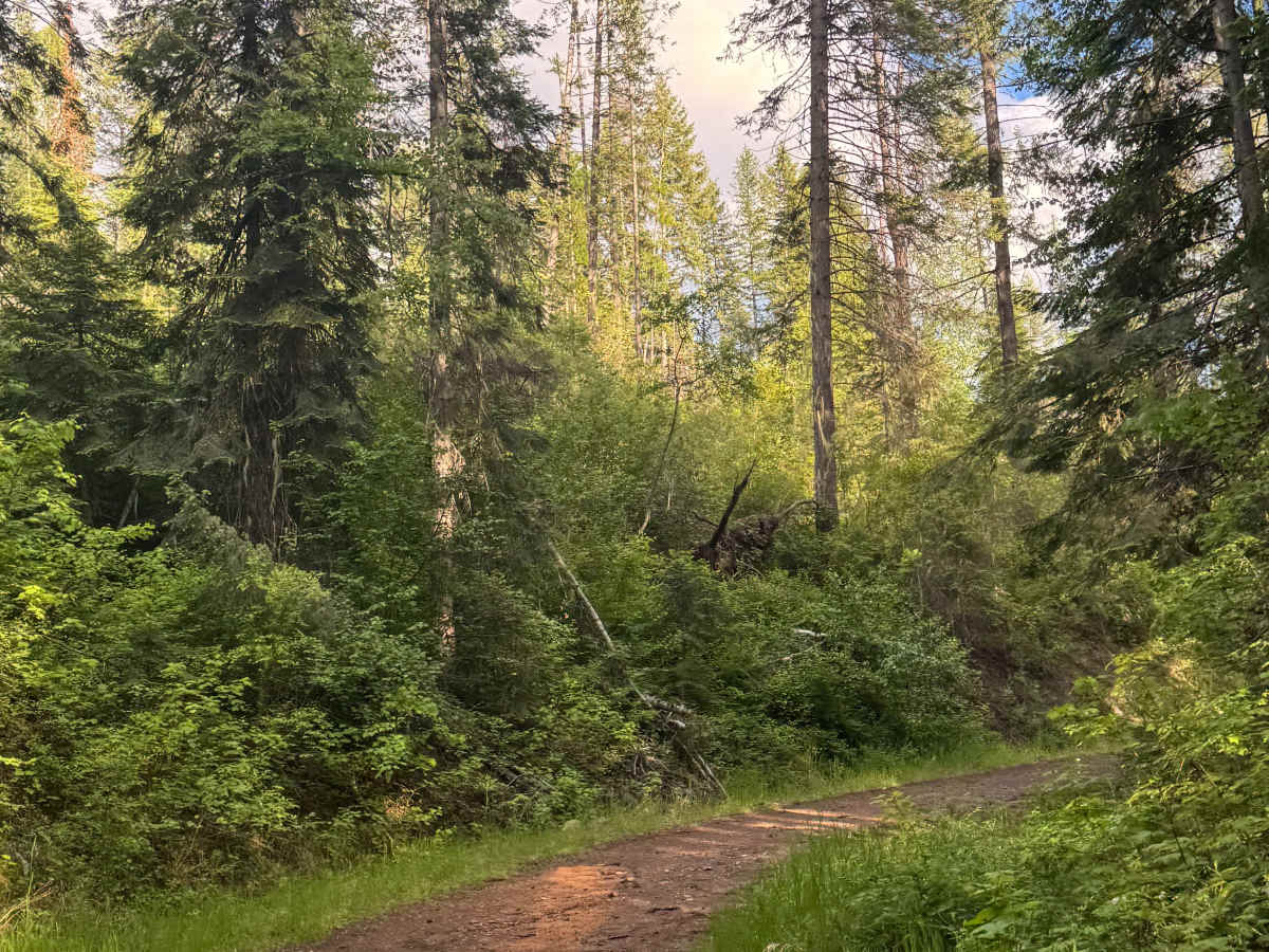
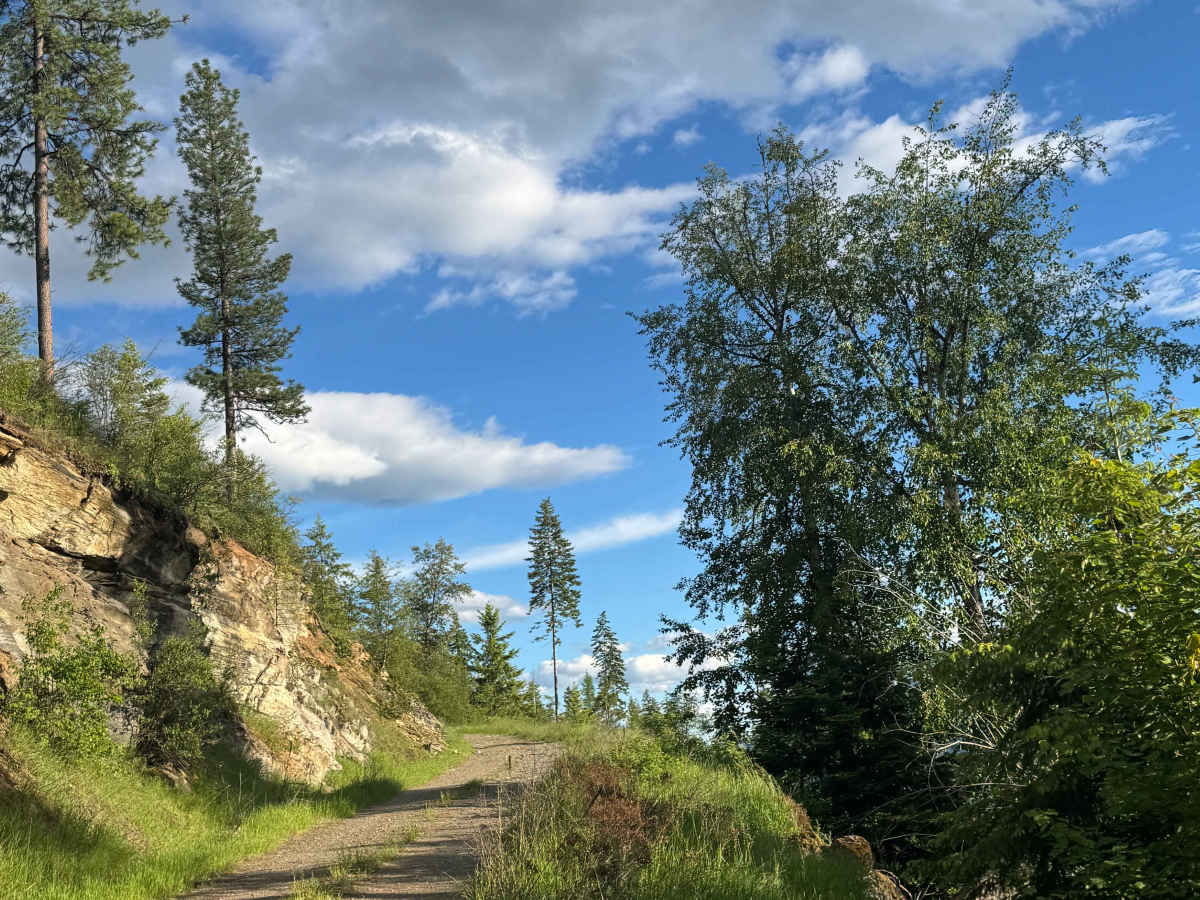
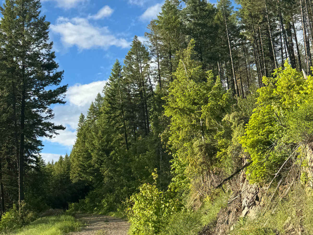
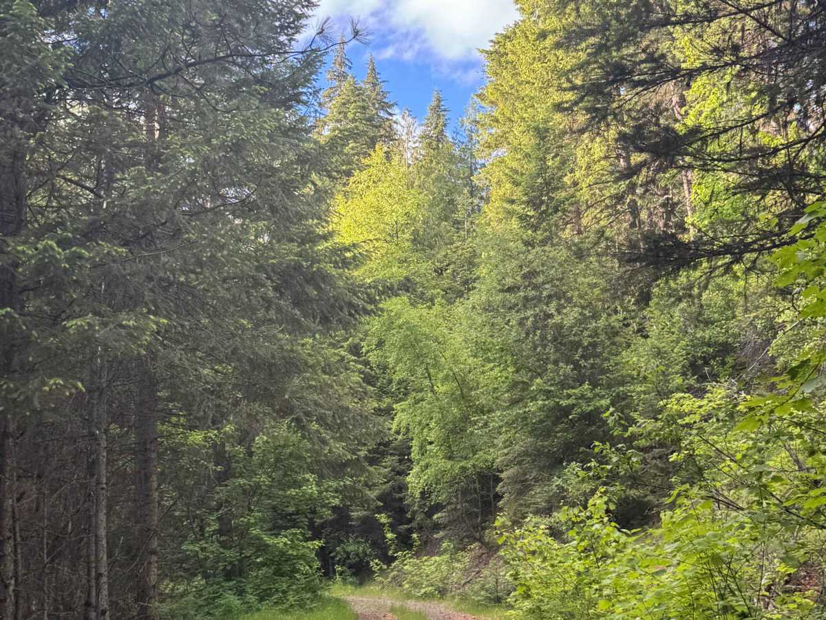
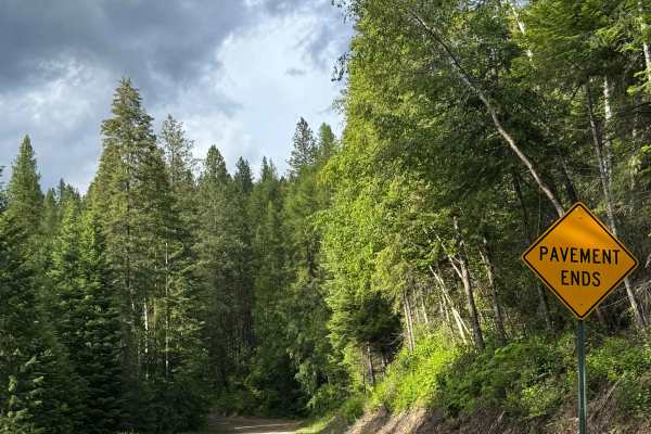
This trail starts wide and gravelly as it weaves through private property. When you cross into the National Forest, the trail becomes dirt-based and narrows. The trail climbs over 2,800 feet in elevation before dead-ending at the top in a spot with room to camp. There are switchbacks with ledges and drop-offs, making the road shelf-like, and the further you go, the more overgrown vegetation you will encounter along the trail. There are ruts and washouts up to a foot deep, and there is a mud hole about a foot deep with a slick, dirt bottom. The forest is dense until you reach the top; then you will have views of the surrounding ridges and peaks. Camping is allowed along this route once you cross into the national forest. Cell phone service was weak on the trail, and there were no amenities. From the beginning of this trail, you are less than 10 minutes from the City of Ione, Washington, which is the nearest source of supplies and services. High clearance 4x4 is recommended for this trail.
Difficulty
Starts as a wide gravel road through private property into the National Forest. The trail narrows and becomes dirt-based with overgrown vegetation and ruts/wash up to a foot deep. Multiple switchbacks and ledges with some shelf road areas, but any vehicle type should be able to traverse this trail.


 Offroad