Trail Overview
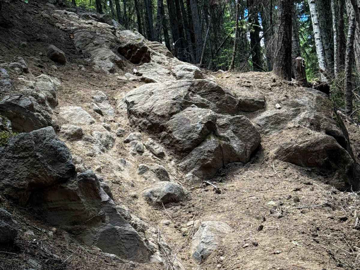
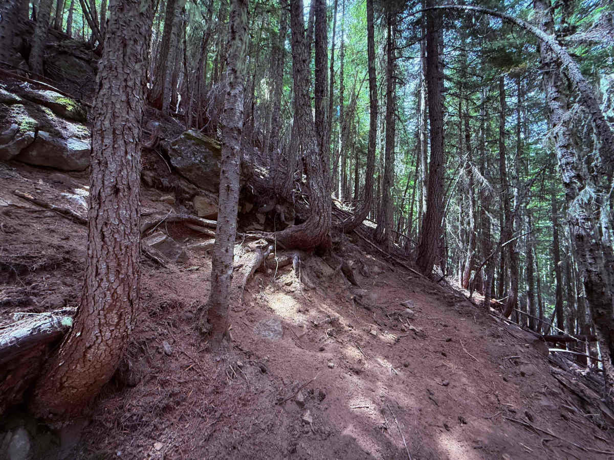
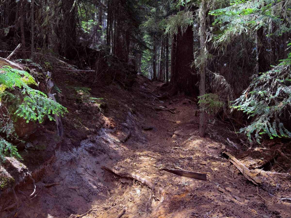
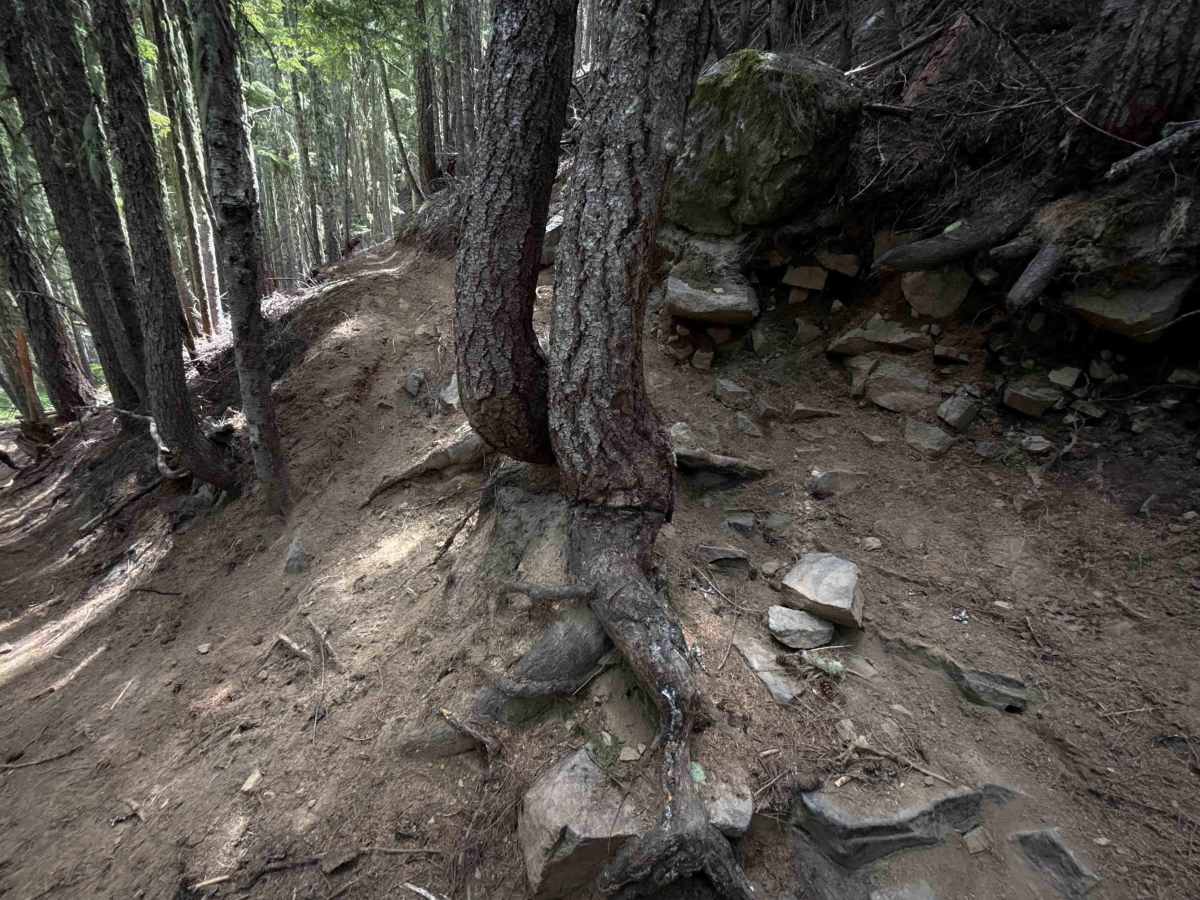
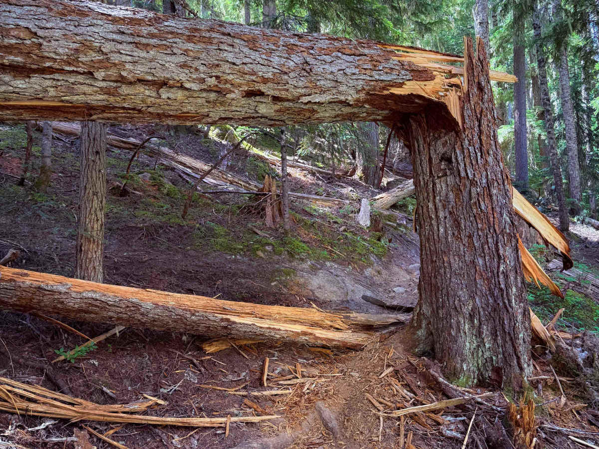
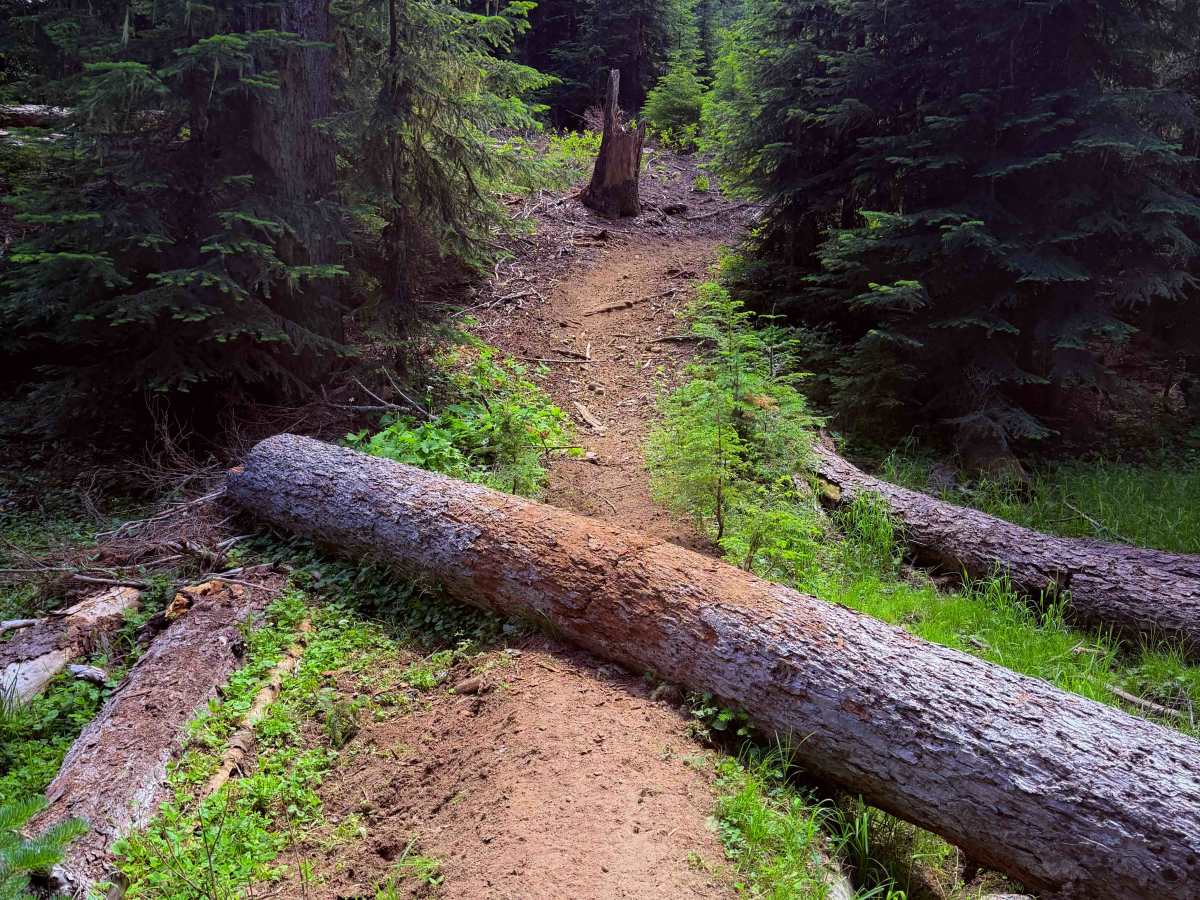
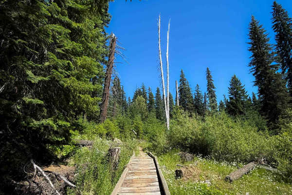
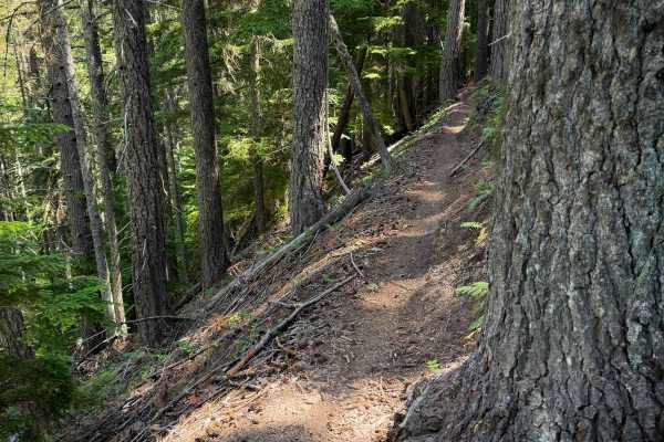
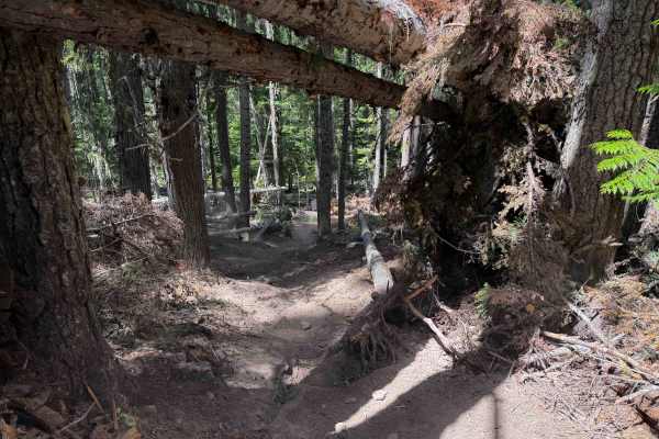
Middle Fork is a 7-mile-long intermediate route through the Wenatchee National Forest. The trail is a constant climb up from north to south, gaining over 2,800 feet in elevation over the ascent. The northern half is easier, being mostly a fast and flowy trail through a dense forest with lots of shade, gradually curving through the forest on a mostly wide path with no big obstacles. There is a little bit of mild exposure in the first half, and a few moderate switchbacks both up and down, sometimes with embedded roots. The southern half of the trail is steeper with a couple more difficult switchbacks. One of the switchbacks has a tight turn around a tree with embedded roots and rocks across the trail. It is a steep and tight turn that will require good pivot skills. This leads into a more difficult rock obstacle that is a steep rock face with short ledges, on an exposed hillside. The trail keeps climbing up more moderate and smooth switchbacks through a scenic forest of moss-covered red cedars, until it ends on FS 1902. The trail had a couple of larger logs that appear to be more permanent fixtures of the trail, requiring some good log-crossing skills and tight maneuvers around some larger fallen logs. However, smaller and recent downfalls were cut by early summer.
Difficulty
This is an upper-intermediate-difficulty trail due to a few more difficult features throughout the 7-mile route, including several moderate switchbacks, one more technical root switchback, one more difficult rock obstacle, and several large log crossings. The northern half of the trail is easier, while the southern half is steeper and more technical.