Greenwater/Naches Trail

Total Miles7.4
Technical Rating
3Easy
Best TimeSummer
Trail TypeFull-Width Road
Accessible By
Open Trail Map

Trail Overview

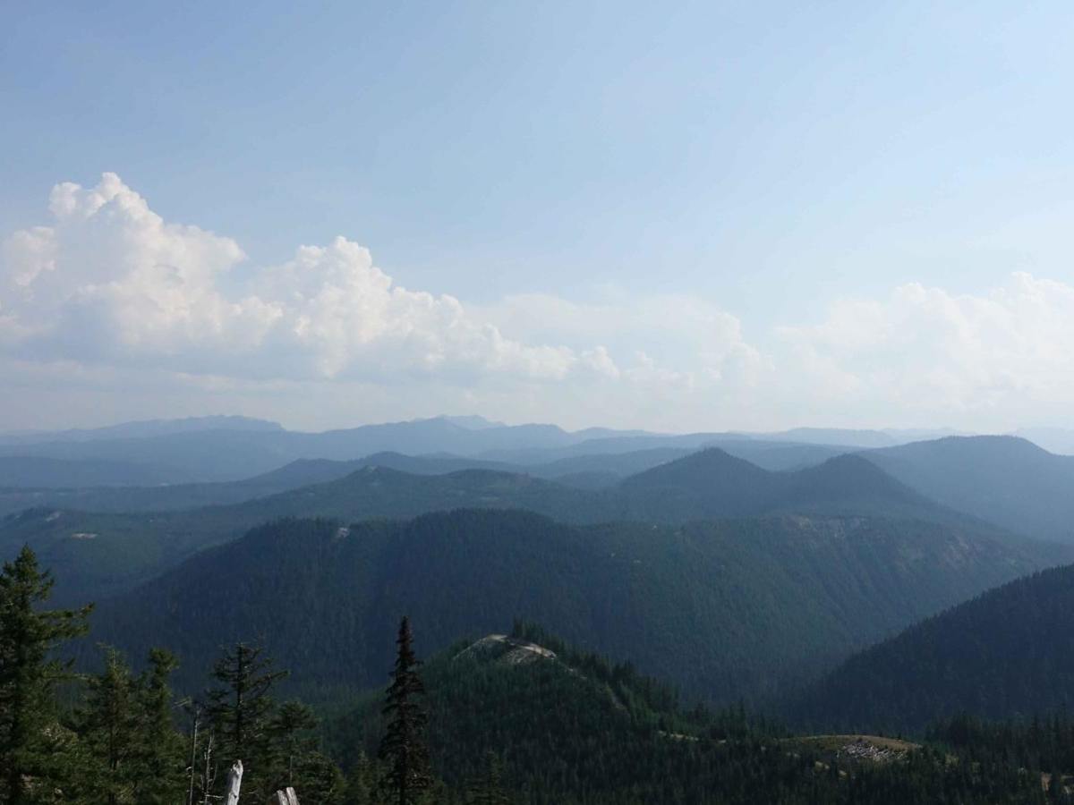
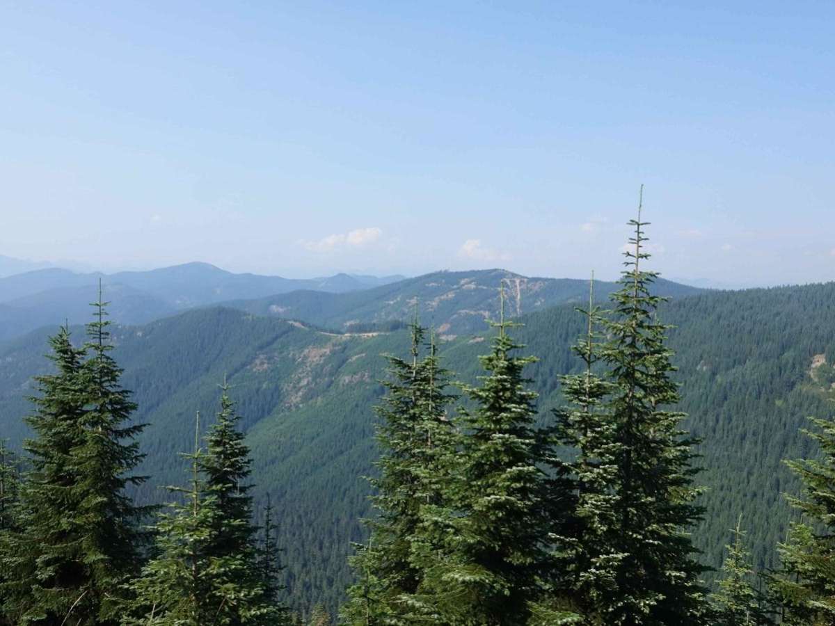
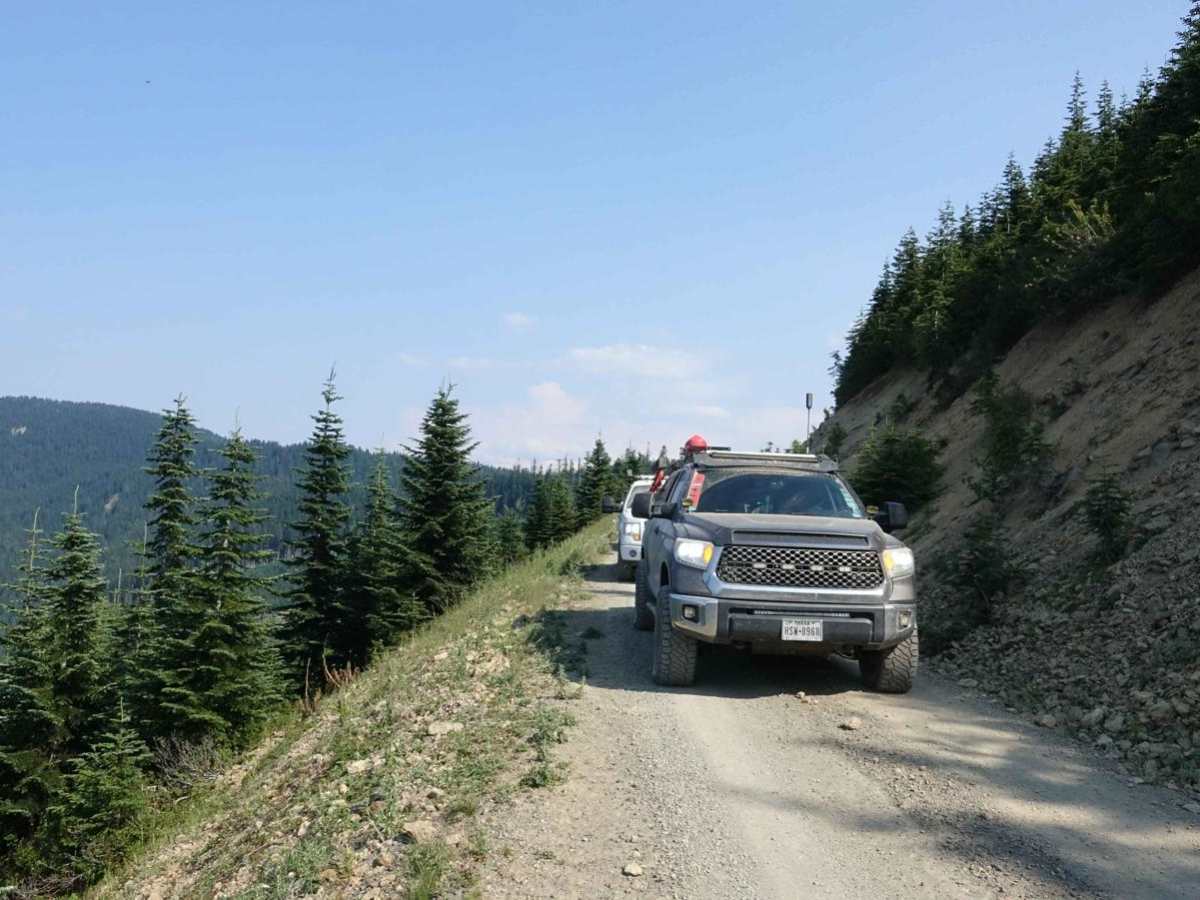
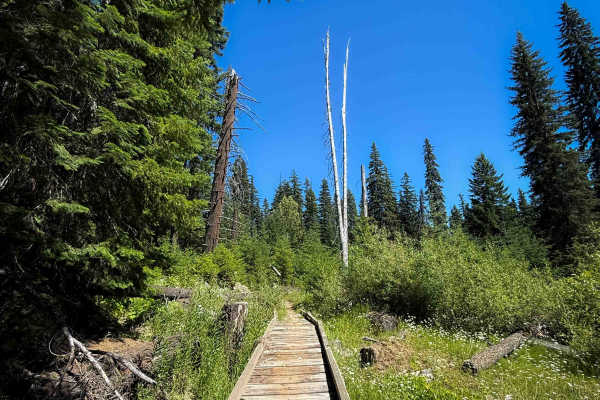
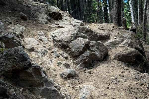
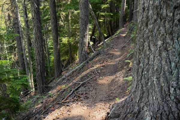
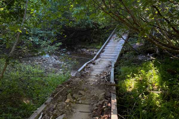
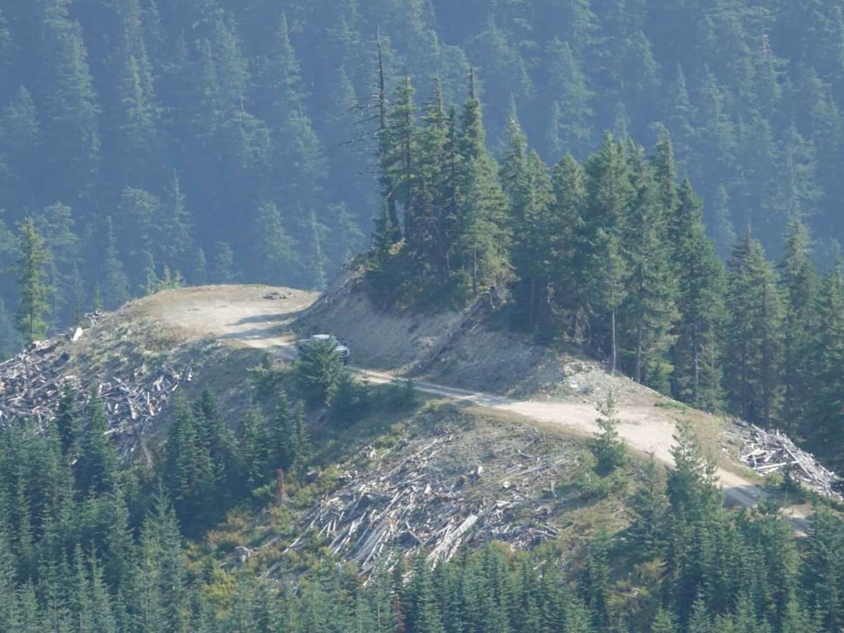
This trail climbs 2000 plus feet from the East end of the Naches Pass trail to the high point on Stampede Trail. It winds through the woods on the South end and along both sides of a ridge at the North end. The mountain views are outstanding. One section of the trail rides the top of the ridge with drops and views on both sides. In the summer this trail is outstanding, but a bit dusty. Spring or Fall travel on the trail is not recommended.

Photos of Greenwater/Naches Trail

Difficulty

If you can get to this trail through Stamped Trail or FS70, it will be no problem. The only concern is the sheer drops which require concentration.

Technical Rating

3

Status Reports

Add Status Report
Mike Anderson
Jun 06, 2026
2017 Chevrolet Silverado
Open
Muddy/WetSnow/Ice
First time being on this trail. Needed to find another route over to forest road 19 since the Greenwater to Cliffdell trail has a severe landslide. Have wanted to take this trail for a long time. Had snow falling at the top. Really fun driving into and out of the snow level.
William Brackett
Nov 29, 2025
Obstructed
Deep Snow
Tried to take this trail back to the trail head of Natches trail and could not make it half way through. About 2ft of fresh snow that my brother and I were trying to plow through in our jeeps. Even aired down and had chains on it was too deep of snow and too slippery to make it through. Had to back out and find a different route.
Emerald City Rivian Club
Jul 24, 2025
2022 Rivian R1T
Open
NormalDusty
Nice open road with great views of Rainier. Passed a Subaru so most vehicles could easily drive this road by airing down to reduce the risk of small rock punctures.

Greenwater/Naches Trail Trail can be accessed by the following ride types:

  • Single Track
  • 50 Inch
  • 60 Inch
  • High Clearance
  • Full Width

Greenwater/Naches Trail Map

The onX Offroad Difference

onX Offroad combines trail photos, descriptions, difficulty ratings, width restrictions, seasonality, and more in a user-friendly interface. Available on all devices, with offline access and full compatibility with CarPlay and Android Auto. Discover what you're missing today!

Open Trail Map