Trail Overview
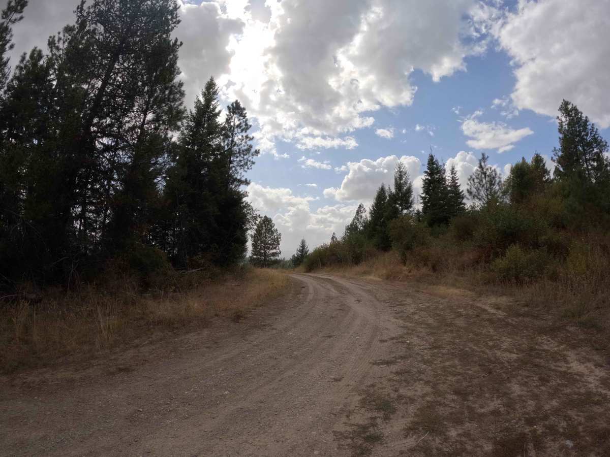
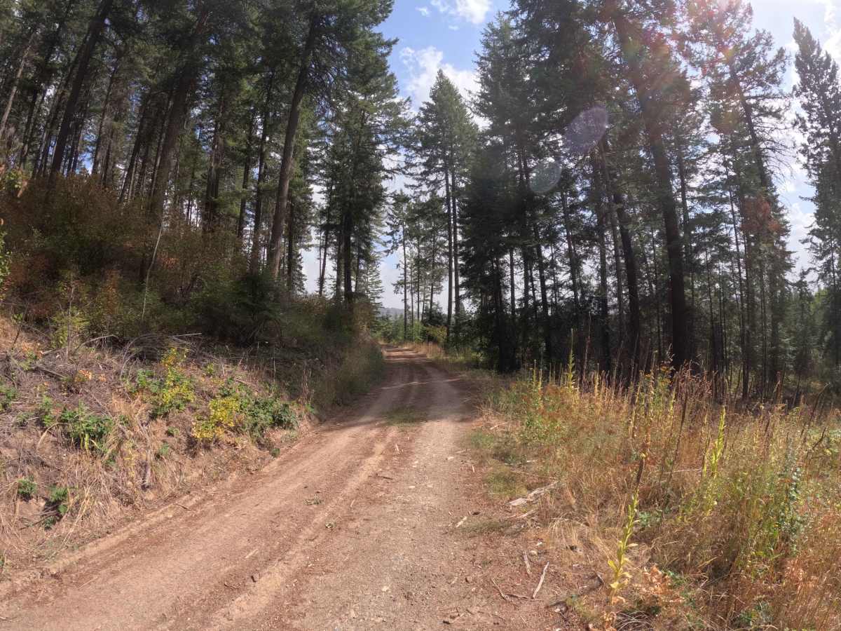
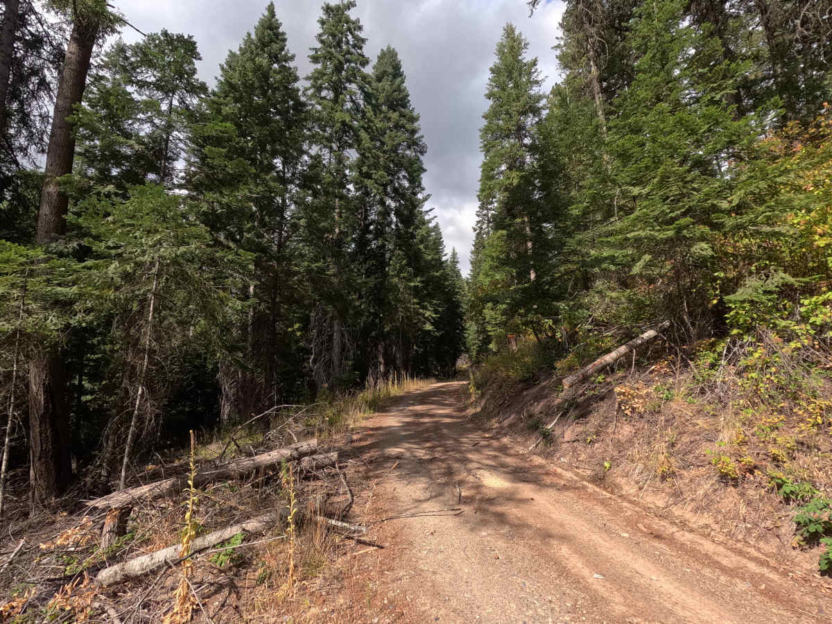
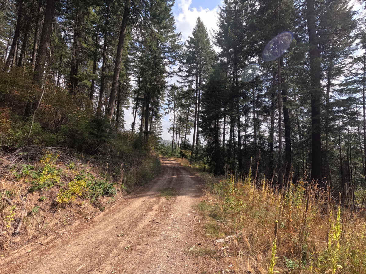
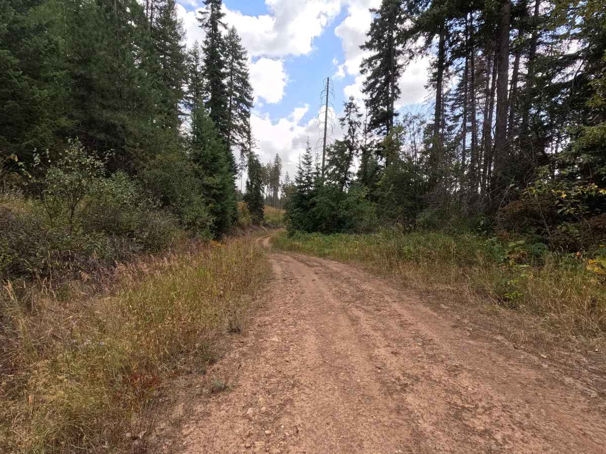
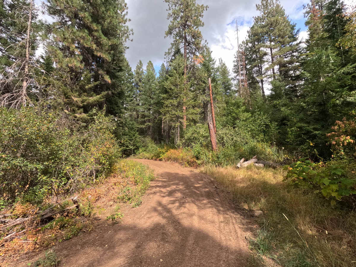
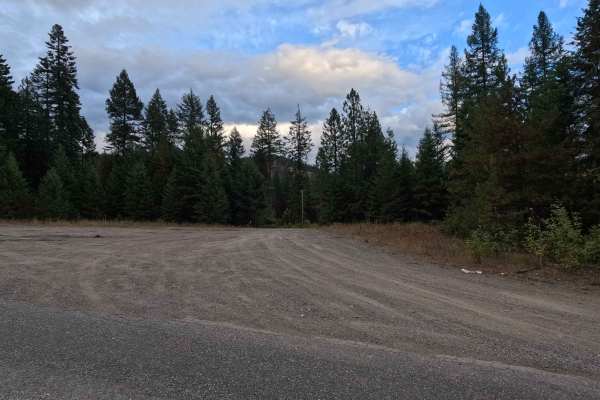
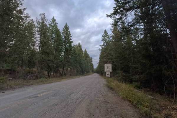
Lucky 21 - FS 5000010 is a 2.4-mile out-and-back route open to street-legal vehicles. The route travels across both Colville National Forest and Washington Department of Natural Resources lands, following a single-lane dirt road through the forest before ending near the boundary of the Kalispel Reservation, where the route is blocked by downed trees. Please note that reservation land access is restricted to tribal members only. Mild brush encroachment can be found along portions of the route. Carrying a chainsaw is recommended, as downed trees may occasionally block travel. A Discover Pass is required when recreating on Department of Natural Resources lands, managed portions of the route.
Difficulty
Lucky 21 - FS 5000010 is rated easy. When dry, the route is generally suitable for 2WD vehicles and presents no significant obstacles. Wet conditions can make the dirt surface muddy and considerably more difficult, particularly after prolonged rain or during spring conditions.