Trail Overview
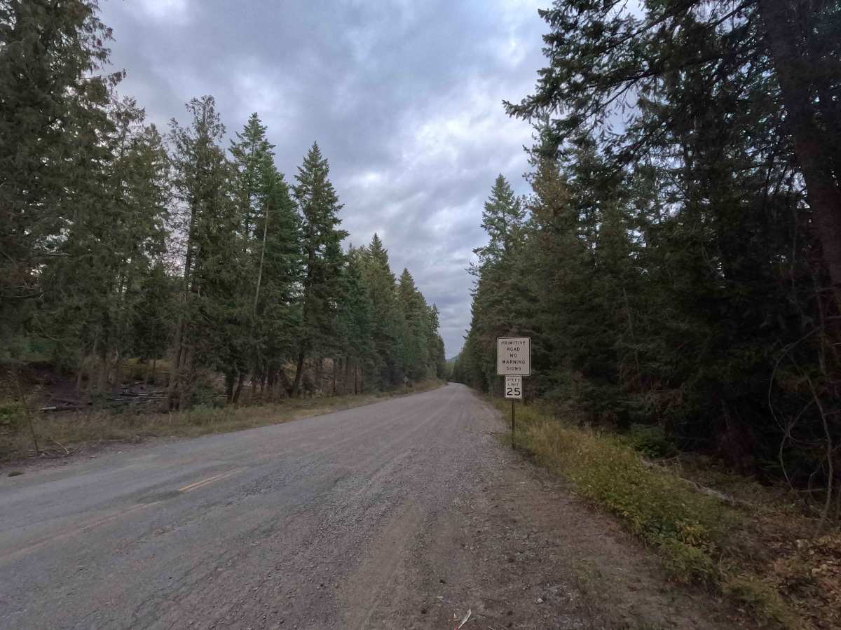
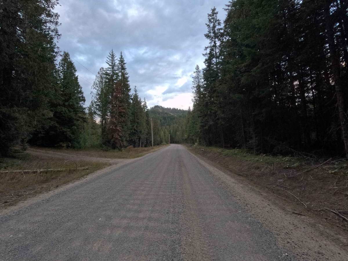
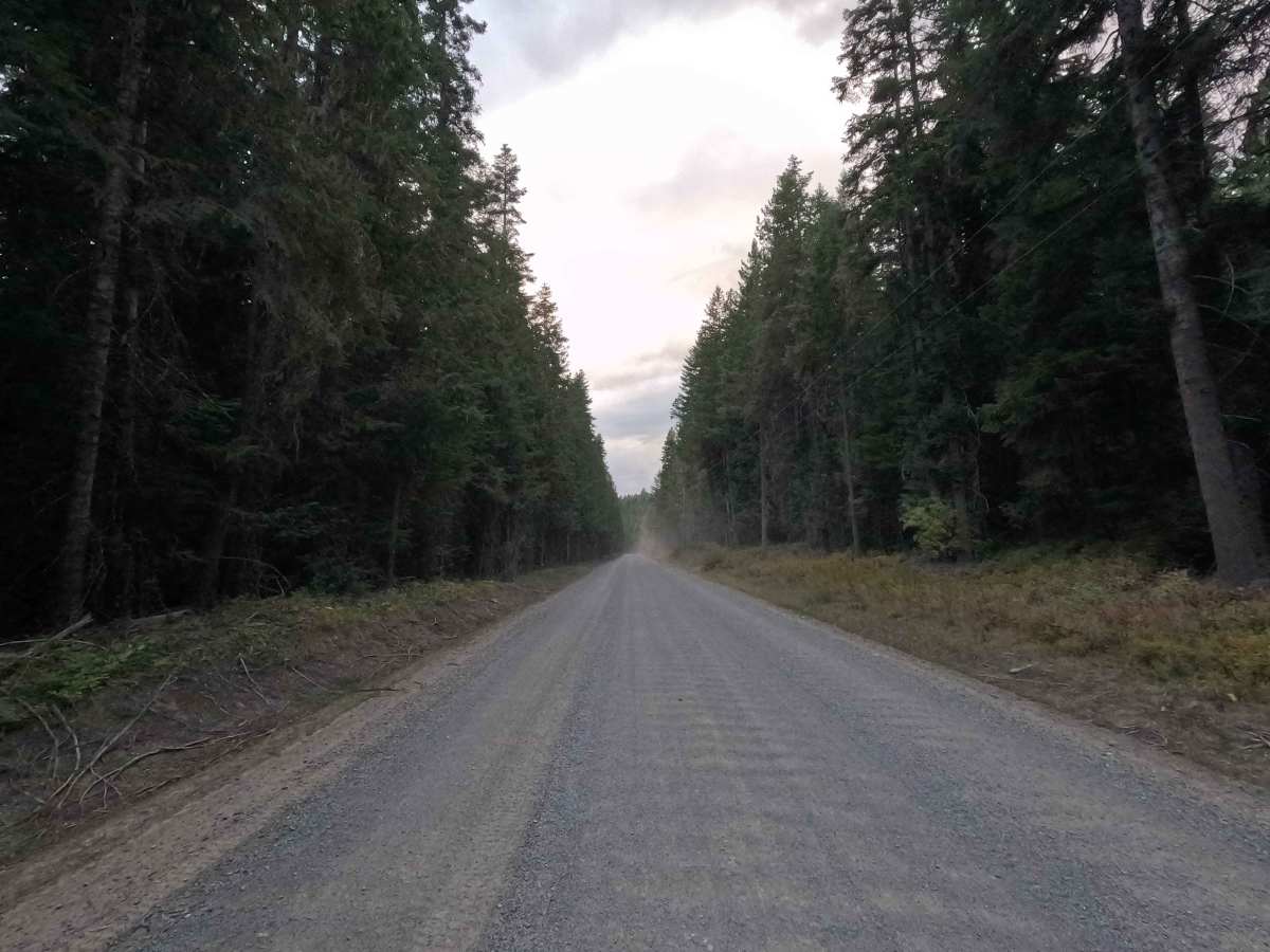
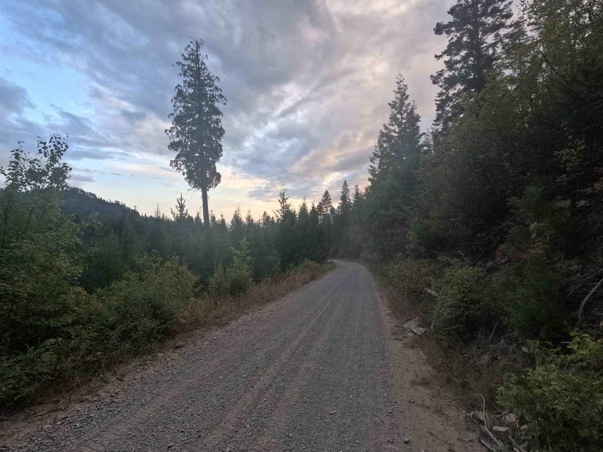
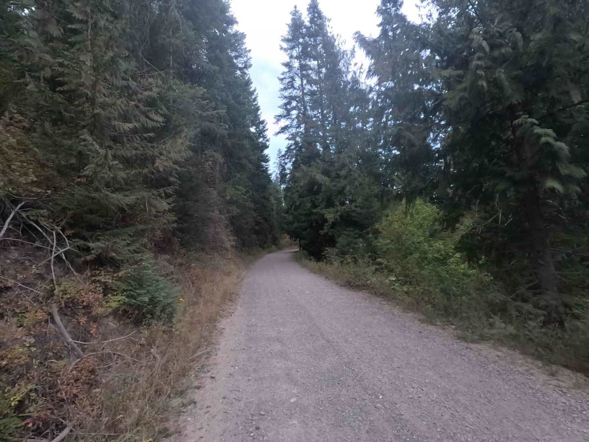
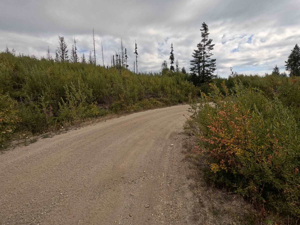
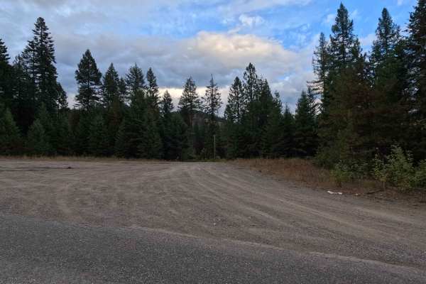
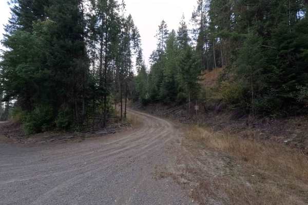
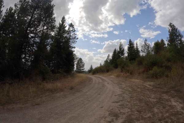
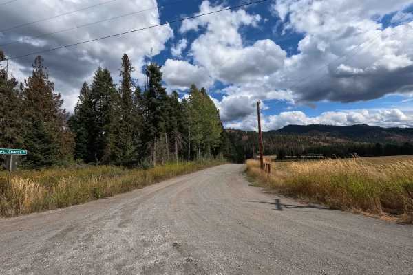
Kings Lake Road is a 19.1-mile point-to-point route through Colville National Forest. From the west side, the route starts as a wide, two-lane road before narrowing as it climbs into the mountains, eventually becoming a single lane around Kings Lake. Kings Lake Road serves as a major access route for dozens of forest roads and trails throughout the area. The road is very winding with a primarily silty surface, along with some washboarding, rutted sections, and rocky areas. Elevation ranges from around 2,400 feet to 4,600 feet along the route. After descending back down, the road transitions back to a well-maintained, wide two-lane gravel road. Kings Lake Road ends at the state line, where it continues as Bear Paw Road.
Difficulty
Kings Lake Road is rated easy. Most of the route is straightforward and presents few technical challenges, though washboarding, ruts, loose rock, and narrow sections in the higher-altitude section can require slower speeds. Most high-clearance vehicles should have little difficulty under normal conditions.