Trail Overview
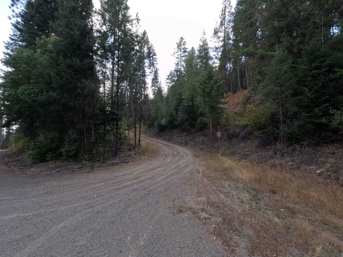
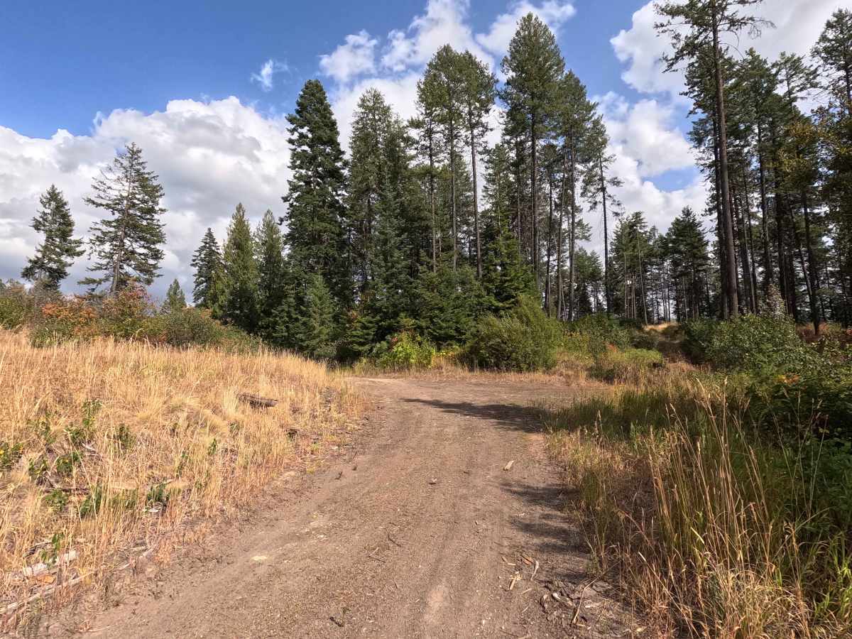
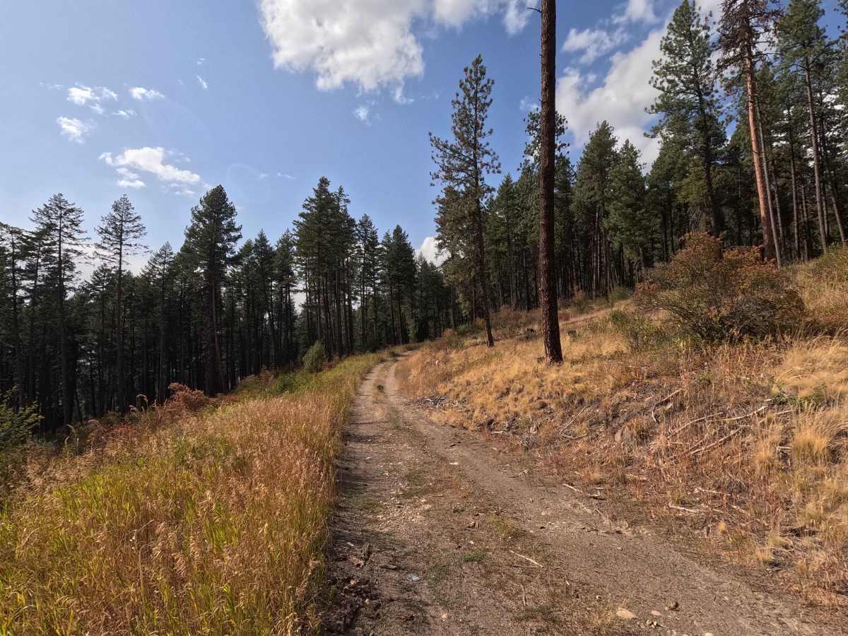
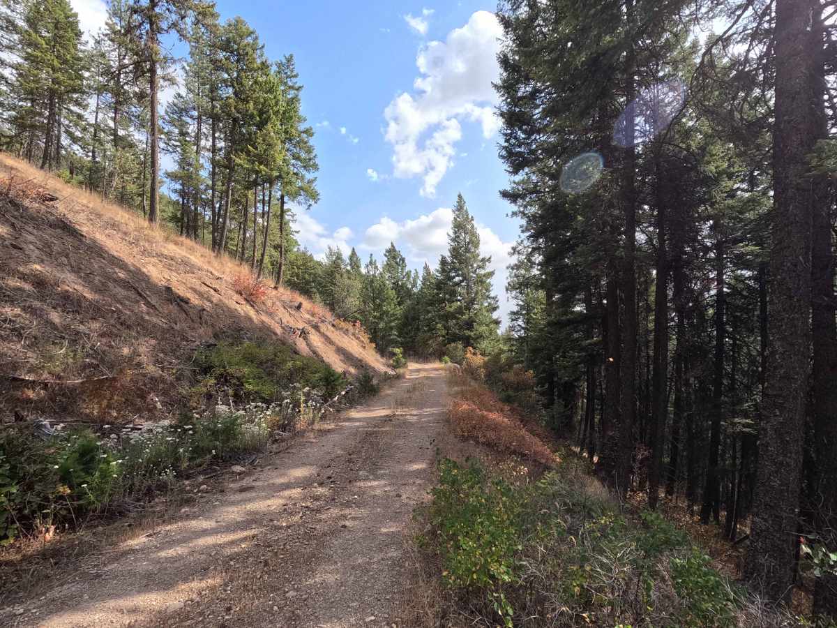
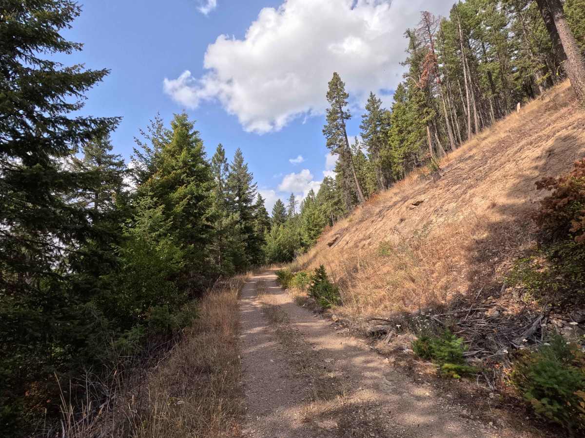
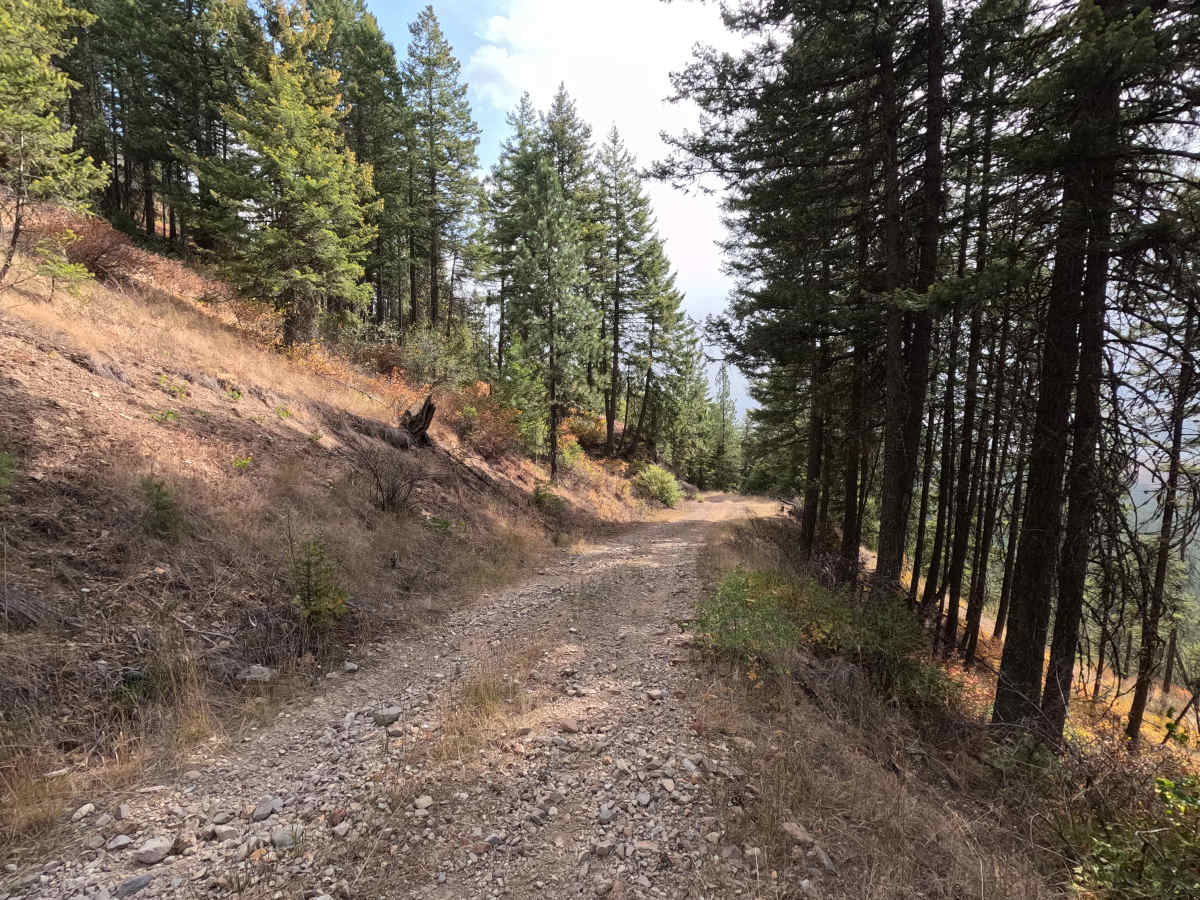
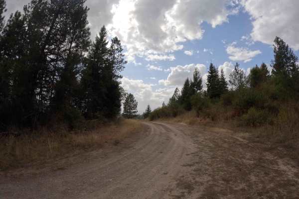
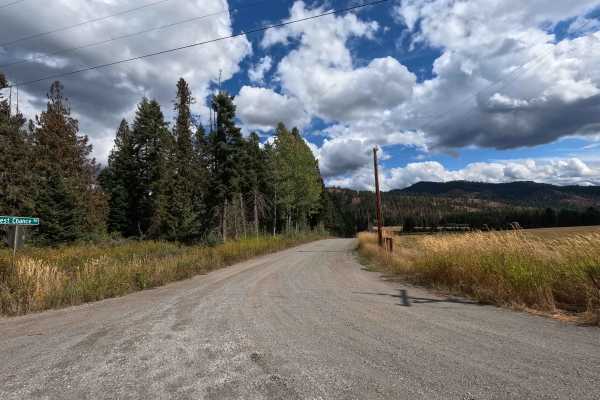
FS 5000020 is a 2.7-mile out-and-back route open to street-legal vehicles. The route crosses both Colville National Forest and Washington Department of Natural Resources lands, following a narrow, single-lane dirt road as it climbs into the surrounding mountains. Higher along the route, the road transitions into a narrow shelf road with occasional views of the Pend Oreille River. Vegetation becomes increasingly dense toward the end, and drivers should expect pinstriping. The mapped route ends at a small, nondescript turnaround. The road continues beyond this point but is considered closed to motorized travel. A Discover Pass is required when recreating on Department of Natural Resources-managed portions of the route.
Difficulty
FS 5000020 is rated easy. Although most of the route is relatively straightforward, a steep section with loose material and offset holes can challenge 2WD vehicles, particularly those with open differentials. The narrow shelf road and increasing brush encroachment also require careful vehicle placement. A high-clearance 4WD vehicle is recommended.