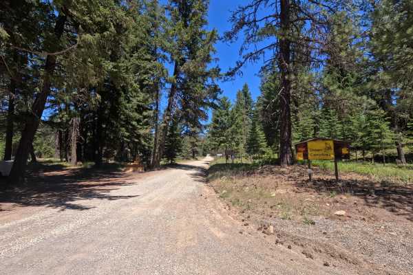
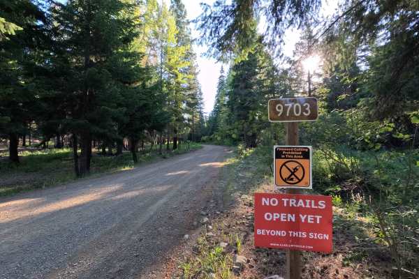
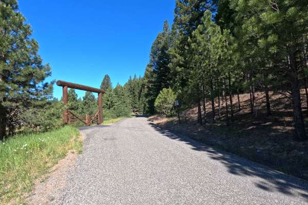
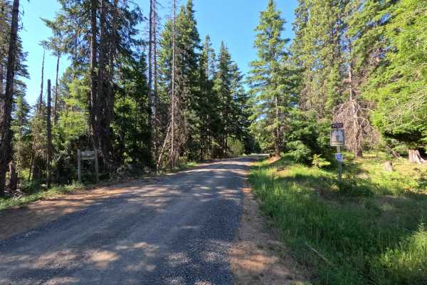
Trail Overview
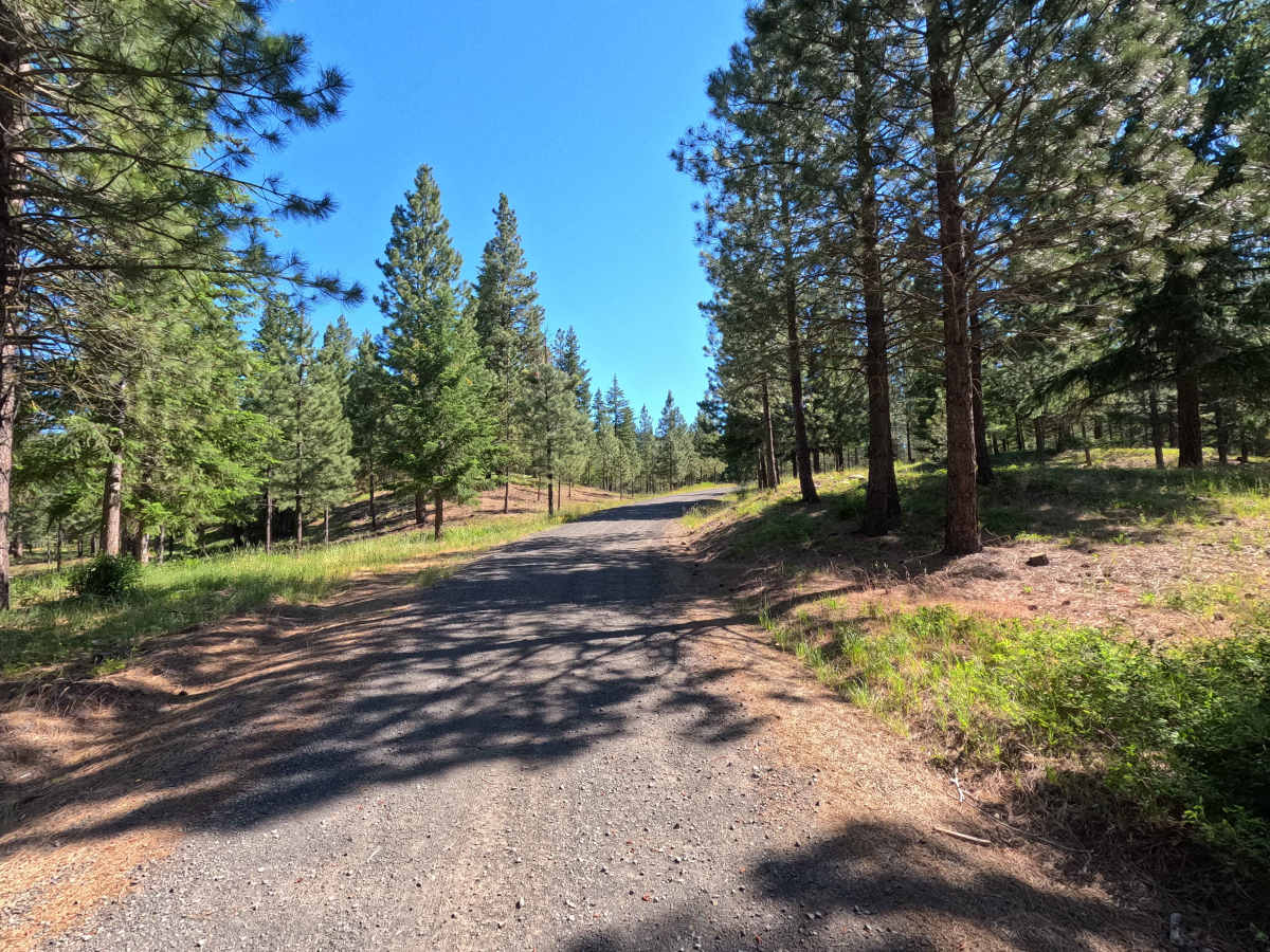
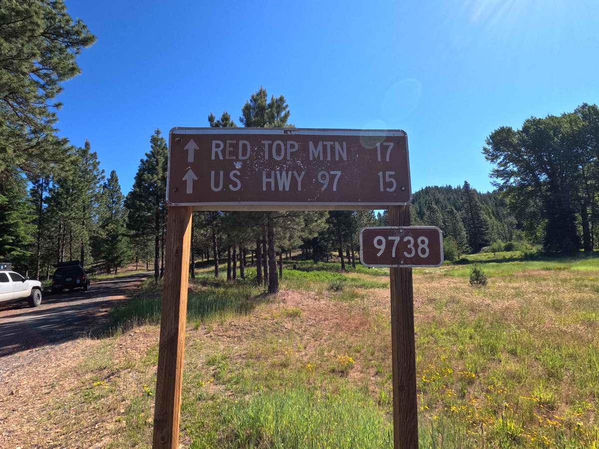
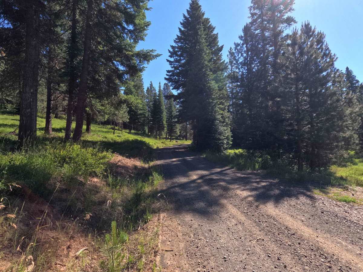
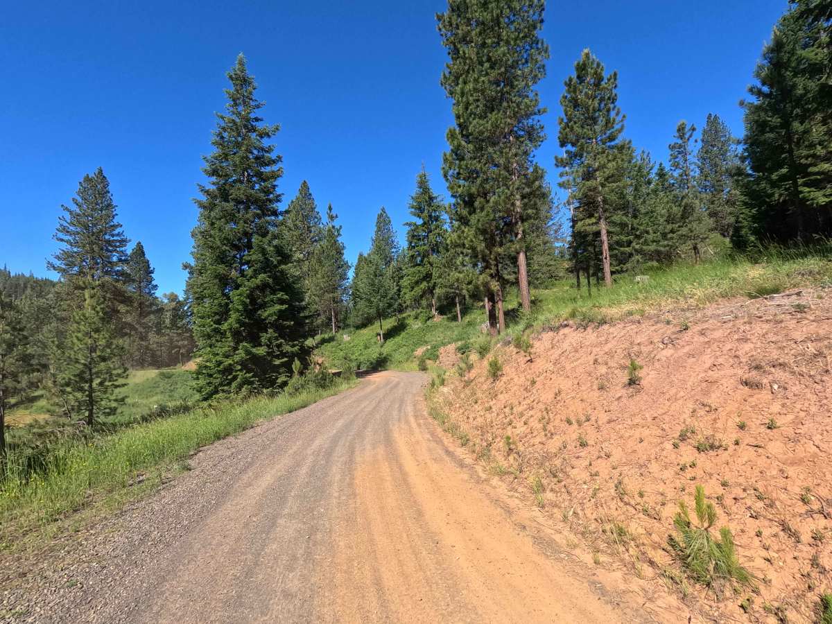
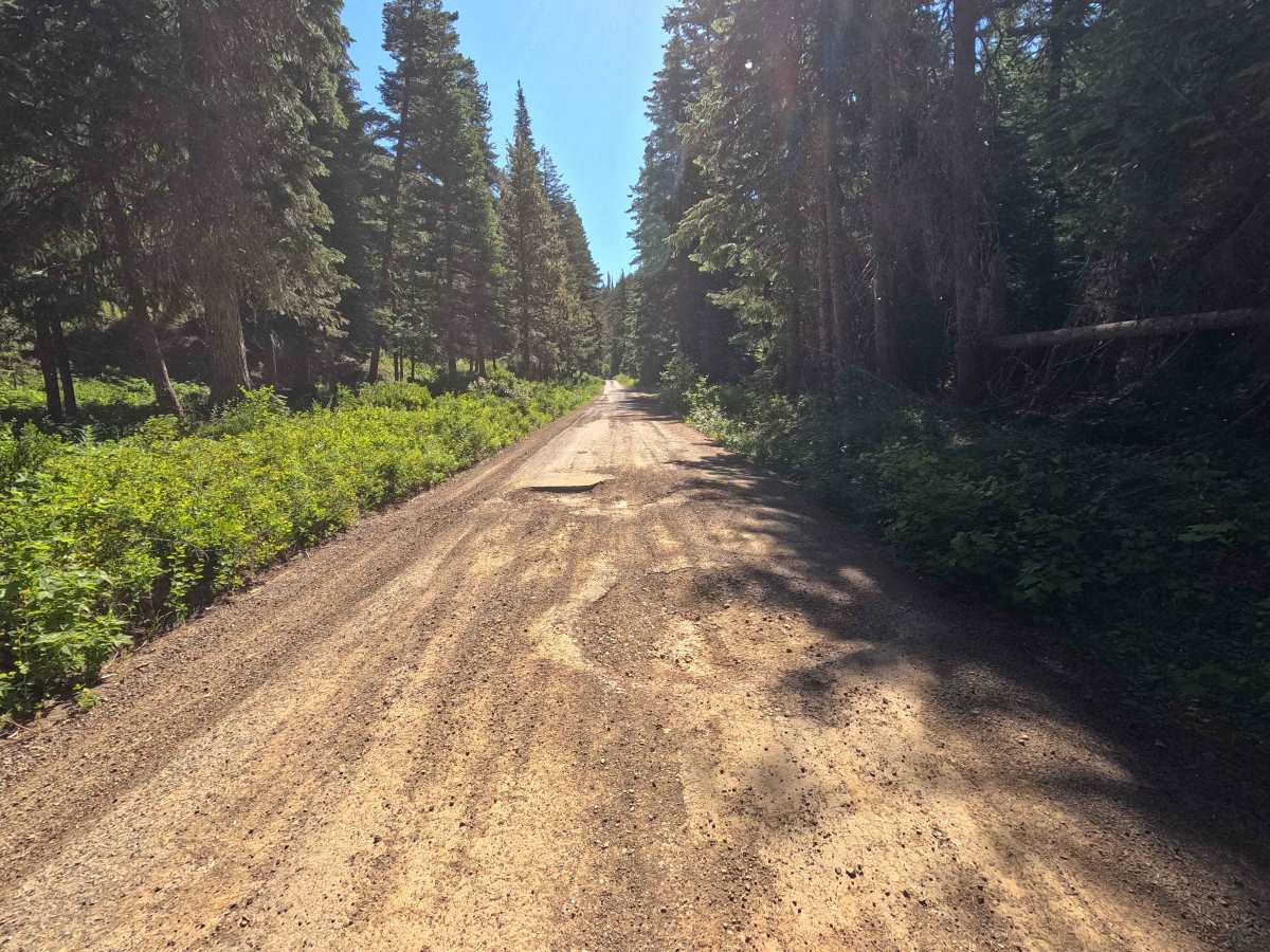
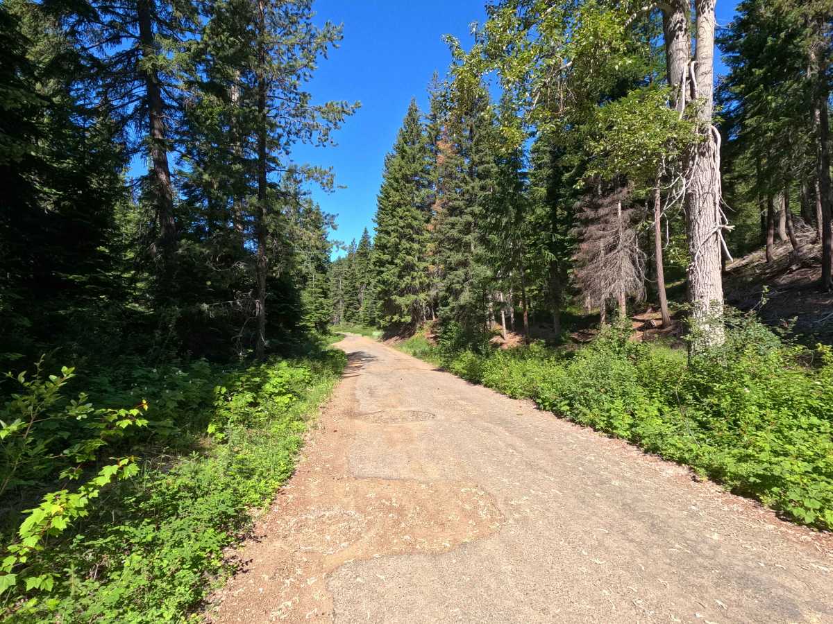
Jack Creek Road is an 8.4-mile point-to-point route that follows Jack Creek through a mix of Teanaway Community Forest and Okanogan-Wenatchee National Forest lands. The route begins as a well-maintained single-lane gravel road with occasional potholes and washboarding before transitioning into sections of rough, heavily deteriorated pavement. Drivers should watch for large, sudden potholes hidden within the broken pavement, particularly at higher speeds. Several shelf road sections provide views of the surrounding foothills and valleys as the route climbs through the mountains. Jack Creek ends in the middle of a hairpin turn, where the road transitions into Blue Creek Road. Jack Creek Road is listed as a three-season access trail for both motorized and non-motorized travel.
Difficulty
Jack Creek is generally an easy route, though drivers should be prepared for changing road conditions. The primary challenges are the large, sudden potholes that can be deep and fill the entire road. Shelf road sections may feel exposed in places, but the road remains wide enough for most vehicles. Most passenger vehicles can complete the route in dry conditions, though caution is advised where pavement damage is most severe. As with most forest roads, conditions can change following storms, spring runoff, or seasonal maintenance activities.