Trail Overview
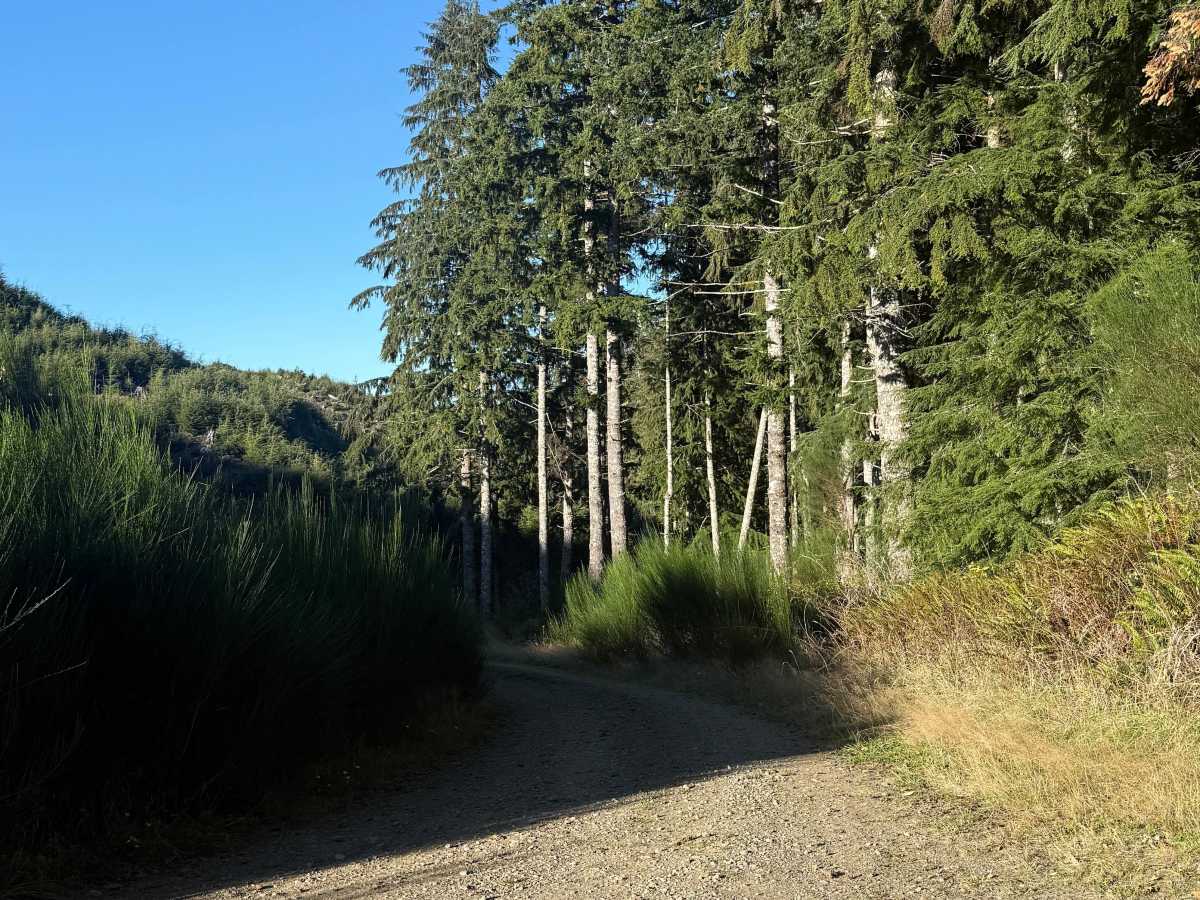
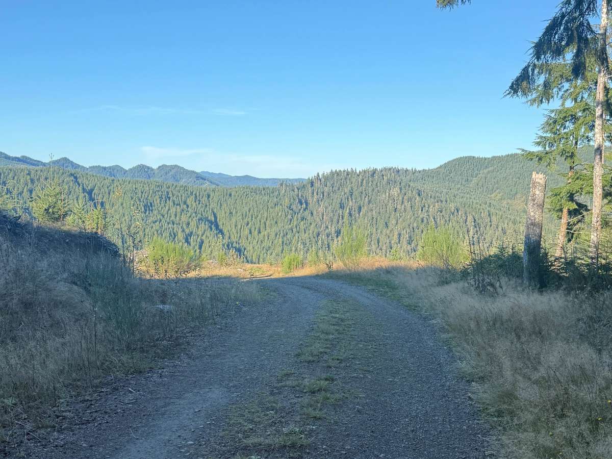
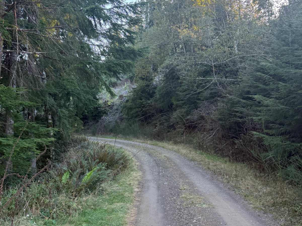
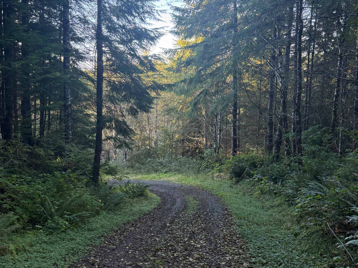
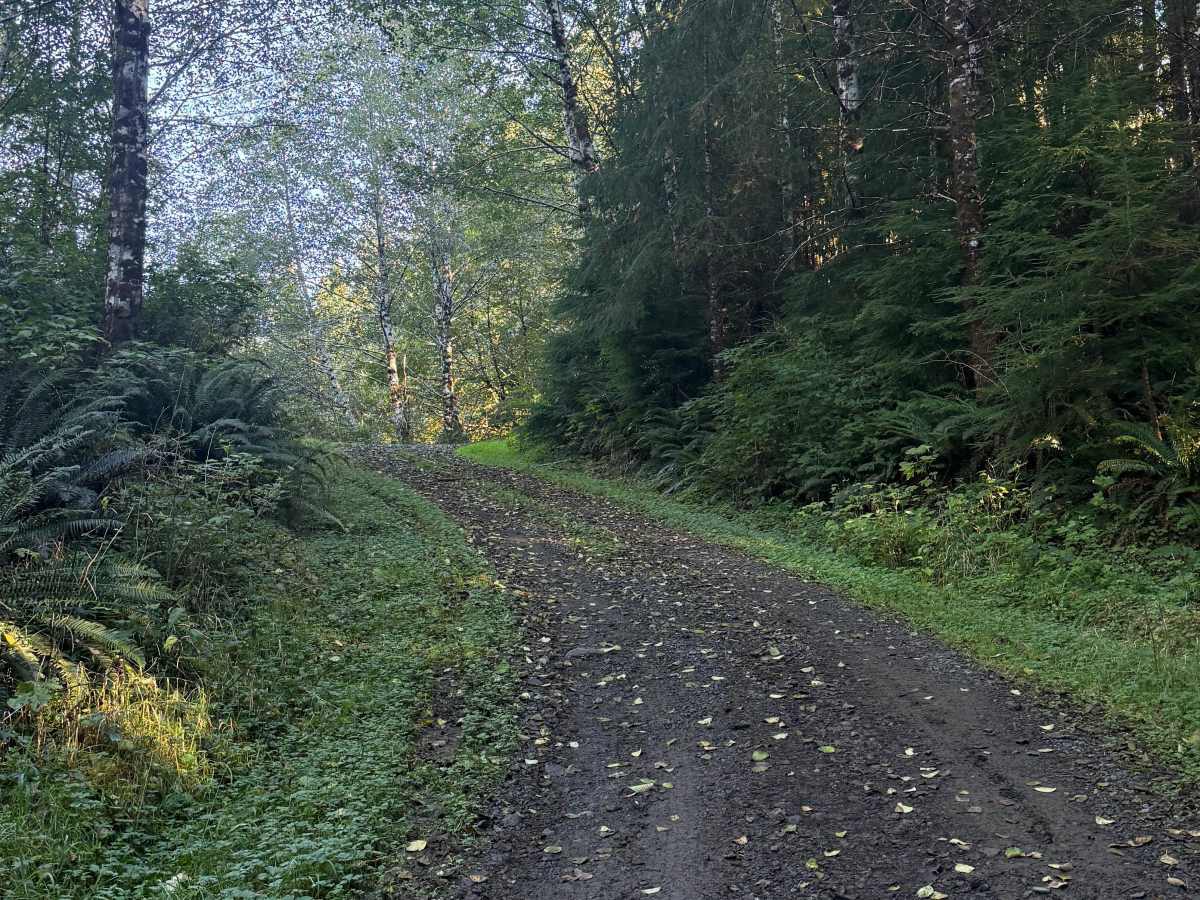
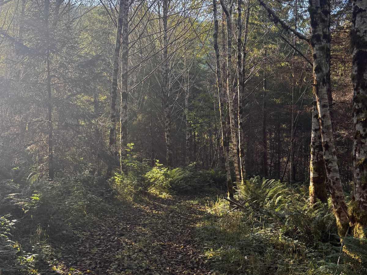
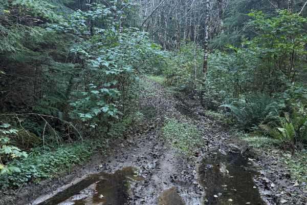
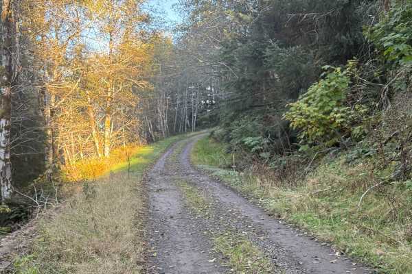
FRF-1200 is an easy, winding forest road with approximately 637 feet of elevation loss along the route. The surface consists primarily of firm hardpack dirt, providing straightforward riding conditions with no significant technical obstacles for most of the trail. The road gradually descends through the surrounding forest before reaching a more challenging section near its endpoint. Here, two small creek crossings create sharp dips in the roadway that require careful navigation, particularly when wet. These crossings are located within approximately 50 yards of the trail's end, making them unnecessary for riders who simply want to explore the main route. Beyond the crossings, the road terminates directly at a river, where vehicle travel ends. Motorized access is subject to posted restrictions, with street-legal vehicles, including plated motorcycles, appropriate when public access is permitted.
Difficulty
Most of the route is easy hardpack with no significant obstacles. The two sharply dipping creek crossings near the endpoint introduce steeper entry and exit angles, potential traction loss, and a need for additional ground clearance. Riders can turn around before these crossings to avoid the more challenging section.