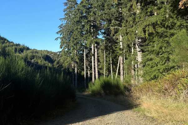
Trail Overview
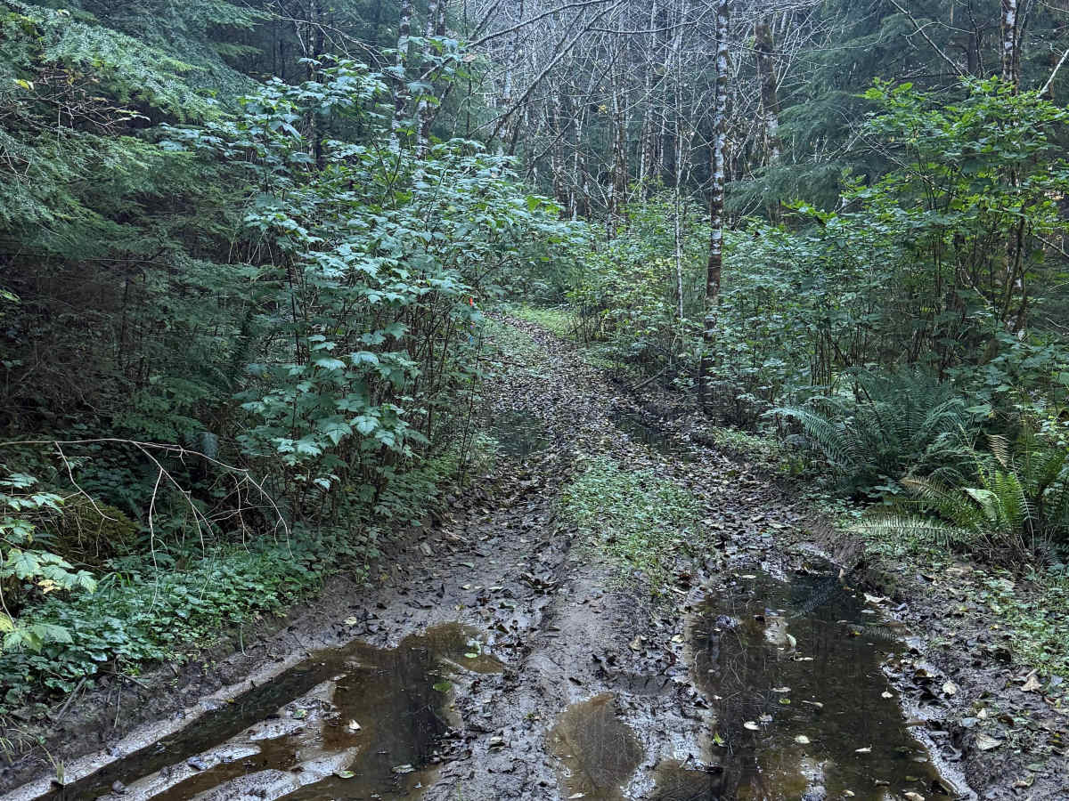
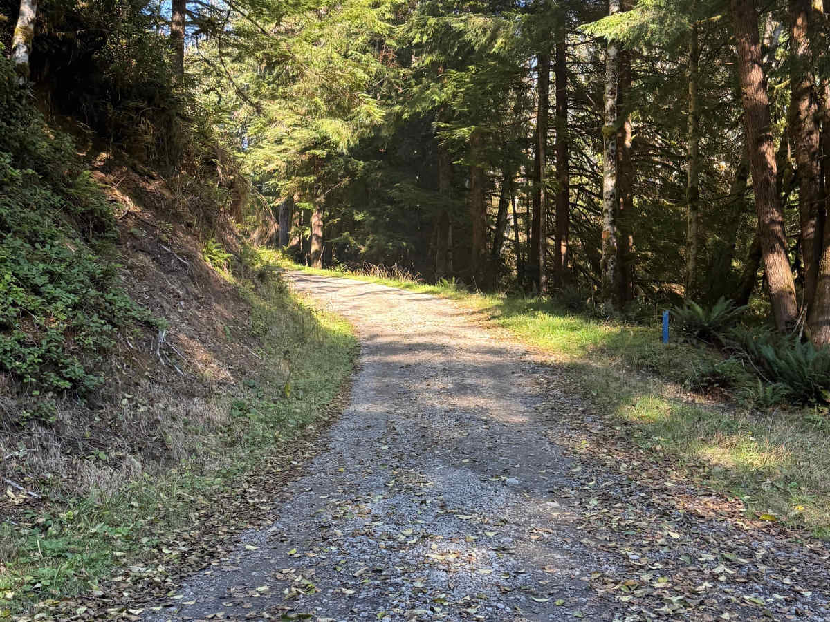
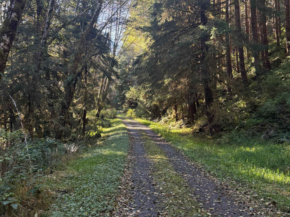
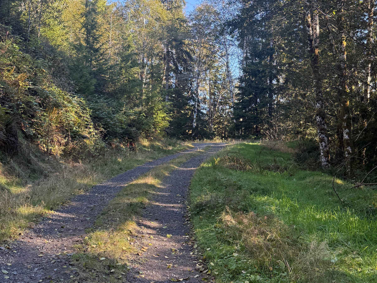
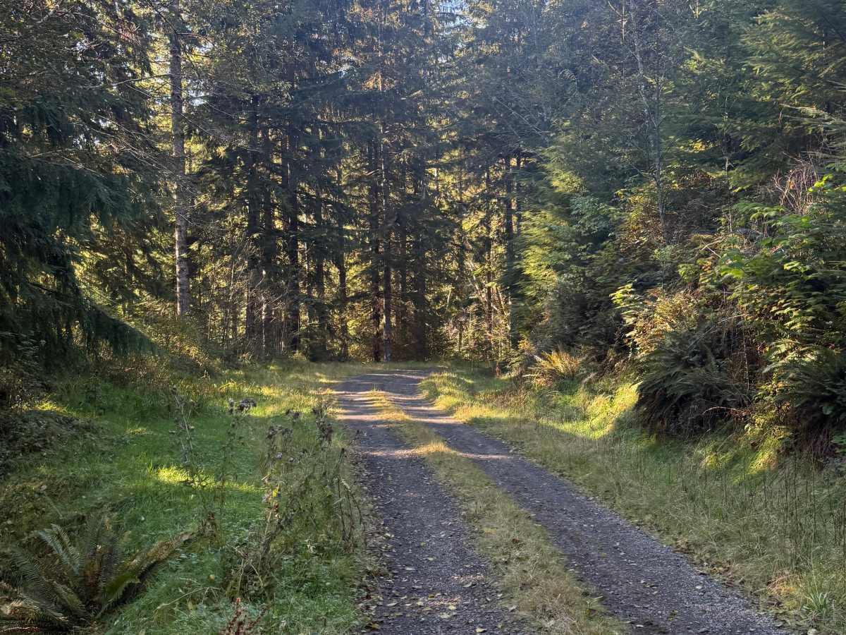
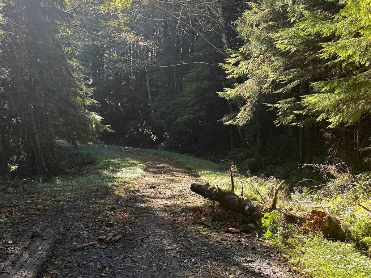
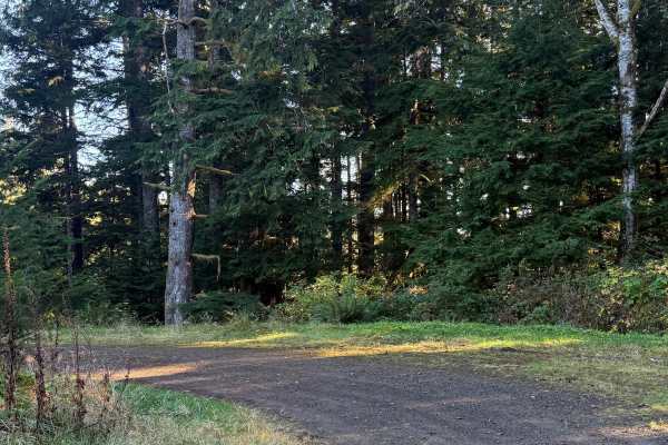
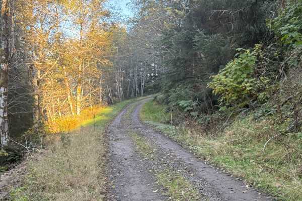
FRF-1100 is an easy, winding forest trail on Washington DNR-managed land with approximately 700 feet of elevation change. The route follows mostly firm hardpack dirt through dense woods, with trees lining both sides of the roadway. A short muddy section provides a minor change in terrain but remains easy to navigate under normal conditions. There are no significant technical obstacles along the maintained portion of the trail. The mapped route ends at a small opening where conditions change dramatically. Beyond this point, severe overgrowth and cliffside obstacles make continued vehicle travel impossible. The remaining route is suitable only for hiking where public access is permitted. Travelers should treat the recorded endpoint as the turnaround rather than attempting to push through the increasingly difficult terrain.