Trail Overview
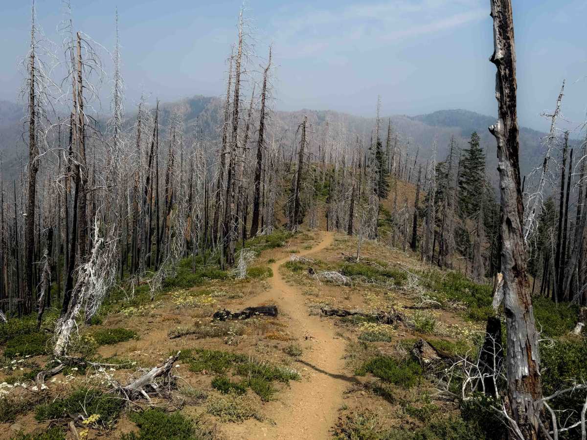
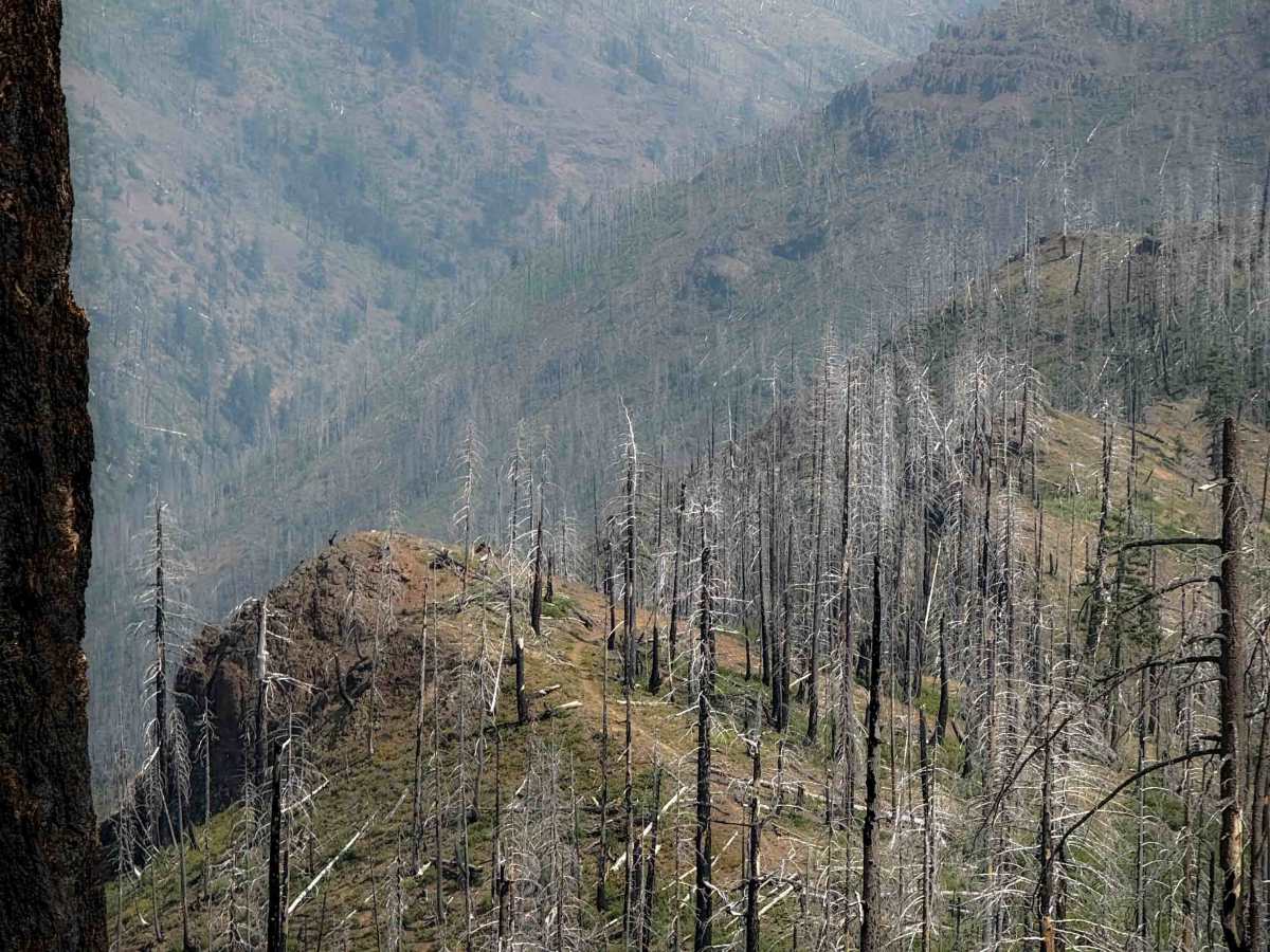
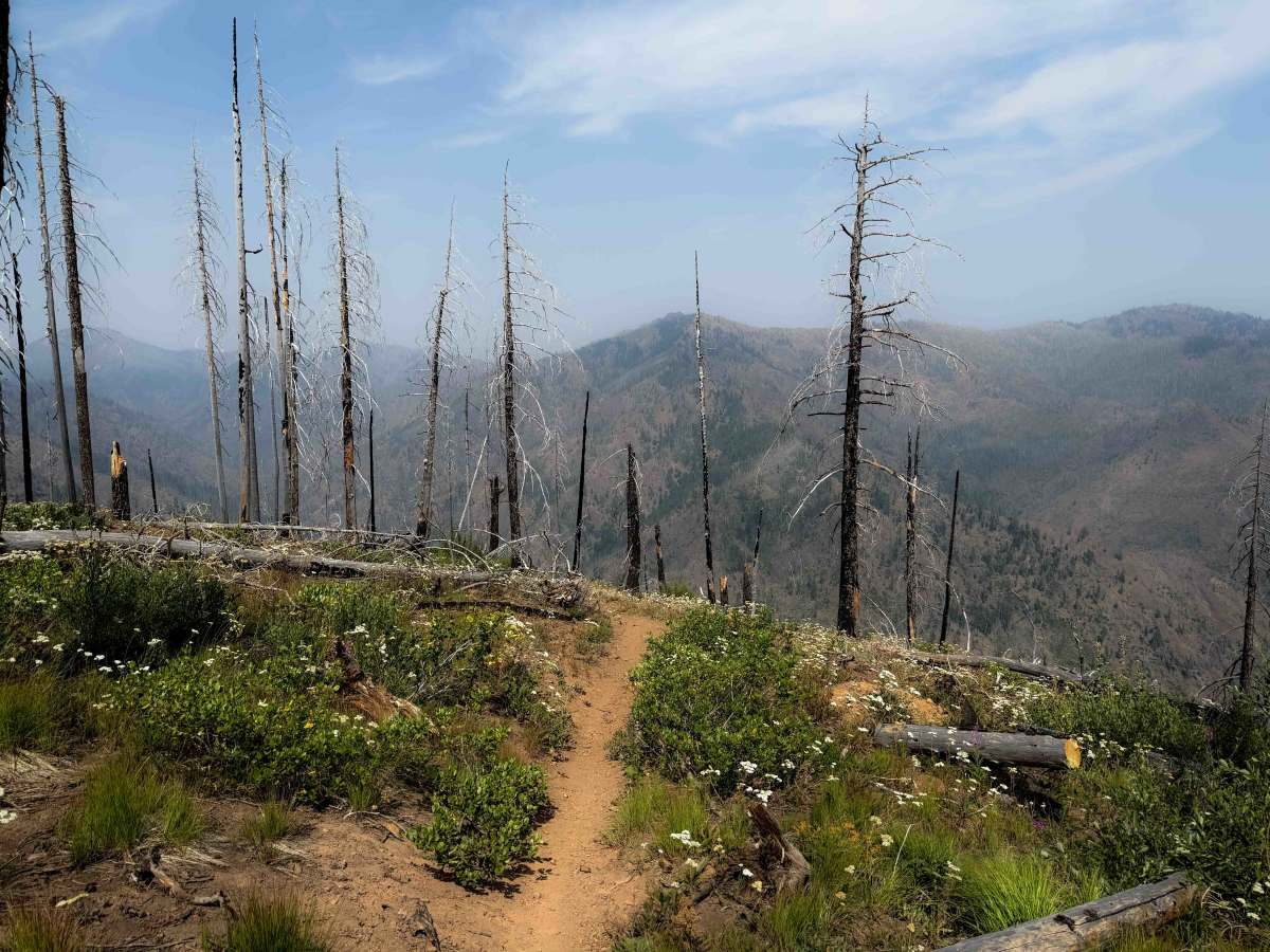
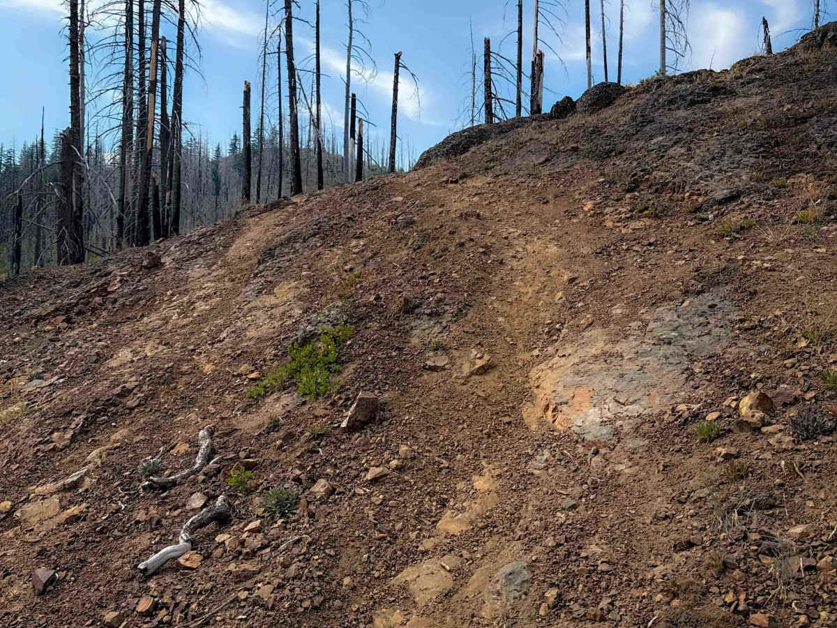
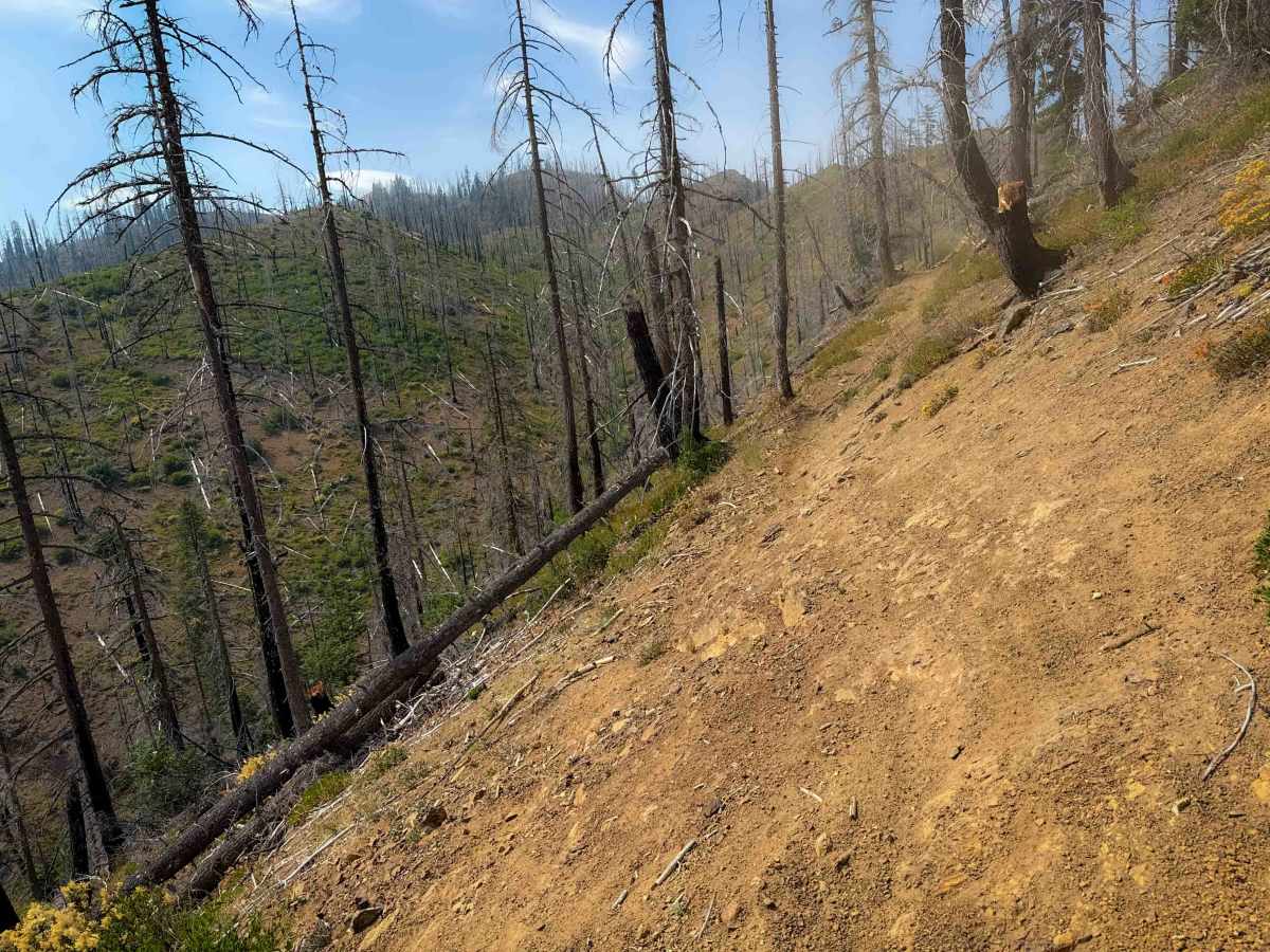
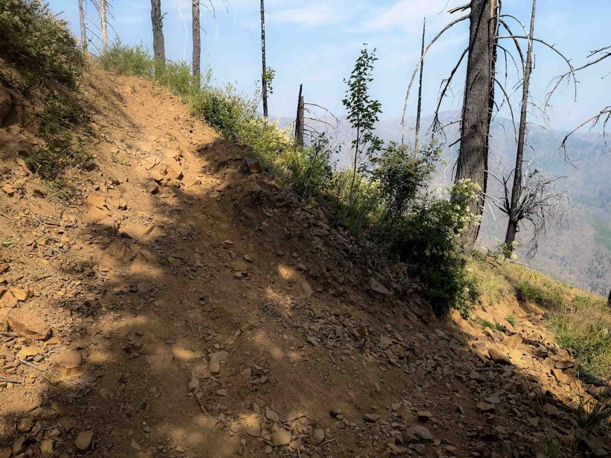
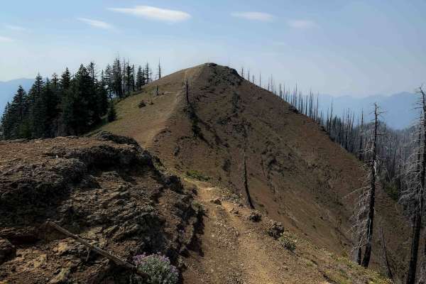
Corral Creek Trail descends from north to south through a burn area, making a loop with the Sasse Mountain Trail. The north end of the trail is narrow, weaving through burned trees and overgrown bushes on a wide open hilltop, and it starts descending down through the hillsides with lots of small loose rock in the trail. Switchbacks take you down some tight and steep turns with loose dirt, loose rock, and moderate exposure. There are several off-camber sections of side-hilling with exposed embedded rock layers and small stair-step moves on the ridgeline in the north half of the trail. The middle of the route becomes more gradual and flowy on the hilltops, before another steep descent in the final segment of trail on the south end. It drops over 2,400 feet in elevation in 3.6 miles. You get several really scenic viewpoints along the trail as it rides along the ridgeline, overlooking the burn area, but with wide open views of the surrounding mountains.
Difficulty
This is an intermediate route due to several steep and tight switchbacks, narrow side-hilling, and exposed off-camber rock layers, all of which will require elevated skills from more experienced riders. These obstacles occur consistently throughout the route. It is steep and technical all throughout the 3.6 mile route.
Access Description
The single-track motorized trails in the Teanaway drainage are extremely challenging, with narrow paths along cliffs, rocky sections, and steep terrain. Because the area is environmentally fragile, riders are asked to travel in groups of five or fewer and use trials tires instead of knobby rear tires. Please ride responsibly and tread lightly.

 Offroad