Trail Overview
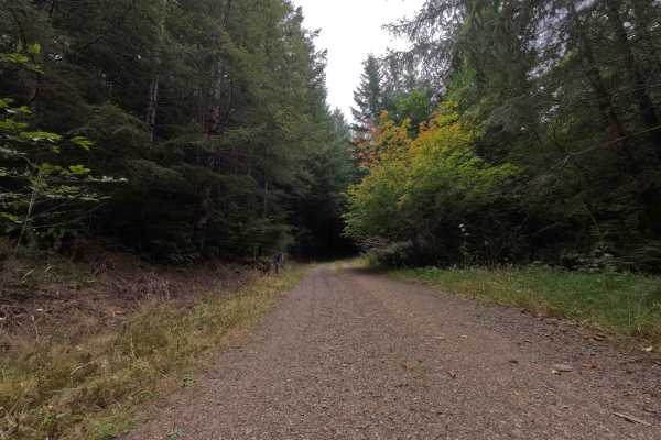
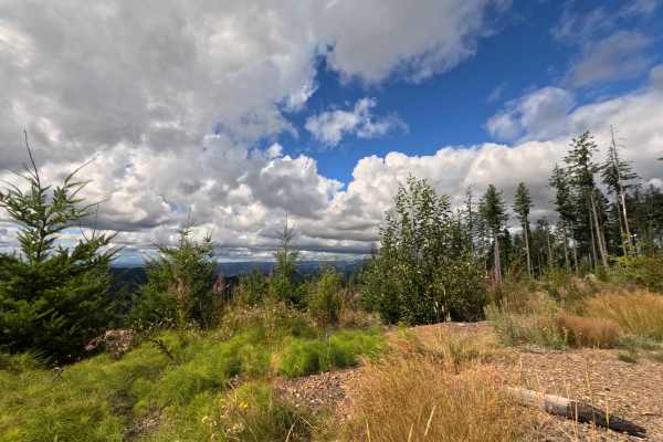
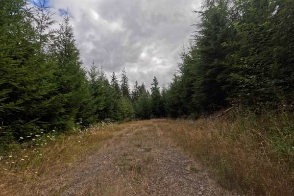
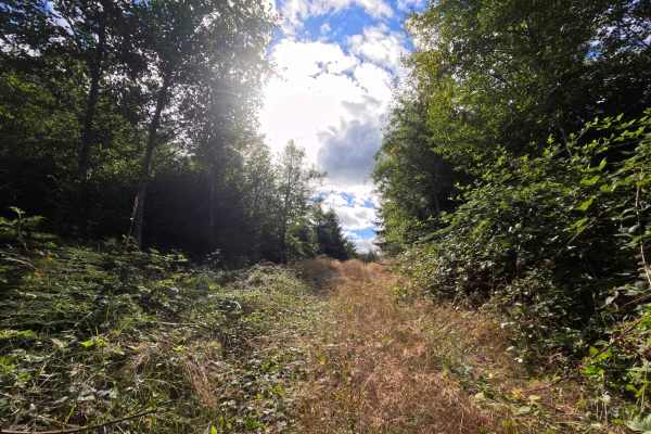
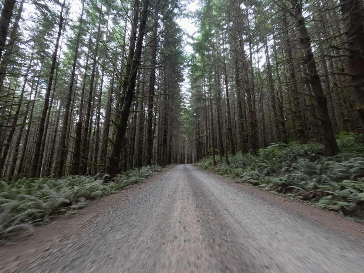
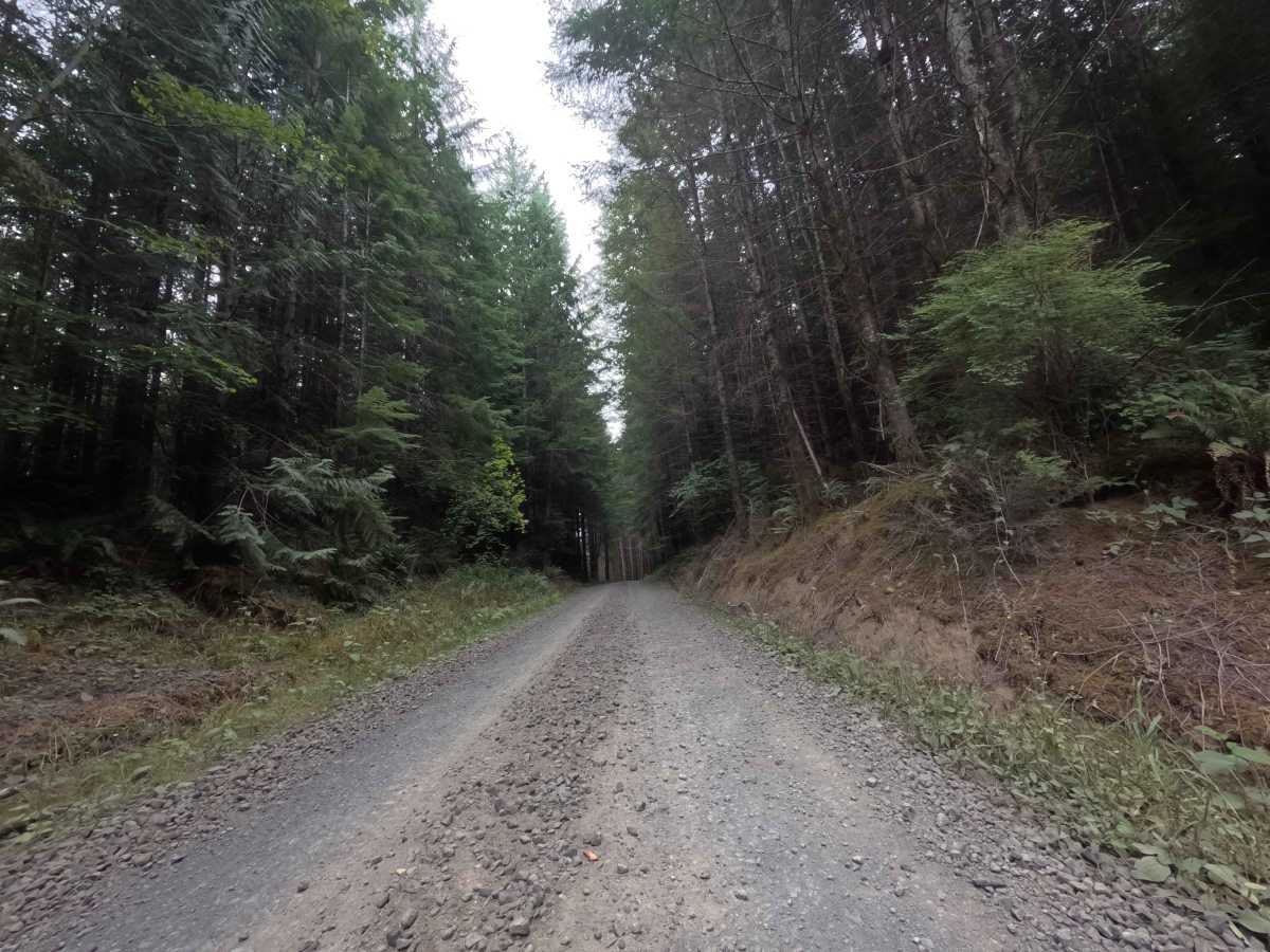
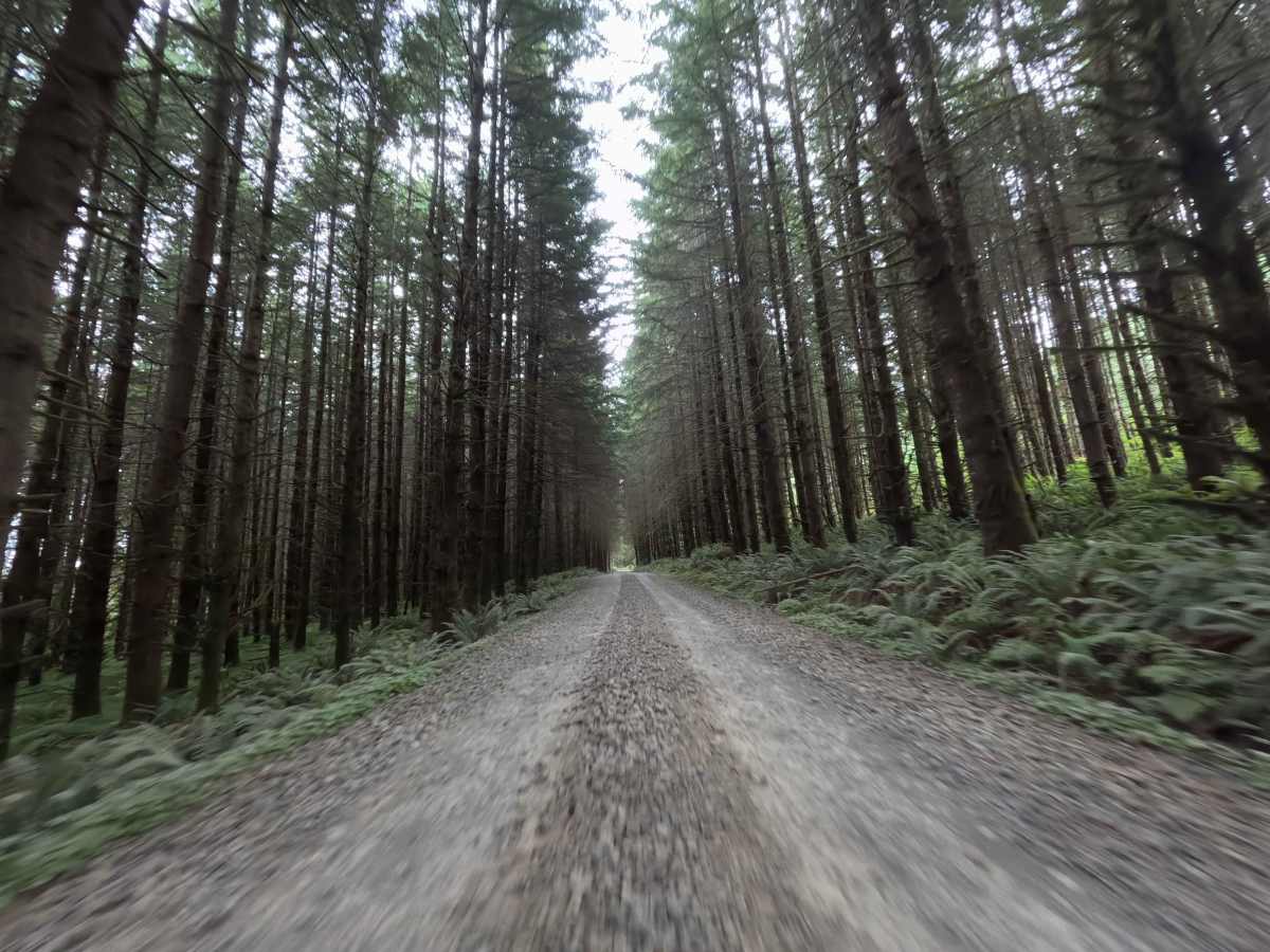
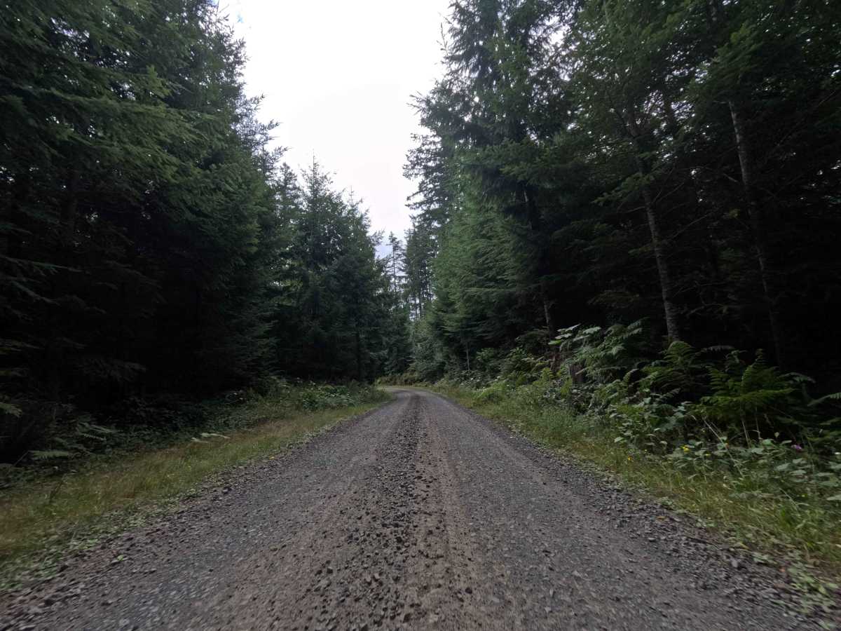
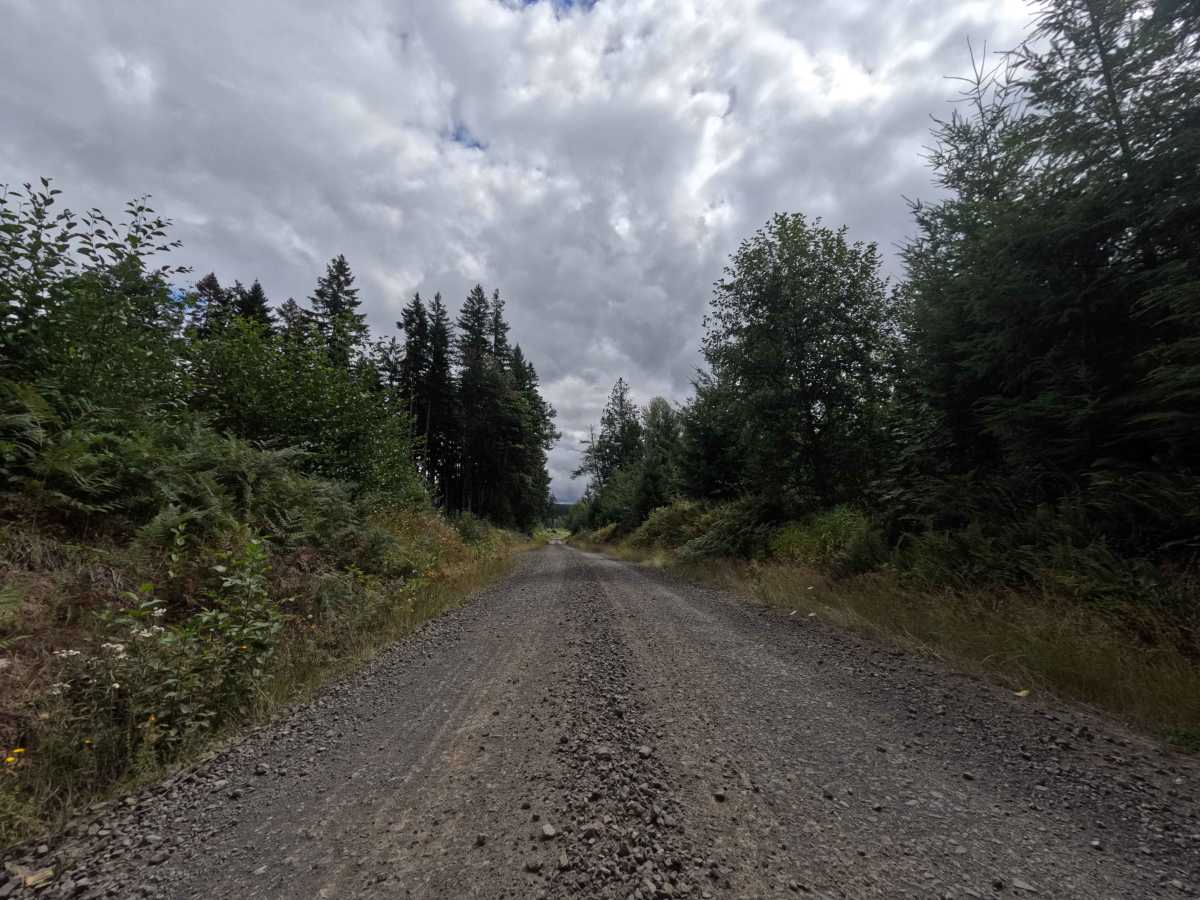
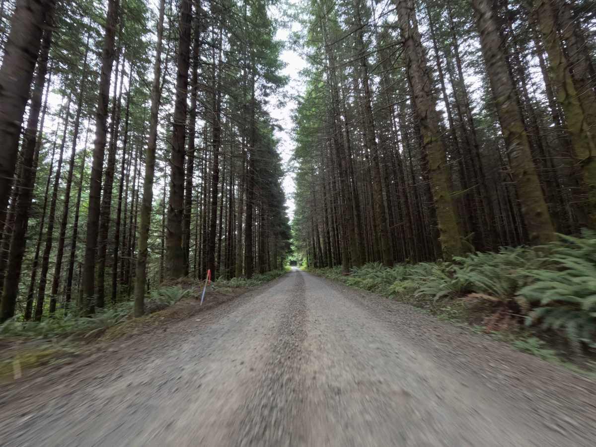
Acting as a critical through-connection traversing private commercial timberlands, Camp Nine Road serves as a major overland artery linking disparate sections of the Washington forest network. Tucked between the W3000 and W541 junctions, this route operates primarily under the ownership of Port Blakely; while there is no gate blocking this specific corridor, drivers will encounter several locked barriers blocking the various side spurs. The environment is a dynamic mix of active logging landscapes, transitioning from heavily shaded, dense evergreen tree lines out into sprawling, sun-baked clear-cuts that are either freshly replanted or slowly being reclaimed by native vegetation. Some of these open offshoots provide stunning, unobstructed views of the surrounding mountains stretching to the north and northeast. Because it runs through privately managed timberland, strict regulations apply: there are "No Camping" signs posted and fires are strictly prohibited along the entire route.
Difficulty
Earning a level 2 difficulty rating, this well-maintained commercial logging road provides a largely straightforward and high-quality drive. The wide, packed dirt and crushed gravel surface is designed to support heavy equipment, meaning it remains reliably firm without the presence of deep ruts, off-camber washouts, or technical rock obstacles. The grade variations are generally mild and easily managed by most vehicles. The primary challenge comes from maintaining situational awareness: because this is an active commercial zone, drivers must remain vigilant for logging truck traffic and utilize the shoulders to yield safely.

 Offroad