Trail Overview
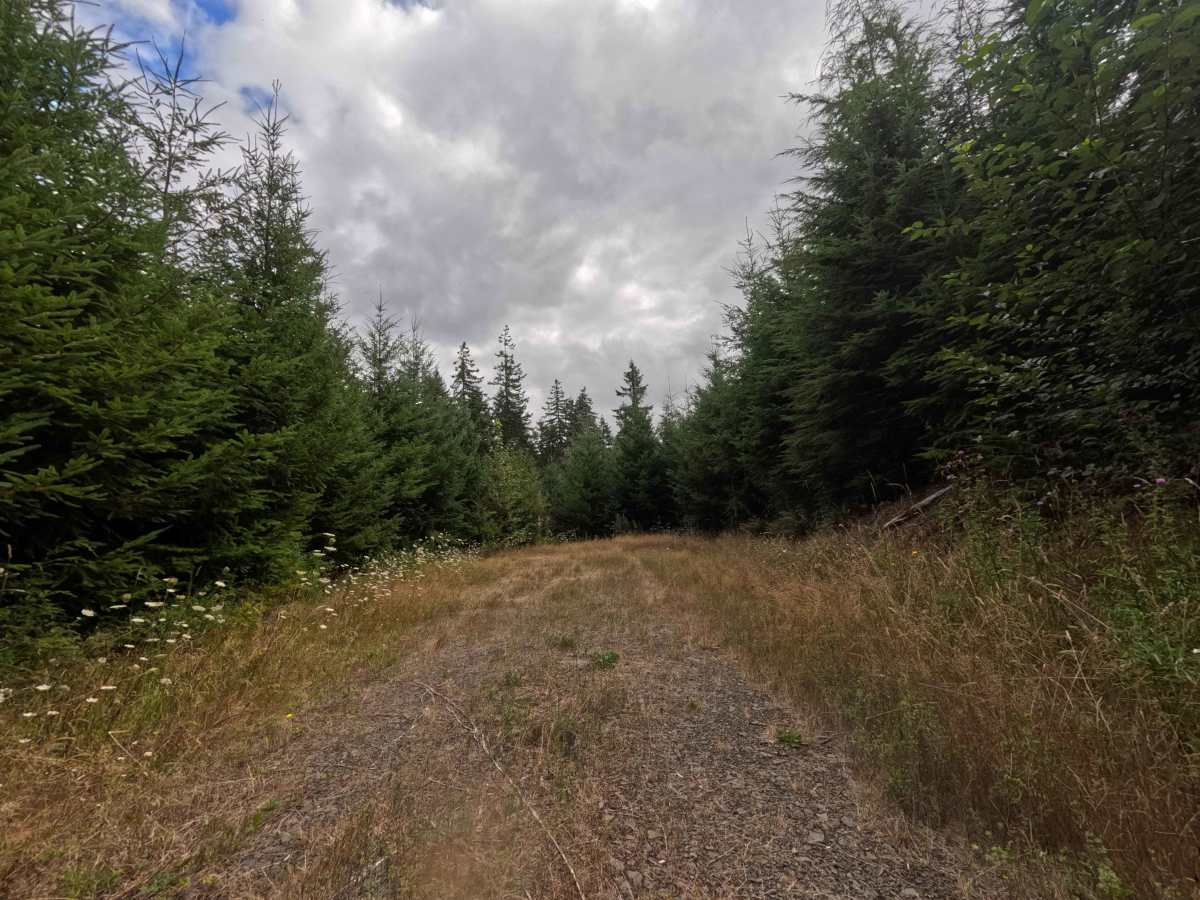
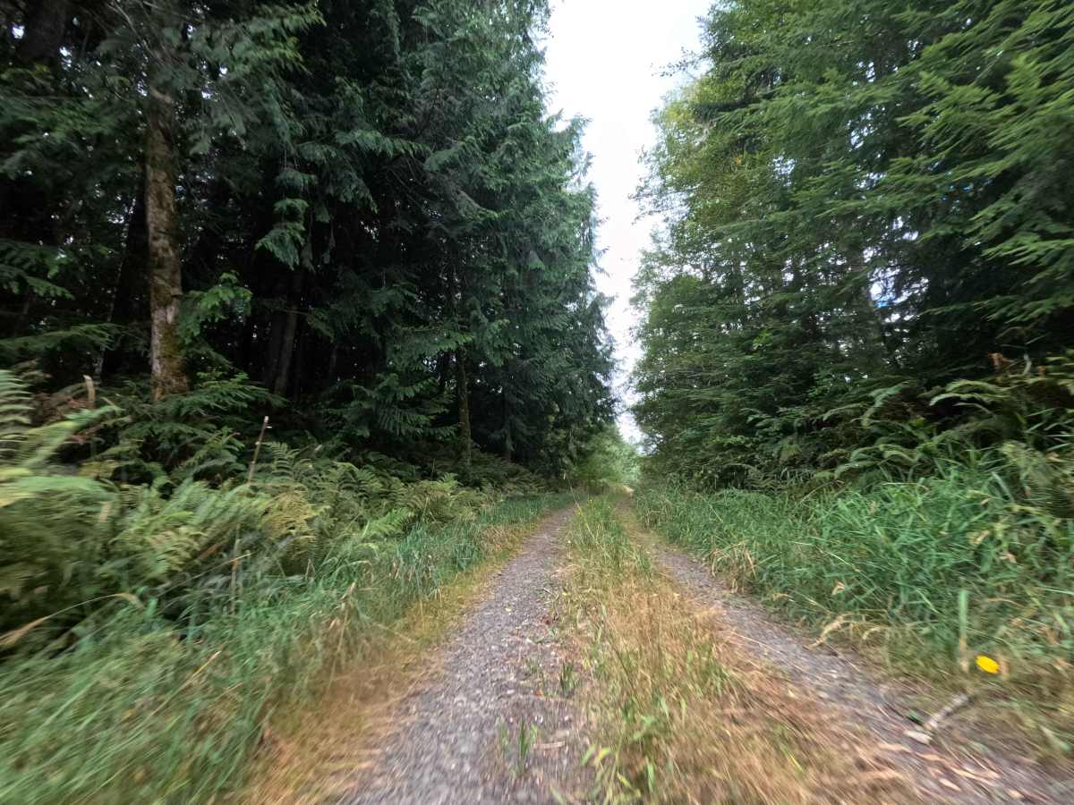
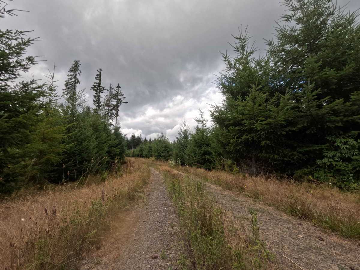
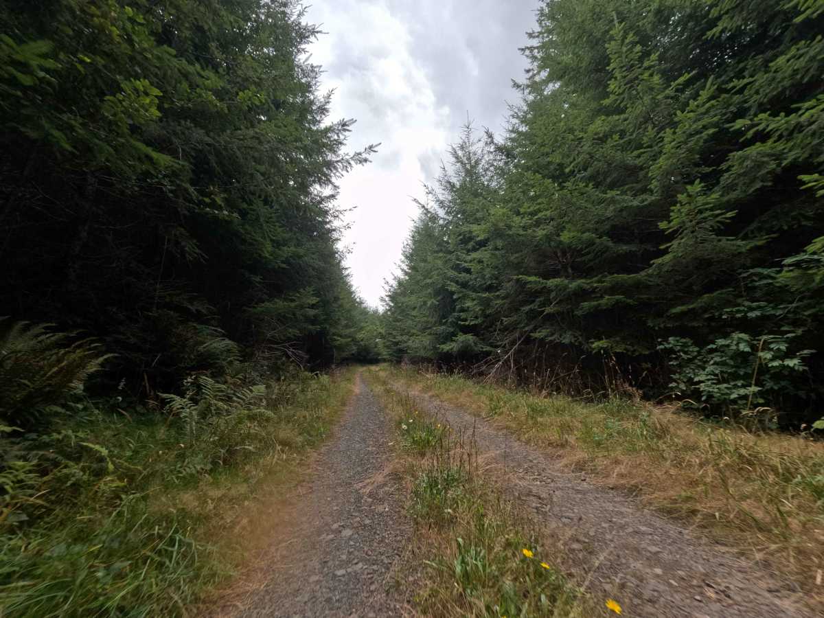
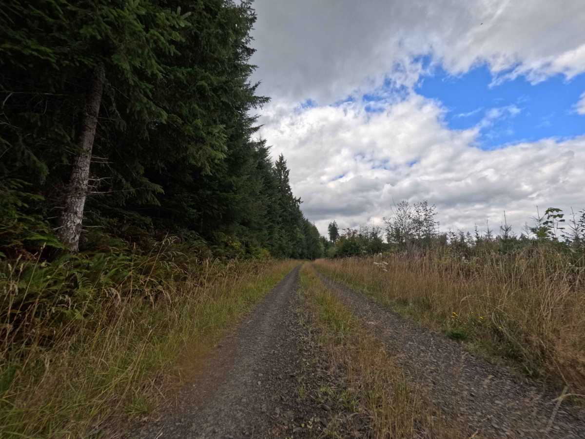
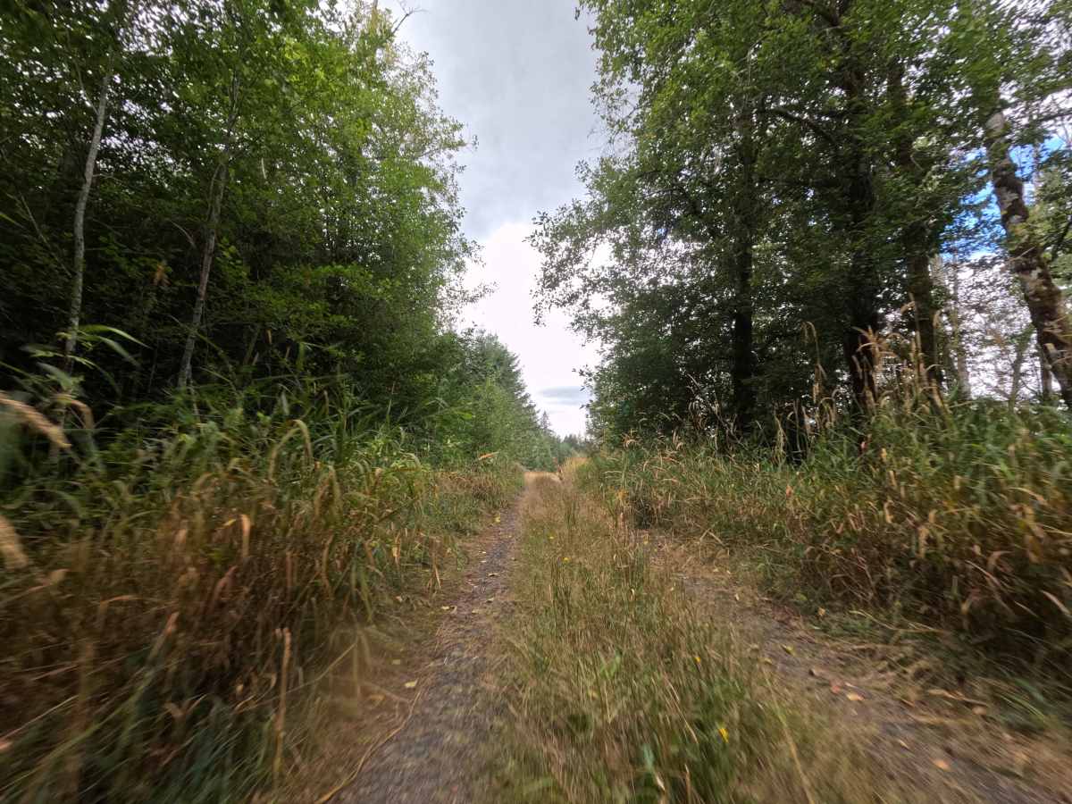
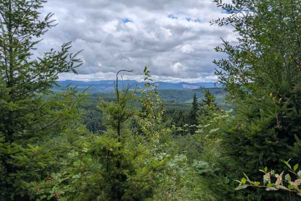
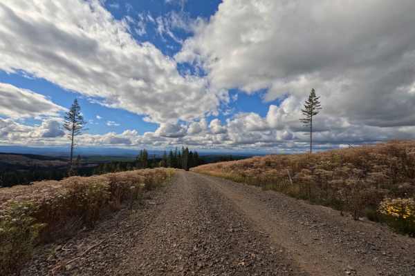
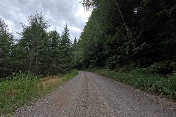
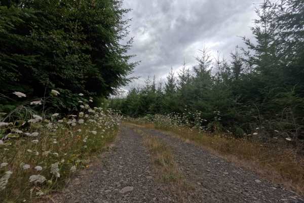
Branching off Camp Nine Road, the W-541 operates as a brief, out-and-back dirt offshoot pushing into the deep timber of the surrounding National Forest. This scenic, dead-end track winds through a lush, vibrant evergreen woodland characterized by a mix of mature old-growth trees and dense, new-growth vegetation crowding the shoulders. Earning an easy level 2 difficulty rating, the narrow two-track lane is primarily utilized by outdoor enthusiasts seeking a secluded spot away from the main logging traffic. The route ends in a fantastic, wide-open clearing that serves as a perfect central location for staging a hunting camp or pitching a tent for the weekend.
Difficulty
Holding a level 2 rating, this short spur provides a generally smooth drive that requires only a bit of extra attention to the trail conditions. The packed dirt and gravel roadbed is largely flat and in great shape, meaning drivers won't have to battle deep ruts, steep off-camber washouts, or technical rock obstacles. Undercarriage clearance is rarely an issue here. The primary challenge stems from the dense, overgrown vegetation crowding the narrow corridor; while the brush is entirely manageable during the spring and fall, drivers should expect light foliage to graze the sides of their vehicle when pushing through the tighter pockets of new growth. The large clearing at the trail's end ensures an incredibly easy turnaround.