Trail Overview
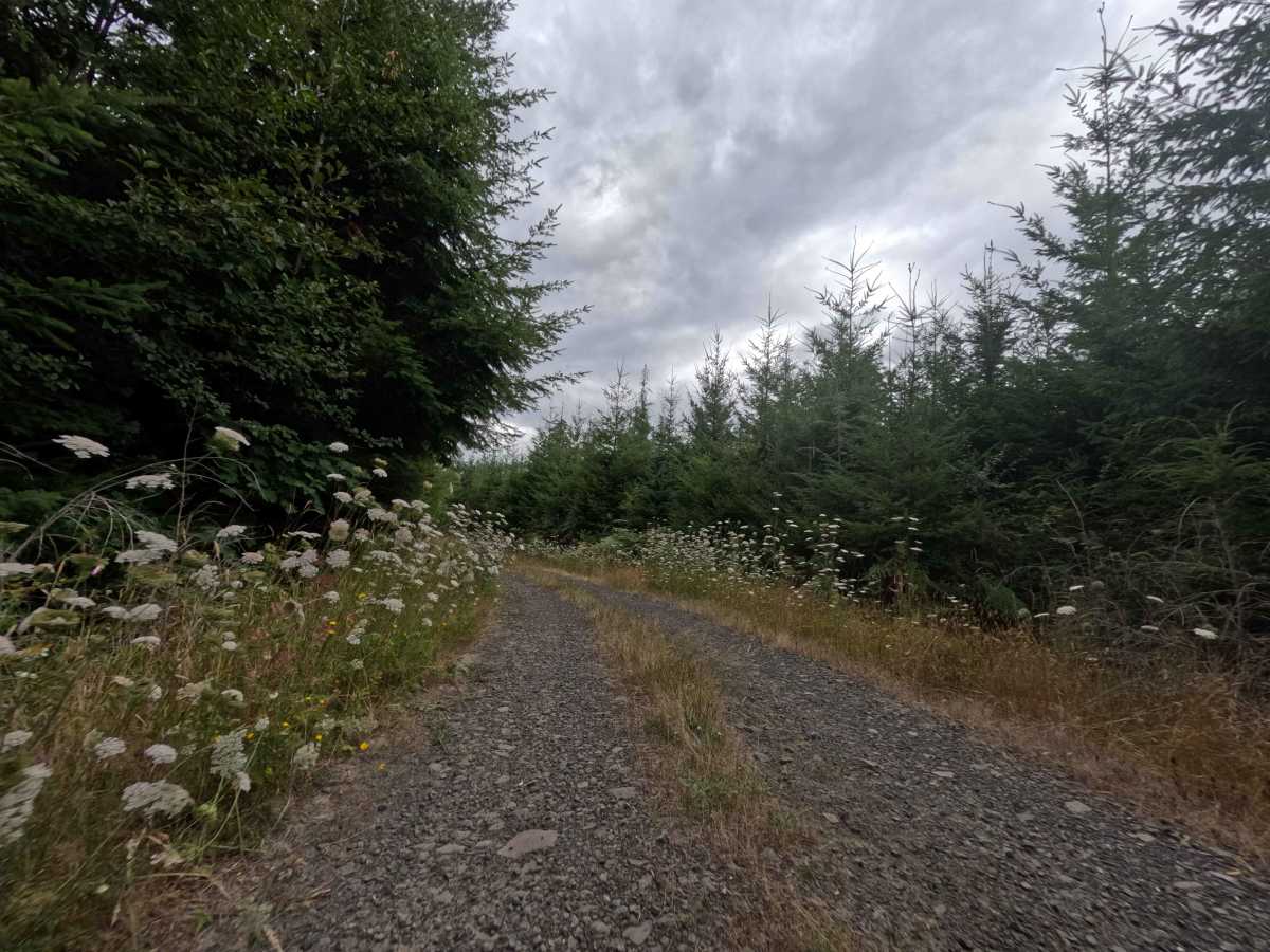
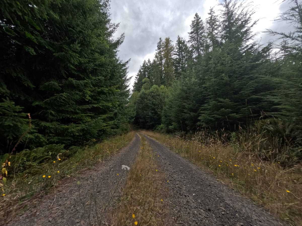
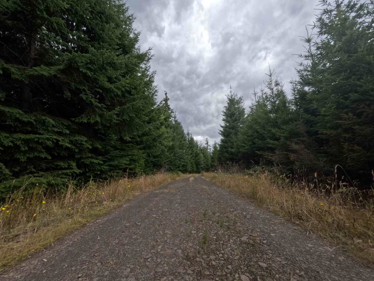
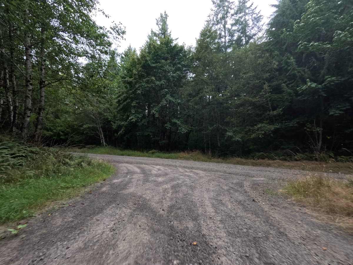
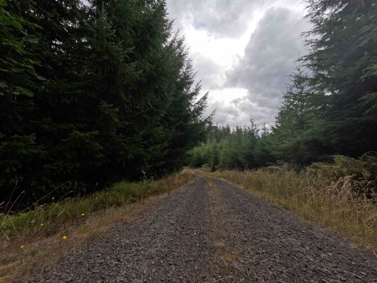
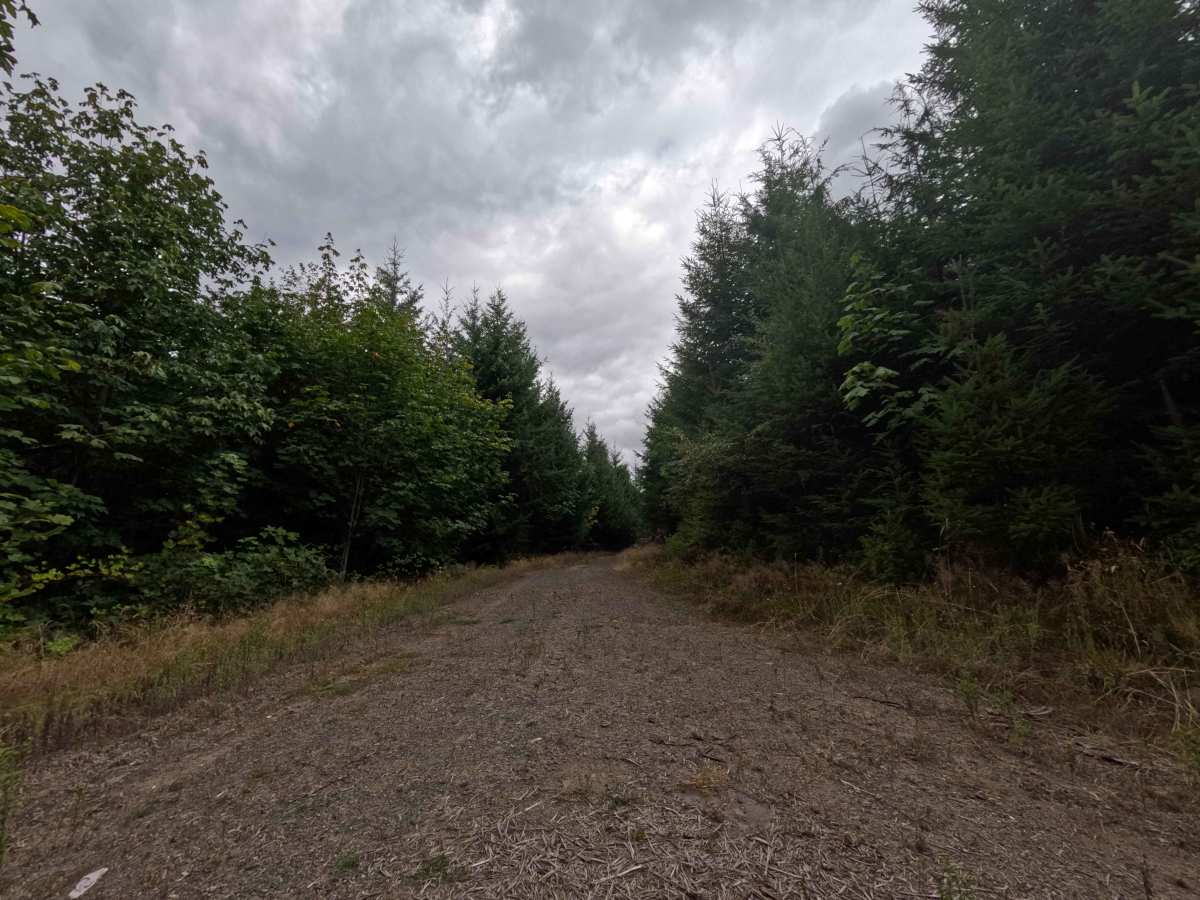
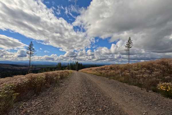
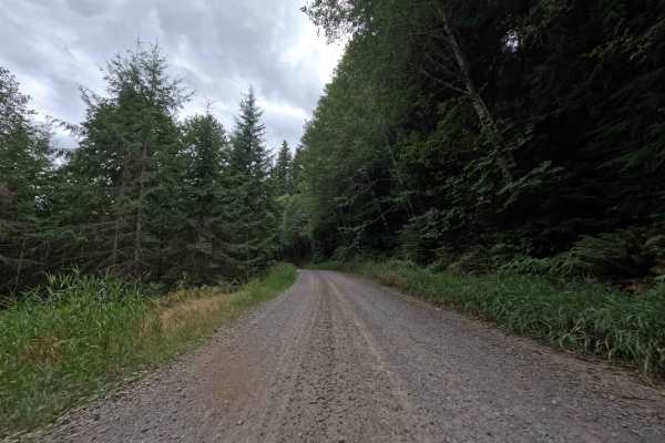
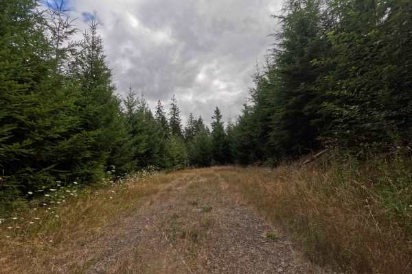
Branching off the primary forestry network, W-558 operates as a short, out-and-back dirt spur pushing uphill into the dense Washington backcountry. The route steadily climbs through a vibrant, lush evergreen landscape within the National Forest, shaded by towering pines and lined with thick seasonal wildflowers and tall grasses. Earning a difficulty rating of 3, the gravel and dirt track is generally solid but requires navigating a notable series of large, jarring potholes scattered across the roadbed. Outdoor recreationists frequent this secluded offshoot to access a massive, open clearing at the dead-end terminus, which serves as a prime location to stage a hunting basecamp or set up a multi-vehicle dispersed camping footprint. Along the brief 0.7-mile ascent, travelers will also spot a couple of smaller, inviting pull-outs perfect for a solitary night in the woods.
Difficulty
Rated as a level 3, this brief spur requires a slow and methodical driving approach due to the deteriorating surface conditions. While the dirt and crushed rock base provides reliable traction, the roadbed is heavily pockmarked with deep, wide potholes. Successfully reaching the dead-end camp clearing means keeping speeds low and carefully picking lines around the deepest craters to prevent front bumpers from diving or undercarriages from bottoming out. The steady uphill grade is mild, so maintaining ground clearance through the rutted depressions remains the sole focus for a smooth transit.

 Offroad