Trail Overview
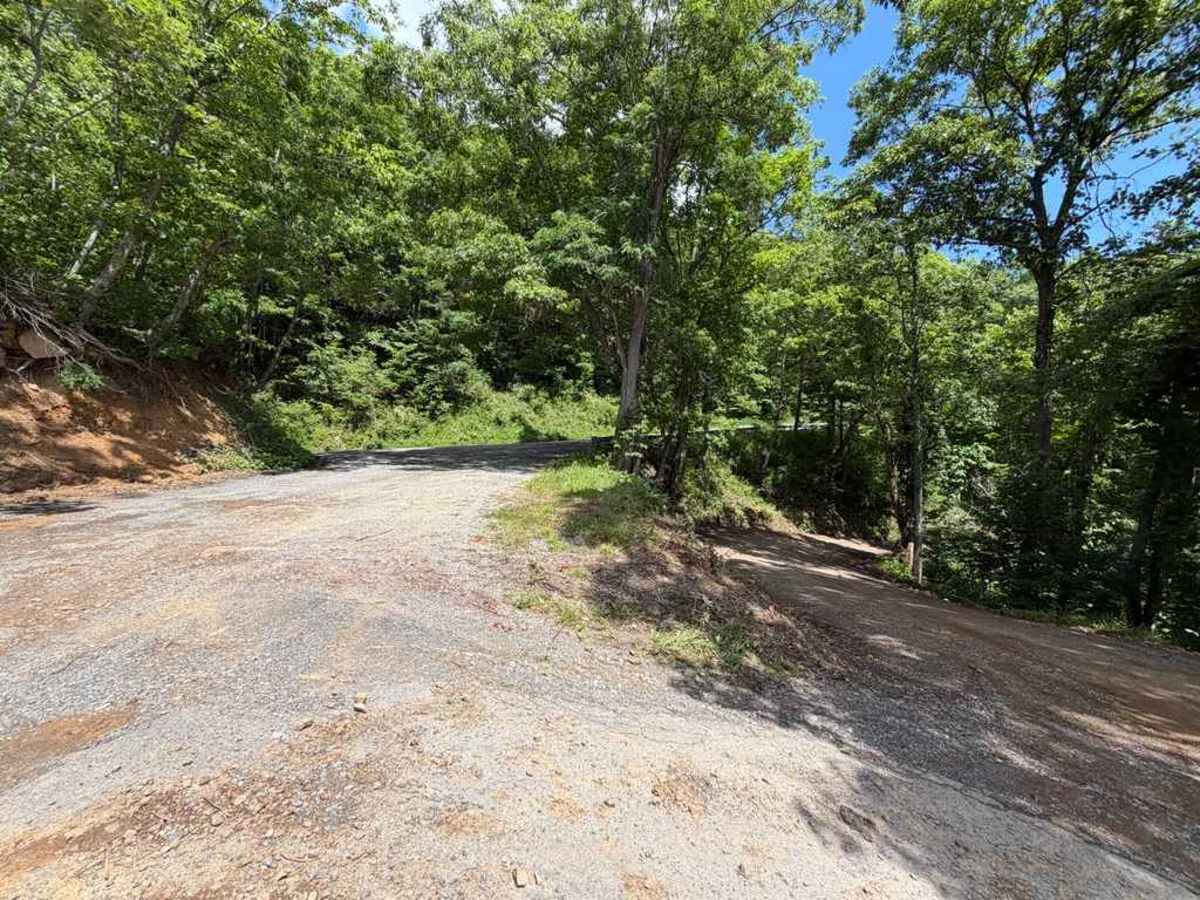
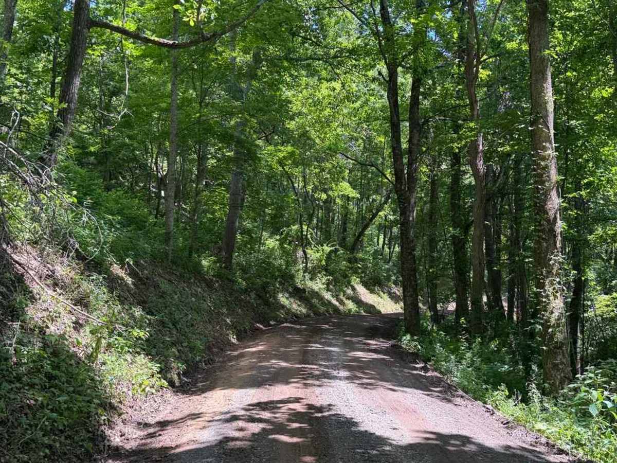
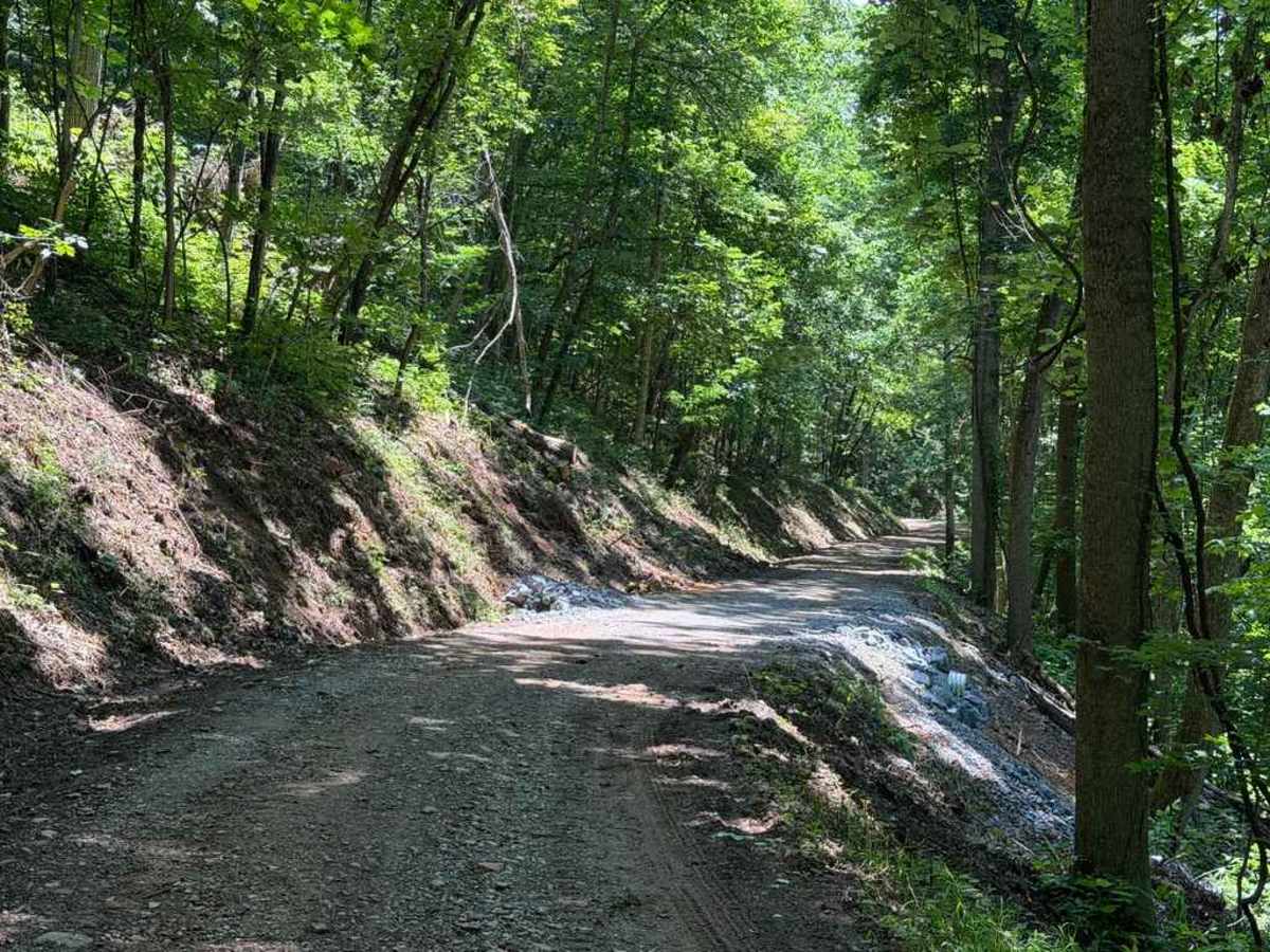
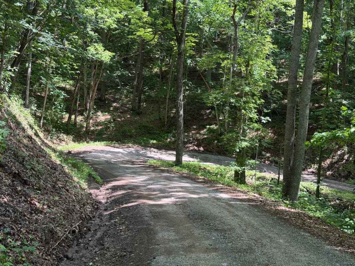
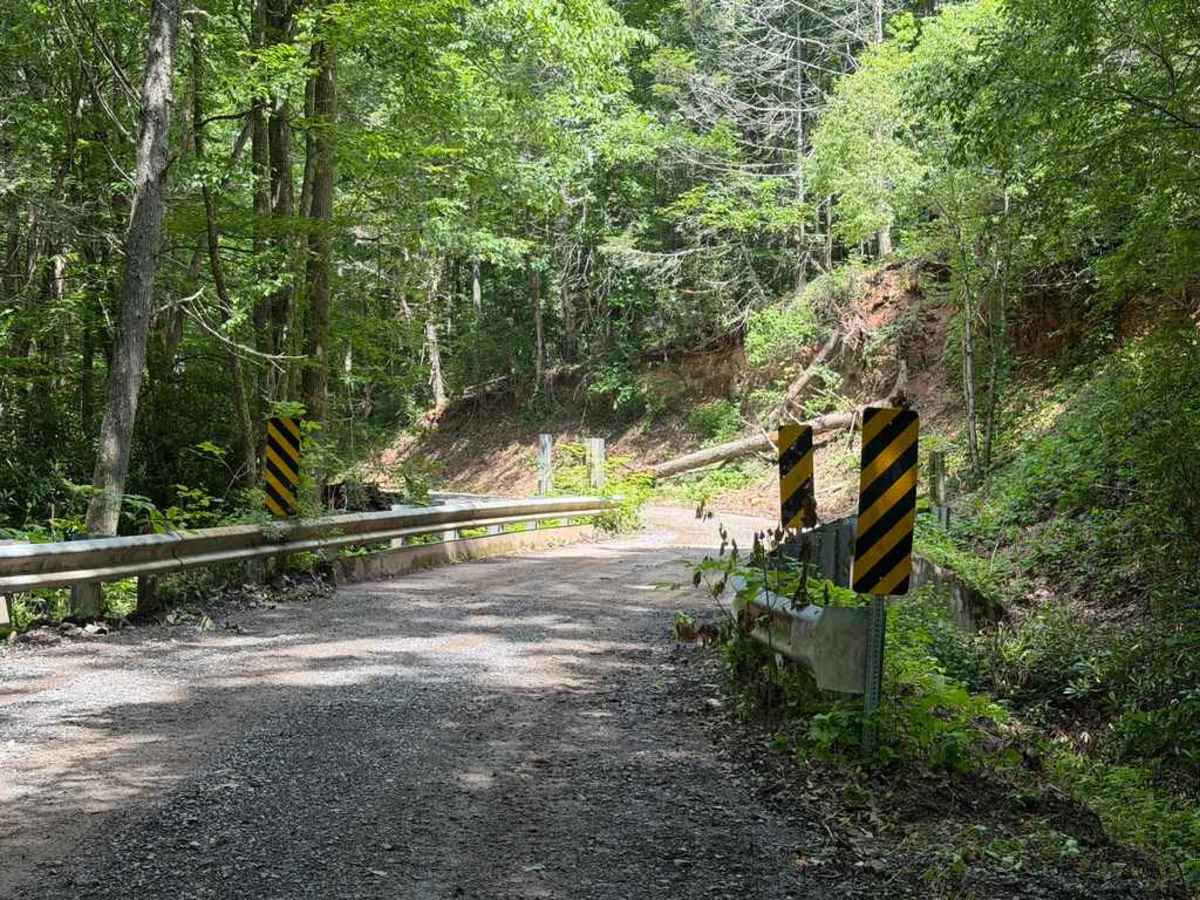
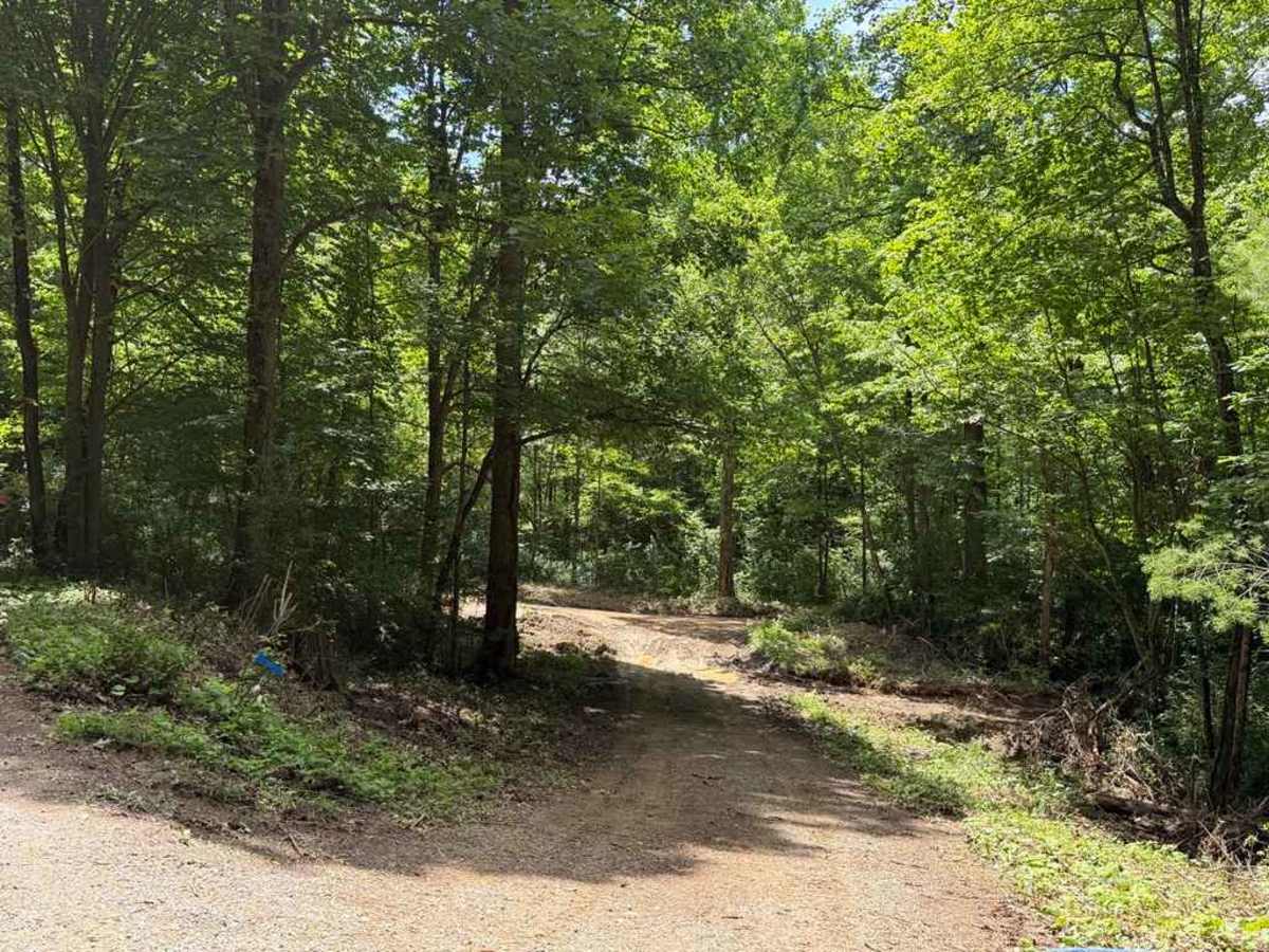
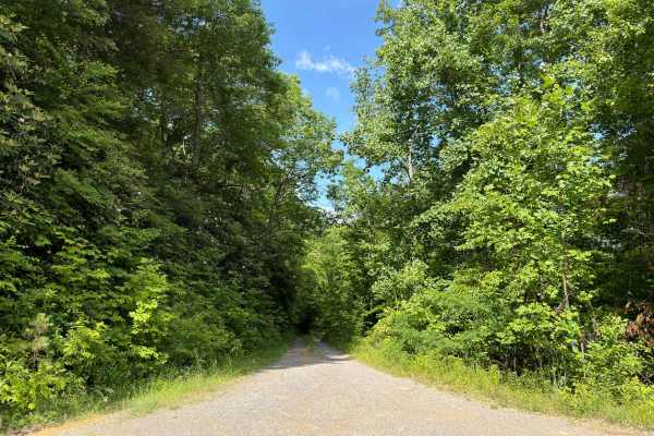
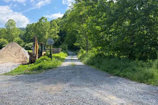
Poor Valley (FS 222) is a Forest Service road running through the Jefferson National Forest from Clinch Mountain to the valley of Chestnut Ridge. The trail is straightforward due to recent improvements and maintenance. This work has resulted in reduced ruts and potholes, fresh patches of gravel, and improved grades. However, due to the use of large machinery along the route, some portions of the trail have been torn up and feature small mud patches. The trail's eastern end borders private property, including local farms, camps, and residences where cattle can often be seen. A few additional lookouts along the route offer scenic views of the surrounding forest. Additionally, a couple of small-to-medium-sized clearings along the trail serve as primitive campsites large enough to accommodate up to four vehicles.
Difficulty
The trail has recently undergone maintenance to improve several rough sections, leaving the upgraded areas in good condition. However, some portions have become muddy and rutted due to the heavy machinery used during the process.