Danny S
Dec 01, 2025
Open
NormalDusty
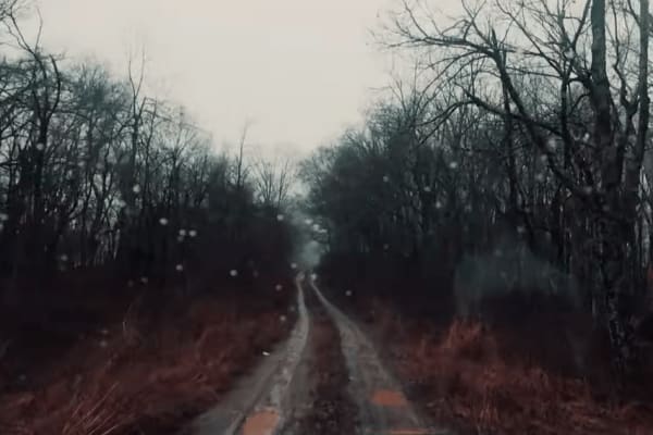
My go to chill ride, creek was low + couple spots for little mud. Most of the trail can be done 2wd, couple spots u may want it.
sebastian barberena
Nov 23, 2025
2024 Jeep Compass
Open
Normal
Pretty easy. I started from “Wildlife Road - FS224” and went right towards the longer part of the trail. I guess I missed the bigger water crossing but still had a few small ones that were easy.
Darin Jackson
Nov 22, 2025
2025 Jeep Wrangler
Open
Muddy/Wet
The creek at the bottom was too deep to cross, but other than that, it was a great little trail
Christopher Courtney
Nov 08, 2025
2023 Jeep Wrangler
Open
Normal
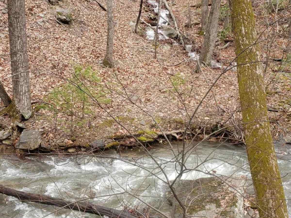
This is a beautiful trail this time of year with a few camp spots (I think we saw 5 total). The only reason it’s a blue is because of the one river crossing that was probably at about 24-30 inches when we crossed it with an uneven bottom. Any truck/Jeep should be good to cross it, but do so at your own discretion.
Brad Barton
Jul 26, 2025
2022 Ford Bronco
Open
Normal
The creeks were fairly low with the deepest water crossing only being about 12". Only a couple other folks out there. Nice ride.
Thang Nguyen
Jul 12, 2025
2015 Toyota 4Runner
Open
Normal
Down tree on wildlife trail. Broad run was clear. Pretty dusty, then light drizzle of rain, dust simmered and made it an even more enjoyable. Stock height 5thgen 4Runner, stock tire sizes 265/70r17 (sailun terramax r/t) water did NOT get in the cabin in deepest crossing. very easy, light steep climbs.
Bo Abney
Jul 11, 2025
2016 Toyota Tacoma
Open
Normal
Nice ride through the woods 😊 Water fairly low at the main crossing.
Morgan Burns
Jul 06, 2025
2022 Hyundai Tucson
Open
Rough/Deteriorated
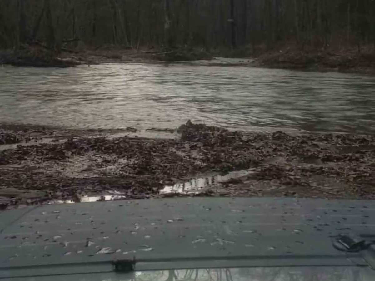
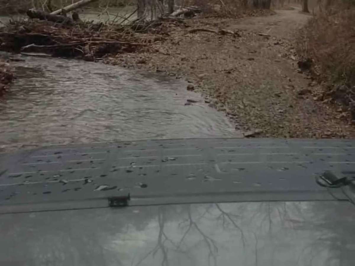
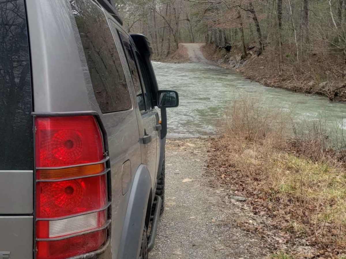
Heading from NE to SW, easily managed all water crossings until the largest and last. Some pot and mud holes, but easily avoided or traversed. Silt kicked up by ATV traffic at the big crossing obscured view of the bottom through the deepest part of the crossing and I was unsure of the line so I turned around. Definitely will not be attempting in this vehicle unless even lower water levels.
Dan H
Jul 04, 2025
2023 Jeep Gladiator
Open
Normal
Ran from south to north. Multiple creek crossings easily handled by my stock Gladiator Rubicon. Weather was beautiful and trail was pretty clear. Water levels were ok and no pin striping.
Bo Abney
Jun 27, 2025
Open
Normal
steve jolly
Jun 08, 2025
Open
Normal
Driving a stock jeep jl had no issues. Most of the water crossings were shallow and solid. There is one longer deeper water crossing where I engaged 4wd. Rest of trail ran in 2wd.
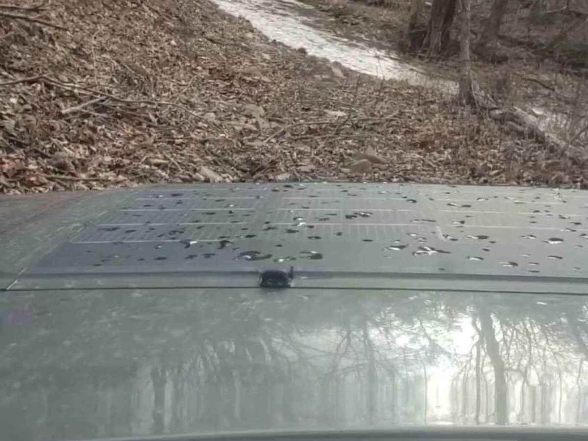
Ian Harris
May 31, 2025
2024 Toyota Tacoma
Open
Pretty good day to get out and ride but it has rained all week so the big creek crossing I didn’t attempt (on 33’s, passed jeep on 37’s who said it was up to his doors). The was a tree that fell on 224 near the end in craig county side (see photos).
andy thomas
May 25, 2025
2015 Chevrolet Silverado
Open
Rough/DeterioratedMuddy/Wet
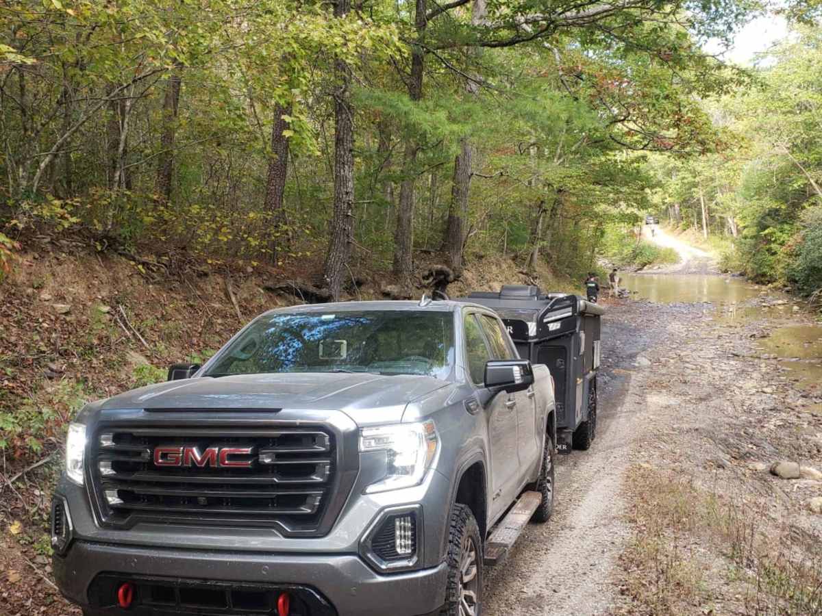
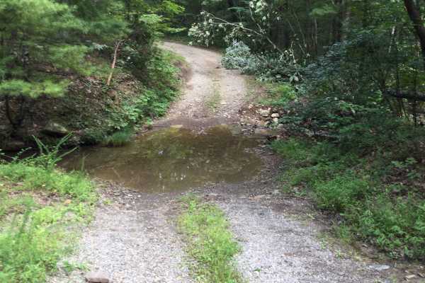
we started from the south. you'll cross the same creek multiple times as you head north. most the crossings are short but rocky and the water levels are low this time of year. 1/3 of the way in you'll encounter a longer deeper crossing that was 2-2.5' in the middle. I could see this being much deeper after hard rain. half way through there is a playground area along the power line tract with hillclimbs and mud holes. there are a few primitive campsites along the route. the trail is nice and wide compared to most other Virginia trails
Josh Powell
May 10, 2025
Open
Normal
Met a couple cars traveling the opposite direction. Deepest water crossing was around 20” or so. I went through the entire run in 2WD. Definitely love this trail! Lots of fun!
Daylon Compton
Apr 26, 2025
2014 Lexus GX
Open
Muddy/Wet
Easy day with only one other person.