Trail Overview
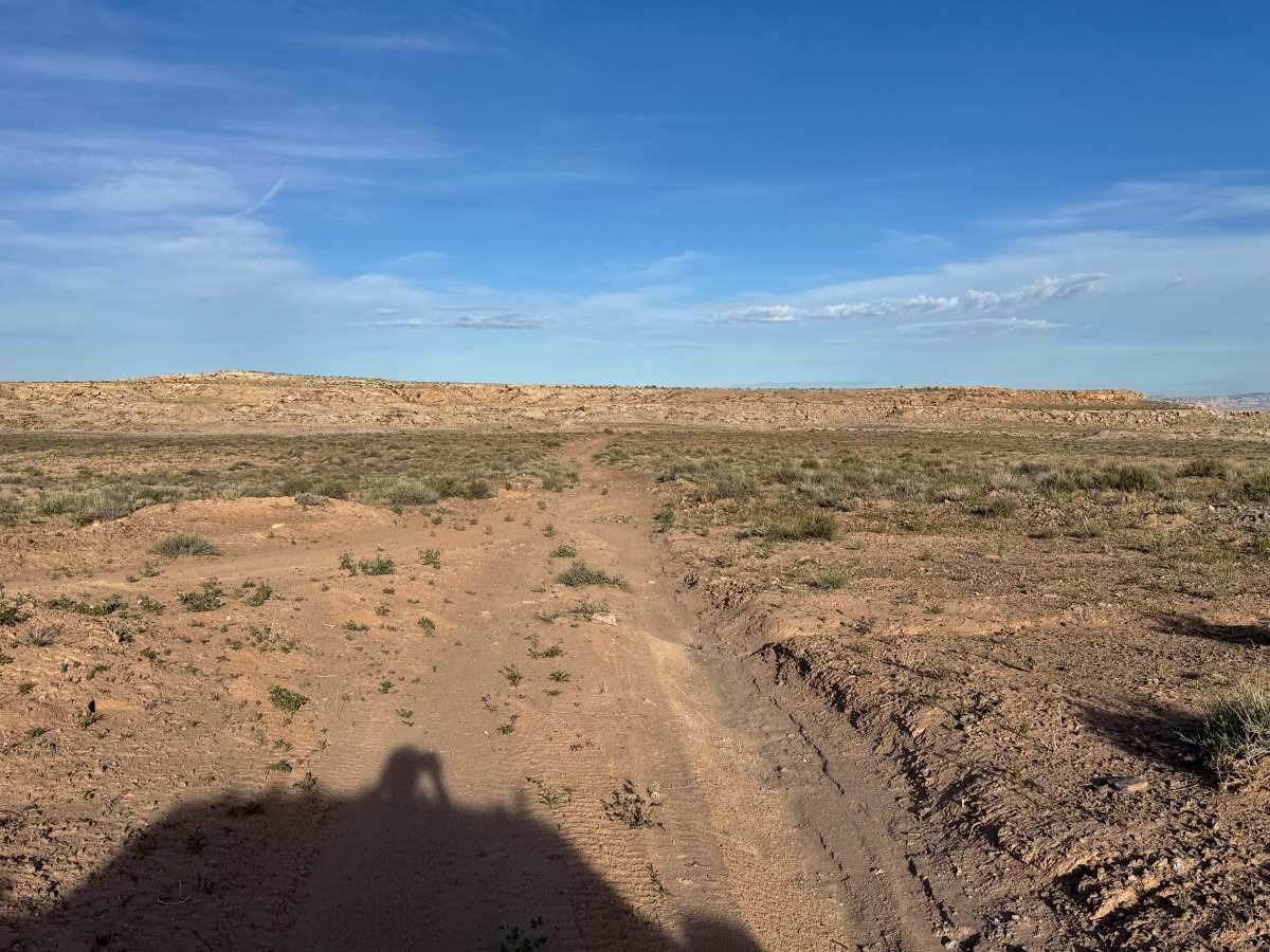
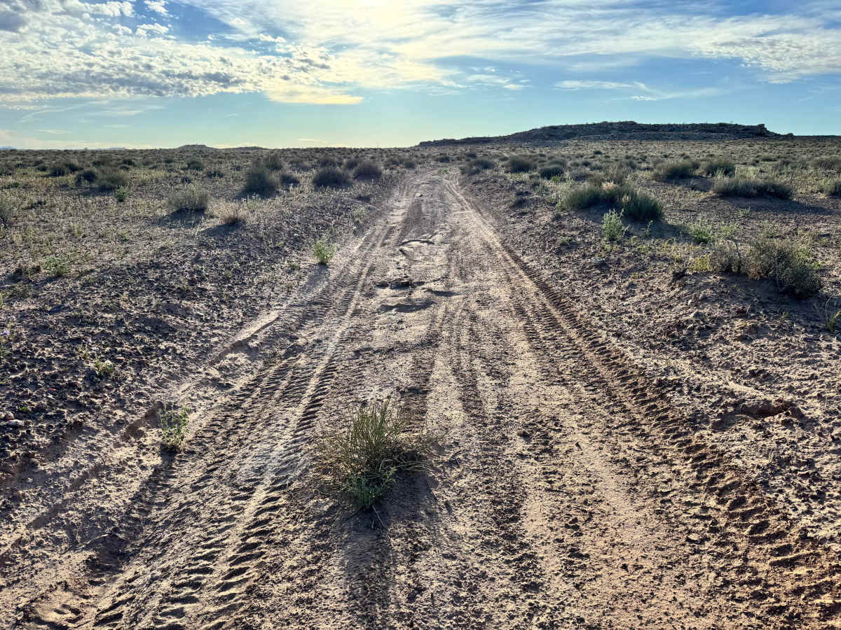
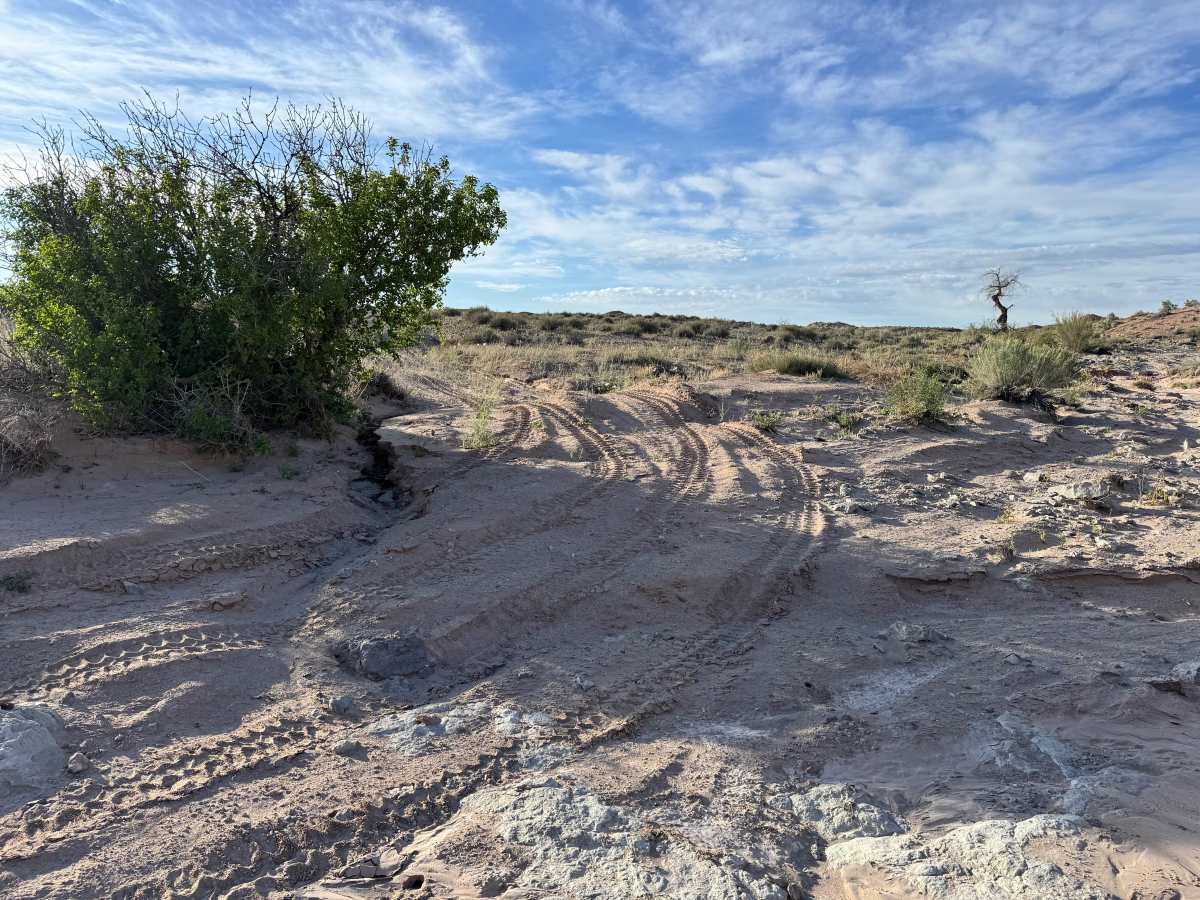
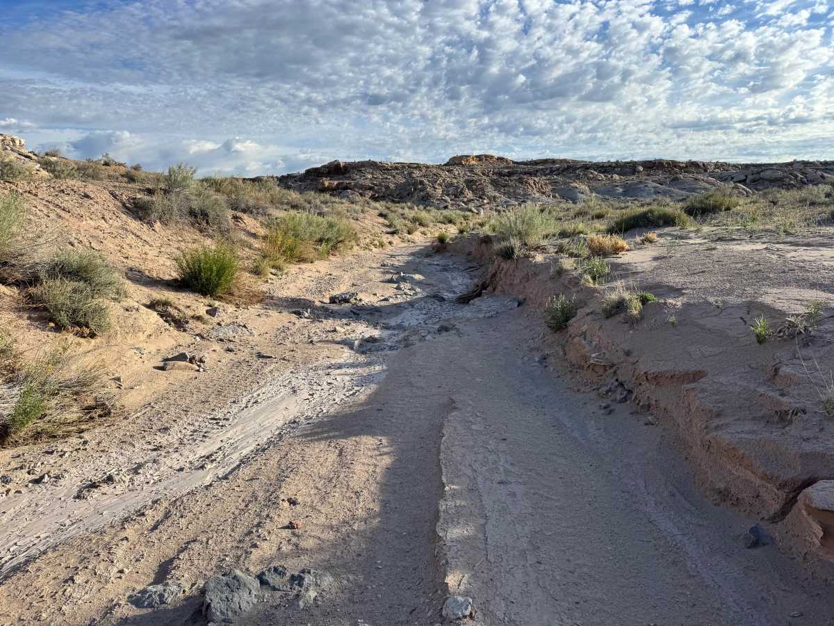
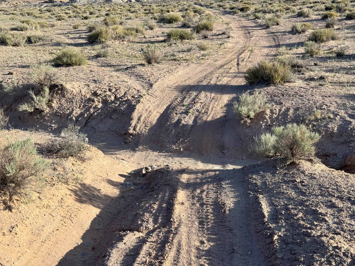
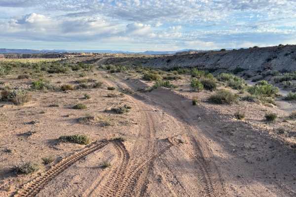
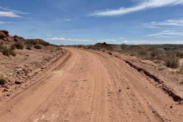
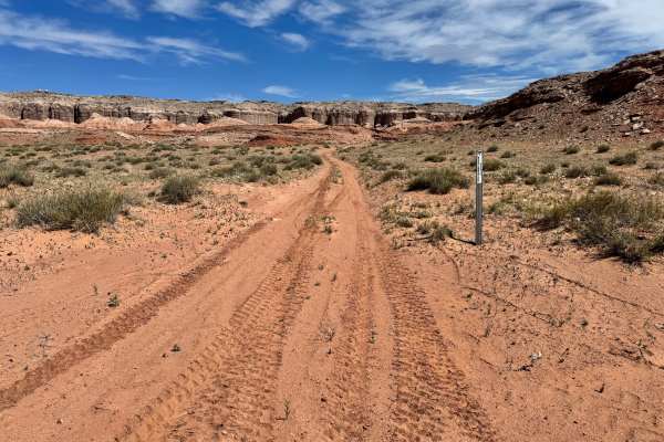
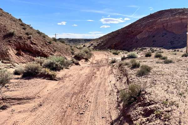
This route is a rugged backcountry drive that rewards persistence with impressive views at the end. The trail is heavily shaped by erosion, with numerous washouts cutting across the route and forcing drivers to constantly adjust line choice and speed. Several sections require steep climbs around rocks or up and out of deep wash crossings, making traction, clearance, and driver control important throughout the trip. Some washouts are filled with soft sand, which can make straight approaches more difficult for longer wheelbase vehicles that need extra room to line up properly. Expect a rougher, slower-paced trail where momentum and patience matter more than speed. The remote setting also offers opportunities to spot wildlife along the way. At the finish, the effort pays off with a scenic overlook above the Green River, along with sweeping views of the surrounding cliffs, mesas, and desert rock formations.
Difficulty
This is a rugged route with repeated washouts, steep climbs, rocky bypasses, and deep sand that demand driver attention and a capable vehicle. The combination of erosion damage and soft wash bottoms can make line choice difficult, especially for longer wheelbase rigs.