Trail Overview
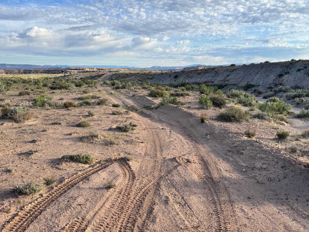
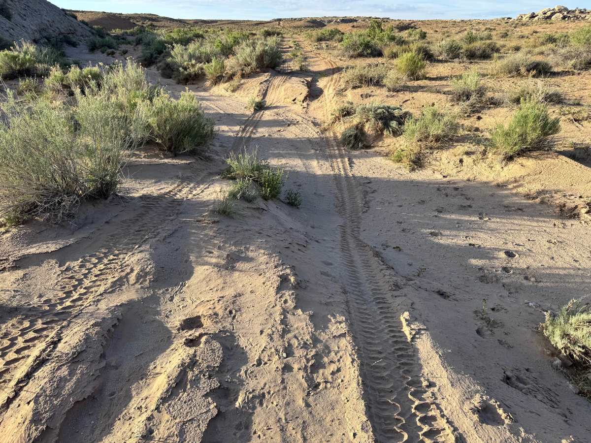
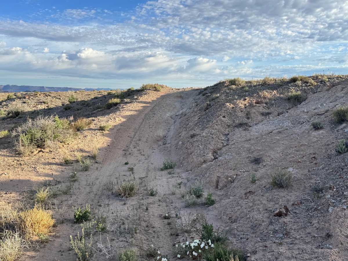
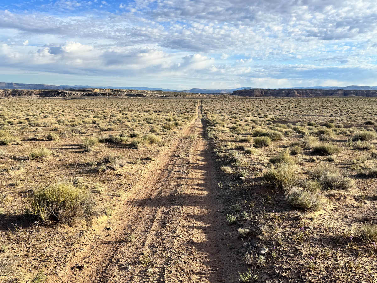
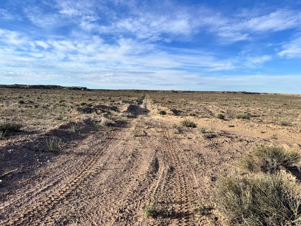
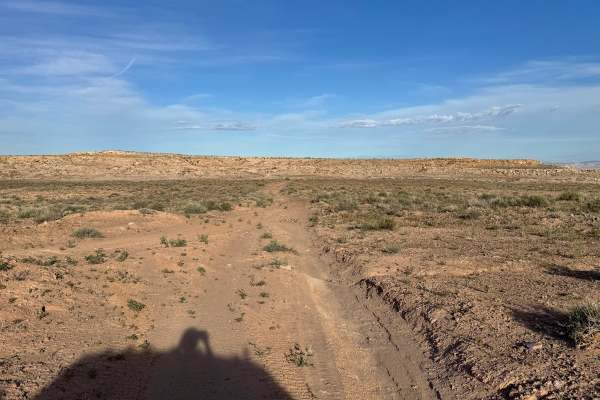
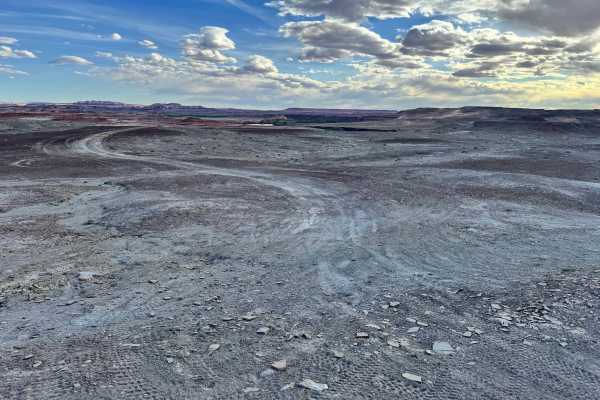
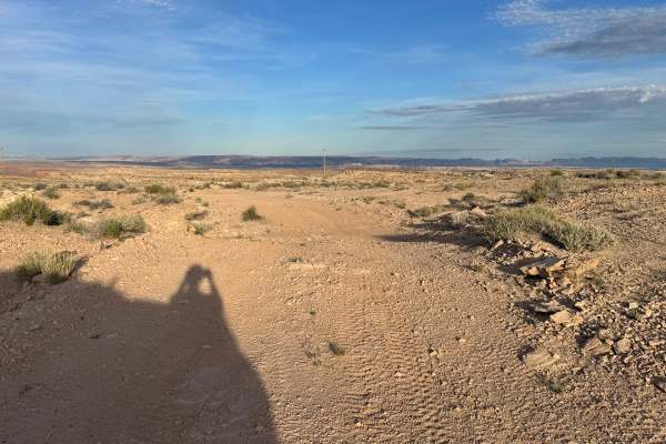
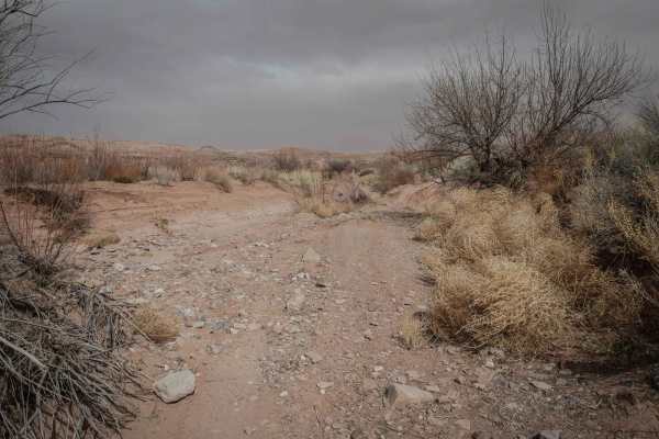
This route follows a sandy backcountry track with just enough obstacles to keep drivers engaged from start to finish. The base is primarily soft sand, which can affect traction and make momentum important on climbs or in deeper sections. Throughout the trail, scattered rocks protrude from the surface and create small ledges up to roughly 12 inches tall, adding mild technical features that require careful tire placement and decent ground clearance. Several large washouts cut across the route as well, and some can place the vehicle in off-camber positions that may feel unstable or uncomfortable, especially for less experienced drivers. Speeds are generally low, with progress depending more on line choice than horsepower. The trail eventually ends at D2915, where travel can continue on connected routes. Beyond that point, the original path has been reclaimed by Mother Nature, with erosion and time erasing what was once a passable road.
Difficulty
This route combines soft sand, off-camber washouts, and rock ledges up to 12 inches tall. Most capable stock high-clearance 4WD vehicles can complete it in dry conditions, but inexperienced drivers may find sections intimidating.