Trail Overview
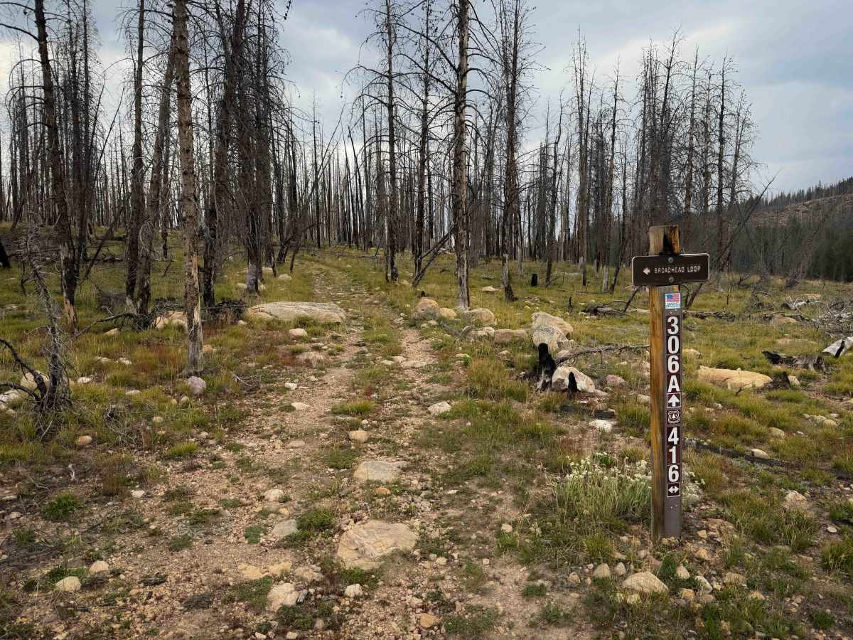
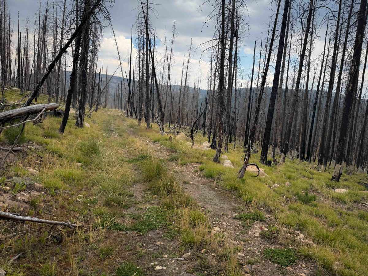
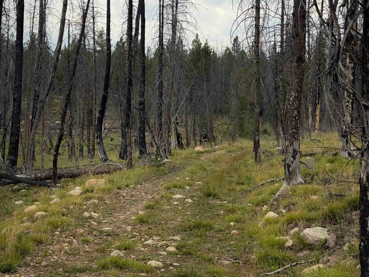
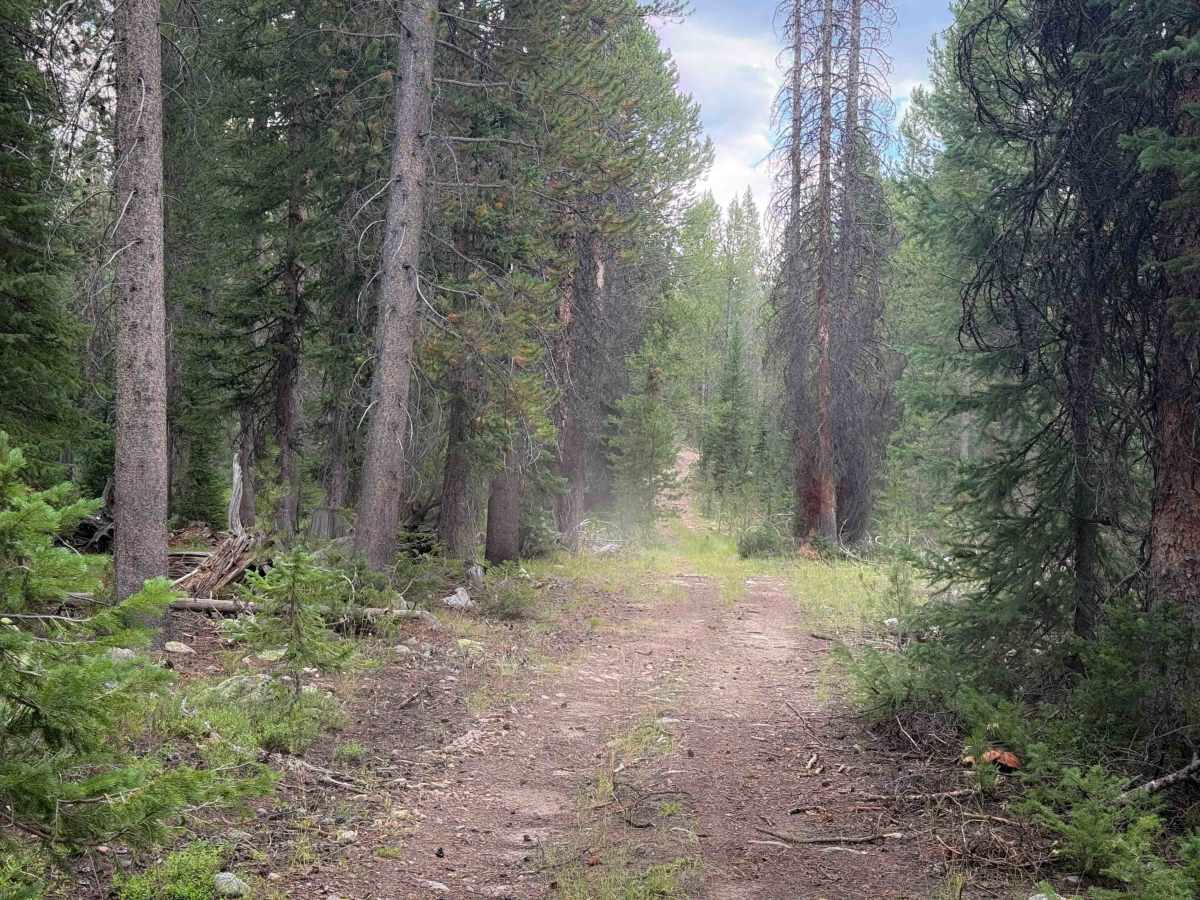
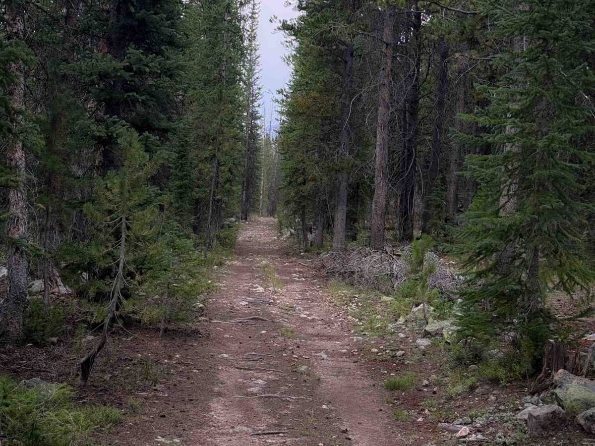
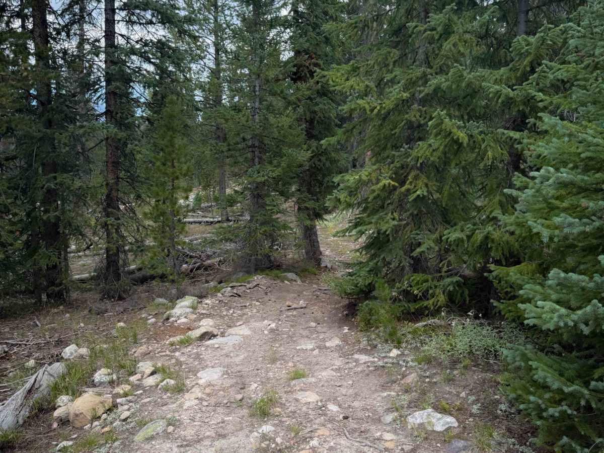
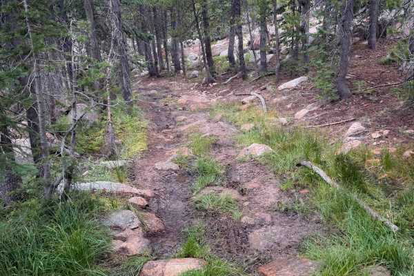
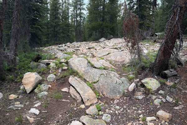
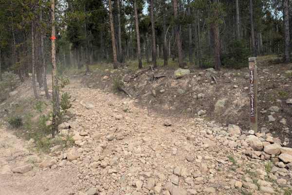
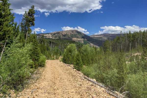
FS 306A is a 1.7-mile-long ATV trail within the Murdock Basin ATV system. It goes through an old burn area in a hilly forested terrain that is full of small embedded rocks that make the trail very slow going and bumpy. There is potential for new log hazards throughout the burn area. It weaves tightly through the pine trees, riding over lots of small boulder faces, and through sections full of loose baby heads that really ping you around. It has short climbs up and down as it traverses the hillside, but is mostly gradual or flat. There are lots of embedded root bands across the trail as well, mixed in with the rock. A couple of times it’s so full of rocks that it’s more like a small rock garden. There aren’t any tall ledges that you have to ride up; it’s just constantly rocky. The rocks let up in a few sections, but it’s pretty consistently rocky throughout the entire route. The trail starts and ends on the 4x4 road FS 416, and easily connects to the Broadhead Loop - FS 306, which is similarly rocky.
Difficulty
This trail is not overly difficult and does not have any major obstacles, but it is consistently rocky, full of small loose rocks and bigger embedded boulder faces that riders must ride over, making it a slow and bumpy ride. The rocky sections are consistent throughout the entire route.