Trail Overview
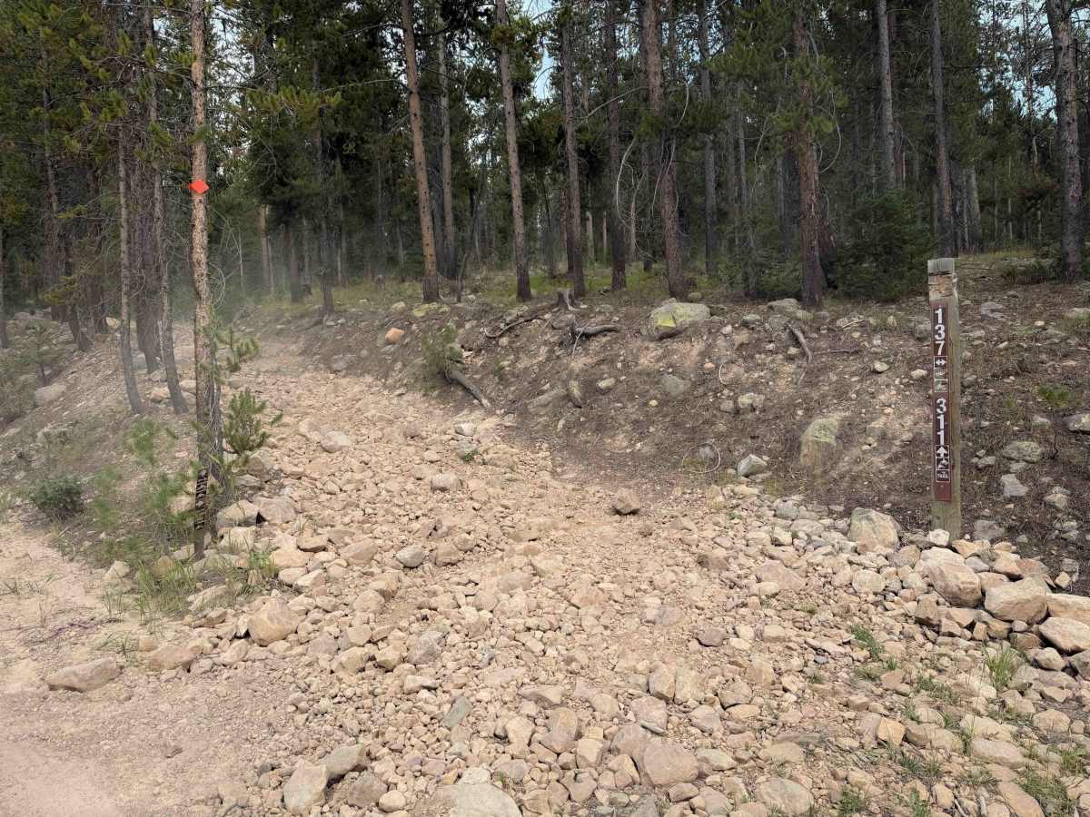
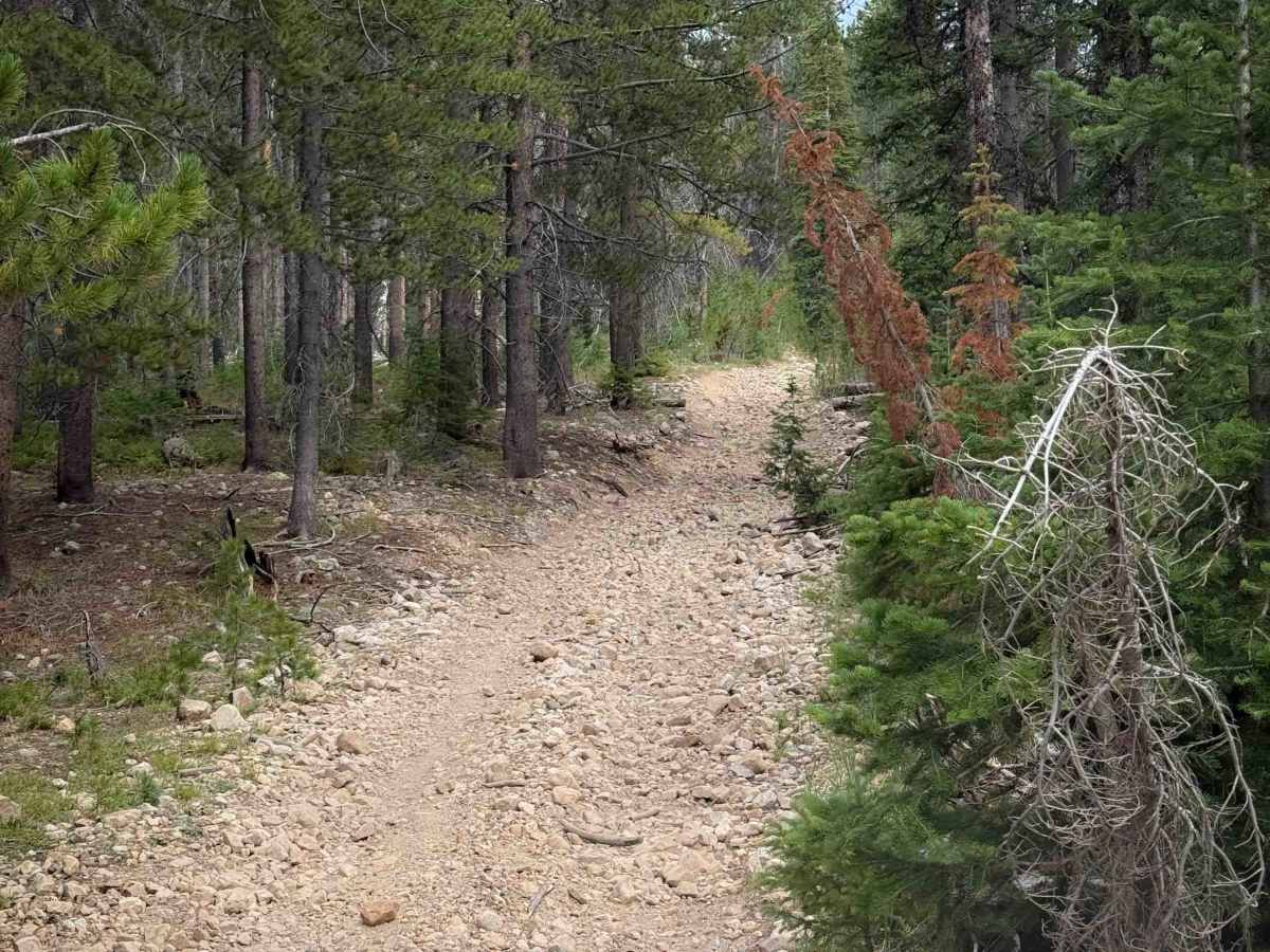
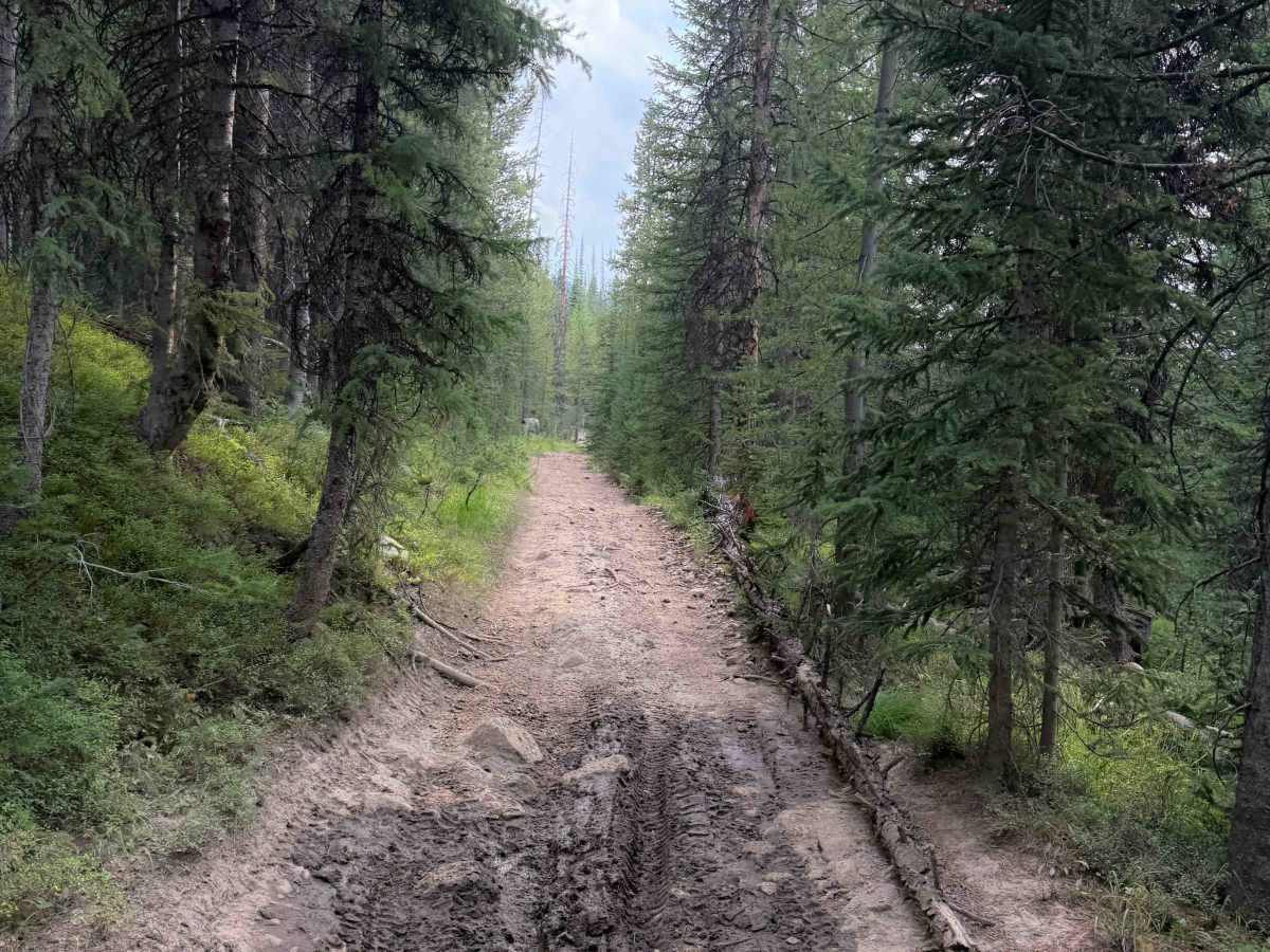
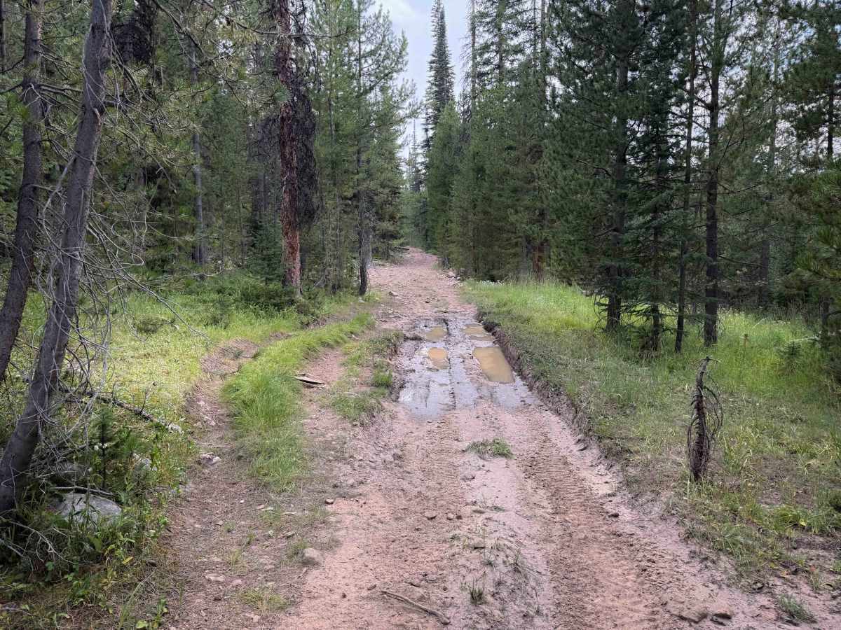
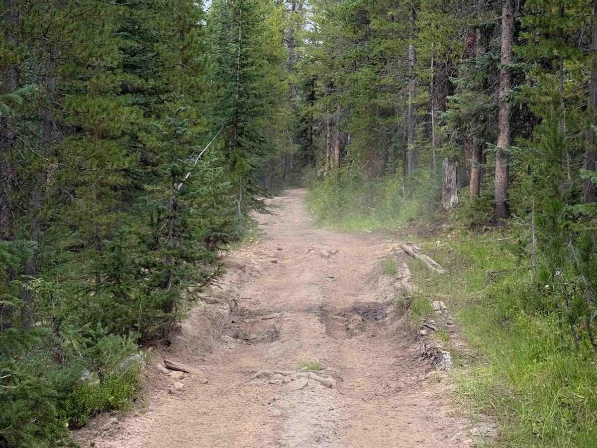
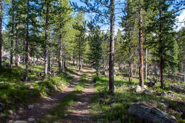
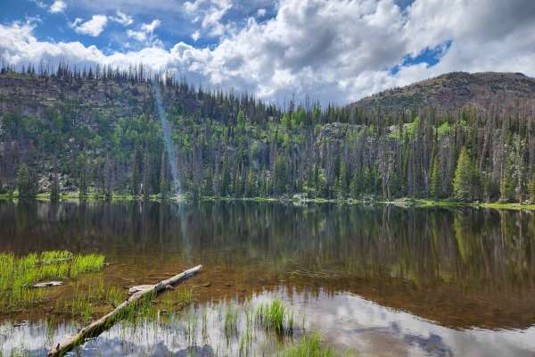
Confluence Trail is a short connector trail in the Murdock Basin ATV trail system. It starts on the main road into the system (Murdock Basin Road) and connects to the Canyon Overlook Trail. The entrance on the west side is the rockiest section and most difficult part of the route. It is full of loose rocks, with a couple small boulders that riders can ride right over. The rest of the trail is frequently covered in small golf-ball-sized rocks, riding through a mix of flat forested terrain and a couple of steeper climbs. The trail is a decent width for 50-inch vehicles, going through a scenic forested corridor of lodgepole pines, with shallow ruts and gradual curves, steadily gaining about 370 feet over .8 miles. Watch out for the intermittent larger loose rock, small root bands, and the potential for downfall. There are a couple of muddy ruts on the east end.
Difficulty
This trail is relatively easy despite the many rocks. The west end of the route has the most rocks, with a heavy layer of loose rocks and a couple of bigger embedded boulders. The middle of the route is the steepest part. The east end of the route has a few muddy ruts. Overall, it is still easy and approachable for riders with a basic experience level.

 Offroad