Murdock Basin

Total Miles10.6
Technical Rating
6Moderate
Best TimeSummer, Fall
Trail TypeSingle Track
Accessible By
Open Trail Map

Trail Overview

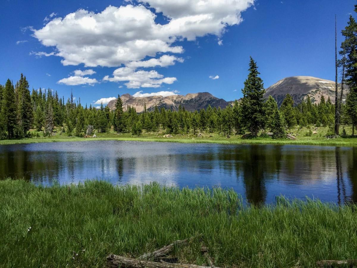
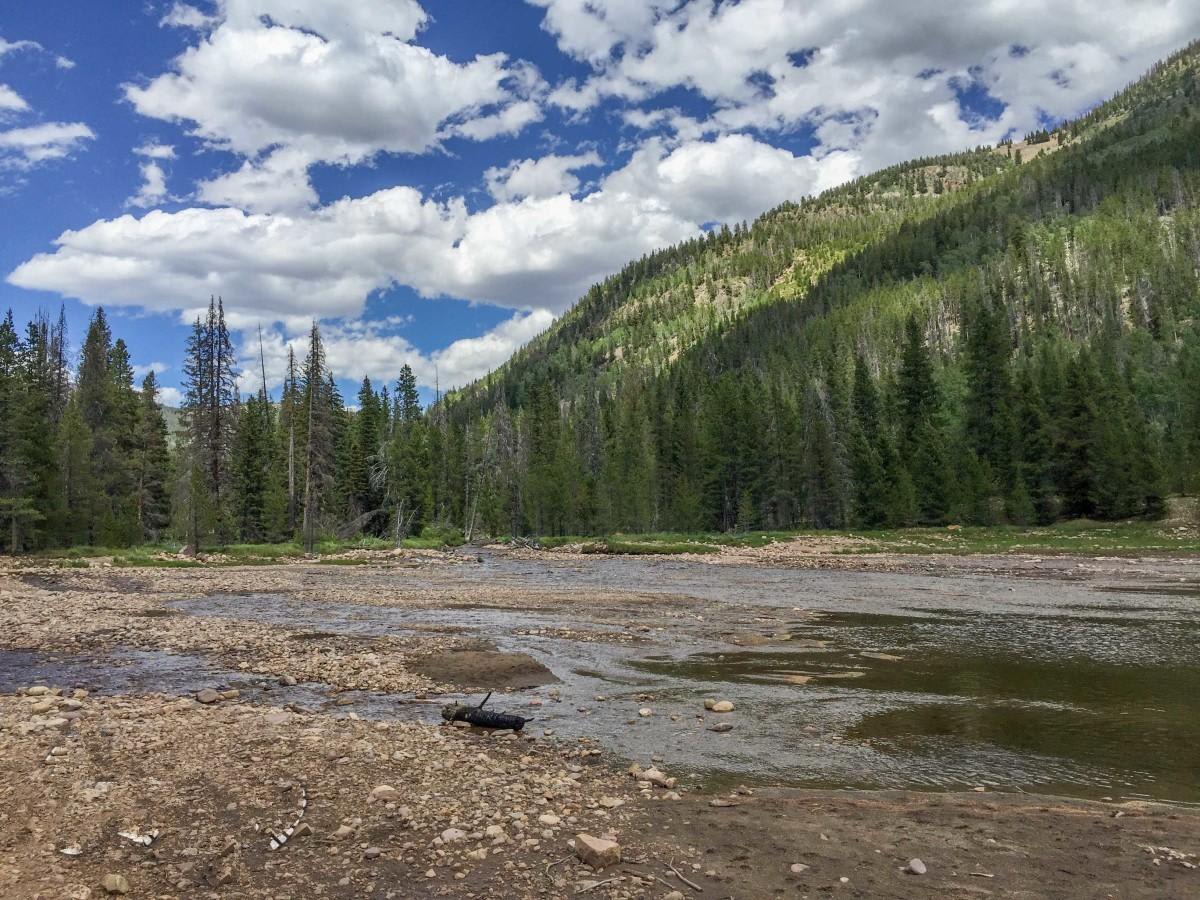
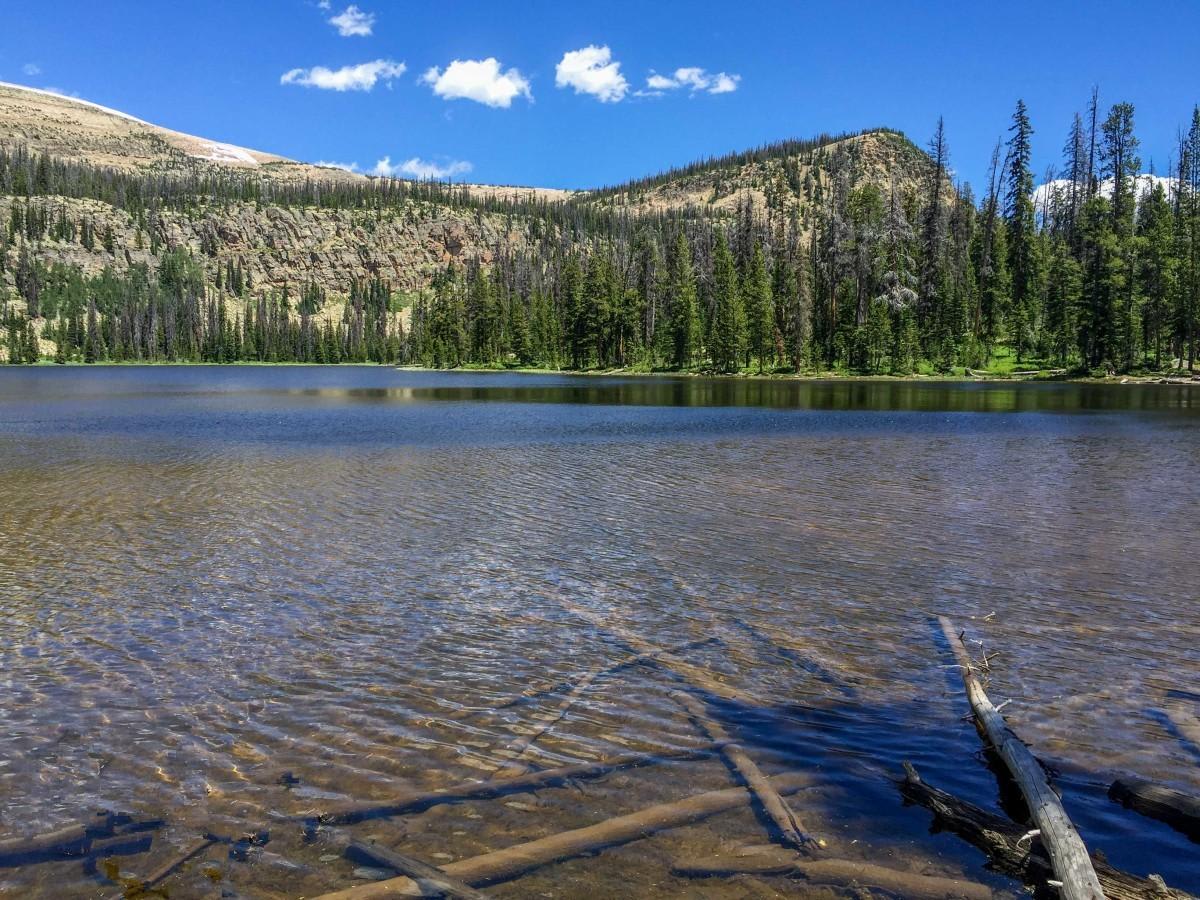
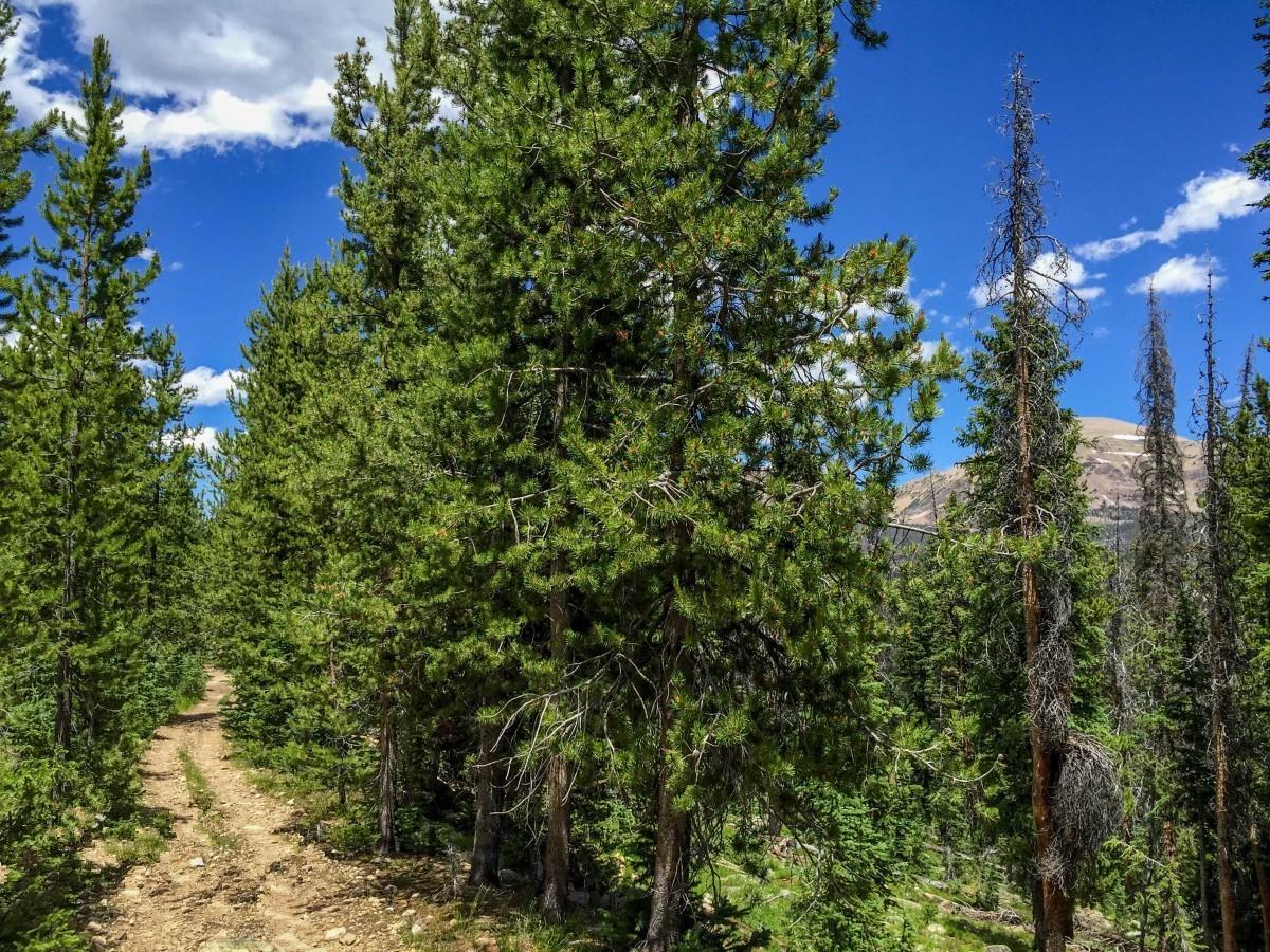
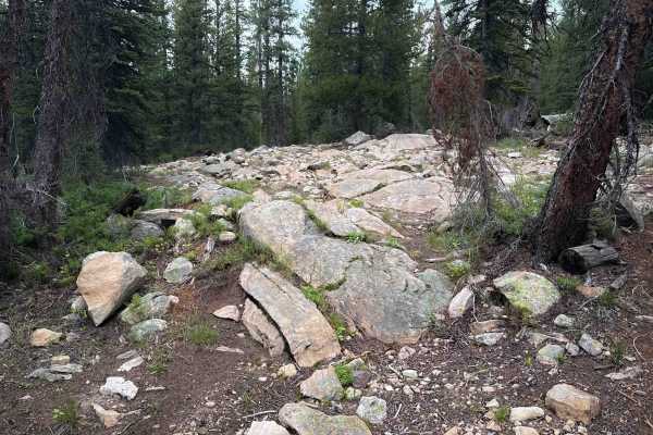
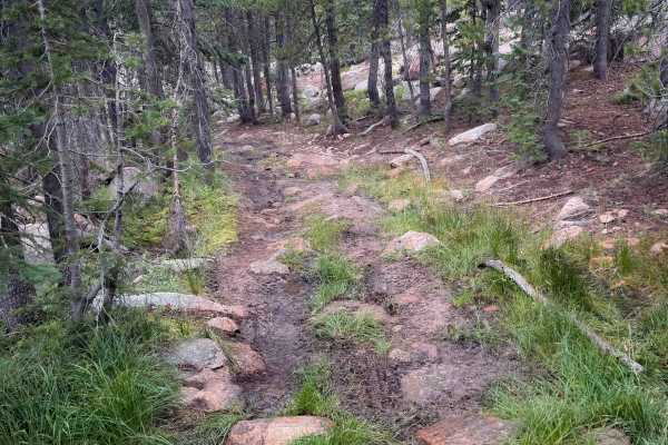
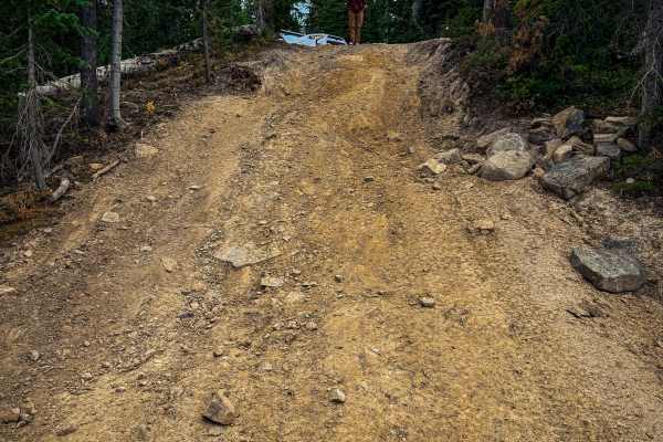
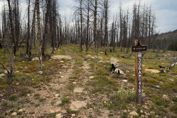
Murdock Basin is an exceptional high-elevation trail system in the Uinta-Wasatch-Cache National Forest, offering OHV riders and four-wheel-drive enthusiasts a moderately challenging route through dense pine forests and past scenic alpine lakes. Spanning approximately 10.6 miles, this trail starts just off the Mirror Lake Highway (Utah State Route 150) and climbs from an elevation of 9,245 feet to a peak of nearly 9,985 feet. The terrain is characterized by a rough, rocky dirt surface that demands high-clearance four-wheel-drive vehicles, SxSs, ATVs, or dirt bikes. Along the route, travelers will navigate moderate rocky obstacles, uneven ledges, and some muddy sections, making a technical rating of 6 highly accurate for this mountain adventure. The trail weaves through the scenic basin beneath the towering Murdock Mountain and Mount Cardwell, passing close to Echo Lake and Pyramid Lake, which serve as excellent spots for a quick break, fishing, or easy backpacking. With a cumulative elevation gain of around 1,180 feet, the route offers breathtaking high-country views and access to numerous spur trails leading to additional secluded alpine waters. Due to its high elevation, the trail is typically accessible from late June through October, depending on the snowpack, and requires a recreation pass for parking along the Mirror Lake Highway corridor. Navigating the network can be complex, so having an offline map or a forest service motor vehicle use map is highly recommended to stay on designated routes and fully enjoy this rugged Utah destination.

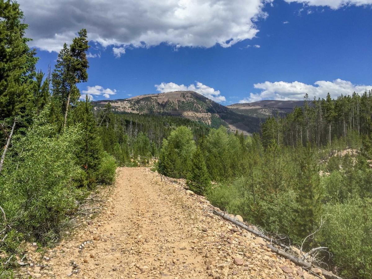
Photos of Murdock Basin

Technical Rating

6

Status Reports

Add Status Report
Nate Losee
Jun 06, 2026
2025 KTM 250 XC-W
Open
DustyMuddy/Wet
Trail is a fire road/forest access road for give or take 70% of the whole thing. Full size cars, trucks with camper trailers and everything off-road can make it most of the way. The last stretch to Hoover Lake is pretty rough for cars and trucks but plenty of space for sxs and 4 wheelers as well as dirtbikes obviously. Lots of good camping off the main road. Great weekend camp spot
Max Vadeboncoeur
Aug 17, 2025
Open
Rough/Deteriorated
The trail starts easy but the deeper you go the more rocks you find. I was on a dirt bike today but I wouldn't be scared to bring my Jeep back here. By the time I got up by Pyramid lake I had passed two lost spare tires and a full size propane tank. Saw a couple stock F150's and a Tundra, coming back out, that where pushing through but no one looked happy about their choice.
Zane Winberg
Aug 02, 2025
Open
This road starts out pretty smooth and then gets extremely rocky and rough. We saw all kinds of different vehicles (Sprinter van, Subaru, Jeeps, SxS, even a Mazda SUV) on our journey all the way up around the loop until it turns into an ATV 50 inch trail enforced by two large boulders placed there. We were aired down to 15psi in our Jeep Wrangler, still pretty rough.
Sam Wilson
Jun 07, 2025
Open
Normal
took my stock trd off road tacoma there and i went to pyramid lake
Andrew Wood
Aug 27, 2024
Temporarily Closed
Posted Sign
miesenッ Chanhom
Aug 02, 2024
Open
Normal
Lots of wildlife, and so many hidden lakes. was a beautiful fun cruise up the trail, there are a few diff breakers, so be cautious!! 🪨. But ultimately no obstacles were too extreme. Took my baby boy, and wifey up in our 1995 4Runner and had a blast!!
Jack Simpson
Jul 01, 2024
Open
Dusty
Hard for the subi, but we made it through!
Brent Adams
Jul 24, 2023
Open
Normal

Murdock Basin Trail can be accessed by the following ride types:

  • Single Track

Access Description

The trail system is managed by the Uinta-Wasatch-Cache National Forest. A Mirror Lake Recreation Corridor fee is required for parked vehicles along Highway 150. The route is subject to seasonal closure due to snow, typically opening in late June and remaining open through October.

Murdock Basin Map

The onX Offroad Difference

onX Offroad combines trail photos, descriptions, difficulty ratings, width restrictions, seasonality, and more in a user-friendly interface. Available on all devices, with offline access and full compatibility with CarPlay and Android Auto. Discover what you're missing today!

Open Trail Map