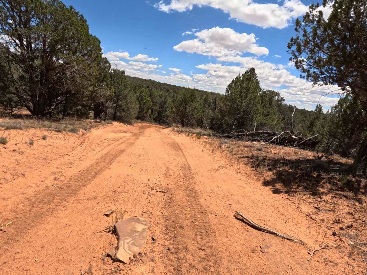
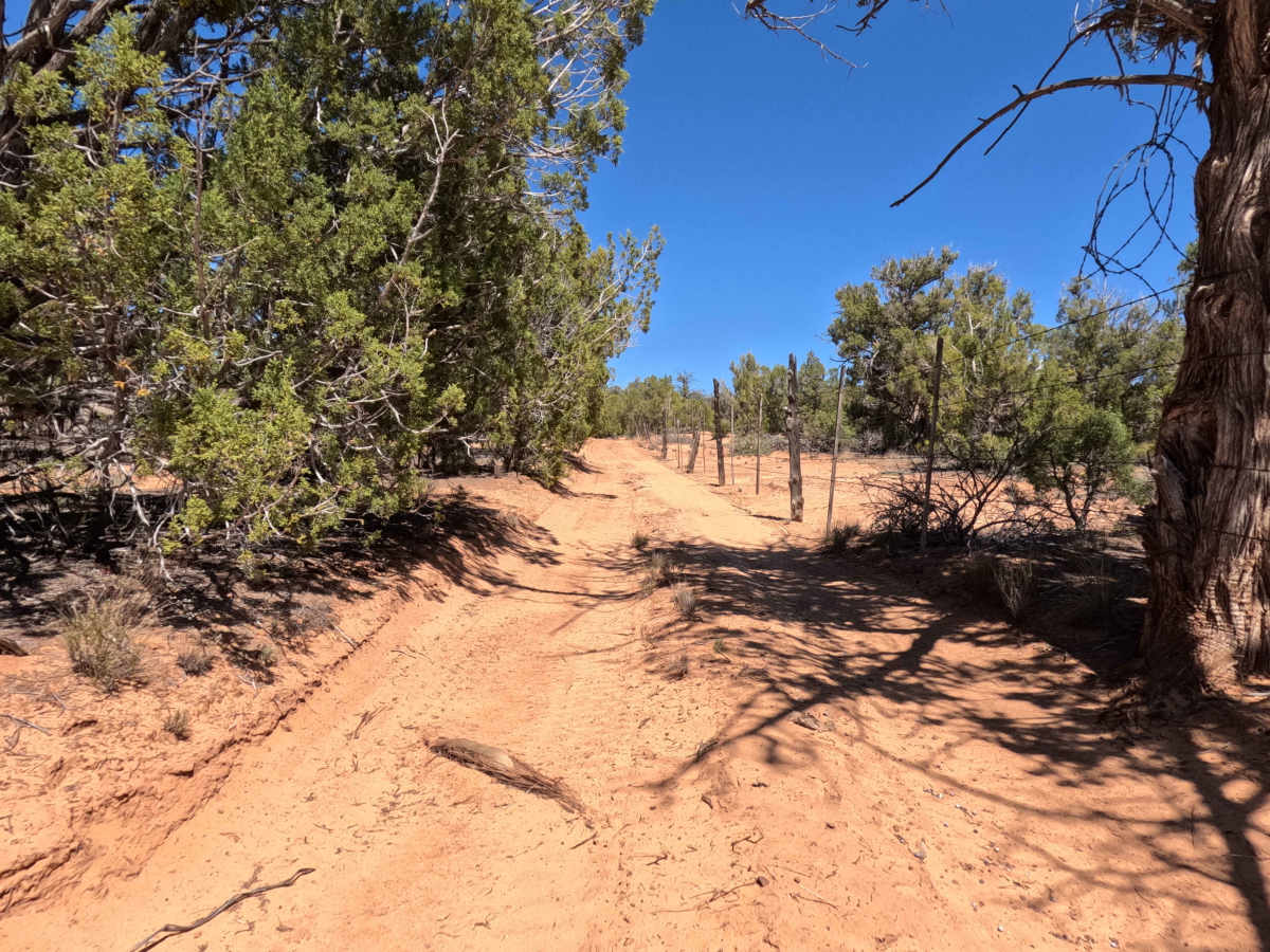
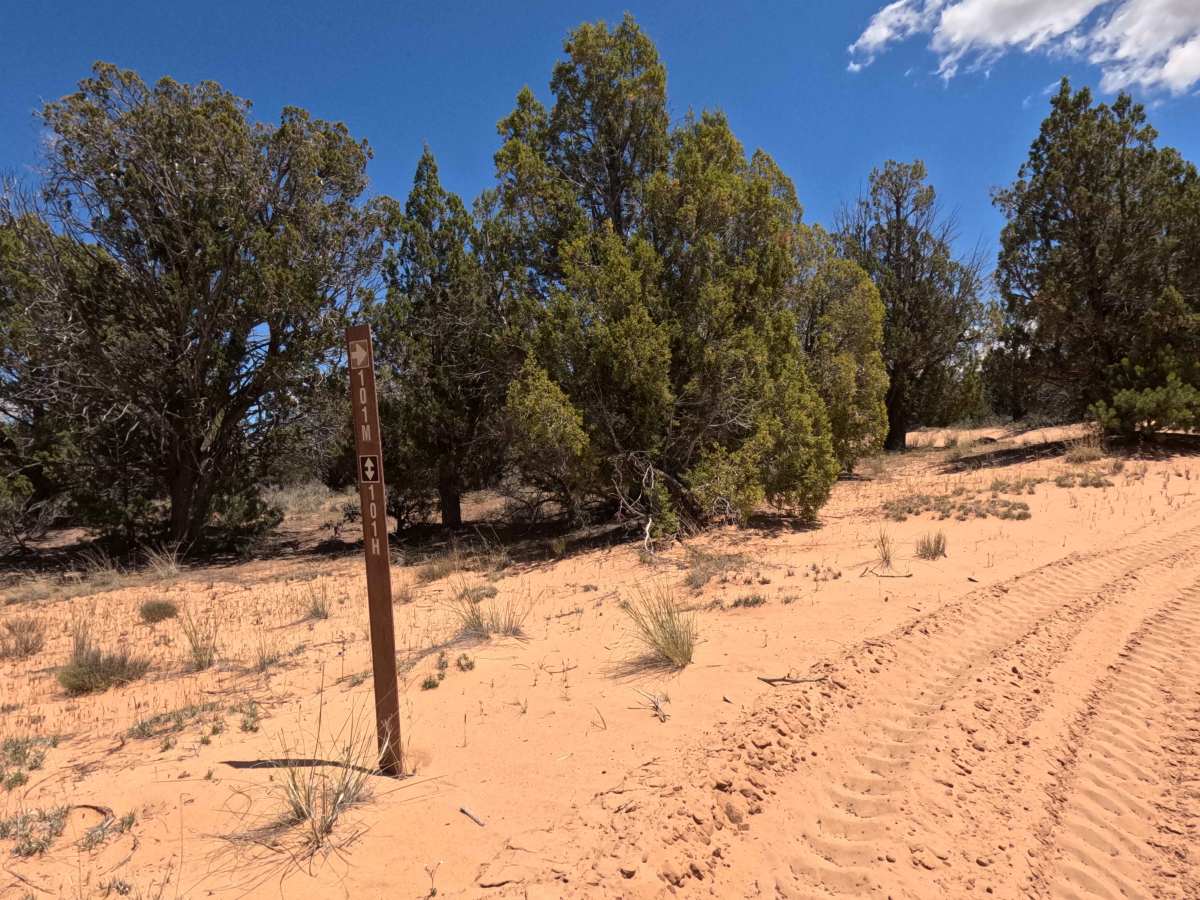
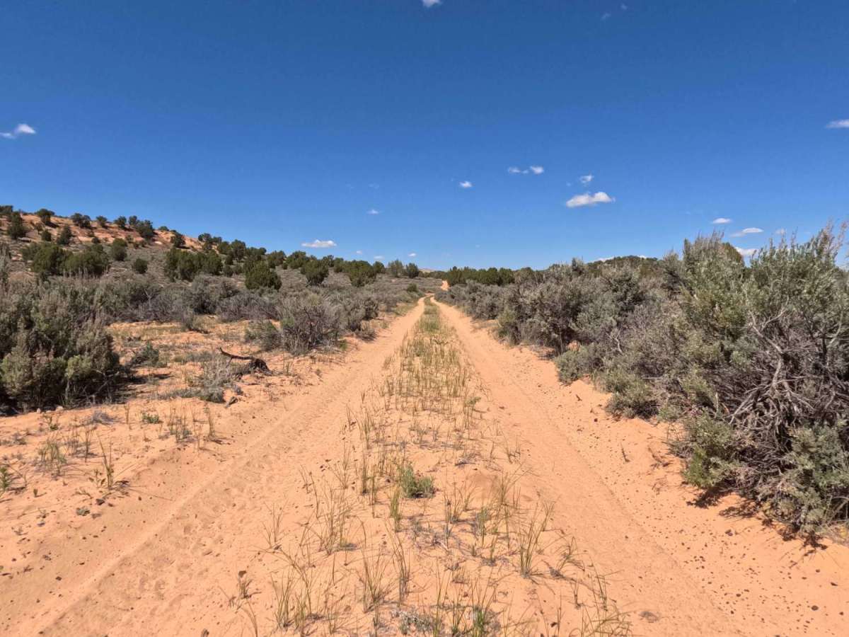
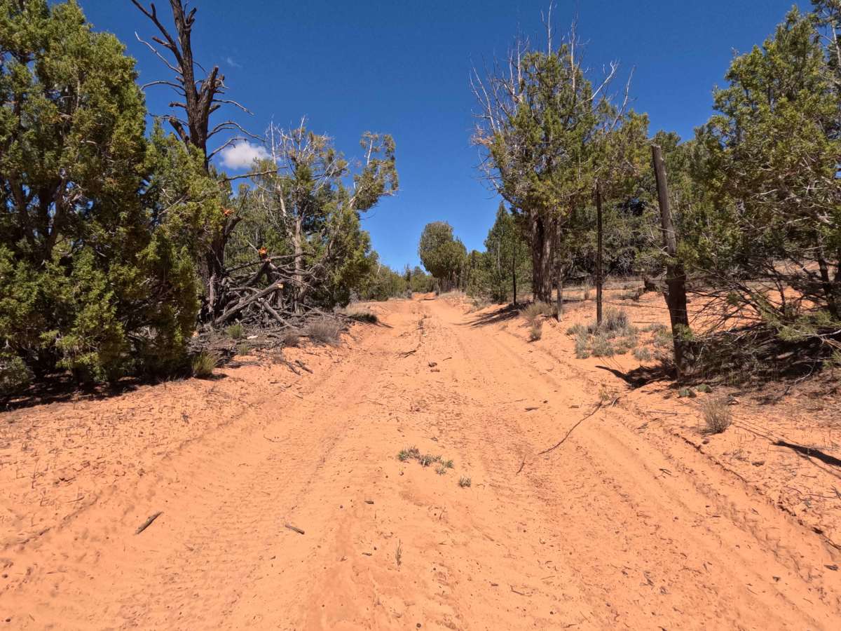
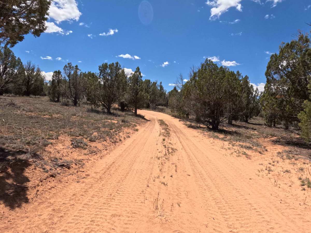
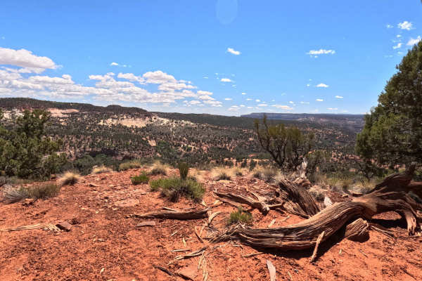
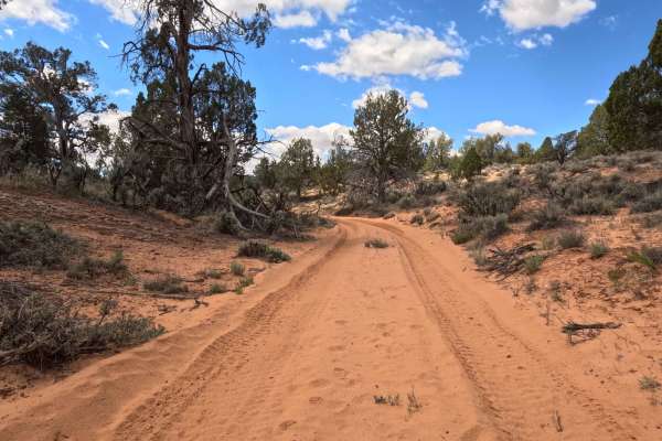
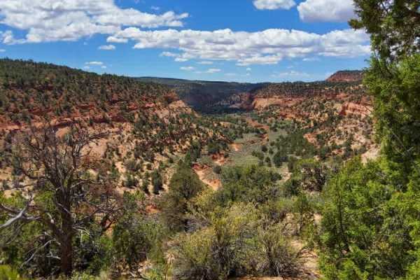
Trail Overview
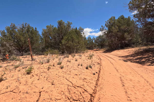
Marked clearly at its start by a standard brown carsonite forest service post indicating the junction with 101H, BLM 101M is an exceptionally fun, fast-paced 3.5-mile backcountry two-track. The trail effortlessly weaves through a vibrant high-desert landscape, flanked by healthy green juniper trees and rustic desert scrub under a brilliant blue sky dotted with bright white clouds. Known for its fluid, rhythmic pacing, the route heavily features a series of sweeping, naturally banked sandy turns that actively encourage a quicker driving speed. As the path progresses, the scenery subtly shifts, guiding off-roaders closely alongside an old, weathered wire fence line supported by rustic wooden posts. While the majority of the transit is a remarkably smooth and enjoyable cruise, drivers must remain vigilant for scattered sandstone debris and sudden pockets of deep, heavily tracked red sand.
Difficulty
BLM 101M confidently earns a Level 3 Moderate technical rating. While much of the 3.5-mile trail allows for a fluid, relatively fast driving pace through the banked turns, the primary obstacle is a distinctly steep, deeply rutted sandy hill climb. To successfully maintain necessary traction and power up this soft, shifting incline without getting bogged down, a high-clearance vehicle equipped with a true four-wheel-drive (4WD) system is required. Furthermore, lowering your tire air pressures before hitting the trail is strongly recommended to drastically improve essential flotation through the heavily tracked sand and smooth out the overall ride. Standard low-clearance AWD crossovers may struggle to clear the deeper ruts safely.