North County Road

Total Miles8.8
Technical Rating
1Easy
Best TimeSpring, Fall, Winter
Trail TypeFull-Width Road
Accessible By
Open Trail Map

Trail Overview

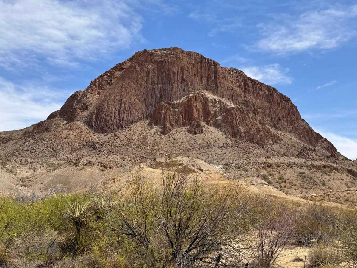
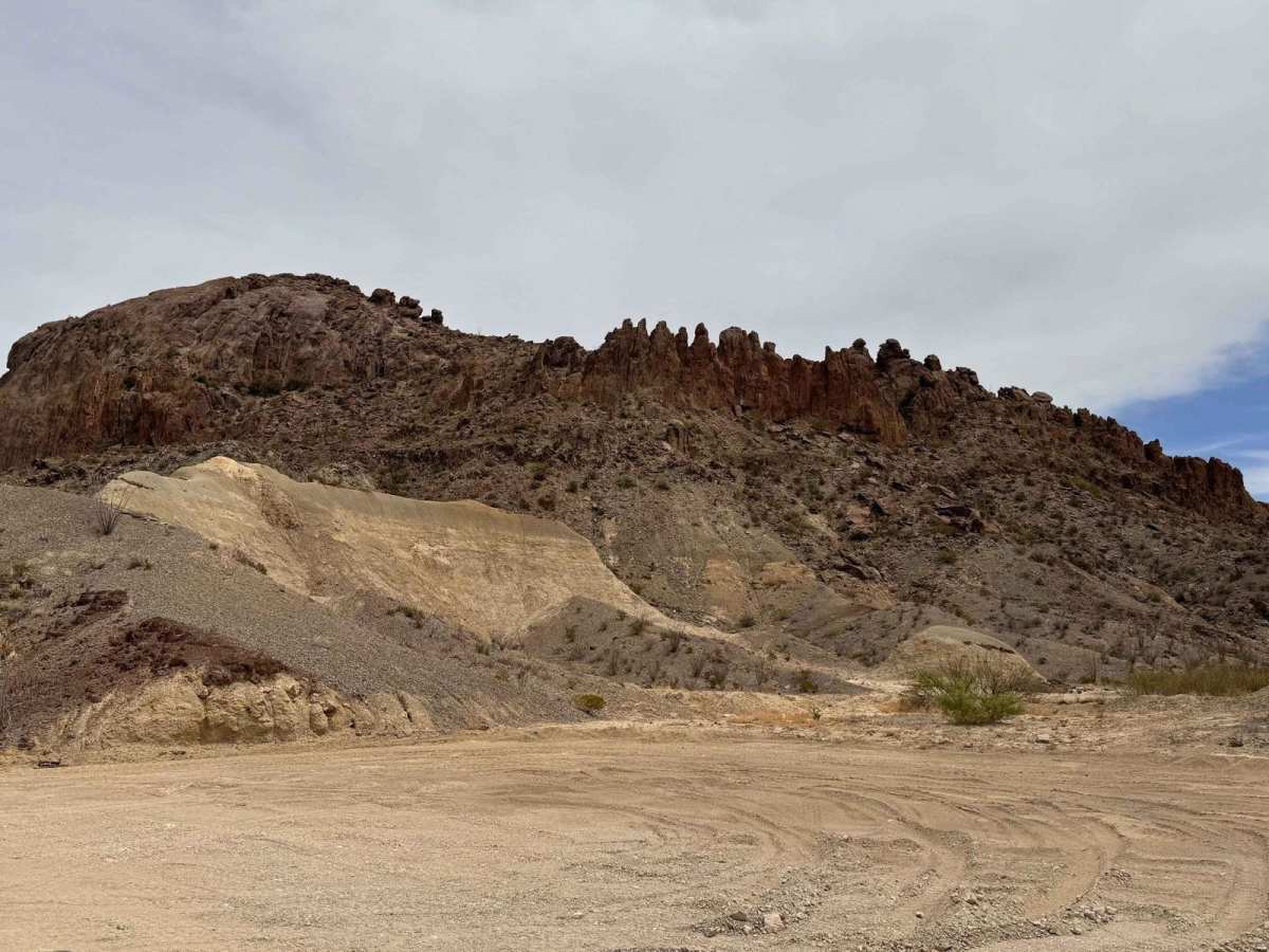
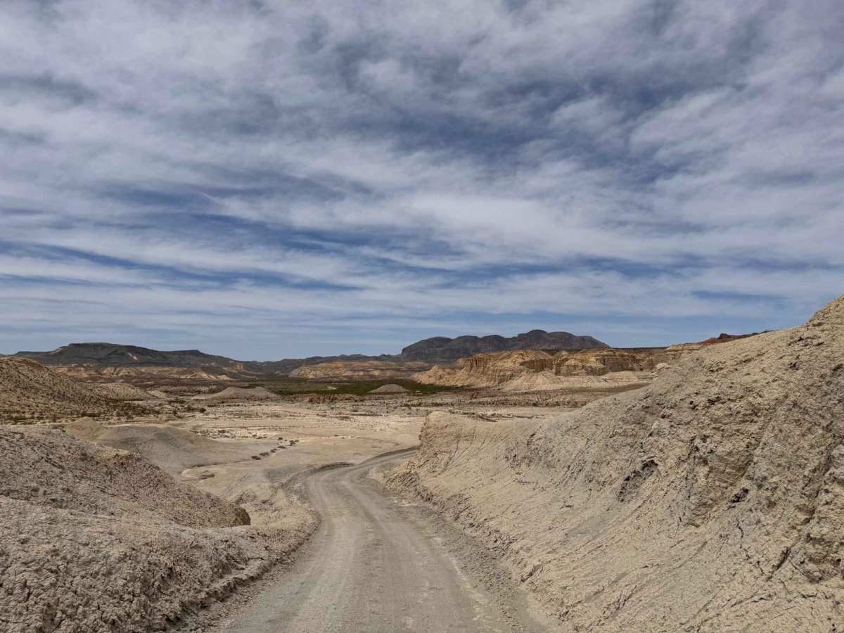
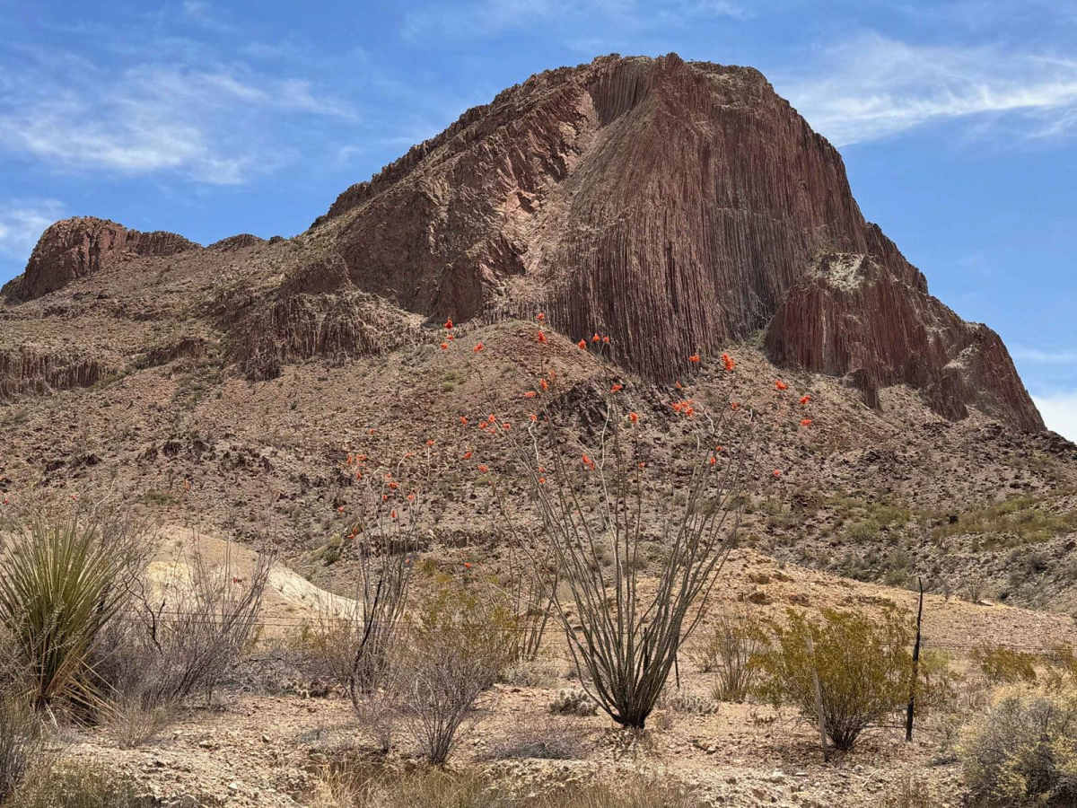
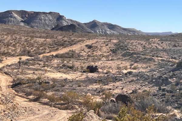
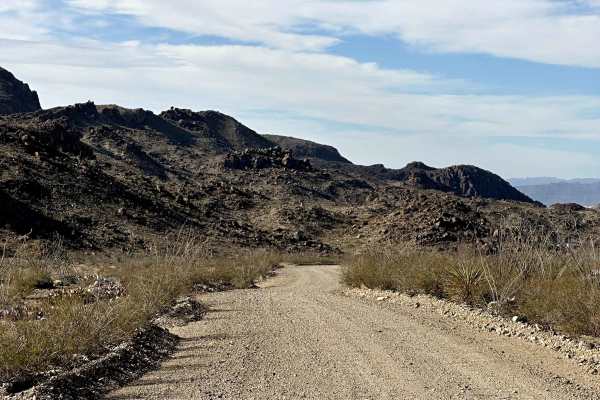
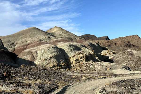
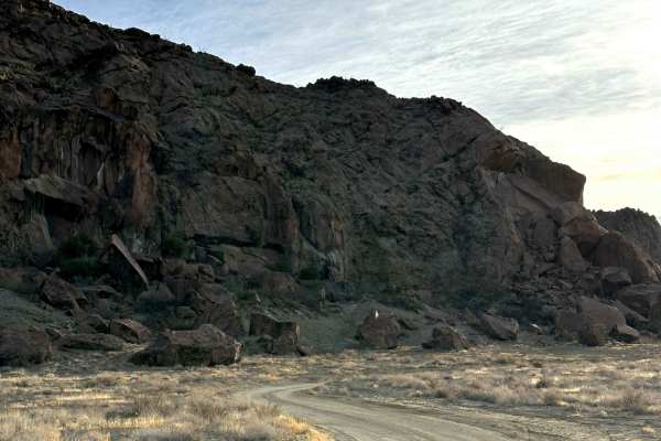
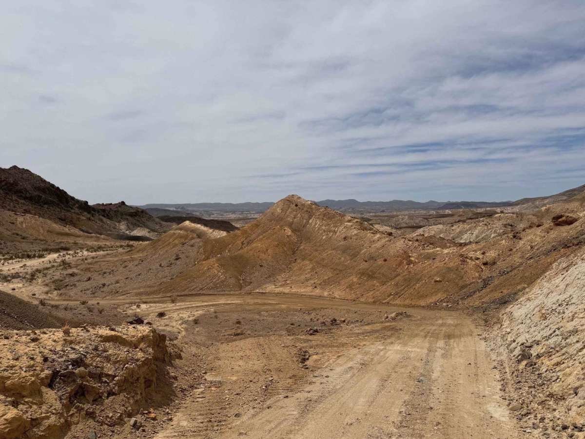
North County Road is one of only a few publicly accessible roads in the magnificent Terlingua Ranch Subdivision. Being a county road, it is fairly well-maintained and smooth with no need for 4WD or high clearance. North County Road, however, has some spectacular desert scenery and follows along Terlingua Creek for much of the route. Be careful after rain storms due to extreme mud and slick conditions. Like every road in the Big Bend area, it is remote with little help available. Be sure to bring plenty of water, especially during the summer season.

Photos of North County Road

Difficulty

North County Road is county maintained and smooth for most of the road. Mud will be a real problem, so avoid this road after a rain.

Technical Rating

1

Status Reports

Add Status Report
Josh Austin
Dec 06, 2025
Permanently Closed
Posted Private Property
On the south side coming from South County Road there is a private property no outlet sign.
John Matthews
Mar 29, 2025
2024 Ford Ranger
Permanently Closed
Locked GatePosted Private Property
Fun trail but was gated with a lock halfway through. Big sign saying Private Property No Outlet.
Steven
Mar 05, 2025
2022 Ford Bronco
Permanently Closed
Posted Private Property
Trail was closed where South County and North County meet. Big sign saying Private Property No Outlet.
Glen Rollins
Jun 29, 2024
Temporarily Closed
Closed GatePosted Sign
Fun trail to go down but it was closed off little less than half way

North County Road Trail can be accessed by the following ride types:

  • High Clearance
  • Full Width

North County Road Map

The onX Offroad Difference

onX Offroad combines trail photos, descriptions, difficulty ratings, width restrictions, seasonality, and more in a user-friendly interface. Available on all devices, with offline access and full compatibility with CarPlay and Android Auto. Discover what you're missing today!

Open Trail Map