Trail Overview
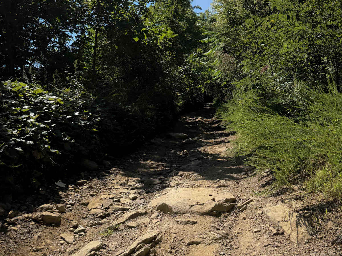
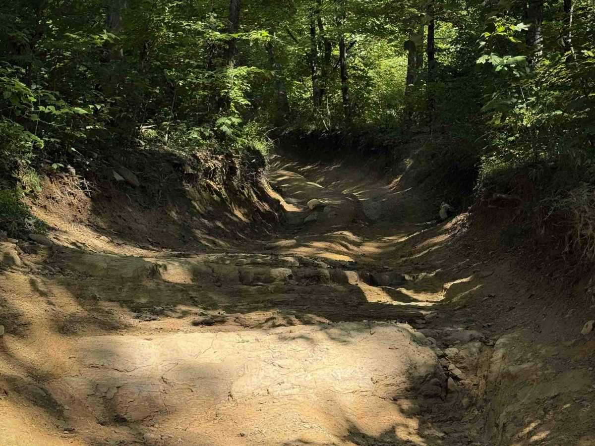
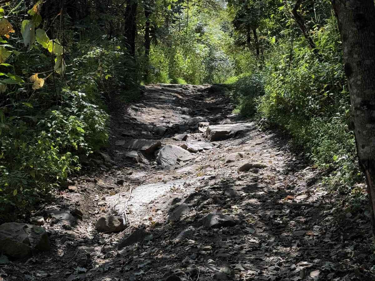
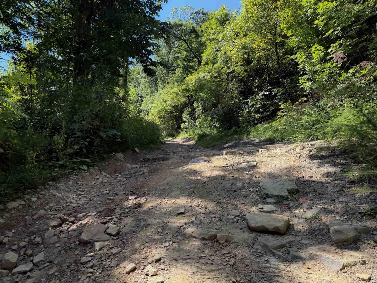
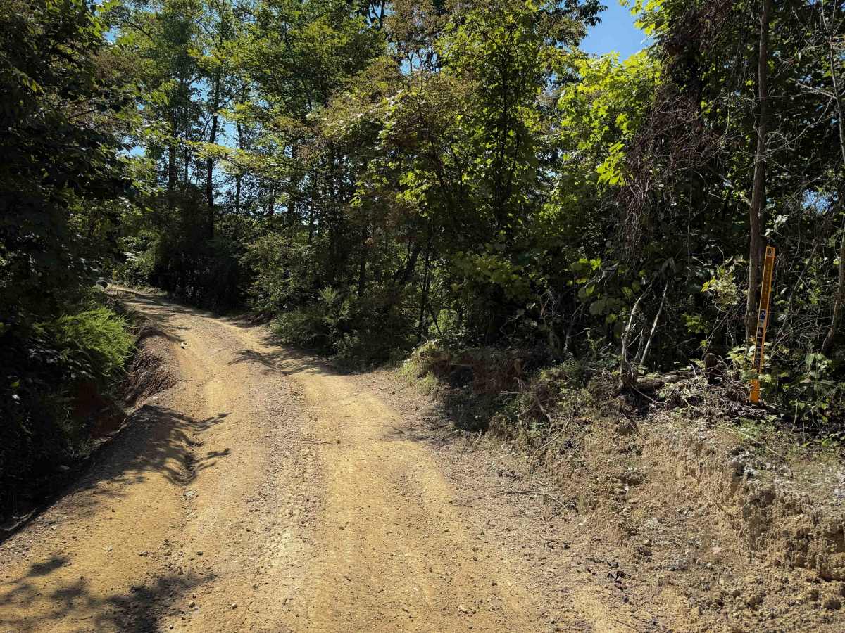
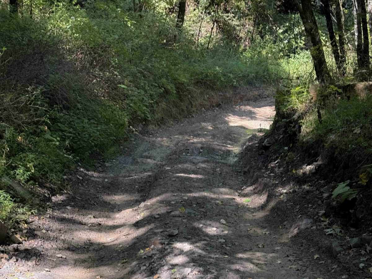
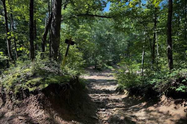
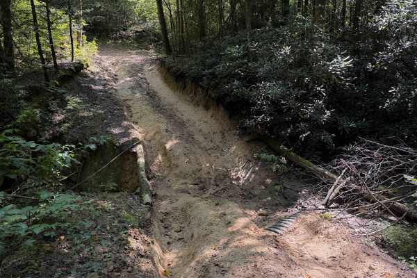
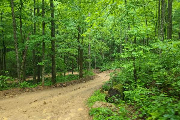
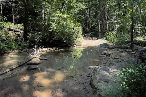
Top of the World is a steep off-highway vehicle trail within the Sundquist Unit of the North Cumberland OHV Riding Area, near LaFollette, Tennessee. There is often a deep rut to the side of the trail, off-camber sections, and shallow ruts filled in with loose rocks, making it an intermediate route. The trail is a mix of clay and dirt that turns into slick and greasy mud when wet. The trail has several spots with embedded rock layers, such as short ledges or small boulder faces in the trail. The entire 1.1-mile-long route is steep, gaining over 700 feet of elevation throughout the climb. The north half is the steepest and will likely have deep ruts. Expect humps and dips and mud puddles, and watch out for slippery roots. The trail has narrow sections between the bushes and limited width during deeply troughed sections, where the trail is dug out 5+ feet below the forest floor, and will be impassable for wider vehicles between the tall dirt walls. There are some wider sections that are more open and sun-exposed on the hilltops that are flatter and less muddy.
Difficulty
This is rated Moderate by the Cumberland Wildlife Management Area. It has frequent intermediate features such as deep ruts and trenches, mud holes, off-camber slopes, and short rock ledges.