R69

Total Miles0.6
Technical Rating
4Moderate
Best TimeSpring, Summer, Fall
Trail TypeFull-Width Road
Accessible By
Open Trail Map

Trail Overview

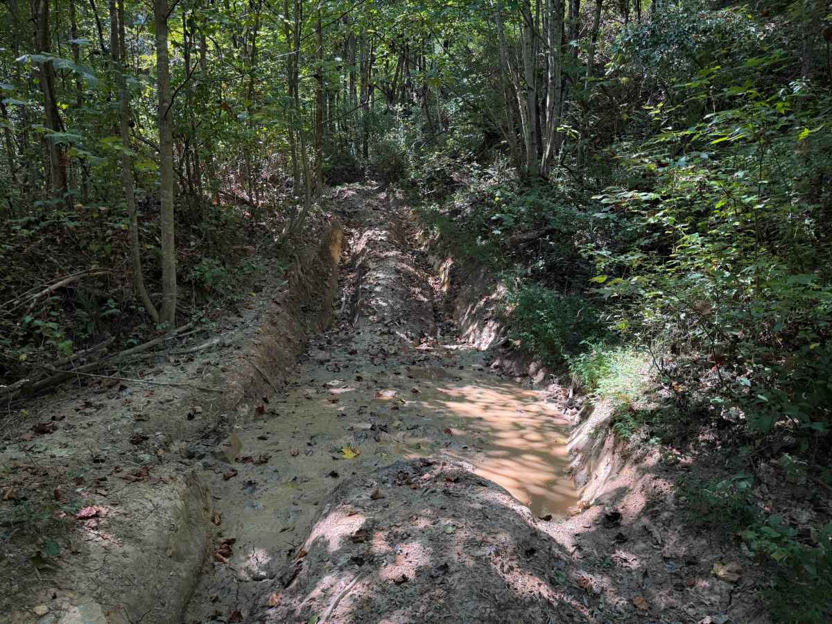
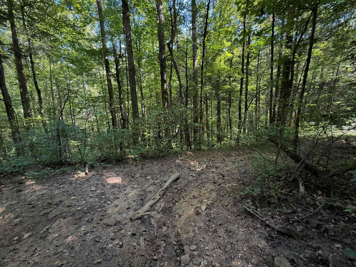
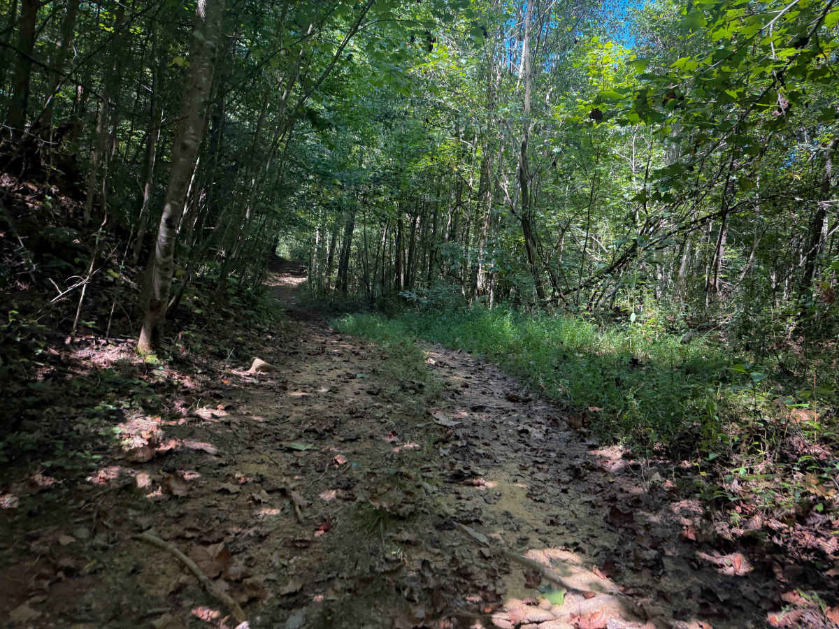
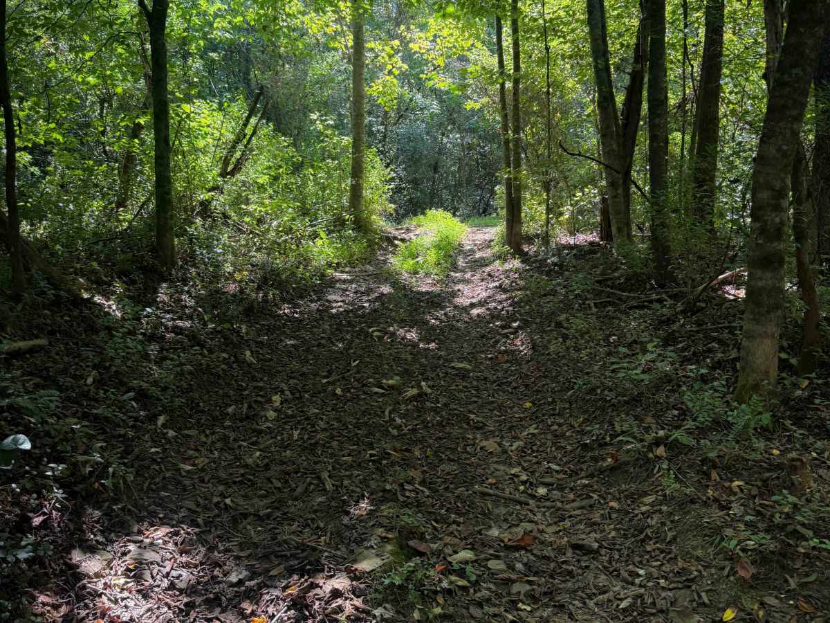
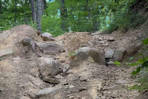
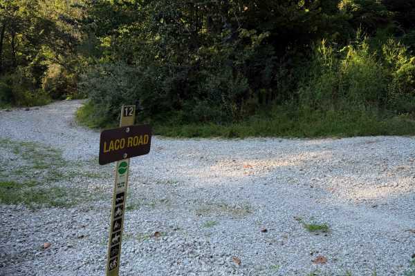
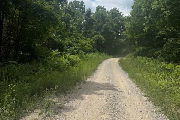
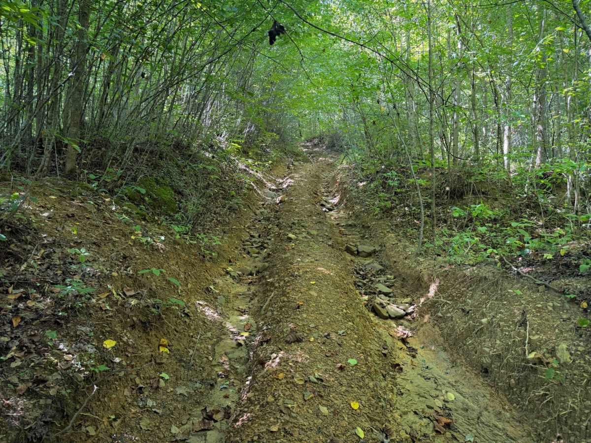
R69 is a primitive half-mile-long spur trail off of Laco Road, in the North Cumberland OHV Area. It is overgrown and narrow, on wet, clay-like dirt, with a few shallow puddles and small branches down in the trail. It goes through a dark, dense, and shaded forest, with unmarked intersections. The route is unmarked and does not have a width designation at either entrance, but is most appropriate for ATVs and UTVs, especially due to low overhead clearance in the trees. There are small loose rocks in the trail that can be slippery, and some deeper ruts in a semi-steep climb where the trail becomes trenched out and narrow between tall dirt banks.

Photos of R69

Difficulty

This route is moderate due to a steep climb that is rutted out, muddy, trenched, and narrow. The whole route is tight and overgrown between the bushes and is most ideal for ATVs and UTVs.

Technical Rating

4

R69 Trail can be accessed by the following ride types:

  • Single Track
  • 50 Inch
  • 60 Inch
  • High Clearance
  • Full Width

R69 Map

The onX Offroad Difference

onX Offroad combines trail photos, descriptions, difficulty ratings, width restrictions, seasonality, and more in a user-friendly interface. Available on all devices, with offline access and full compatibility with CarPlay and Android Auto. Discover what you're missing today!

Open Trail Map