Trail Overview
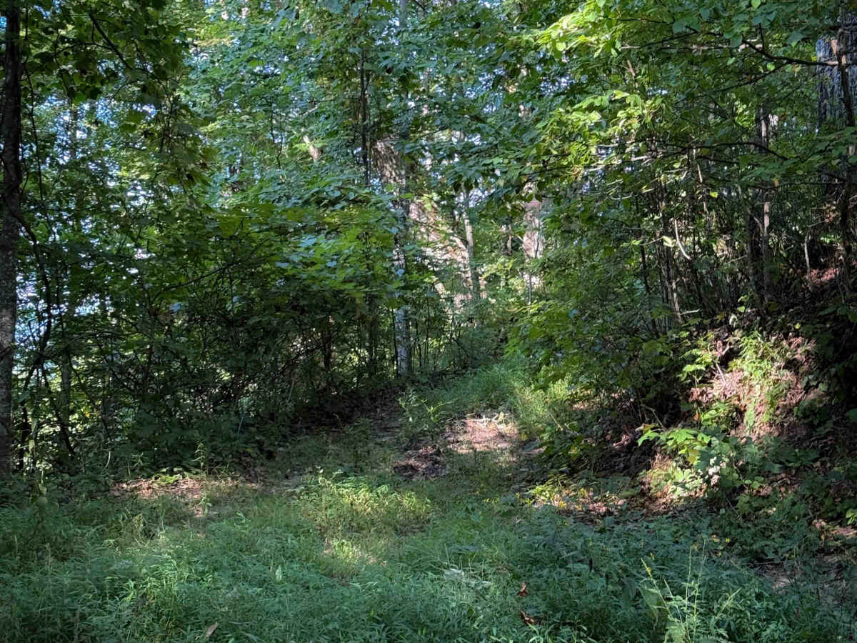
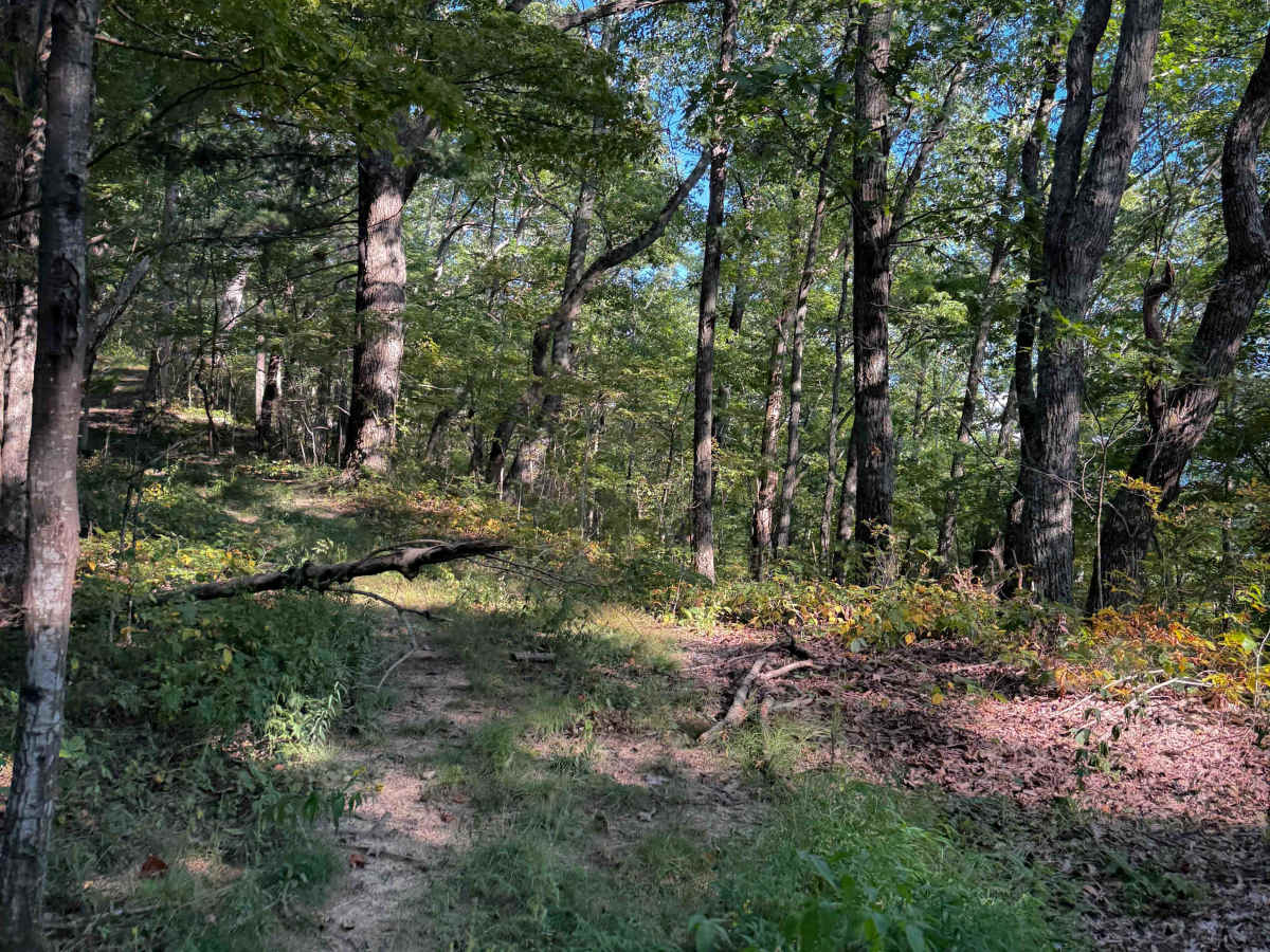
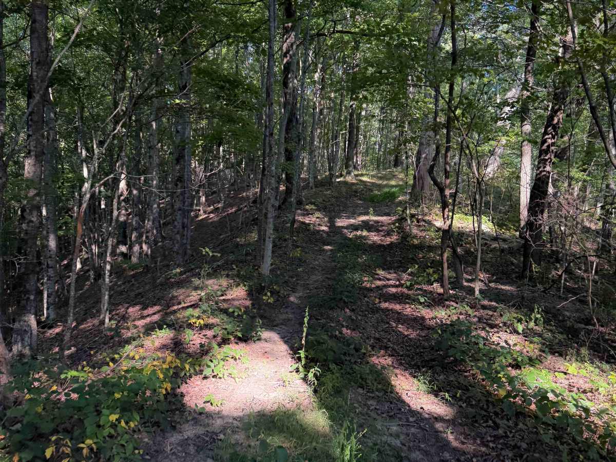
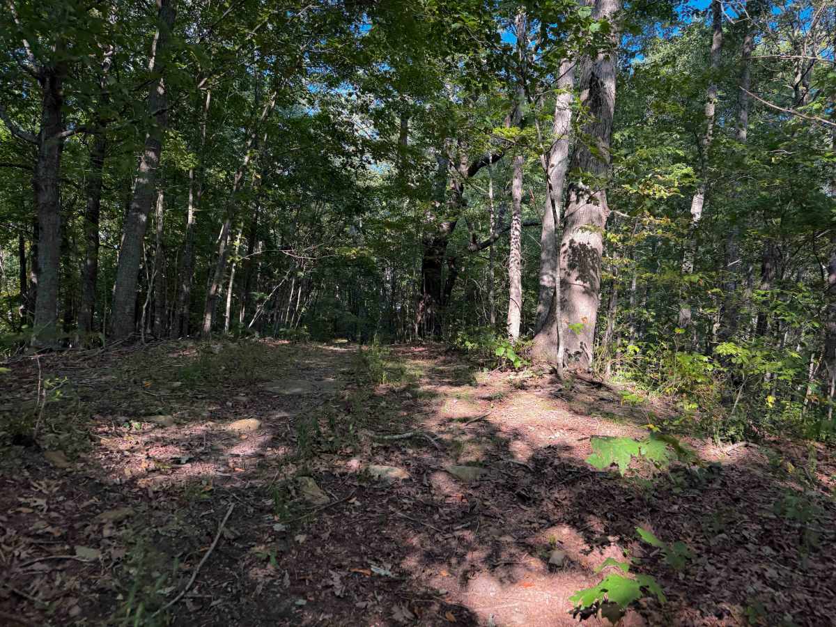
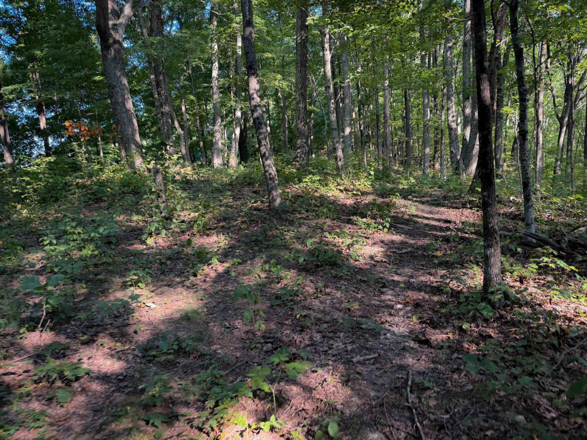
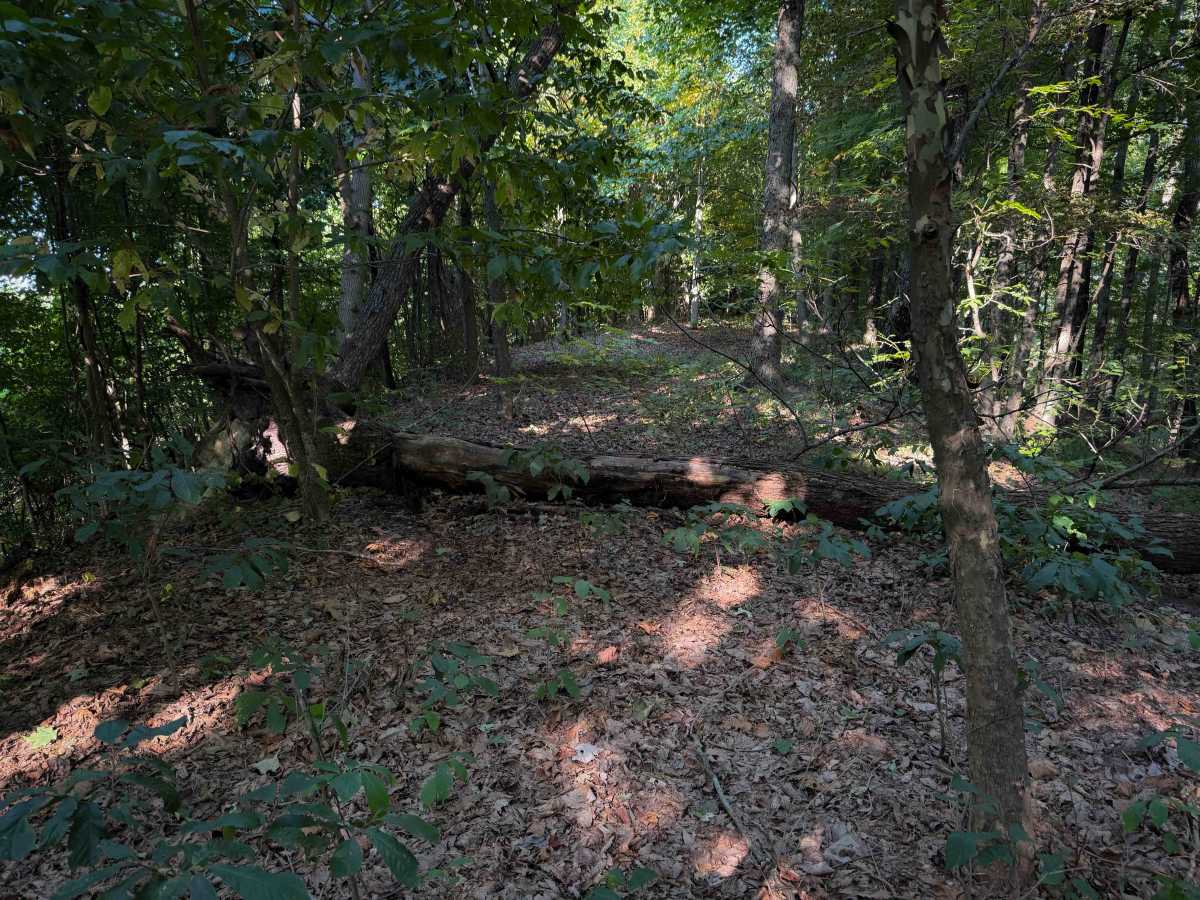
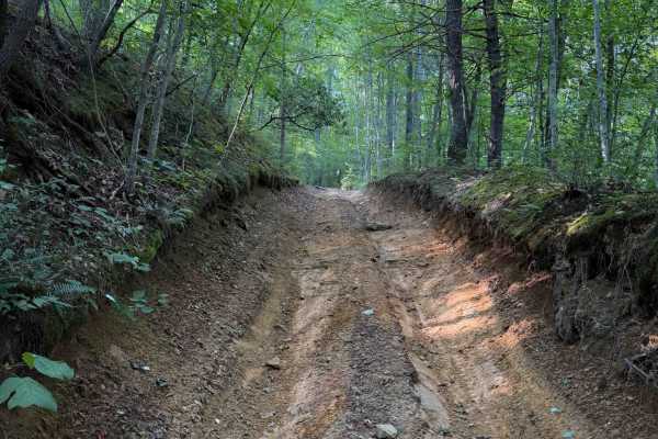
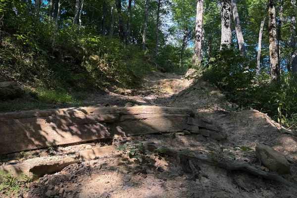
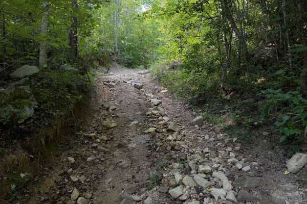
R51 is a primitive out-and-back spur off of the R50 road. It starts at a big mossy rock formation and continues to the left of the rock on a narrow shelf road that turns into a ridgeline. The trail is lightly trafficked and is mostly overgrown with grass and eventually becomes hard to follow. There are skinny trees lining the path or in the middle of the path that vehicles will have to weave around, that make it too narrow for most vehicles. It’s most appropriate for 50-inch vehicles or dirt bikes. The trail starts to steeply climb up the primitive route, pushing through lots of overgrown branches. There are a couple of big logs down at the top of the climb, on the hilltop, that may make it impassable for most vehicles. It does continue past the logs on the narrow ridgeline, but becomes super narrow, with nowhere to turn around, and eventually dead-ends after 0.7 miles.
Difficulty
Although there is no width designation sign at the beginning of the trail, this trail is most appropriate for ATVs or dirt bikes looking for extra exploration, because it becomes very narrow and overgrown, with limited or no turnarounds. It has narrow spots, logs, and overgrown vegetation, plus a steep climb.