Trail Overview
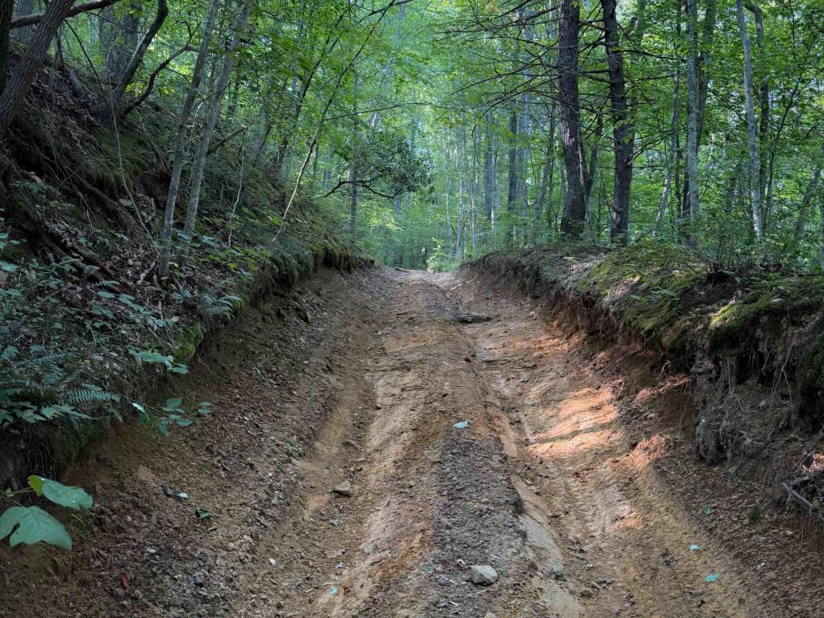
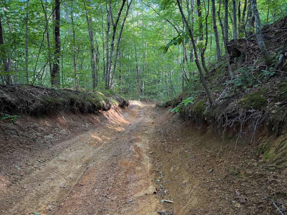
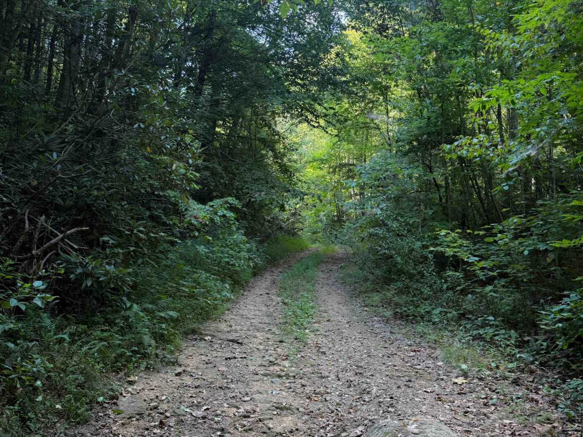
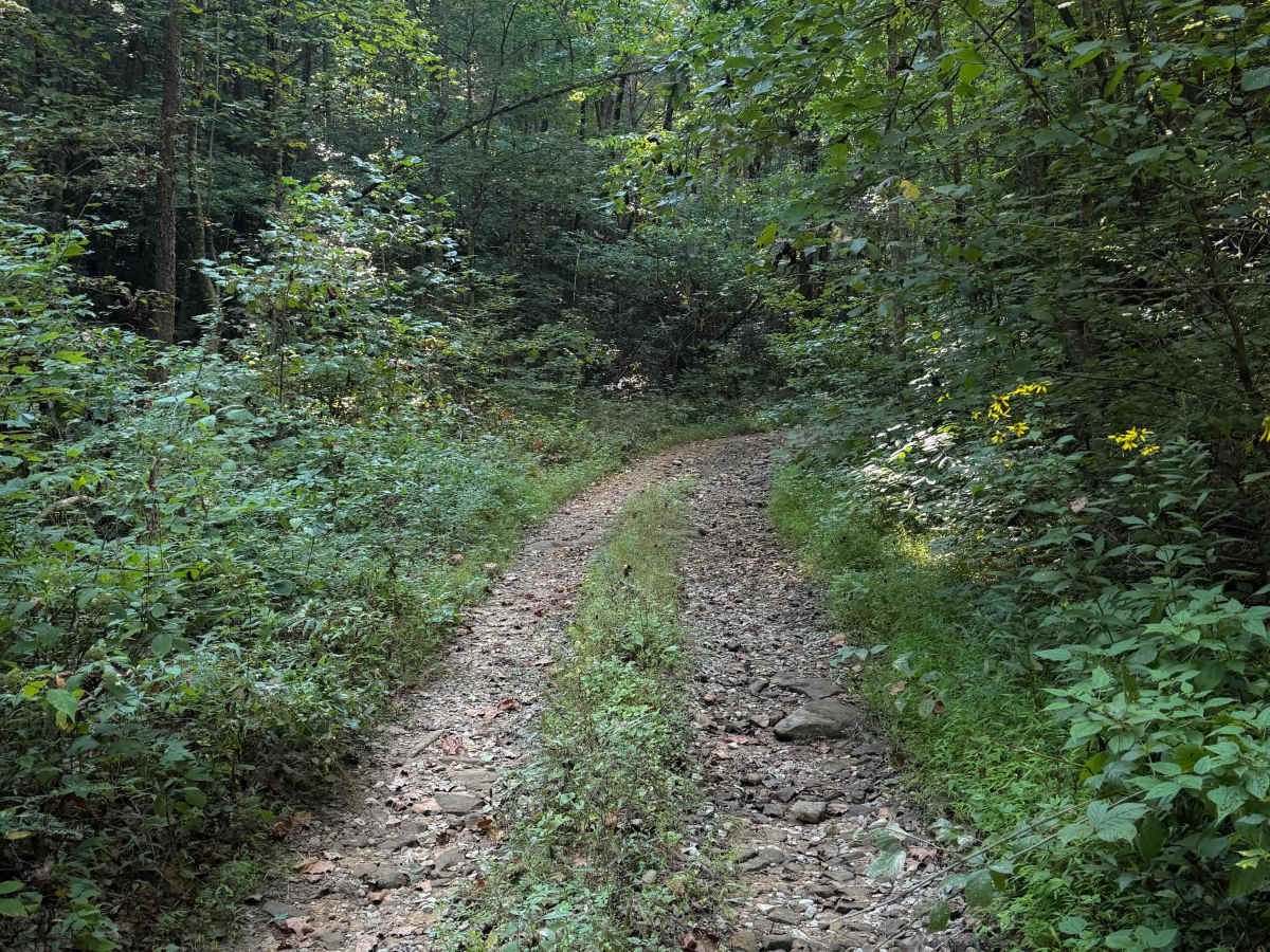
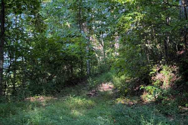
Bowling Branch Trail is a moderately technical creekside route in the North Cumberland OHV Riding Area’s New River Unit, best suited for riders who want a challenging forest trail without the extreme obstacles found on the system’s most difficult routes. Starting near Bowling Gap in Scott County, Tennessee, the trail follows the drainage of Bowling Branch Creek as it works southeast through dense Appalachian hardwood forest. The natural surface consists of packed dirt mixed with loose soil, embedded rock, and occasional muddy stretches that reflect the rugged terrain typical of many OHV trails in the North Cumberland Wildlife Management Area. Frequent elevation changes and uneven tread keep the route engaging, while narrow sections and ruts require careful throttle control and good line choice for ATV and OHV riders navigating the corridor.
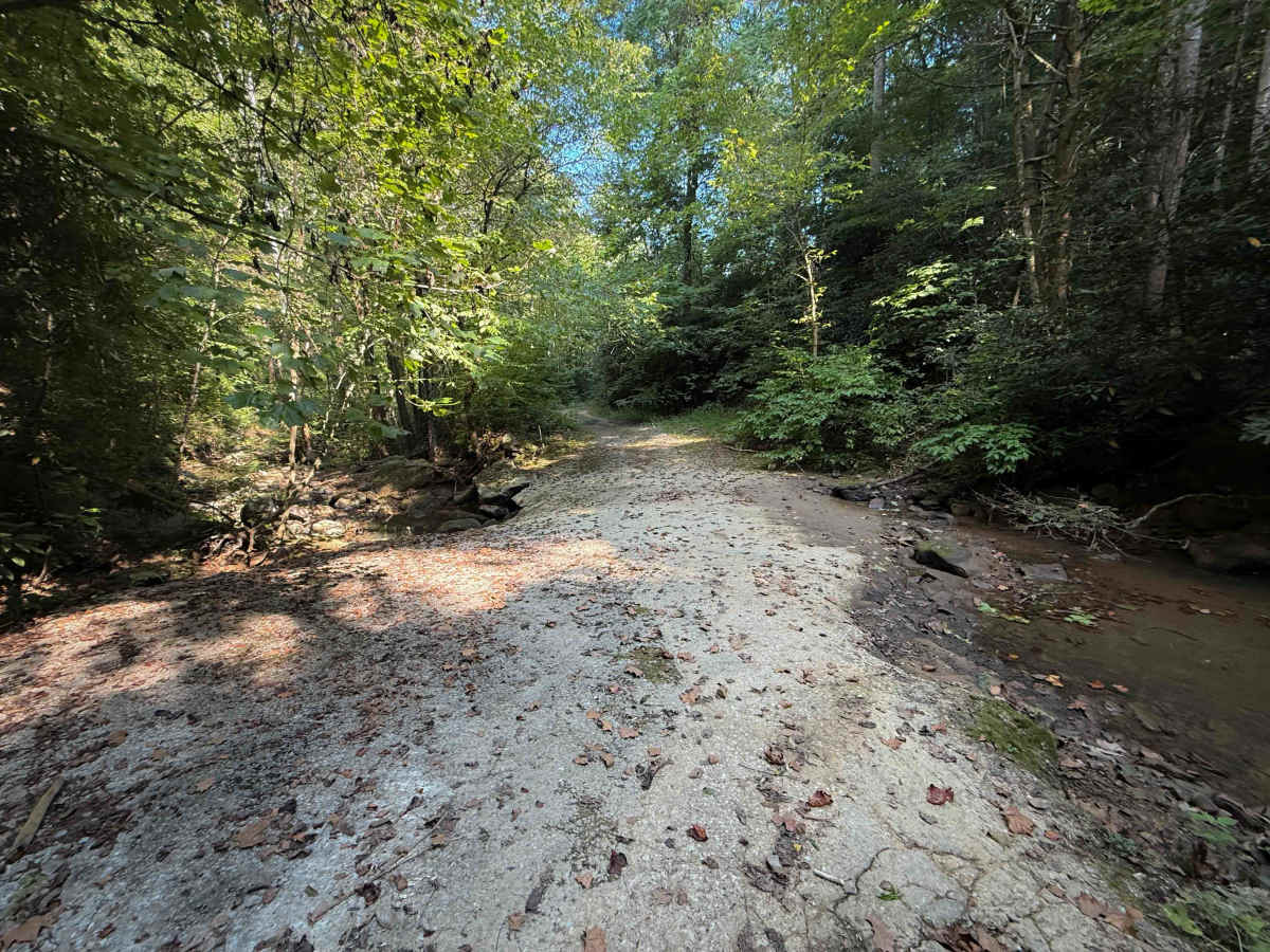
As the trail parallels Bowling Branch Creek, riders will encounter sections where water runoff, erosion, and small creek crossings influence the trail surface, particularly after periods of heavy rain when mud and slick rock can increase the difficulty. Rocky shelves and rutted segments appear throughout the route, adding technical variety while maintaining the more difficult rating. Bowling Branch Trail also serves as an important connector in the New River Unit, linking to Pete Hollow Trail via a northern branch and eventually intersecting Standing Stone Ridge Trail farther southeast, which can bring occasional traffic near junction points. The trail lies within the North Cumberland Wildlife Management Area and requires a valid North Cumberland OHV permit issued by the Tennessee Wildlife Resources Agency, and while the trail network is typically open year-round, seasonal weather and maintenance activities can temporarily affect conditions or access.
Difficulty
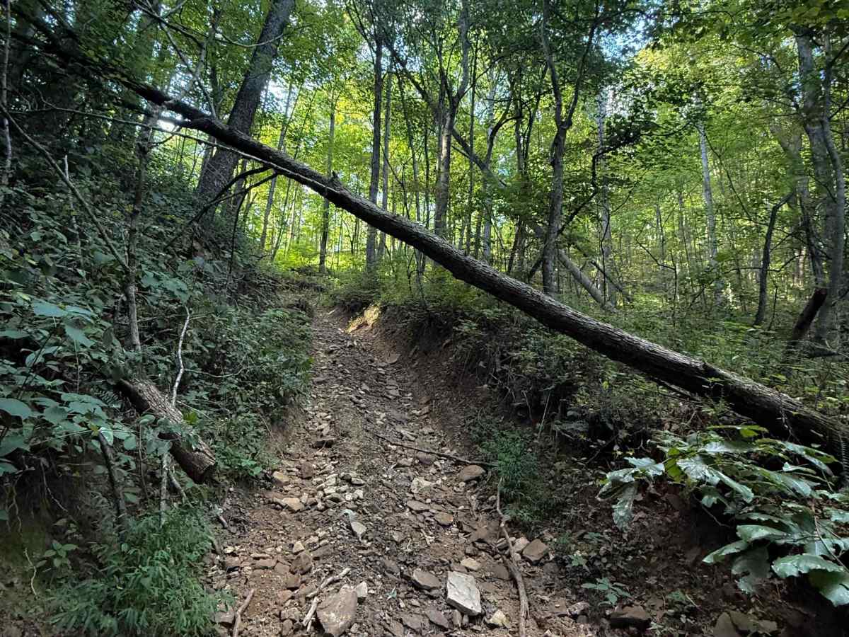
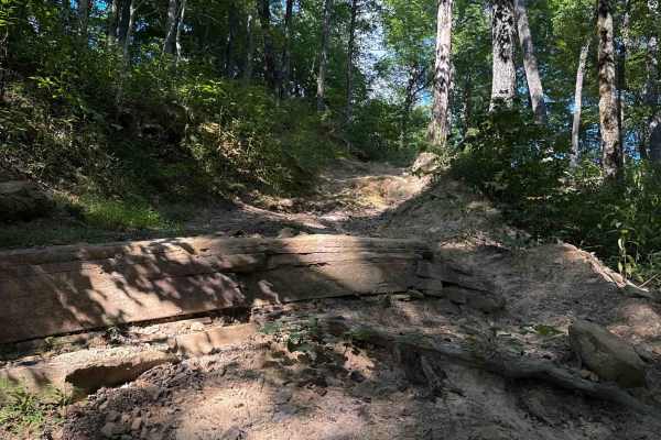
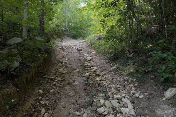
This is an intermediate trail due to narrow sections, steep rutted climbs, short embedded rock ledges, and little rocky stream crossings. Conditions can change when wet.