Pete Hollow Trail

Total Miles0.8
Technical Rating
5Moderate
Best TimeSpring, Summer, Fall
Trail Type60" Trail
Accessible By

Open Trail Map

Trail Overview

Pete Hollow is a moderate off-highway vehicle trail within the North Cumberland off-highway vehicle Riding Area. It climbs steeply from south to north, connecting Bowling Branch Trail to the R50 Road. It gains almost 700 feet of elevation over .8 miles, on a rutted climb. The trail surface is a mix of dirt and clay that can get really greasy and slippery when wet, creating big trenches when ridden. The trail gets rockier as it keeps going north, with big loose rocks filling in the ruts and testing your traction. It continues climbing as a shelf road that can be narrow in spots.

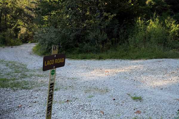
Photos of Pete Hollow Trail

Difficulty

This is a moderate route due to steep and deeply rutted climbs with lots of loose rock. The trail is narrow and troughed out at times, and can be very slick when wet.

Technical Rating

5

Pete Hollow Trail Trail can be accessed by the following ride types:

  • Single Track
  • 50 Inch
  • 60 Inch

Pete Hollow Trail Map

The onX Offroad Difference

onX Offroad combines trail photos, descriptions, difficulty ratings, width restrictions, seasonality, and more in a user-friendly interface. Available on all devices, with offline access and full compatibility with CarPlay and Android Auto. Discover what you're missing today!

Open Trail Map