Trail Overview
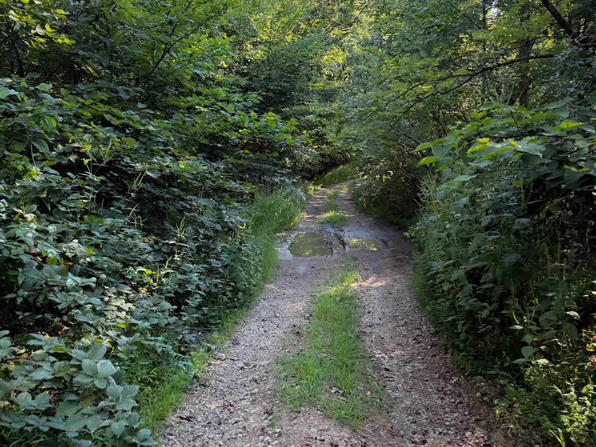
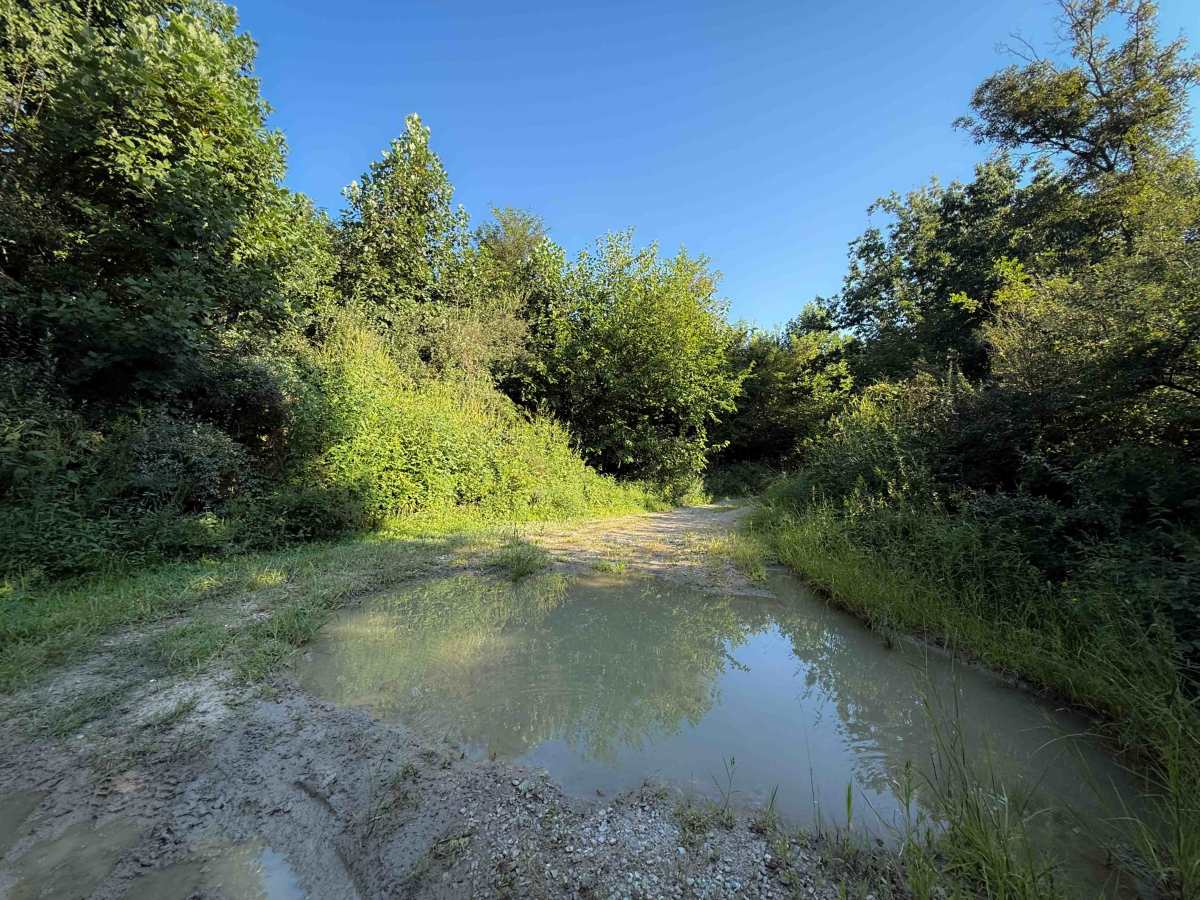
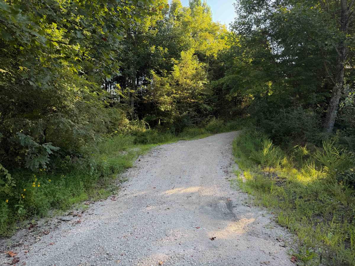
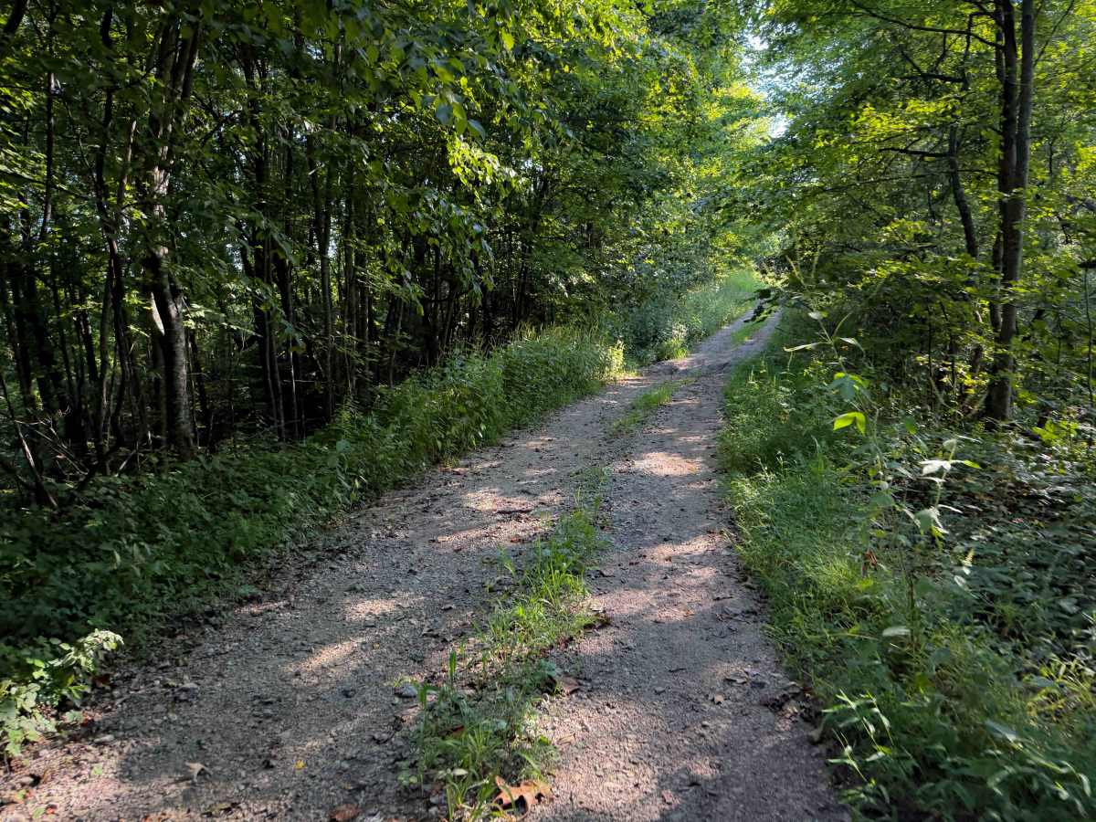
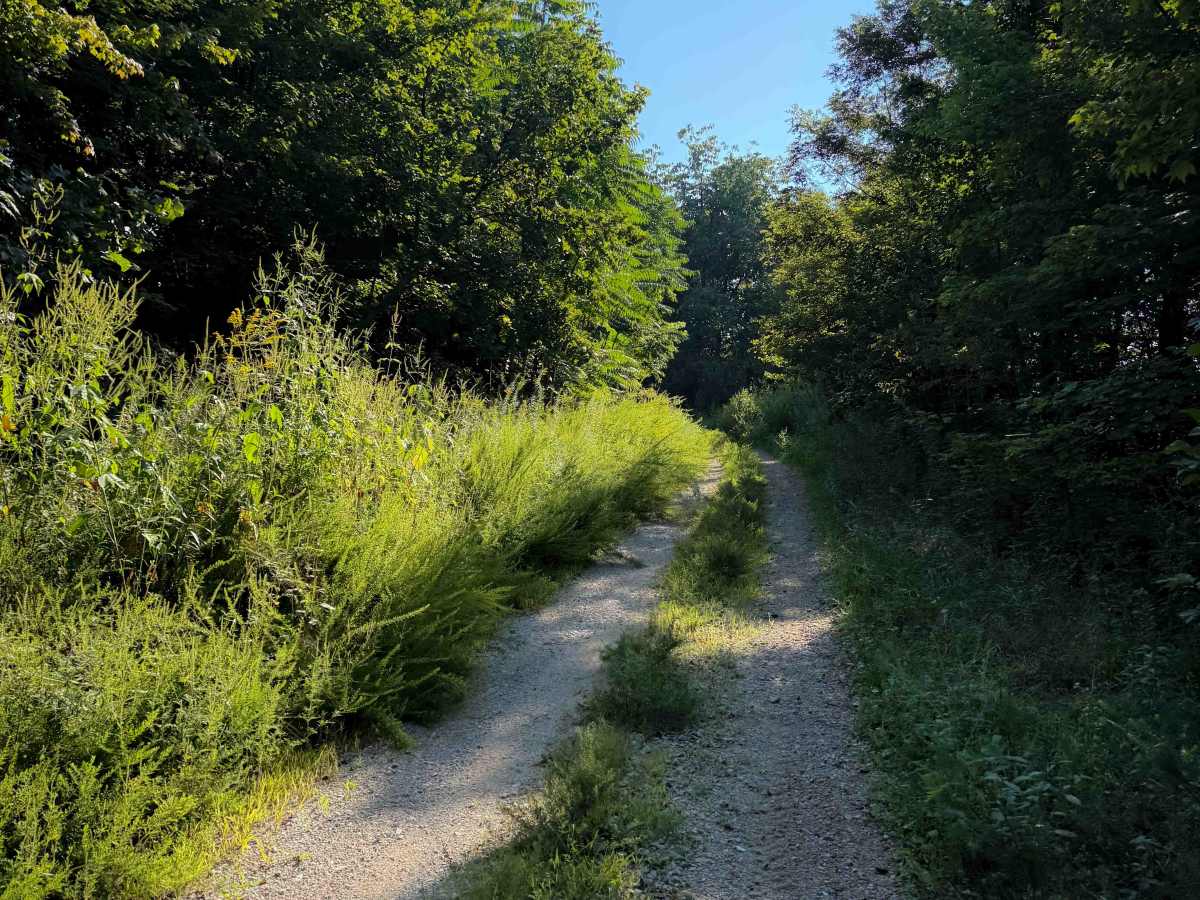
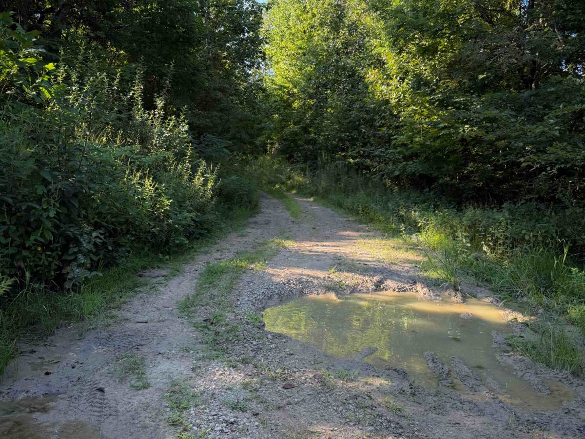
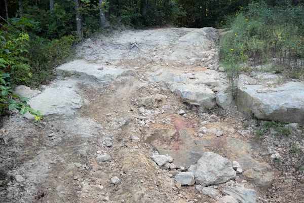
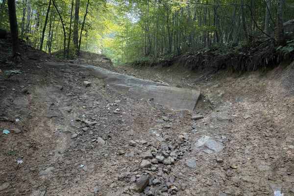
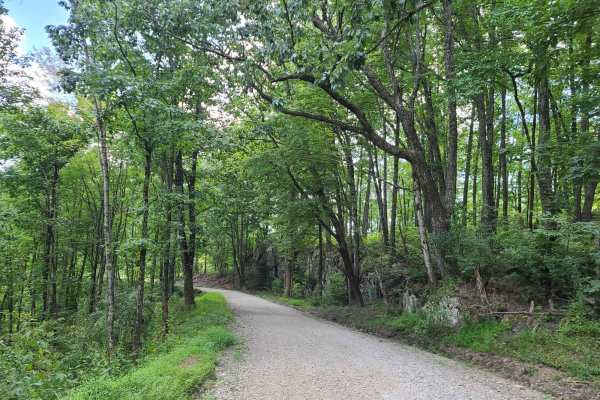
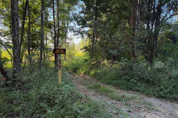
This short hunter’s access road is an unmarked and more primitive Off- Highway Vehicle trail in the Sundquist Unit of the North Cumberland Off- Highway Vehicle Riding Area. The trail starts off from the south end as a single-lane gravel road, lined with locust trees and river birch trees. Watch out for branches extending into the trail. It’s clear that the trail gets less use from the overgrown grass in the middle of the trail. There are shallow muddy ruts and a few bigger mud puddles throughout the short route. After about a half mile, with very little elevation change, it peters out into an overgrown old road full of logs and bushes where people hunt from. You can make a tiny loop at the east end of the trail through a more primitive section that gets more difficult, with big humps that need high clearance and overgrown bushes. This is a common hunters' access point with a pond nearby, and you may see other vehicles here.
Difficulty
This is an easy access road that is mostly gravel, with a few muddy ruts, puddles, and uneven ground. The end becomes impassable as it is overgrown. There is space to turn around after about a half mile.