Trail Overview
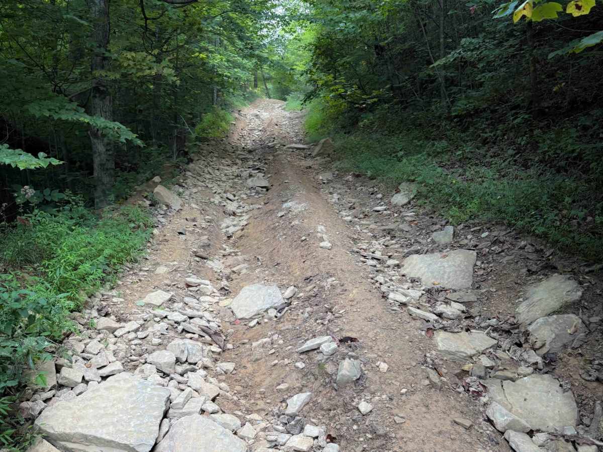
Jamie’s Loop is a moderately challenging OHV route in the North Cumberland Wildlife Management Area’s Sundquist Unit, designed for riders who want a short but engaging detour off McCormick Cemetery Road. The route branches from McCormick Cemetery Road and reconnects roughly 1.8 miles later, creating a compact loop option within the Sundquist OHV network. The trail follows a dirt and gravel corridor typical of the Cumberland Plateau, with sections that can develop loose rock, shallow ruts, and muddy patches depending on weather and trail traffic. Riders should expect a mix of gradual climbs and uneven surfaces that require moderate throttle control and basic off-road riding experience. While not especially long, the trail’s more difficult designation reflects the potential for rougher terrain compared to nearby easy routes, making it best suited for ATVs and other OHVs capable of handling variable trail conditions.
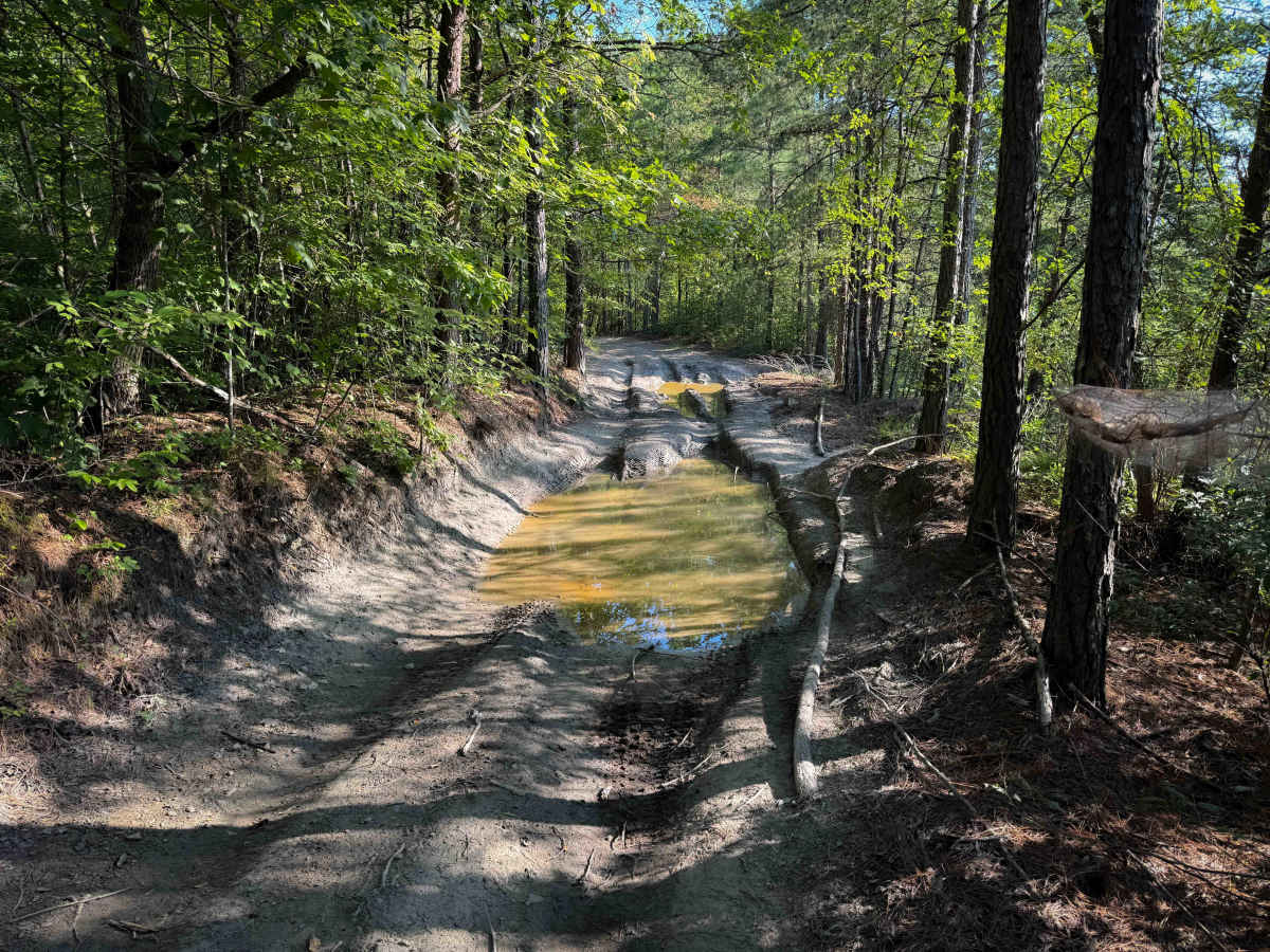
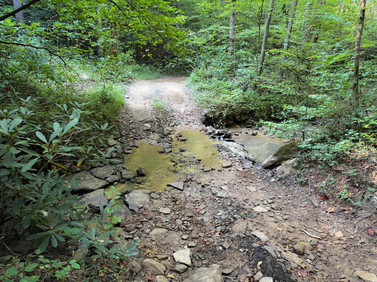
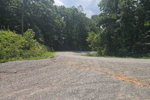
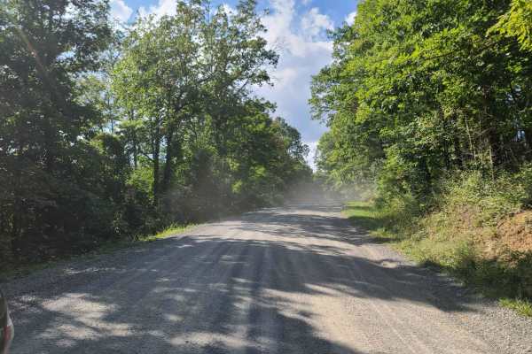
The route winds through dense hardwood forest and rolling plateau terrain, where the trail surface can shift from packed soil to looser gravel as it contours around small ridges and drainage areas. After rainfall, low spots may hold water and develop muddy ruts, while loose rock can accumulate on corners or steeper sections. Because Jamie’s Loop both begins and ends along McCormick Cemetery Road, riders may encounter OHV traffic entering or exiting the trail from either direction, especially during busy weekends in the North Cumberland OHV Riding Area. ATVs and other permitted OHVs are allowed with a valid TWRA OHV permit, and riders should plan for limited cell service across much of the Sundquist Unit. Access may be temporarily restricted during wet conditions, trail maintenance, or wildlife management operations under Tennessee Wildlife Resources Agency regulations.
Difficulty
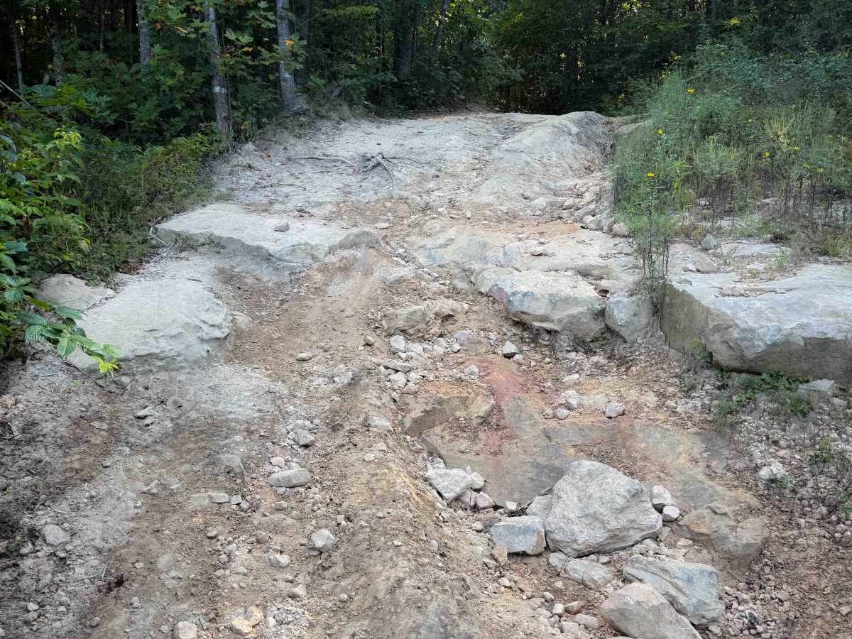
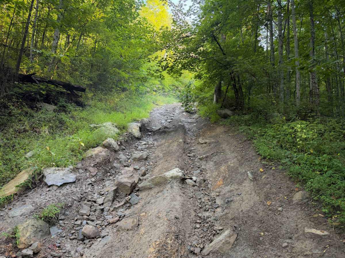
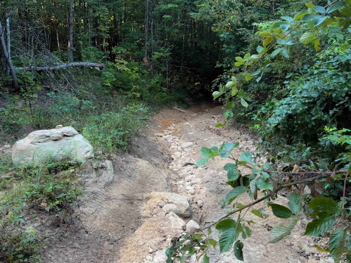
This is rated Moderate by the Cumberland Wildlife Management Area. The trail has several intermediate features such as rock ledges and deep ruts, plus off-camber slopes. Trail conditions can become even more difficult over time and in rainy conditions.

 Offroad