Trail Overview
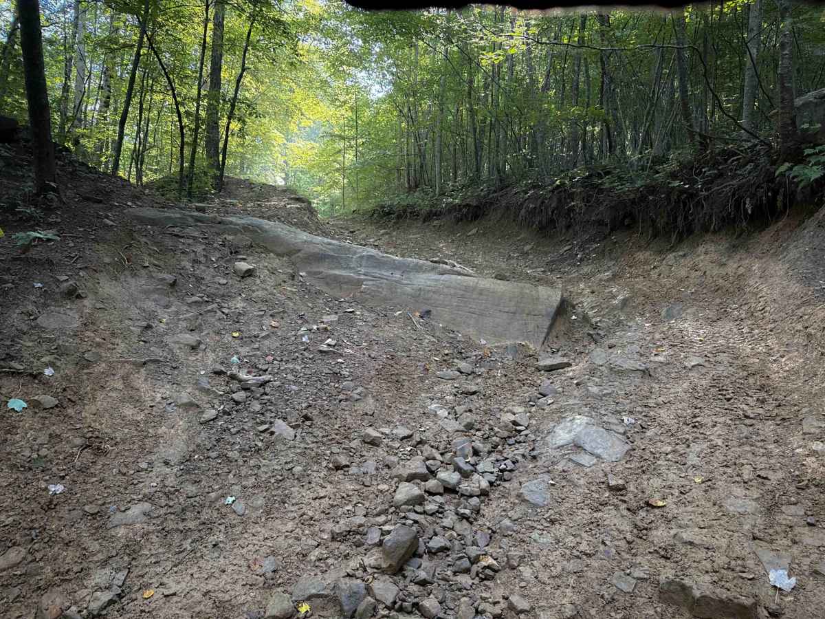
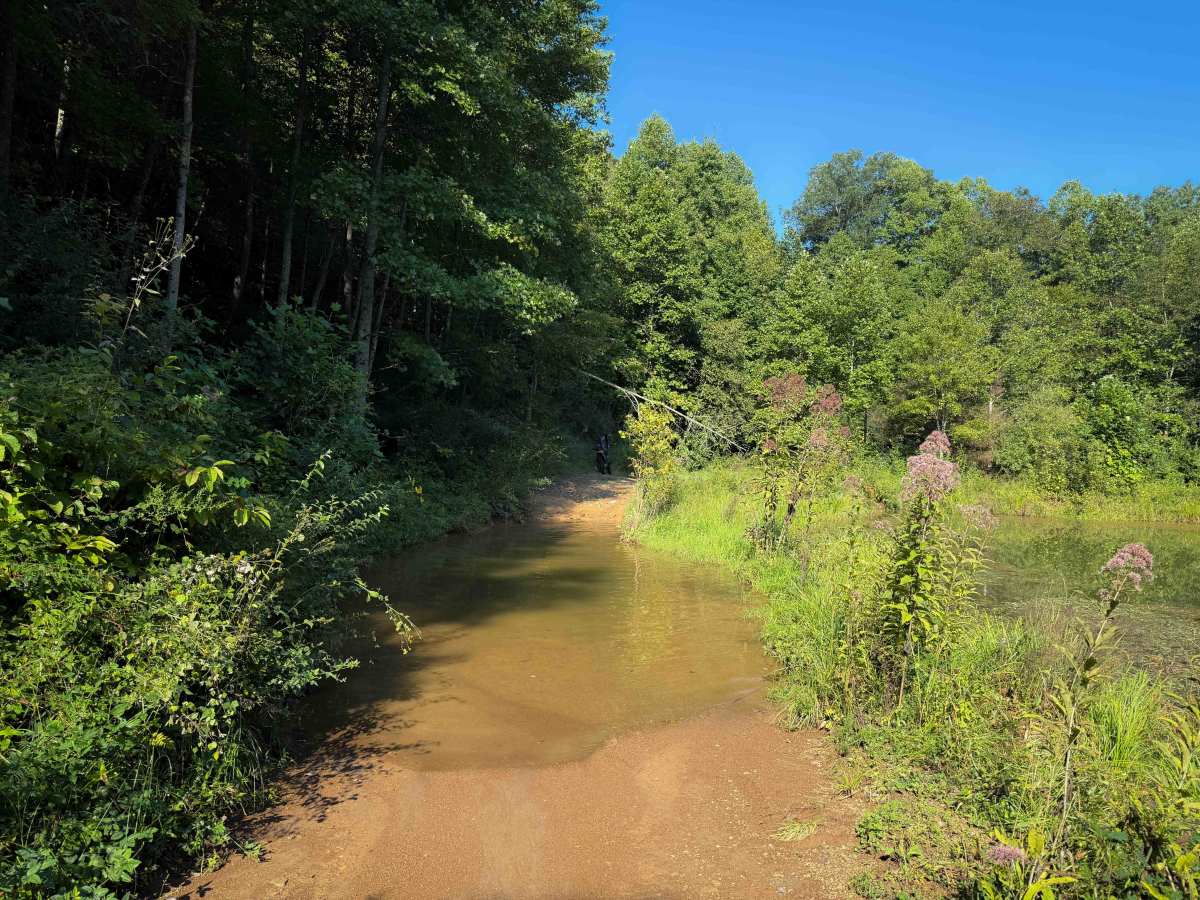
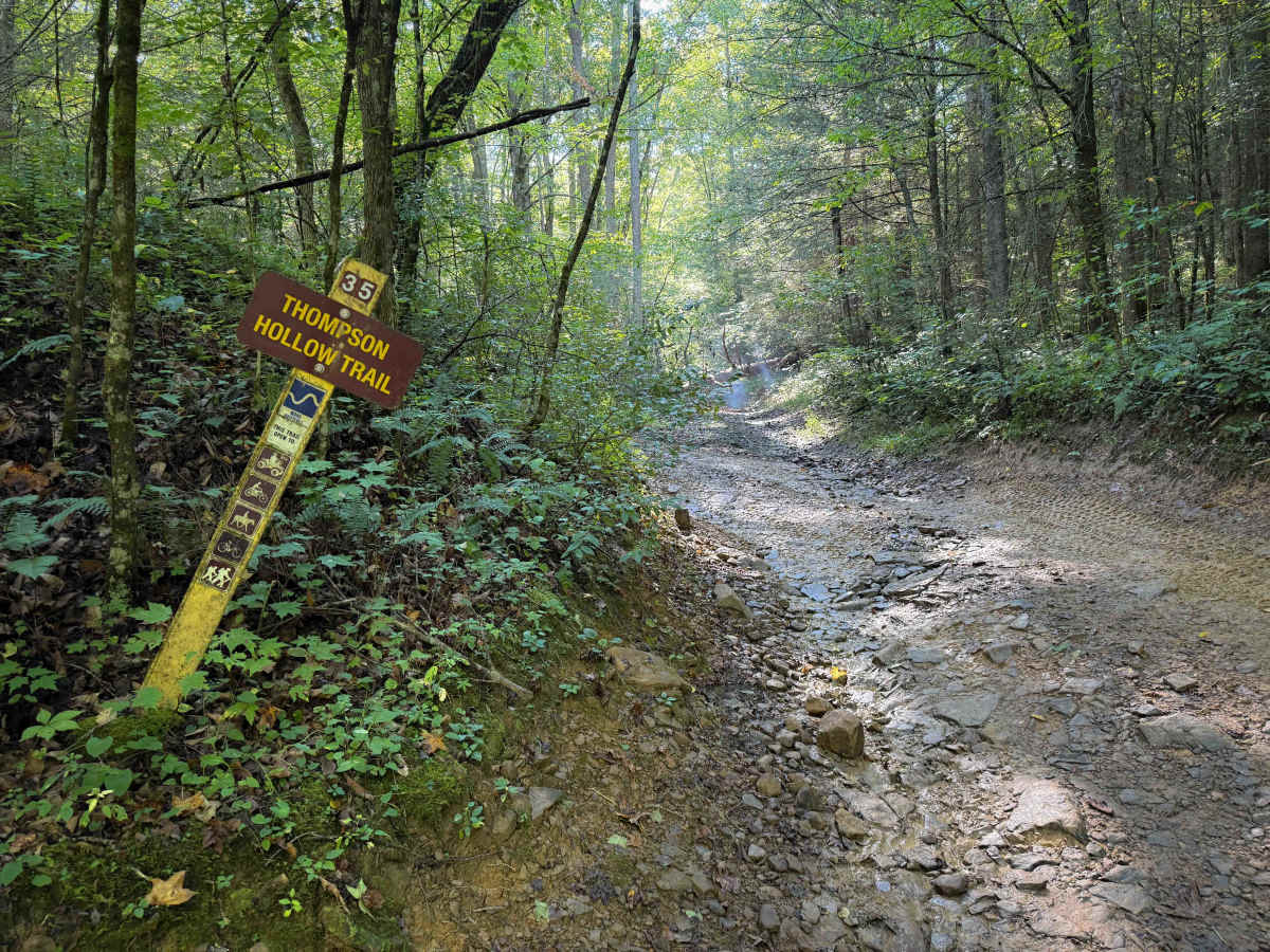
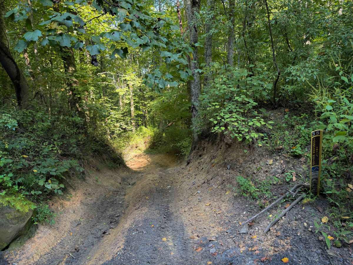
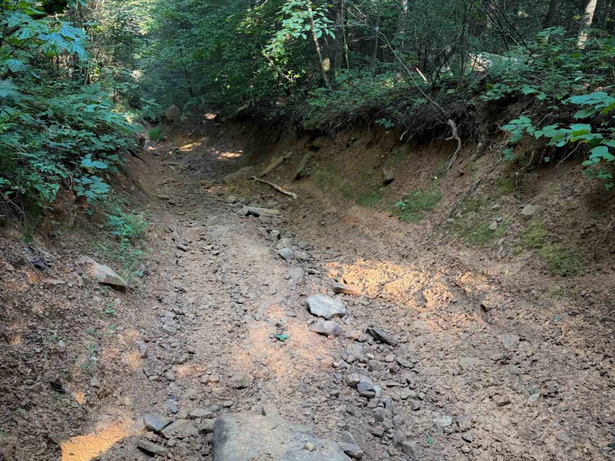
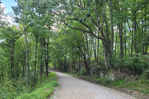
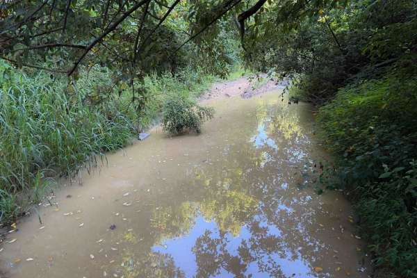
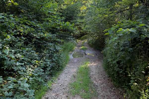
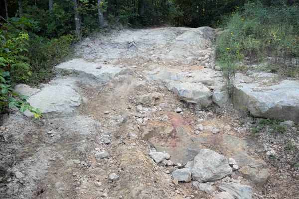
Thompson Hollow is a short connector trail within the Sundquist Unit of the North Cumberland OHV Riding Area, north of the town of LaFollette, Tennessee. The .6 mile route is a steep descent off of the Overlook Trail down a narrow quad track with several embedded boulders right away that makes it more interesting and will require some articulation. The majority of the trail is a narrow trough between tall dirt walls, dug out below the forest floor, that may not accommodate wider UTVs. The trail is made up of slick and greasy clay dirt with ruts, loose rock, and bigger embedded rock surfaces. It has shelf road sections, and drops over 400 feet throughout the short route, making it rather steep. There is one particular rock obstacle that is a pointy layer of rock embedded diagonally across the trail that will be a fun challenge. The rocks can become very slippery when wet. On the west end, the trail goes past a large pond that is overflowing into the trail like a huge mud puddle. Use caution when crossing.
Difficulty
This trail is intermediate difficulty due to frequent mud and puddle crossings, a narrow width through dug out troughs, muddy ruts, slick rock obstacles, and the potential for logs over the trail. This is rated Moderate by the Cumberland Wildlife Management Area.


 Offroad