Dry Branch Road

Total Miles3.1
Technical Rating
3Easy
Best TimeSpring, Summer, Fall, Winter
Trail TypeFull-Width Road
Accessible By
Open Trail Map

Trail Overview

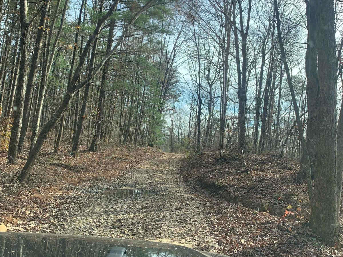
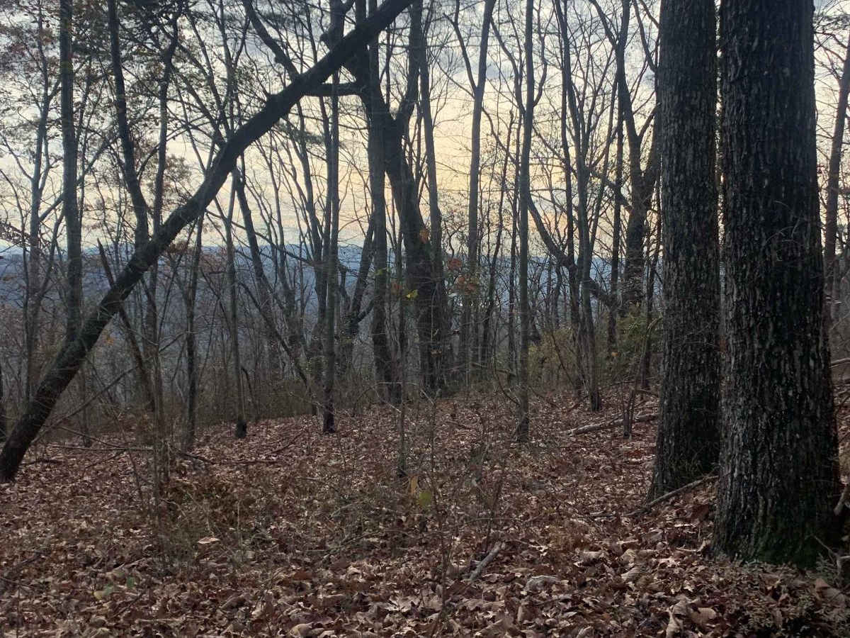
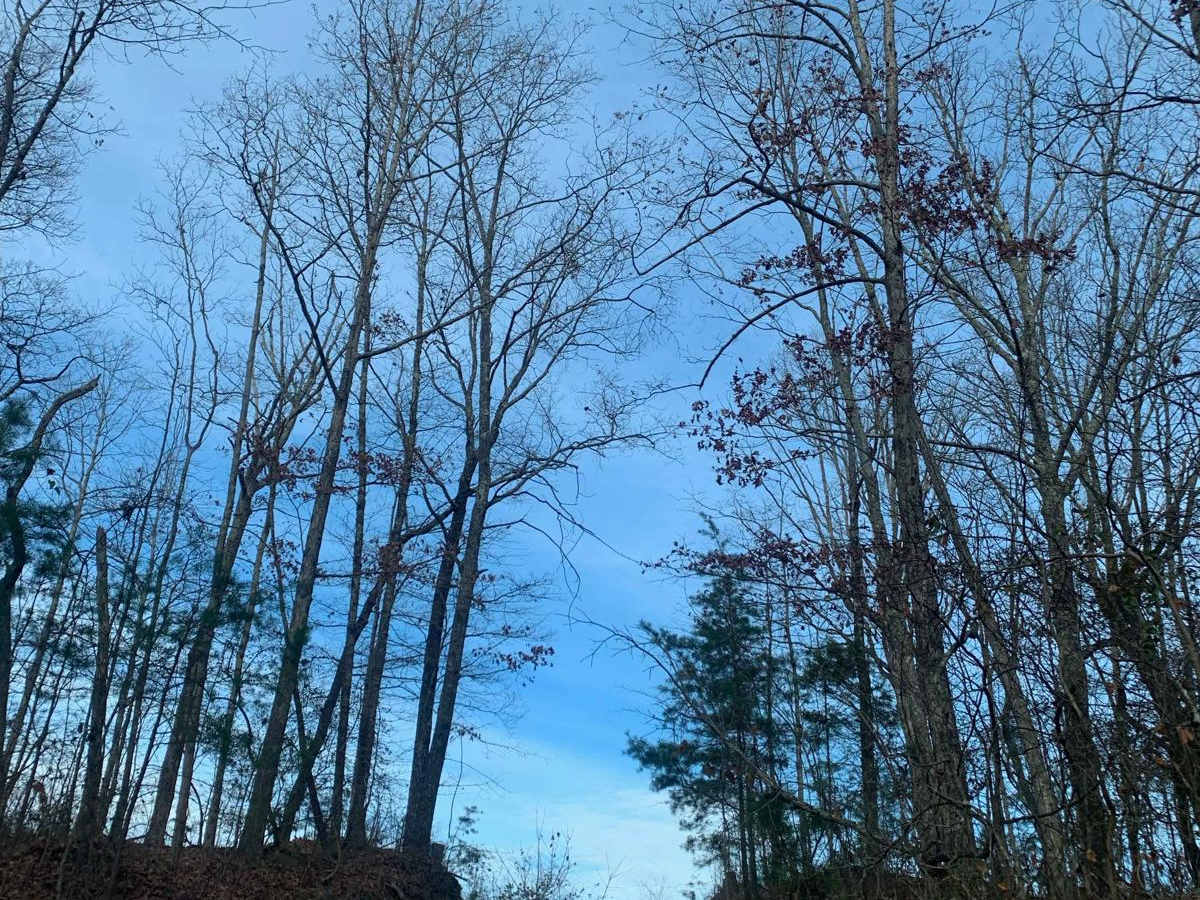
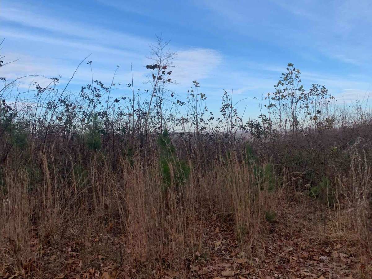
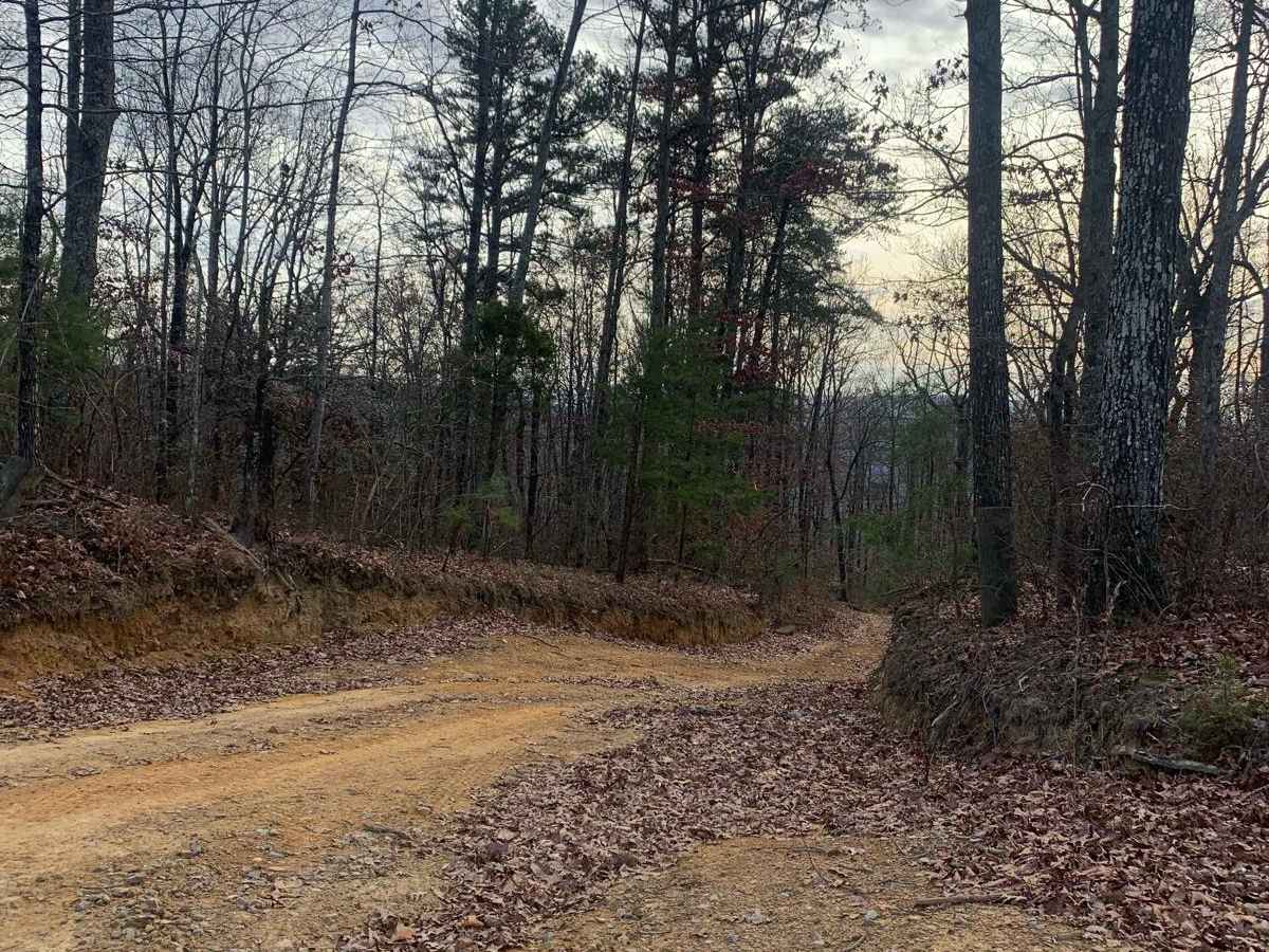
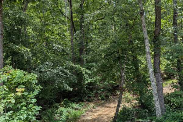
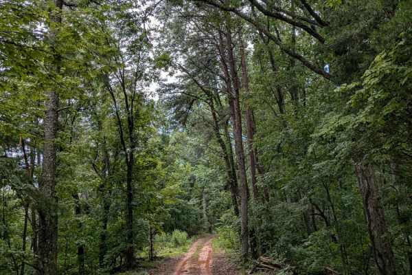
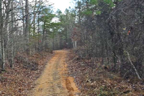
Dry Branch Road is an ideal route for offroaders seeking a scenic, moderately challenging drive through the dense canopy of Prentice Cooper State Forest. Covering approximately 3.1 miles with elevations ranging from 1,438 to 1,842 feet, this unpaved route offers stunning mountain views as it winds through the woods. The terrain consists of a narrow, mostly single-track dirt surface that accommodates two-way traffic. A high-clearance vehicle is necessary to navigate safely, and the overall difficulty can increase significantly when wet weather turns the dirt trail muddy and slick. To explore the area, drivers typically travel to the end of Tower Road and work their way back toward Haley Road, utilizing Dry Branch Road as a scenic connection. Motorized access is subject to seasonal closures, with the state forest gates typically locked during the winter months and during scheduled managed hunting days in the spring and autumn.

Photos of Dry Branch Road

Difficulty

Nothing too difficult about this trail but you will need some clearance to get across the large humps on the hills. If this trail is wet the challenge would increase.

Technical Rating

3

Status Reports

Add Status Report
Shannon Massey
Apr 04, 2026
Open
Great single lane dirt trail that winds thru thue forest offering bluff & vista views throughout with some rocky rutty & washed out areas with a few dips & puddles. The bluff offers a areas of pull off for photo taking. Use caution and keep kids & pets close as the areas few not roped, chained or fenced. High clearance & 4WD capabilities required.
Keith Davis
May 28, 2024
2017 Subaru Outback
Temporarily Closed
Posted Sign
Route to trail closed due to turkey nesting. Ev
Randi Buhl
Aug 19, 2023
Open
DustyMuddy/Wet
Paul Finn
Jun 28, 2023
Temporarily Closed
Closed Gate

Dry Branch Road Trail can be accessed by the following ride types:

  • Single Track
  • 50 Inch
  • 60 Inch
  • High Clearance
  • Full Width

Dry Branch Road Map

The onX Offroad Difference

onX Offroad combines trail photos, descriptions, difficulty ratings, width restrictions, seasonality, and more in a user-friendly interface. Available on all devices, with offline access and full compatibility with CarPlay and Android Auto. Discover what you're missing today!

Open Trail Map