Brashy Fork Trail 6

Total Miles1.1
Technical Rating
4Moderate
Best TimeSpring, Summer, Fall
Trail Type60" Trail
Accessible By
Open Trail Map

Trail Overview

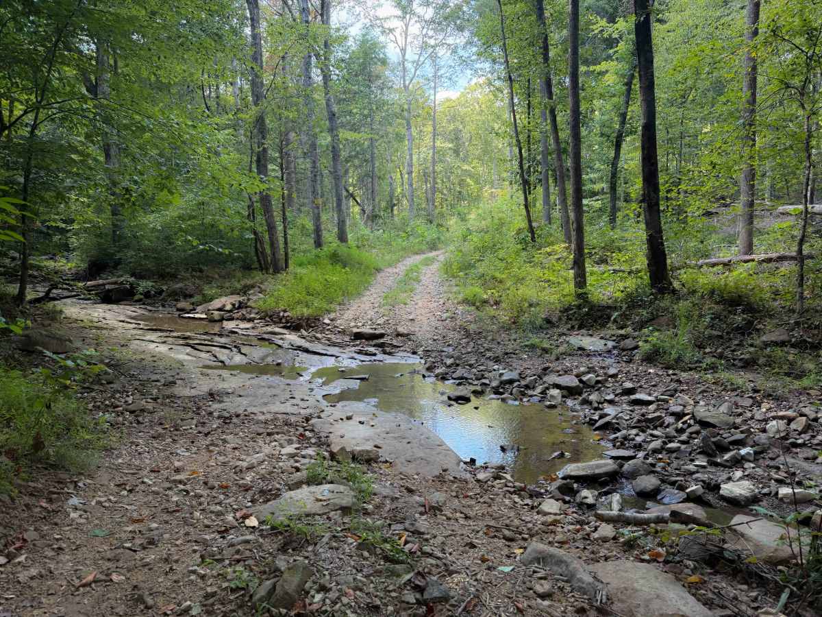
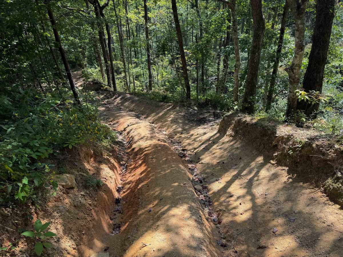
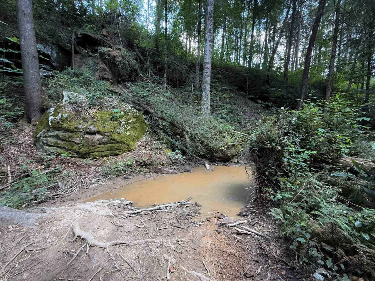
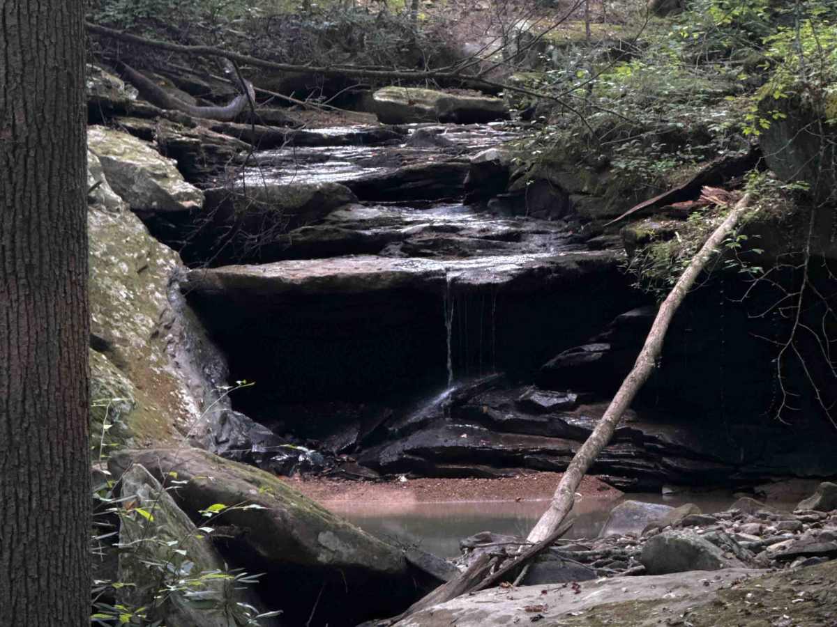
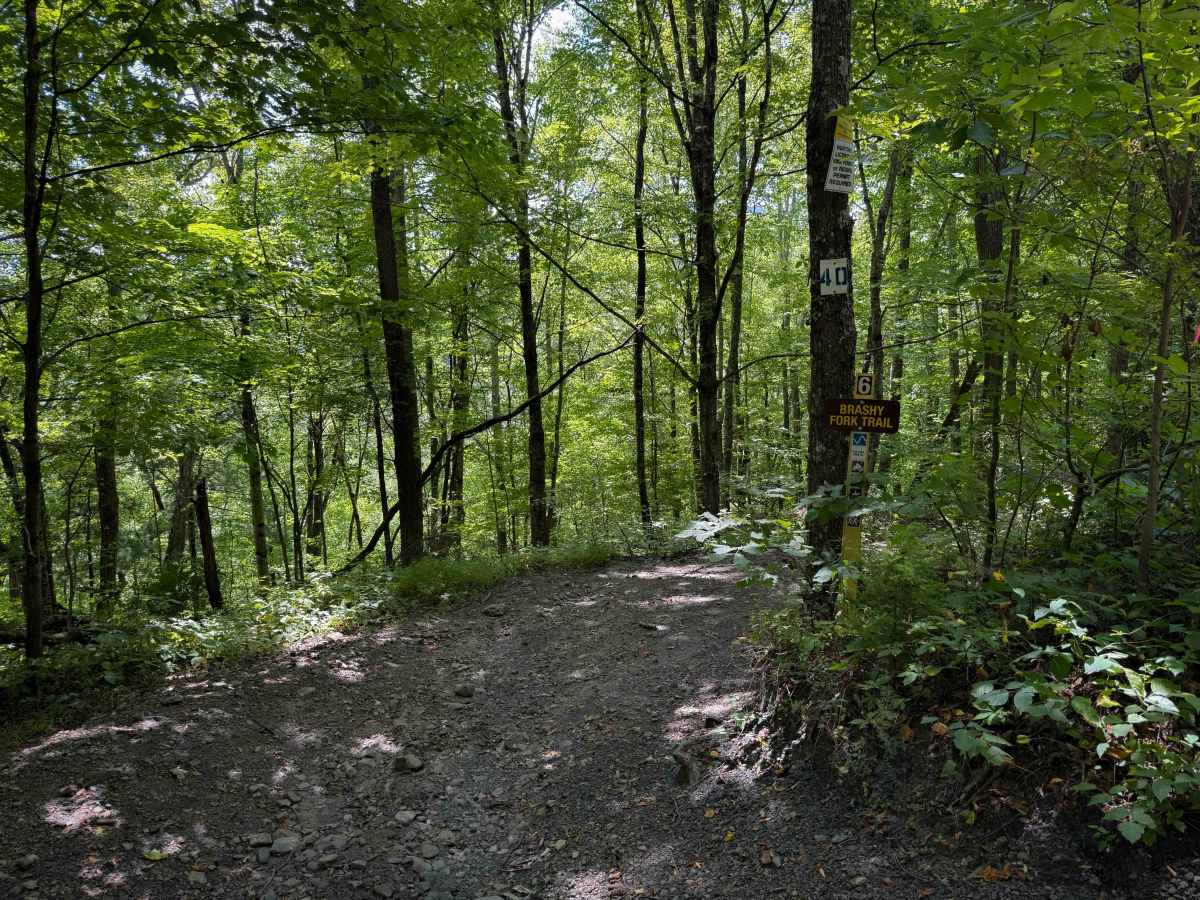
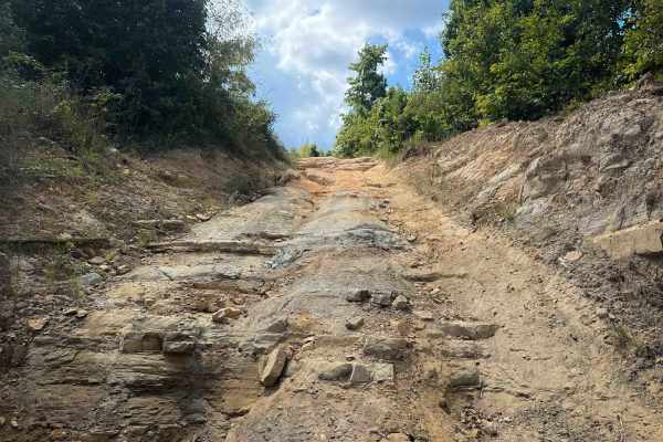
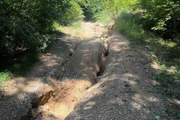
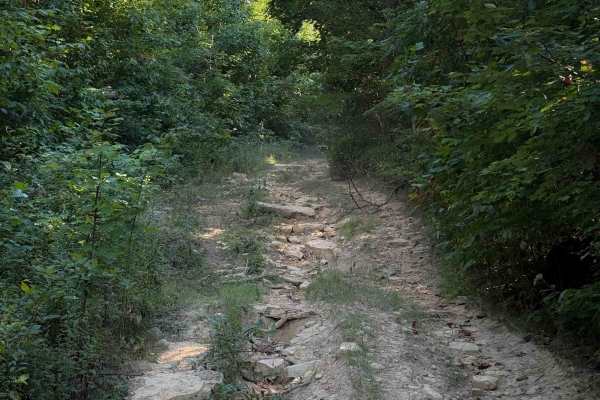
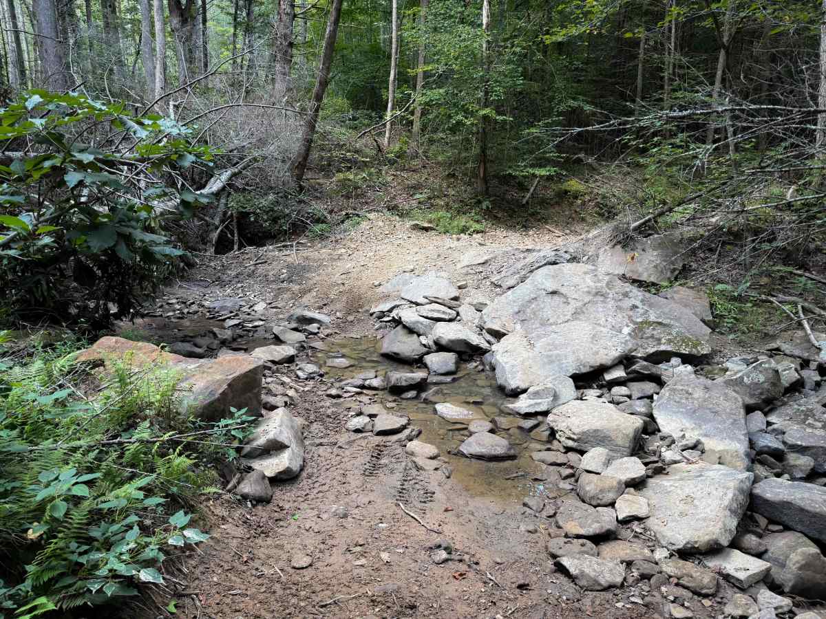
Brashy Fork Trail is a 1.1-mile-long, moderately easy OHV route through the North Cumberland OHV Area. It mostly descends from west to east, making a loop with the Bull Creek Settlement Trail. The trail is a narrow quad track that is cut into the hillside, going through a dense and shaded forest. The initial descent from Bull Creek Settlement Trail is very steep and rutted, dropping 200 feet in elevation in just a quarter mile. The deep ruts make it off-camber and narrow, but the trail was mostly dry. It levels out for the rest of the route, but rides through a couple of shallow stream crossings that have flat slabs of rock that you’ll ride over. The trail can be narrow at times through the bushes. Near the east end, it goes past a small scenic waterfall with a stream of water pouring over layers of elevated rock. The east end ends near the Bull Creek Cemetery on Bull Creek Road.

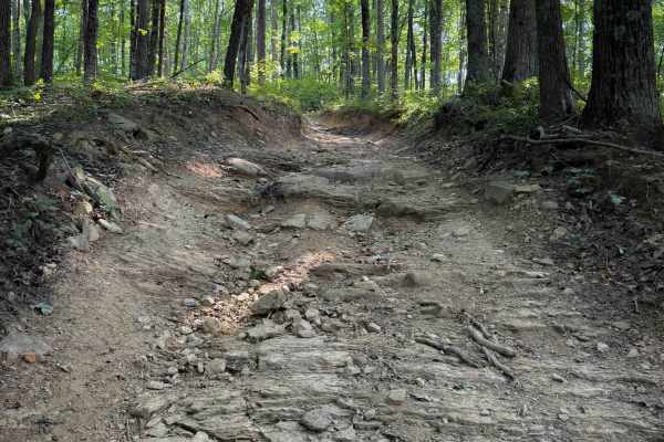
Photos of Brashy Fork Trail 6

Difficulty

This is rated as Moderate by the North Cumberland WMA. The trail overall is ideal for intermediate drivers because of the initial steep descent on the west end of the trail that is rutted and off-camber. The rest of the trail is easier, although narrow in spots. Expect some loose and embedded rock surfaces.

Technical Rating

4

Brashy Fork Trail 6 Trail can be accessed by the following ride types:

  • Single Track
  • 50 Inch
  • 60 Inch

Brashy Fork Trail 6 Map

The onX Offroad Difference

onX Offroad combines trail photos, descriptions, difficulty ratings, width restrictions, seasonality, and more in a user-friendly interface. Available on all devices, with offline access and full compatibility with CarPlay and Android Auto. Discover what you're missing today!

Open Trail Map