Trail Overview
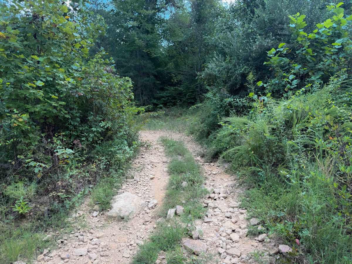
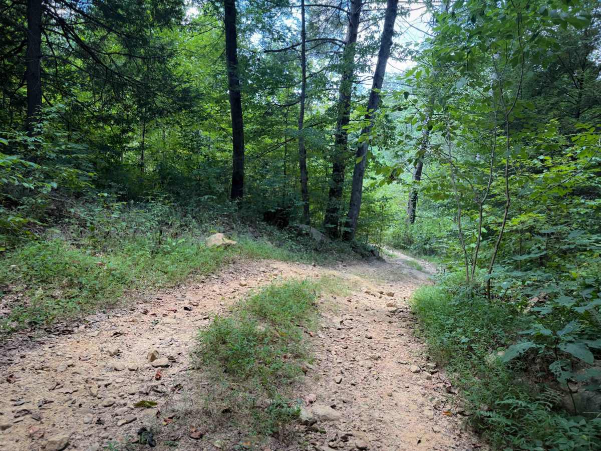
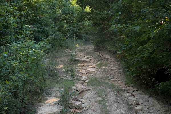
Brashy Fork Ridge Trail is a moderate ridgeline route in the New River Unit of North Cumberland Wildlife Management Area, offering a steady forest ride with elevated terrain typical of the Cumberland Plateau. The trail connects Sand Rock Trail with Brash Fork Trail, following the crest above the surrounding hollows and providing a useful link between the Sand Rock corridor and the Brash Fork drainage trail network. Riders travel through dense hardwood forest along a natural trail surface made up primarily of packed dirt mixed with loose rock and gravel, with mild elevation changes as the route contours along the ridge. The elevated alignment gives the trail a consistent feel compared to the steeper hollow routes nearby, making it a reliable connector for riders navigating the broader North Cumberland OHV system.
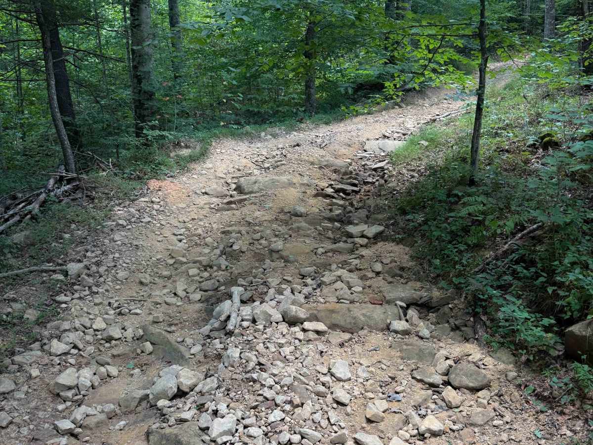
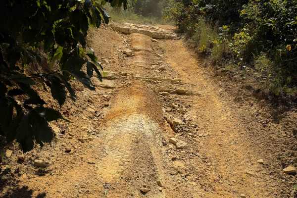
Although rated moderate, traction can vary along the ridge depending on weather and trail conditions. Loose rock scattered across the surface can make some climbs uneven, and repeated OHV traffic may create shallow ruts along the corridor. After rainfall, shaded portions of the trail often remain damp longer, producing slick dirt sections that require careful throttle control. The trail narrows in several wooded segments where passing opportunities are limited, especially along the tighter ridgeline turns. ATVs and side-by-sides commonly travel the route, while high-clearance 4x4 vehicles may navigate sections where trail width allows. Managed by the Tennessee Wildlife Resources Agency as part of the North Cumberland WMA OHV system, Brashy Fork Ridge Trail is generally open year-round under WMA regulations, though seasonal maintenance, storm damage, or wildlife management activities may occasionally affect access within the New River Unit.
Difficulty
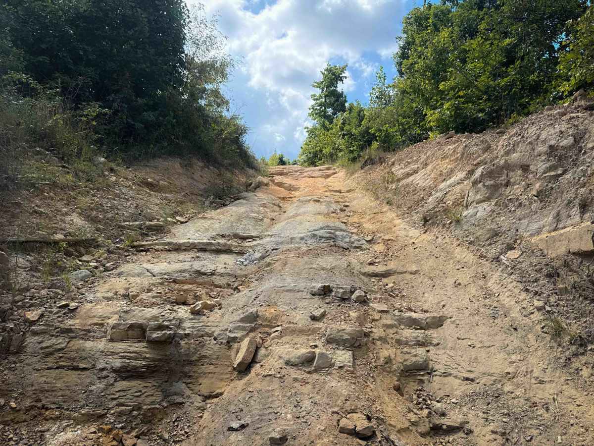
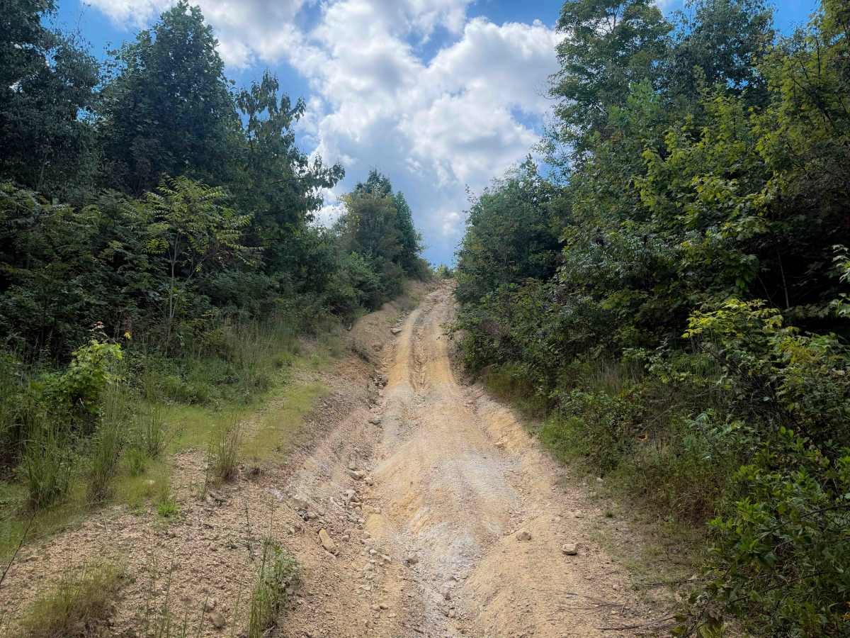
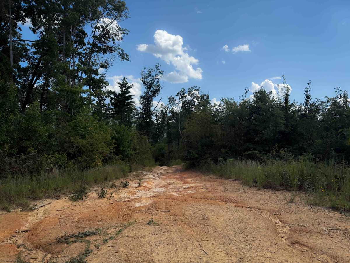
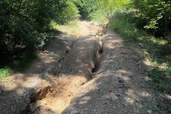
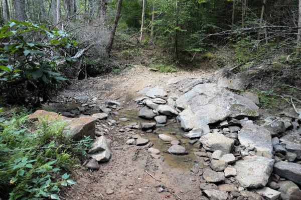
This is an intermediate route, mostly due to some significantly rutted sections and a few short rock ledges during steep climbs. The northern half of the trail is the steepest part, mostly ascending as you drive from north to south. The southern half of the trail is more gradual and easier.

 Offroad