Whitey's Járngreipr

Total Miles0.1
Technical Rating
5Moderate
Best TimeSpring, Summer, Fall, Winter
Trail TypeFull-Width Road
Accessible By
Open Trail Map

Trail Overview

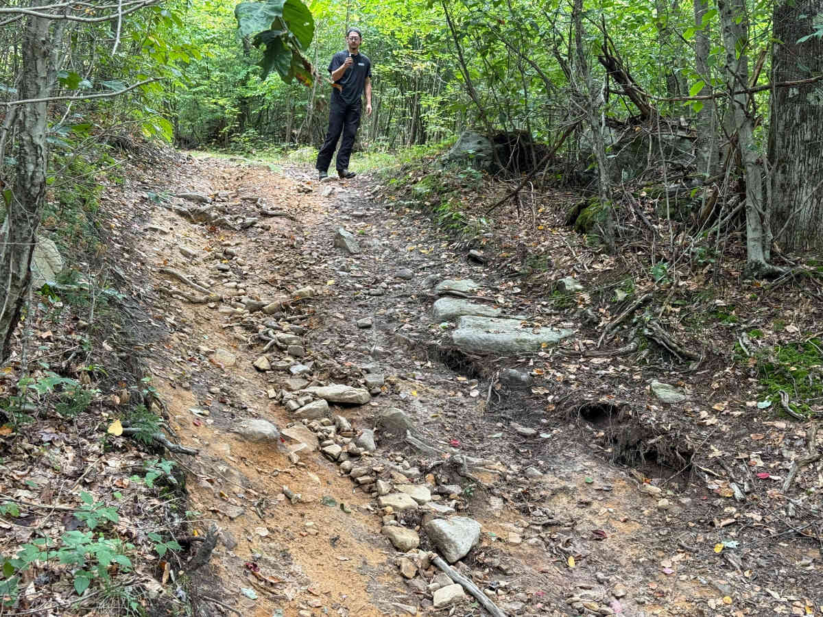
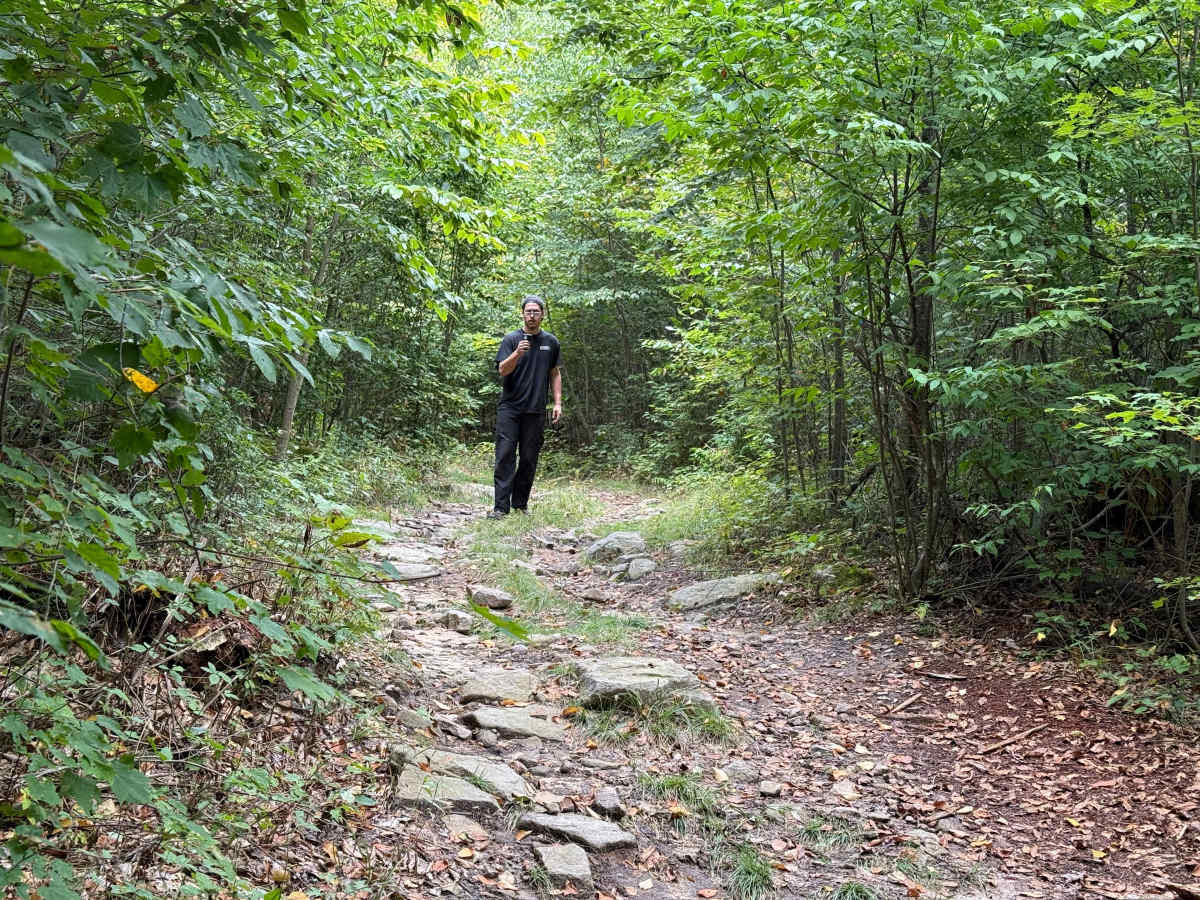
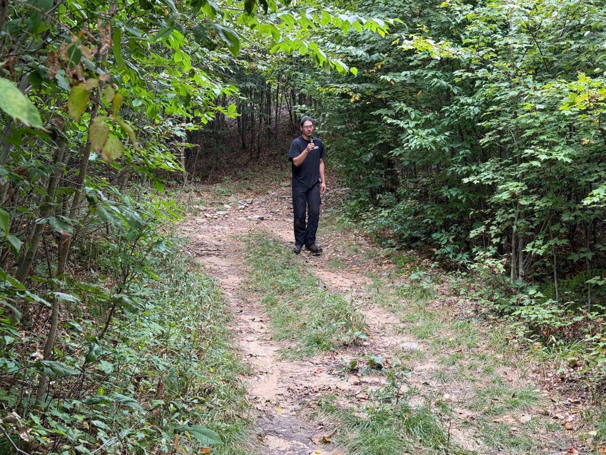
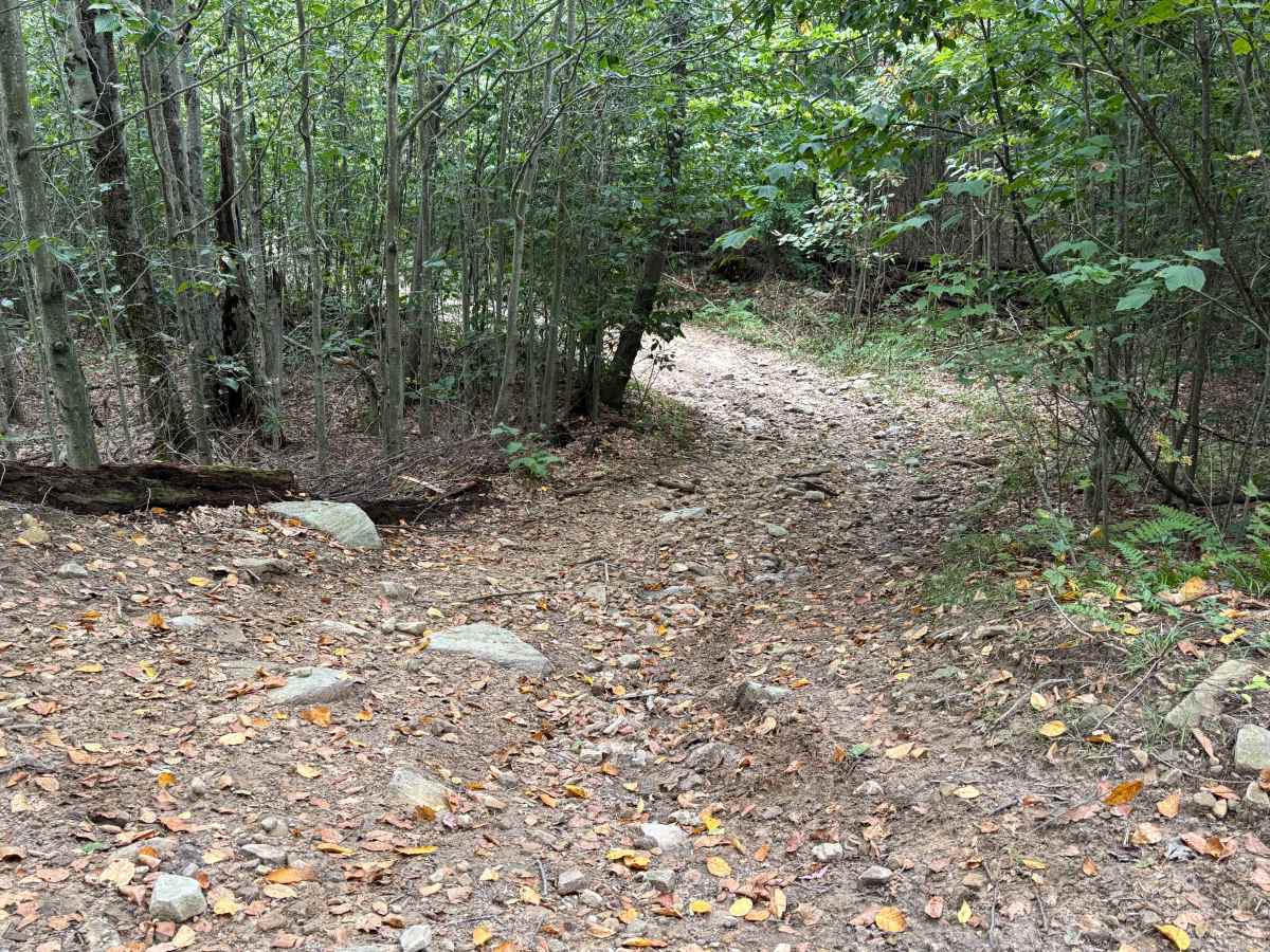
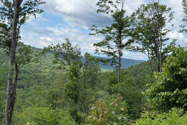
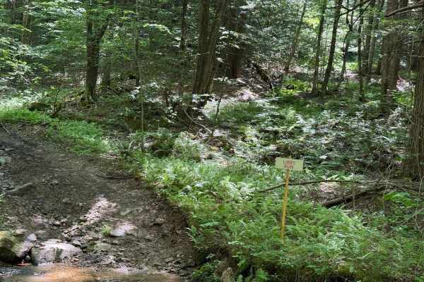
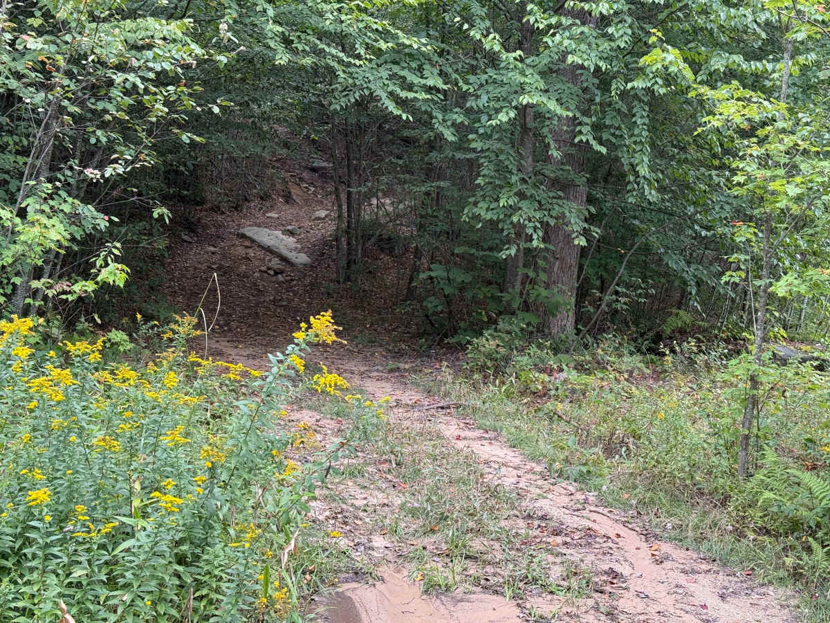
This trail is a short little track called Whitey's Járngreipr up by Whiting Pond. It's a pretty rough and rocky trail that cuts into the hillside on an upward and slightly off-camber climb. You want to be in 4-low for this. There are very large boulders in the middle of the trail and all along the edges. It looks like this trail was recently cut into the hillside. It levels out on top, but it's still pretty rocky with a rock garden at the end of the trail. There is a tight turn to the right. The last bit is steep and ends on a narrow adjacent trail. Accessibility: Like many forest roads, its condition can vary, and it is best to check the Allegheny National Forest Motor Vehicle Use Map (MVUM) for the latest information on its status. Conditions are also subject to weather and seasonal changes. https://www.fs.usda.gov/r09/allegheny

Photos of Whitey's Járngreipr

Difficulty

large boulders, rock garden, off camber, surface wash from rain runoff.

Technical Rating

5

Status Reports

Add Status Report
Black Tonka Offroad Jim Whiting
Oct 09, 2026
2012 Toyota Tundra
Open
Normal
A short video of this trail can be viewed at https://youtu.be/KQk21u8xpQQ?si=91AYh7dFt1Vd474e

Whitey's Járngreipr Trail can be accessed by the following ride types:

  • High Clearance
  • Full Width

Whitey's Járngreipr Map

The onX Offroad Difference

onX Offroad combines trail photos, descriptions, difficulty ratings, width restrictions, seasonality, and more in a user-friendly interface. Available on all devices, with offline access and full compatibility with CarPlay and Android Auto. Discover what you're missing today!

Open Trail Map