Trail Overview
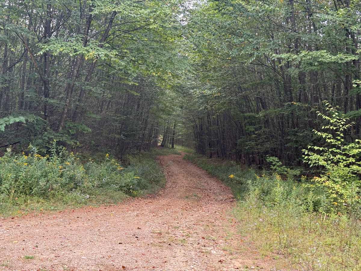
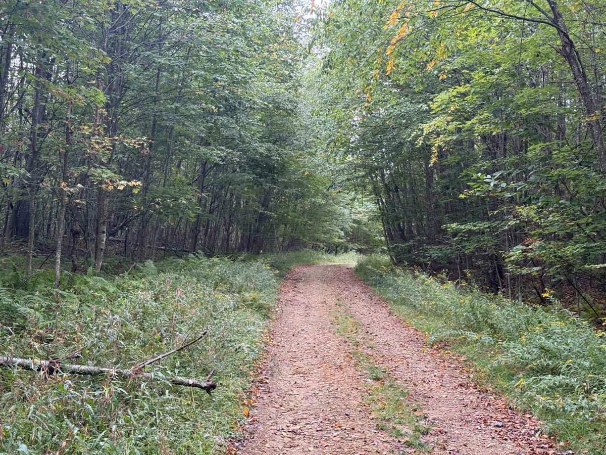
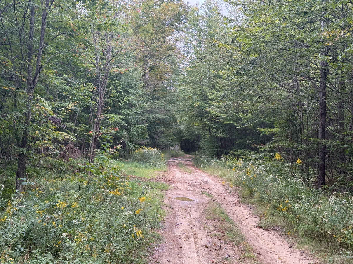
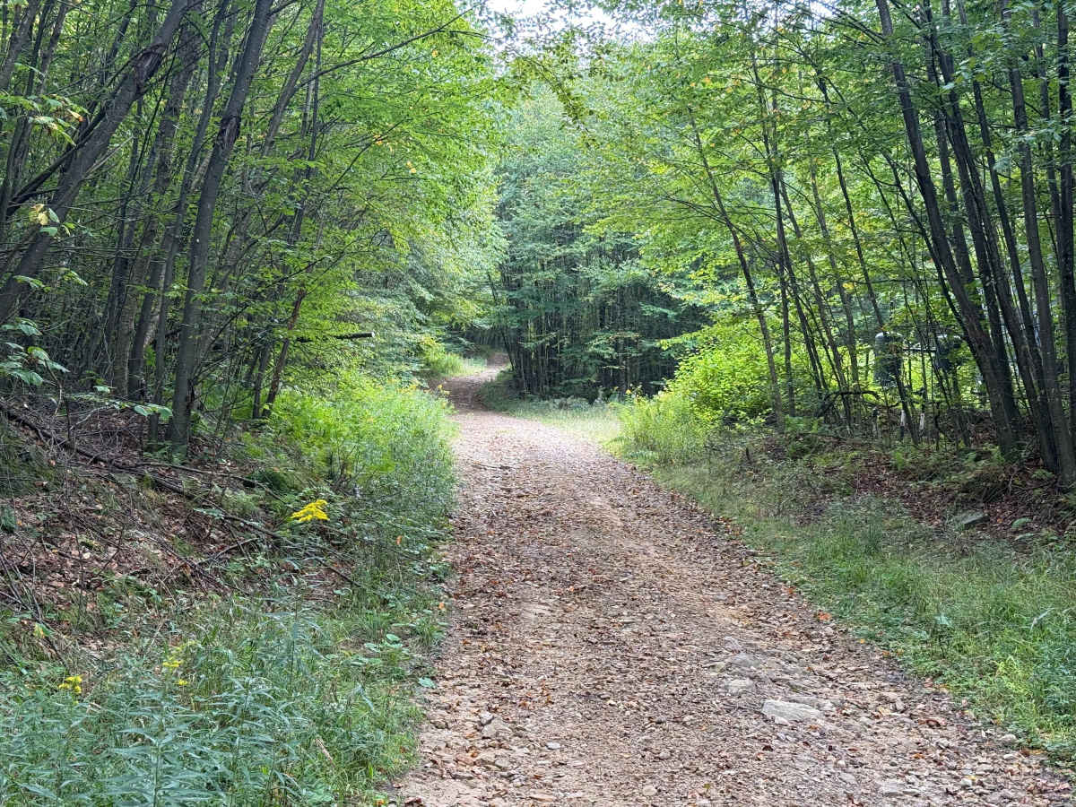
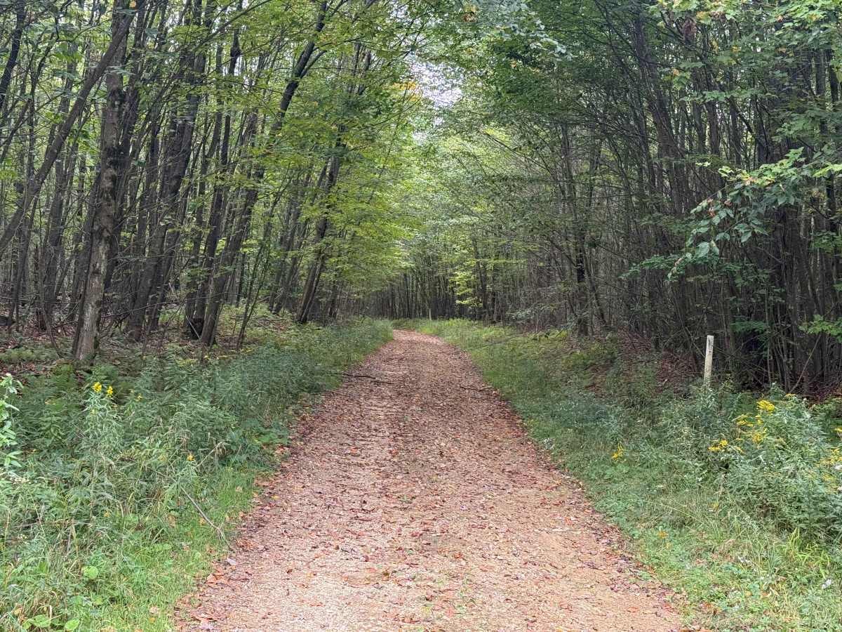
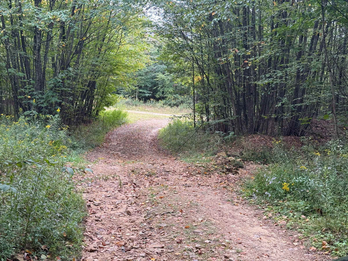
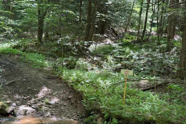
This trail is FS 144. The trail starts in a small clearing and heads into the woods with a rocky, choppy surface that looks like there's been some rain runoff, but nothing too bad. 0.4 miles in, we have some mud holes, nothing too serious, though. 1/2 mile in, there are some decent-sized boulders in the road, and the surface turns to gravel. There are some ruts from rain runoff also, so take it a little slow. At 0.7 miles, we head left, and the road goes uphill on a slight incline. It’s still pretty gravelly with some small to medium-sized boulders. 1 mile in, there appears to be a fairly decent-sized cut into the road surface to direct rain runoff. You are going to want to take it slow. Once you get through that, we're heading to the right. The road surface opens up to some small gravel on the surface, and it's pretty open, so it's easier to travel at this point. 2.1 miles in, the trail opens up to a nice opening; there are a few camp spots and a nice little mud hole to the left. 2 1/2 miles in, the surface gets a lot rougher; slow right down to about 4 to 5 miles an hour, as it is a pretty rocky, bumpy ride. The end of this trail is still pretty rocky and rough with ruts for run-off. Accessibility: Like many forest roads, its condition can vary, and it is best to check the Allegheny National Forest Motor Vehicle Use Map (MVUM) for the latest information on its status. Conditions are also subject to weather and seasonal changes. https://www.fs.usda.gov/r09/allegheny