Trail Overview
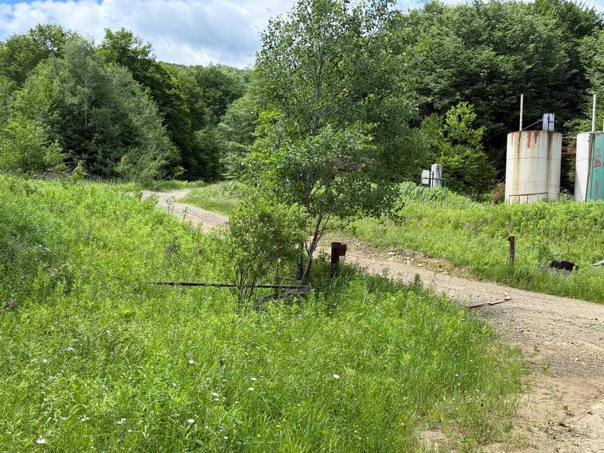
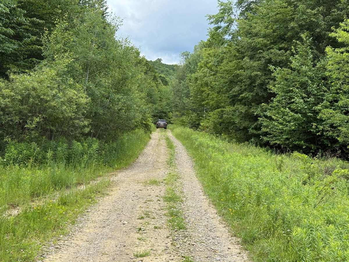
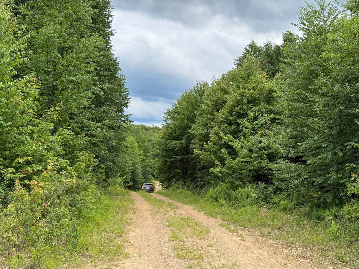
Gilmore Trail: Trailhead → 0.6 mi — Starts pretty flat. Surface is gravelly and rocky but in good shape, with solid clearance on both sides of the road.
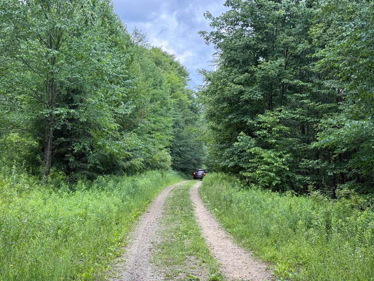
0.6 mi — You come into tree cover and the start of an uphill incline. Sharp left hairpin right turn; depending on what you're driving, you'll likely want to swing wide to make it.
0.7 mi — Gets rockier and rougher through here, deeper ruts, then it smooths back out. Small rut on the left as you keep climbing. Surface varies in this stretch.
1.0 mi — Second hairpin. Stay as far left as you can to make the turn. 4 Low here if you really need it.
After the second hairpin — Steep, rocky, and very uneven climb. Watch for a few small hidden rocks in the middle and on the right. Ravine drop-off on your right too — you're not right on the edge on this section, but keep it in mind.
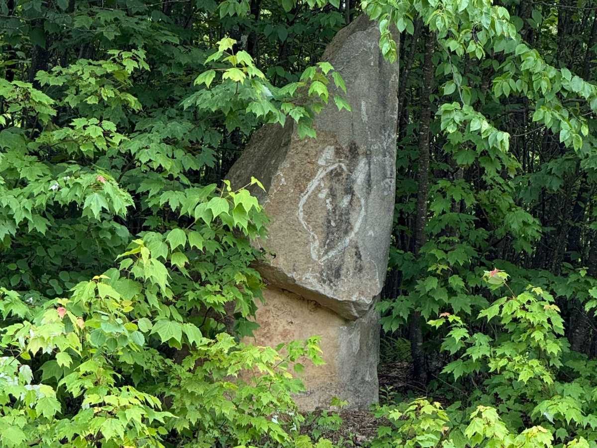
1.3 mi — Small clearing where three roads branch off. A medium triangle-shaped rock sits there as a good landmark for the spot.
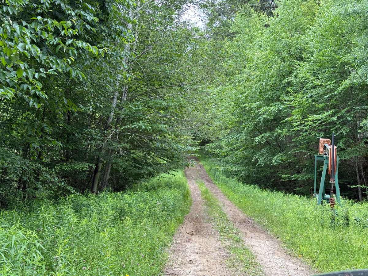
1.6 mi — Sharp left through an open gate. Bottom line on what it calls for: decent ground clearance, 4WD with low range on for the two hairpins and the steep rocky pitch, and some comfort running uneven/off-camber ground near a drop-off.