Trail Overview
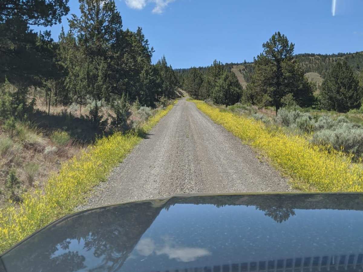
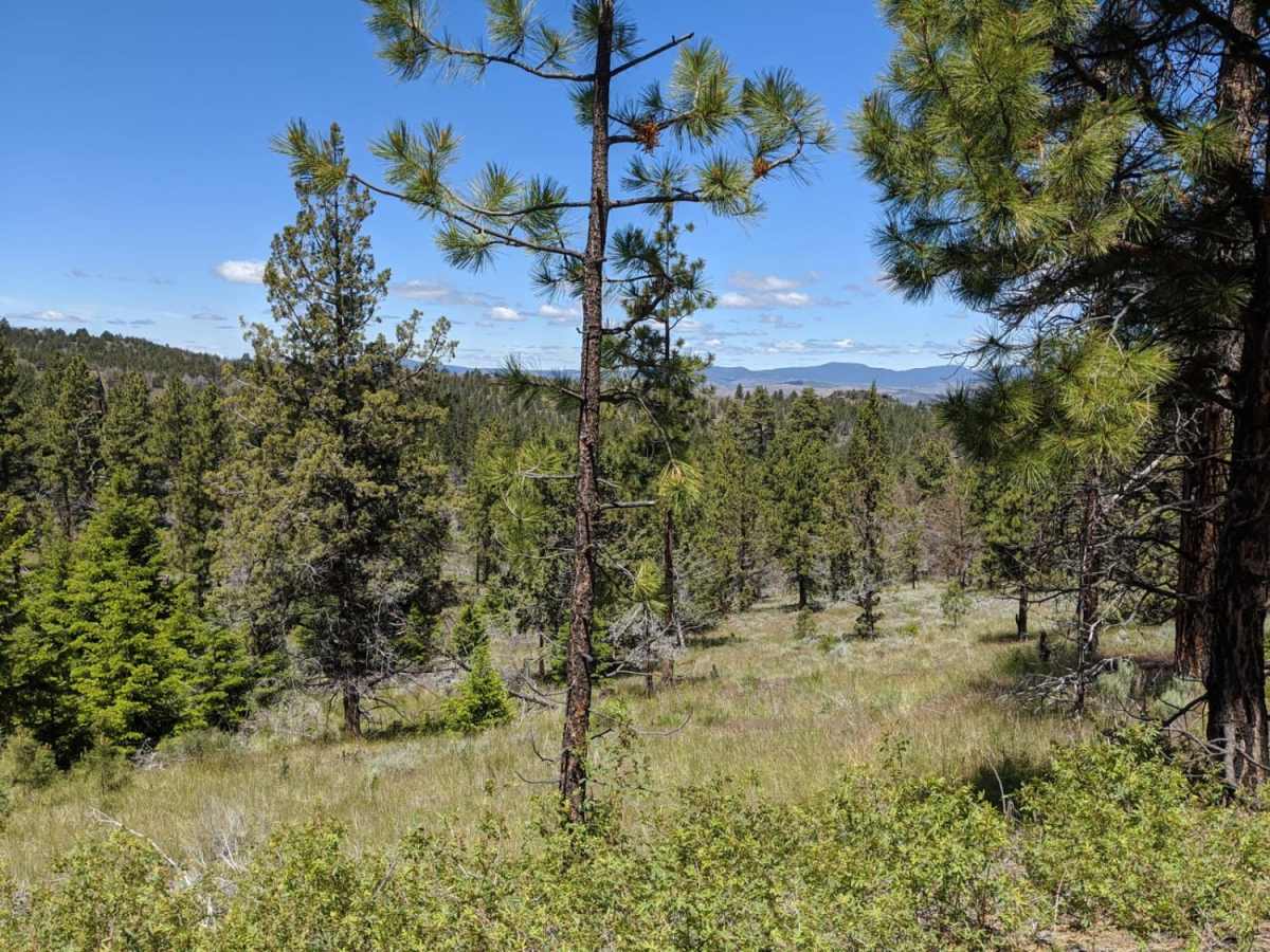
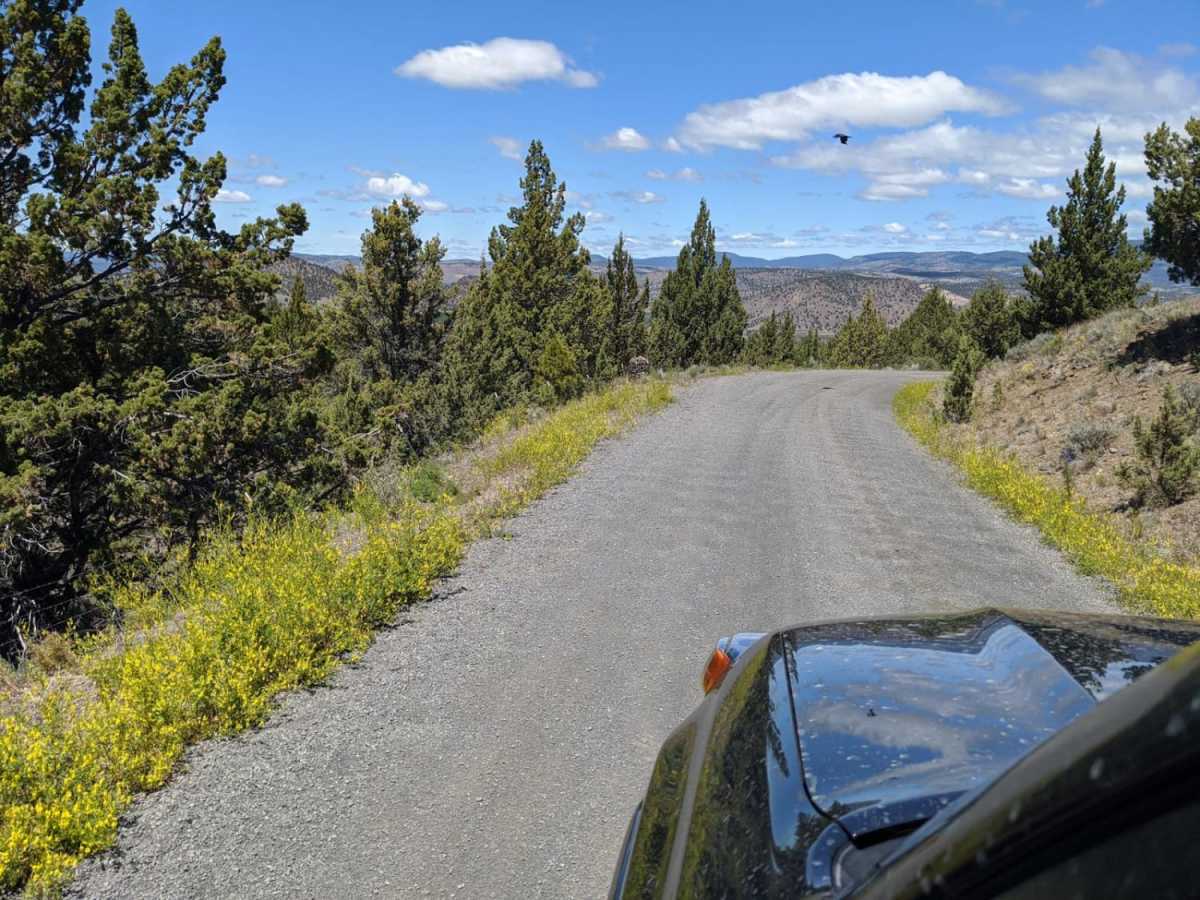
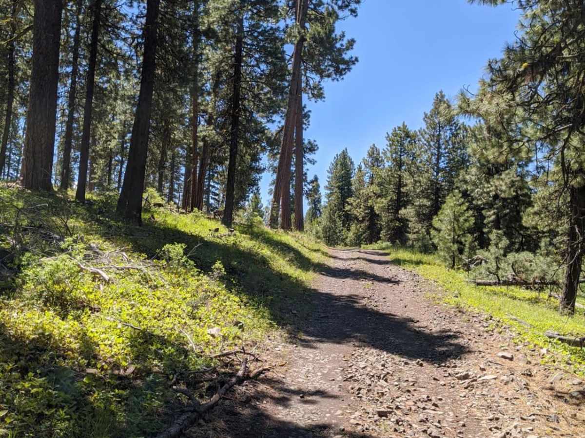
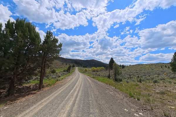
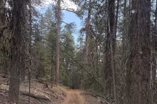
Wild Cattle Trail is a scenic 19.4-mile offroad loop in the Maury Mountains within the Ochoco National Forest. Accessible from Oregon Route 380 (Paulina Highway), the trail climbs to 5,782 feet near Drake Butte, offering expansive views of the high desert and surrounding pine forests. This beginner-friendly route is suitable for stock high-clearance 4WD vehicles and SUVs, featuring abundant dispersed camping and opportunities to spot wildlife and historic homestead cabins.
Difficulty
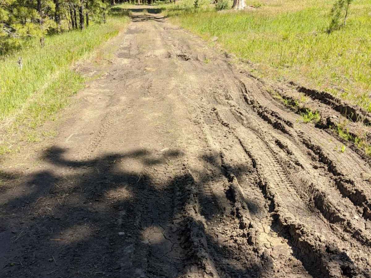
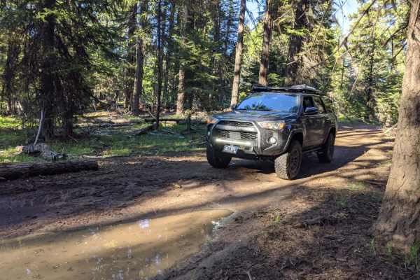
Most of this trail is easy, there are a few tight rocky turns and some muddy areas, which clear up in the summer.
History
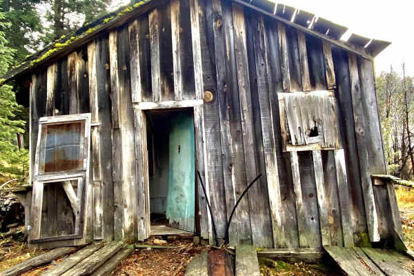
The Ochoco National Forest and Maury Mountains carry a rich history of early homesteading and mining. As you travel along the trail, look out for historical remnants such as old cabins, structures, and abandoned mines dating back to the late 19th and early 20th centuries when settlers and miners flocked to central Oregon.
Access Description
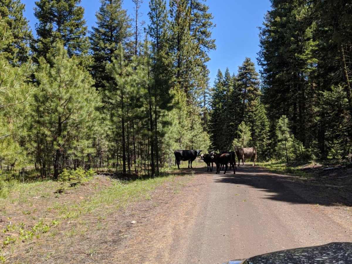
No permits are required to drive the Wild Cattle Trail, but vehicles must be street-legal or possess appropriate Oregon OHV permits if operating non-highway-registered vehicles. The trail climbs to over 5,700 feet, so seasonal snow can block access from late fall through late spring. Be prepared for muddy conditions in the early season and always watch out for free-range cattle sharing the roadway.