Powerline Road

Total Miles2.7
Technical Rating
1Easy
Best TimeSummer, Fall, Spring
Trail TypeFull-Width Road
Accessible By
Open Trail Map

Trail Overview

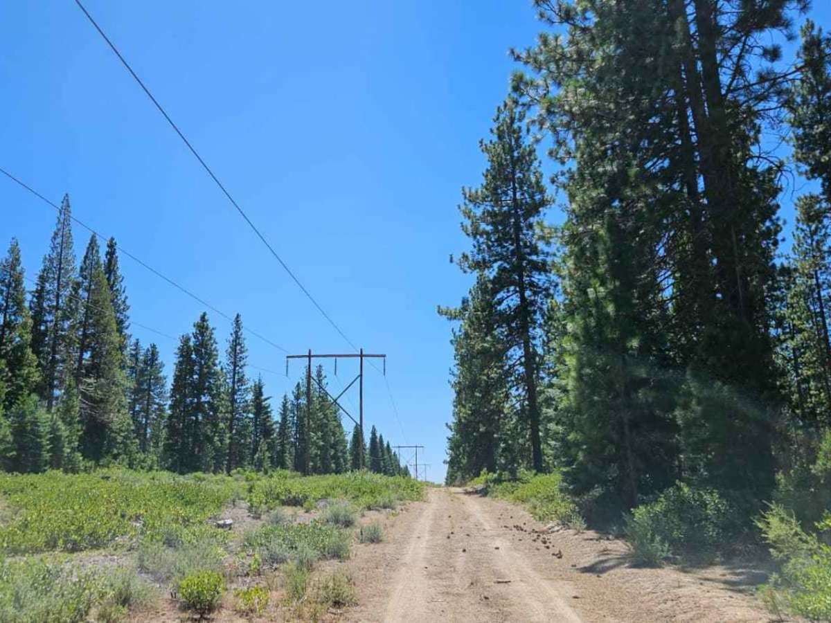
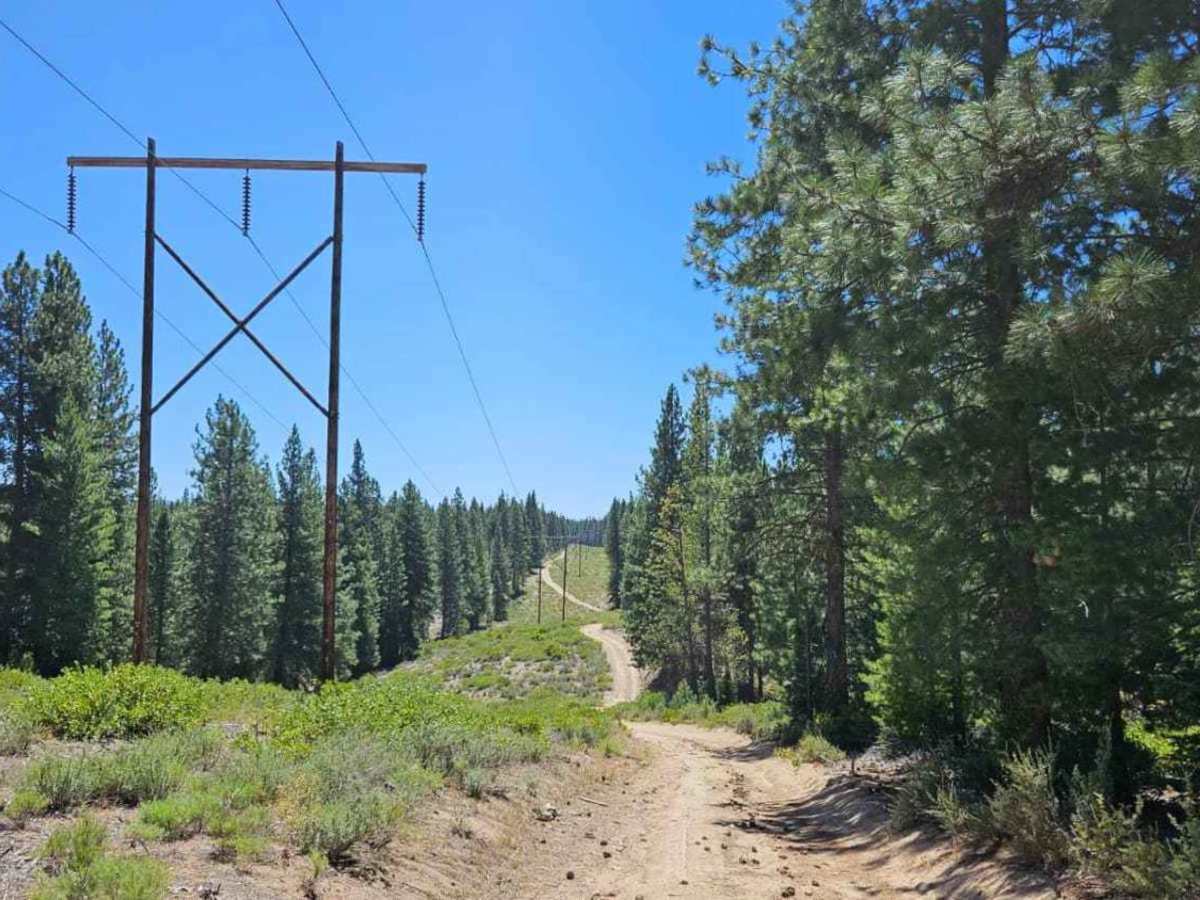
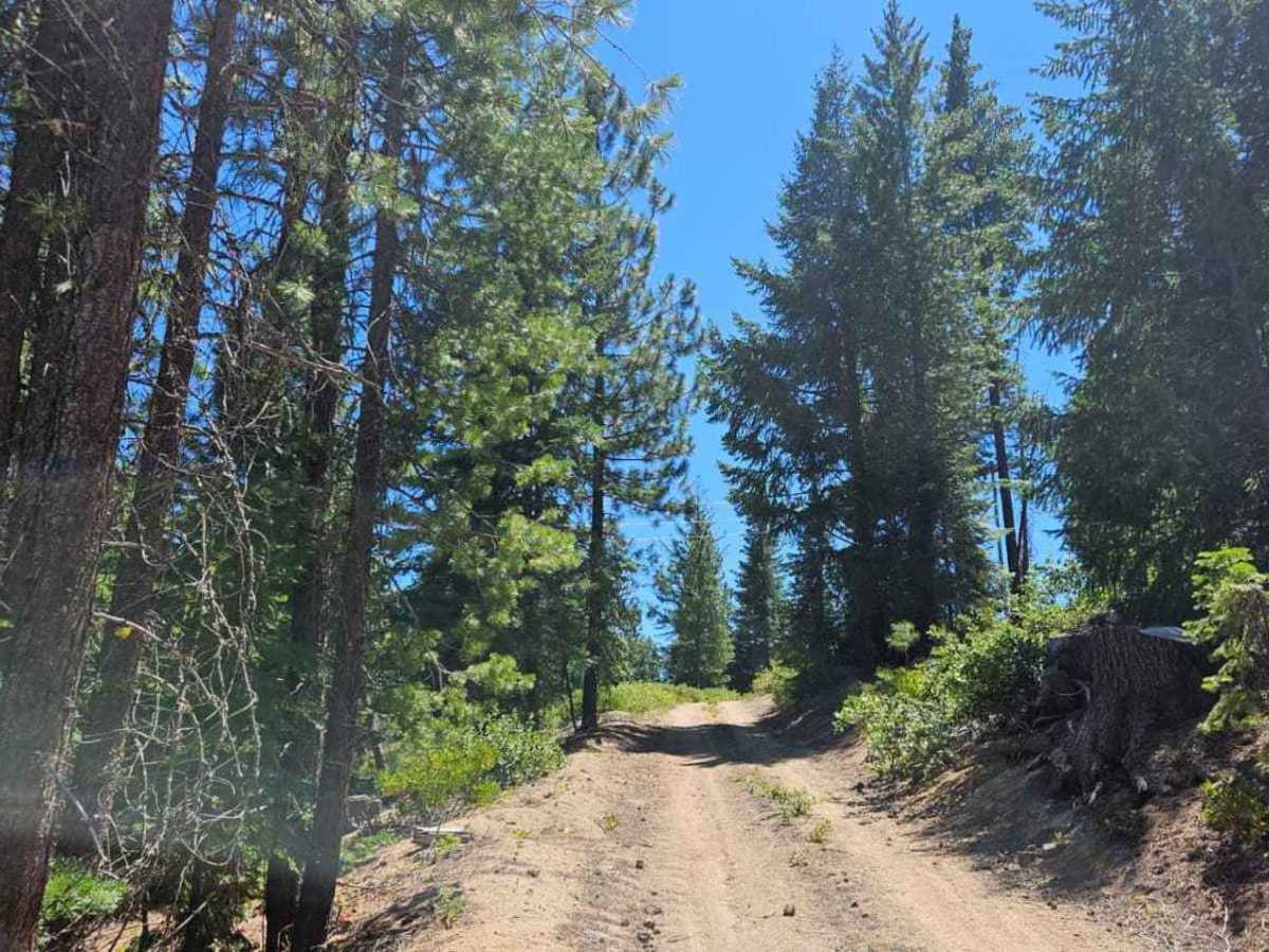
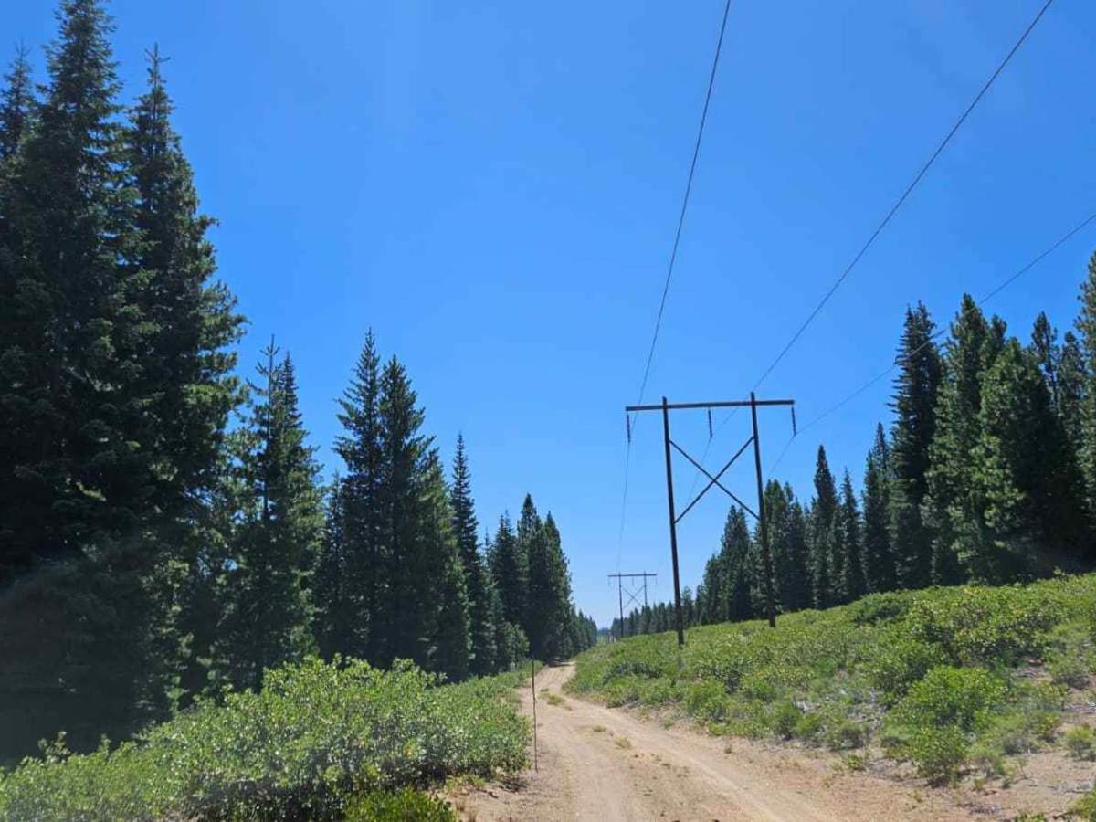
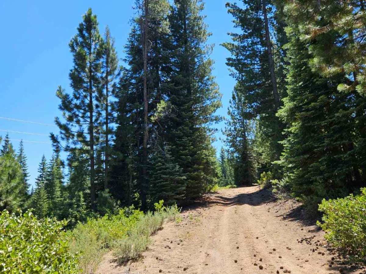
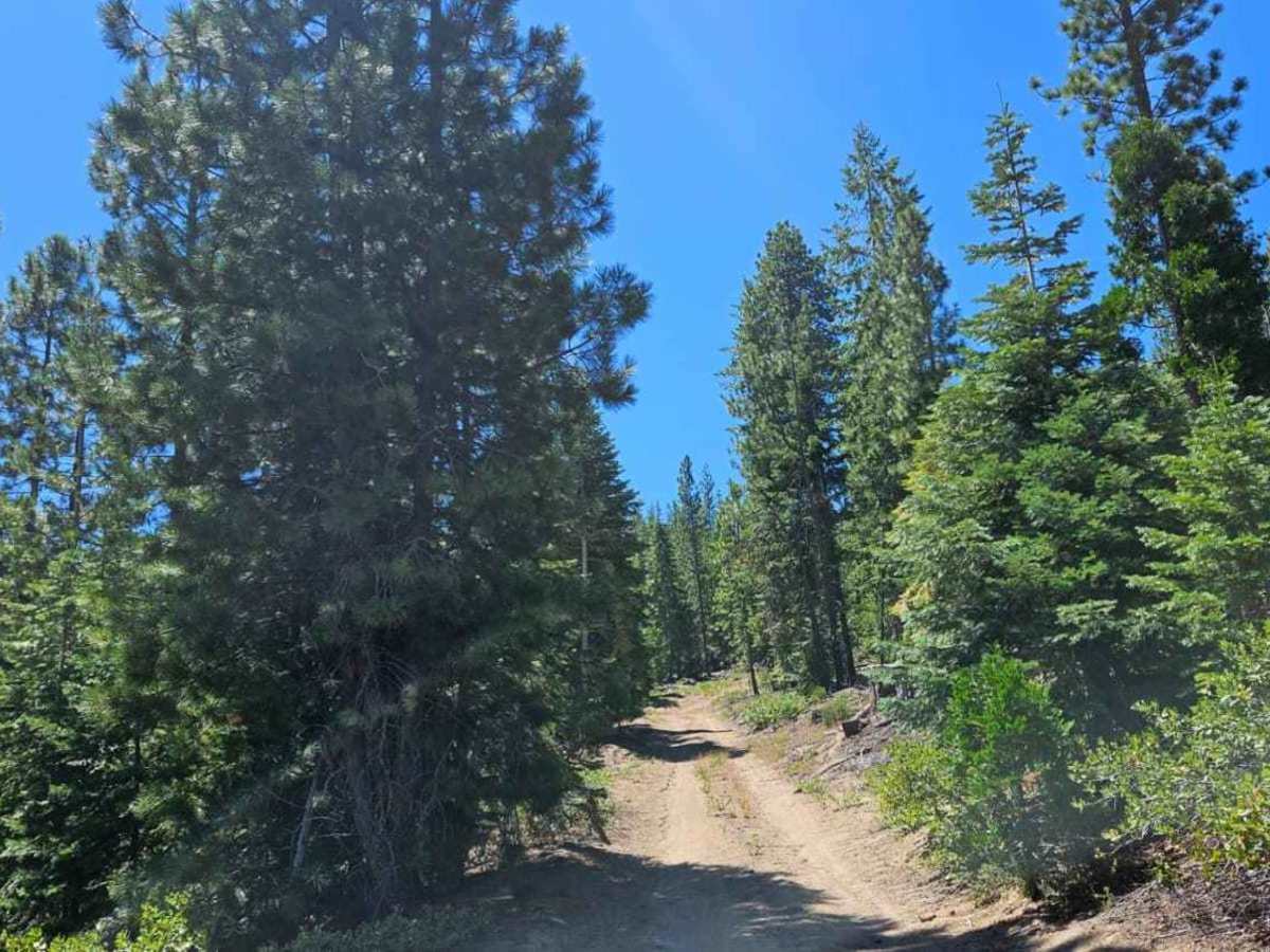
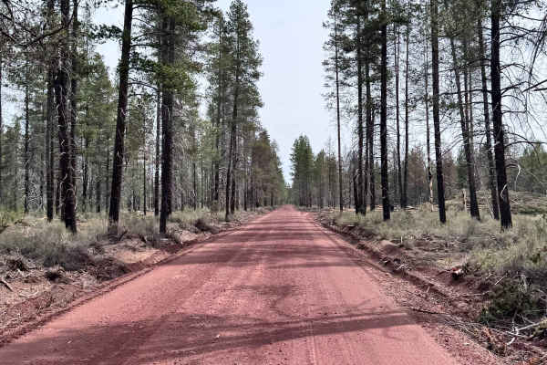
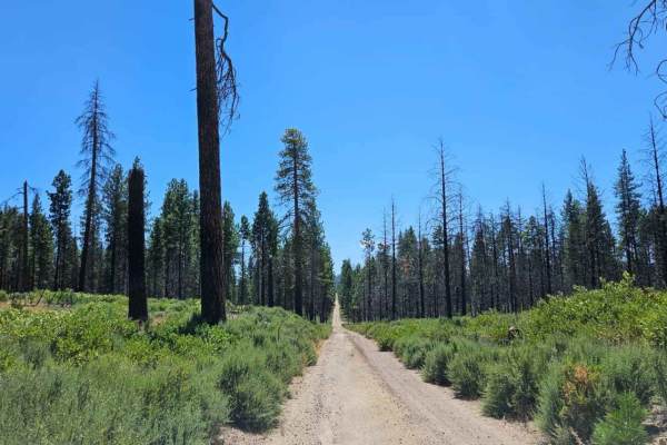
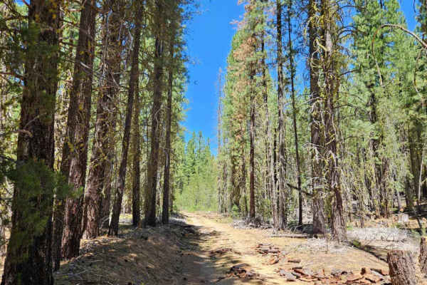
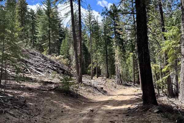
This scenic powerline route begins as a well-maintained road through Sun Pass State Forest before becoming noticeably rougher after entering the national forest. The State Forest section offers numerous side roads and exit points, allowing drivers to shorten or extend their trip as desired. Once inside the national forest, however, the trail commits to a steeper descent into a creek crossing before climbing back out the opposite side. Low range is recommended for this section, particularly in larger vehicles. The remainder of the route continues beneath the powerlines through beautiful forest on a sandy, dusty surface, with additional side roads branching off after returning to the plateau. The combination of open powerline corridors and surrounding forest creates a particularly enjoyable and scenic drive.

Photos of Powerline Road

Difficulty

The trail is mostly easy, with the steep descent and climb at the creek requiring extra care.

Technical Rating

1

Powerline Road Trail can be accessed by the following ride types:

  • Single Track
  • 50 Inch
  • 60 Inch
  • High Clearance
  • Full Width

Powerline Road Map

The onX Offroad Difference

onX Offroad combines trail photos, descriptions, difficulty ratings, width restrictions, seasonality, and more in a user-friendly interface. Available on all devices, with offline access and full compatibility with CarPlay and Android Auto. Discover what you're missing today!

Open Trail Map