Trail Overview
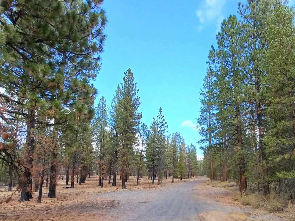
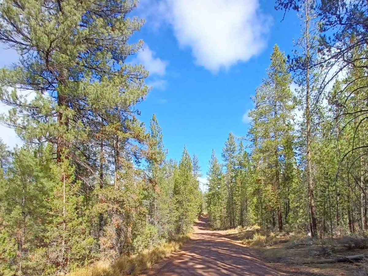
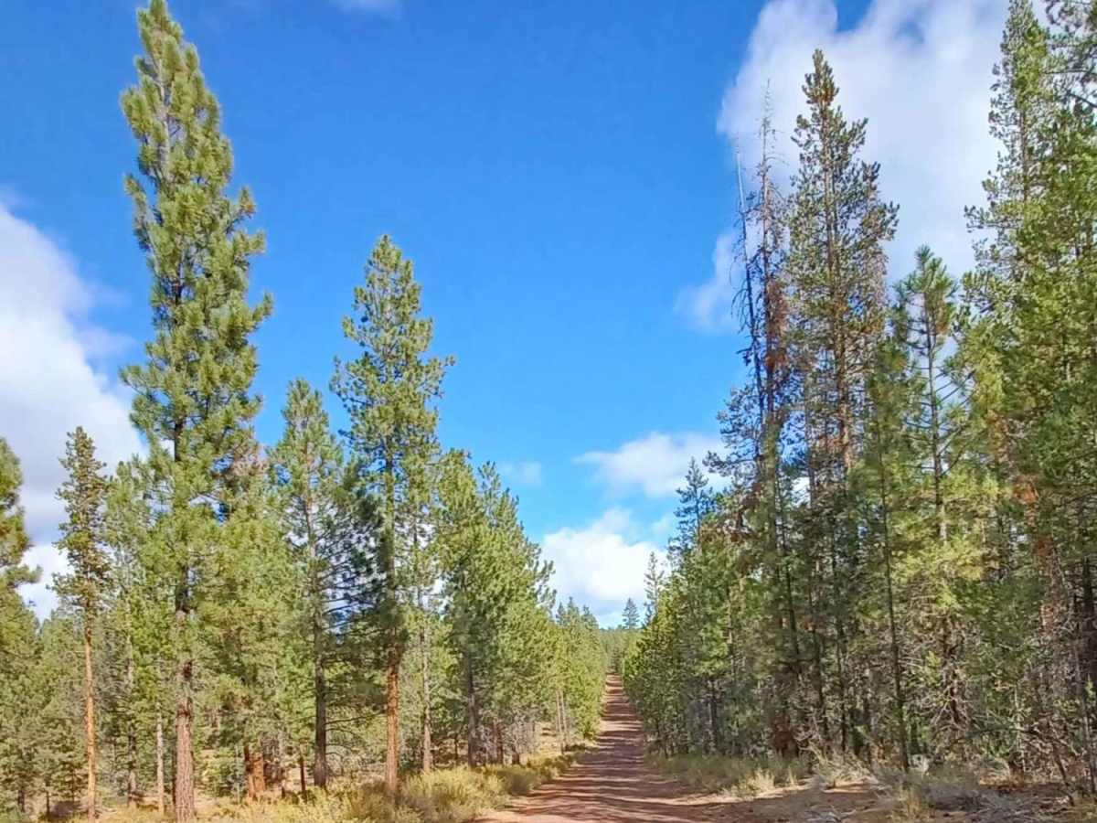
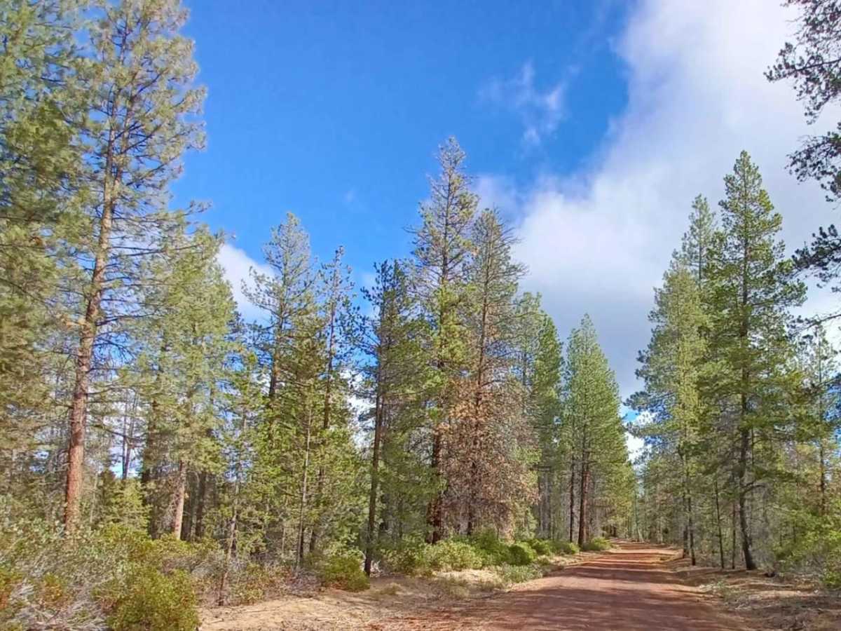
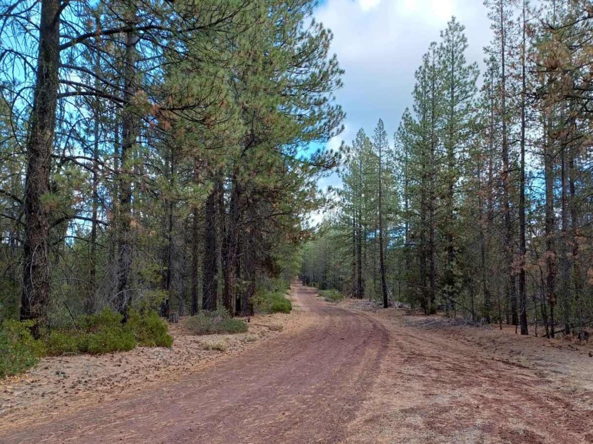
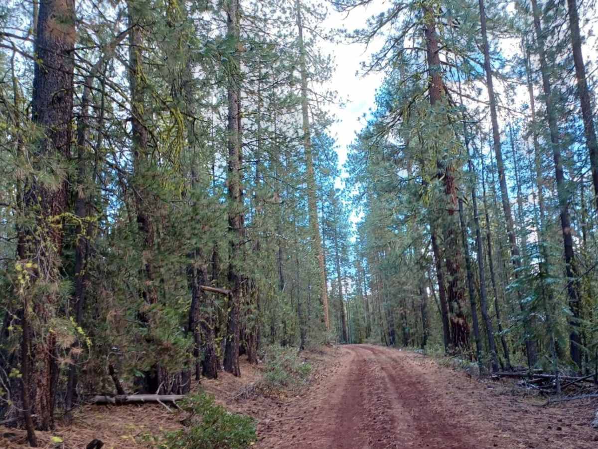
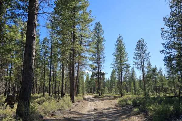
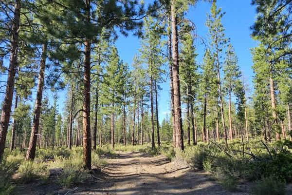
Pipeline Road #2215 is a 6.3-mile gravel route through Deschutes National Forest that serves as a main corridor for the East Fort Rock OHV trail system. Starting from Surveyor Cave Road on the south, it features a smooth surface with occasional mild washboard sections, making it accessible to stock SUVs and high-clearance vehicles under dry conditions.
The route passes Taktakli Butte and Round Hill, providing access to dispersed campsites and staging areas. Because it connects key parts of the East Fort Rock network, expect heavy traffic from dirt bikes, ATVs, and side-by-sides from spring through fall. This road is not winter-maintained and becomes impassable to wheeled vehicles once snow accumulates.
Access Description
Pipeline Road #2215 is located within the Deschutes National Forest. While street-legal vehicles do not require special permits to drive on this Forest Service road, any off-highway vehicles (OHVs) operating here must possess a valid Oregon OHV permit and be equipped with functional spark arrestors. There are no fees to drive the road, but it is not winter-maintained and becomes impassable to wheeled vehicles once snow accumulates.