Trail Overview
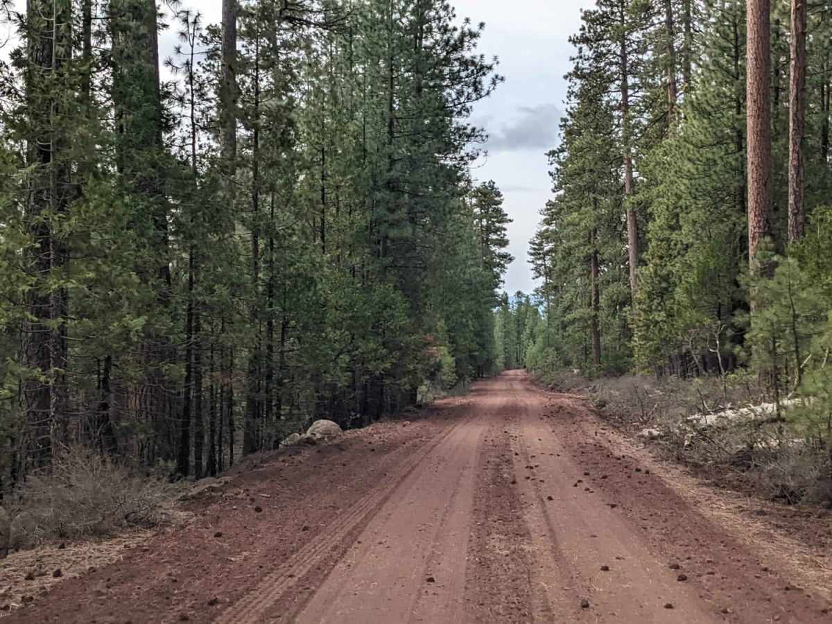
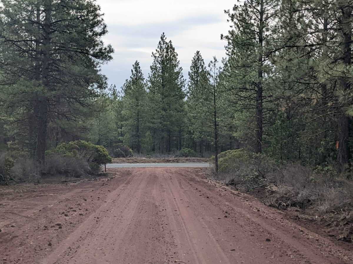
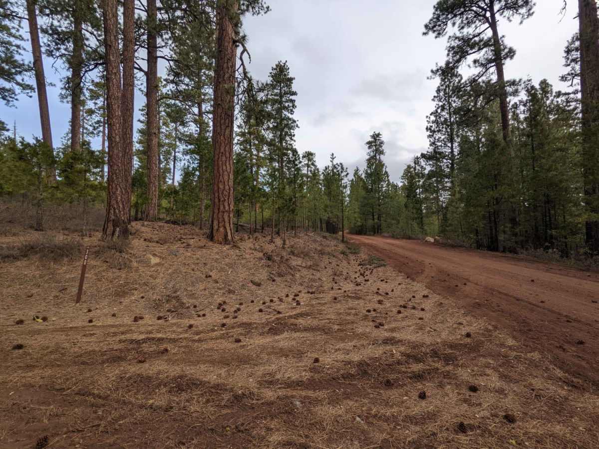
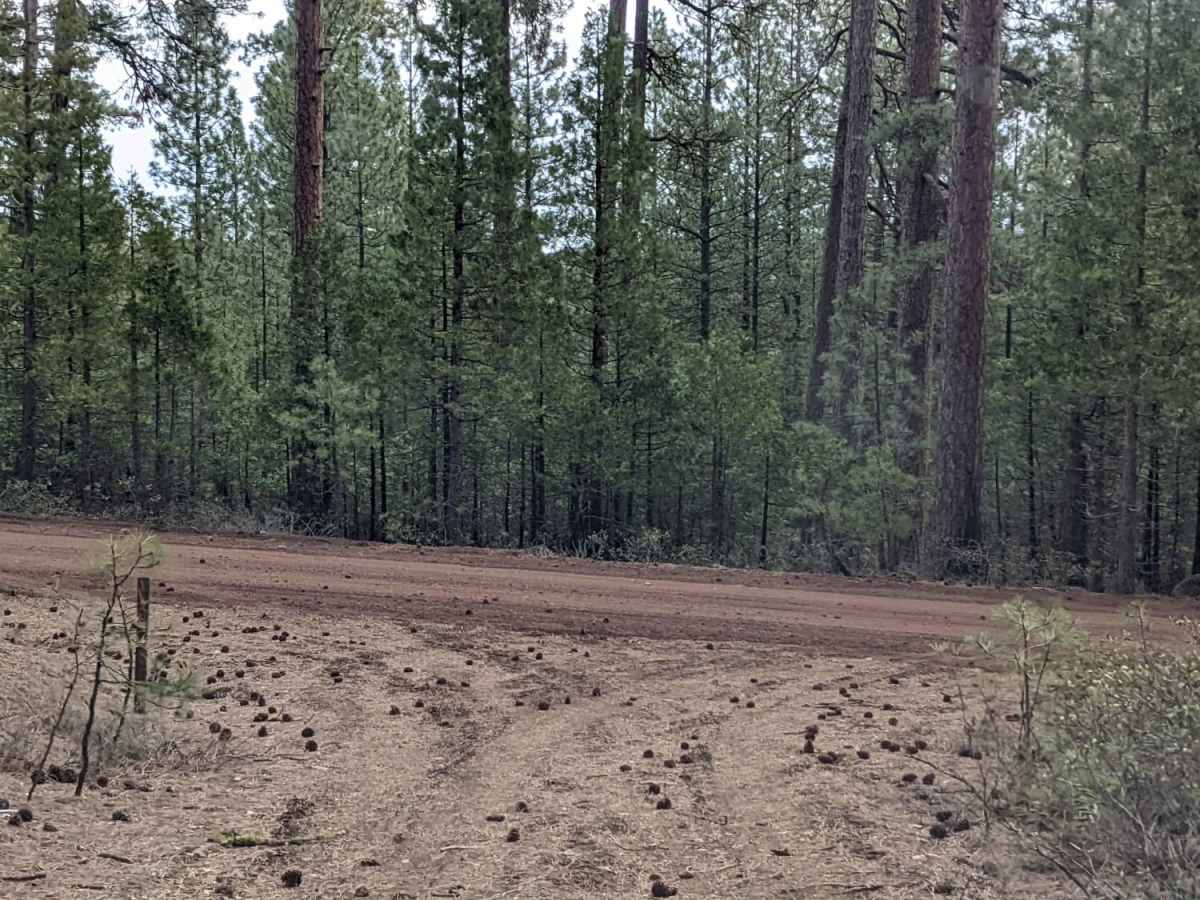
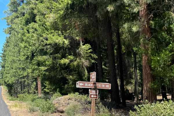
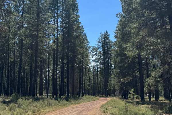
NF-113 is an easy-going route perfect for beginners, scenic cruisers, and those looking to explore a quiet corner of the Deschutes National Forest in high-clearance four-wheel-drive vehicles, SxSs, or overland rigs. Winding through a landlocked section of the national forest above the Deschutes River, this well-graded gravel road offers an approachable off-road experience surrounded by the stunning landscapes of the nearby Mt. Jefferson Wilderness and the Warm Springs Reservation. Starting around 3,770 feet and climbing steadily to an elevation of approximately 4,646 feet, the trail spans nearly 3.9 miles and features gentle grades with minimal technical obstacles. This route provides a peaceful getaway through dense forest stands, making it an excellent option for those seeking solitude away from busier recreational corridors.
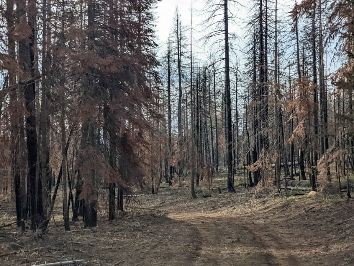
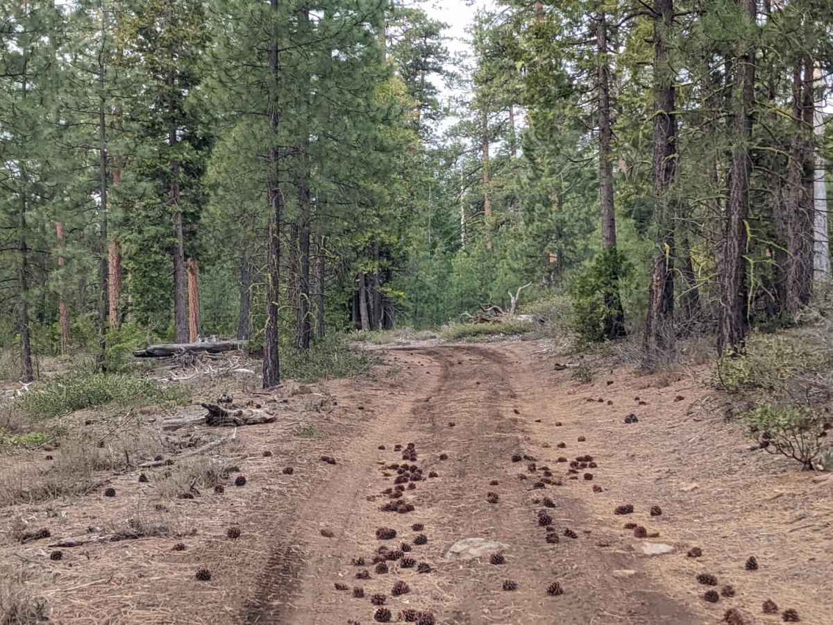
Because this remote area receives very little regular traffic, travelers must come prepared for self-recovery and trail maintenance. It is highly recommended to carry a chainsaw to clear fallen trees that frequently block the path, as well as standard recovery gear. The route climbs roughly 871 feet over its 3.9-mile length and is typically snowbound and impassable from December through April. The easy gravel surface is suitable for most high-clearance vehicles during the dry summer and fall seasons, but conditions can change rapidly with inclement weather.
Access Description
The road is typically snowbound and impassable from December through April. Because this area receives very little regular maintenance and use, carry a chainsaw to clear fallen trees from the roadway.

 Offroad