Trail Overview
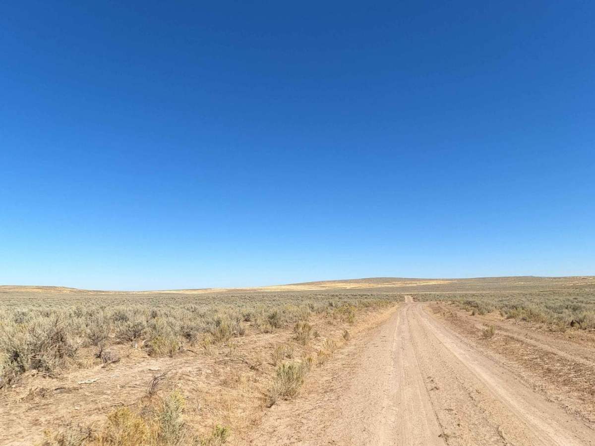
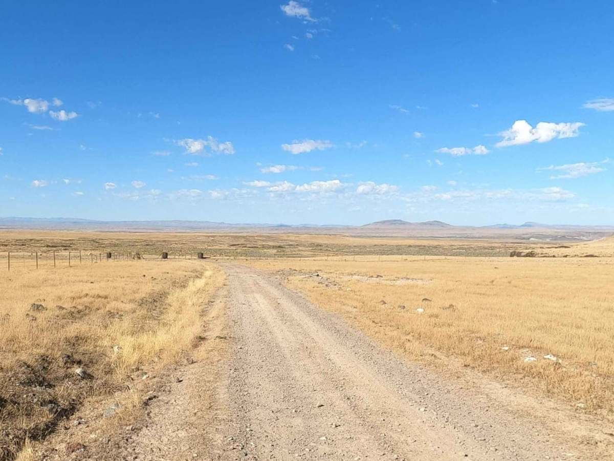
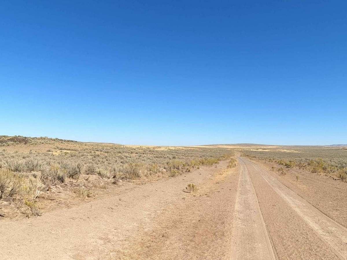
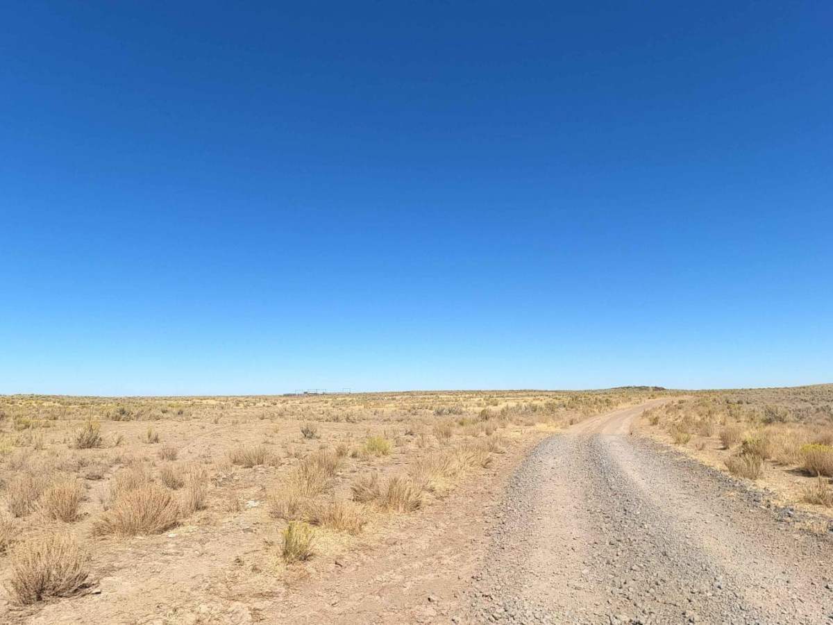
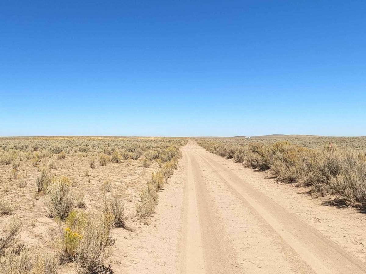
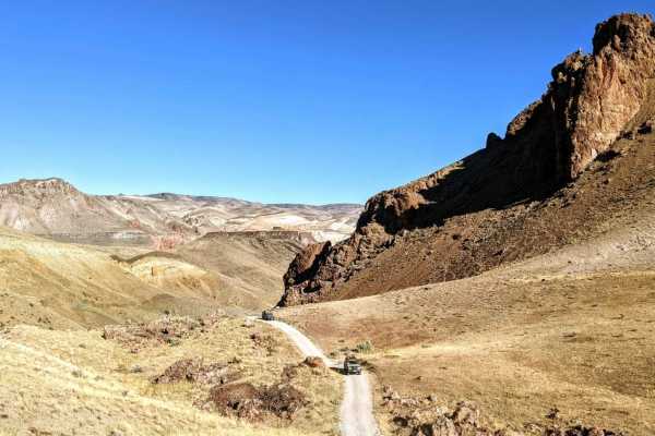
Mudlake Reservoir Road is an easy but scenic transit across the high bench plateaus of the Owyhee Canyonlands. Stretching approximately 8.9 miles through Malheur County, Oregon this unpaved route offers a fast passage between Blowout Reservoir Road to the north and Airport Road and Bogus Ranch Road to the south. With a technical rating of 2 the road primarily features a mix of dirt and gravel surfaces, making it highly accessible for most stock high-clearance four-wheel-drive vehicles and adventure-ready SUVs during dry conditions.
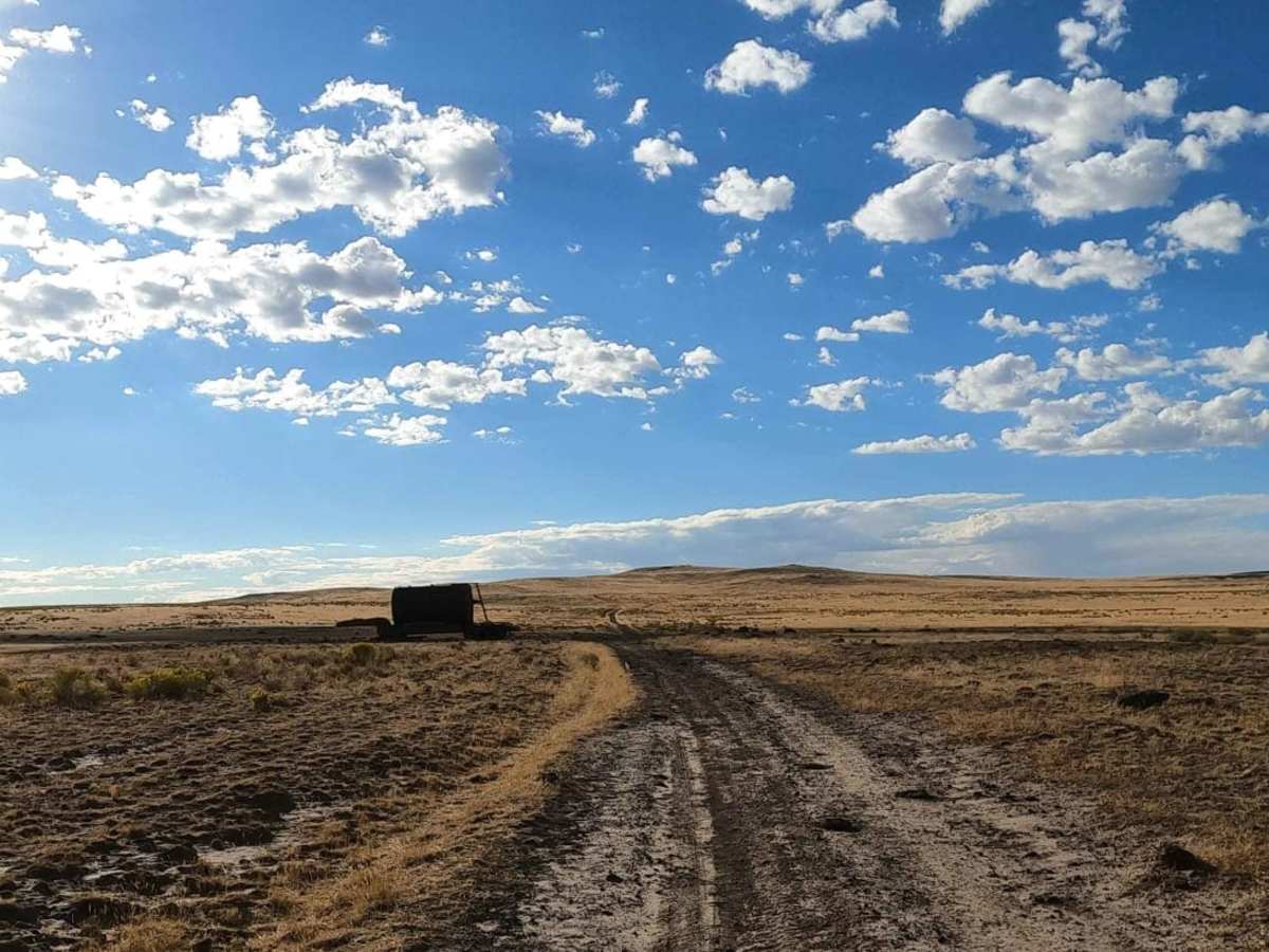
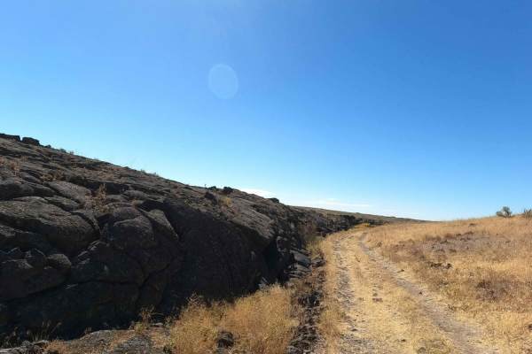
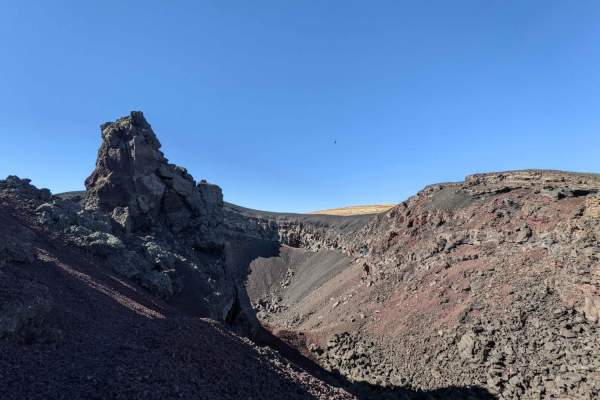
While the road serves as a vital trunk line and one of the quickest routes back to pavement. The region's soils can quickly turn into sticky, impassable clay, and even during drier periods, occasional deep silt beds and lingering mud pits persist along the track. Explorers can utilize this route to access nearby geologic wonders, such as the massive Jordan Craters volcanic field and Coffeepot Crater to the east, or use it to transition toward the Owyhee River canyon to the west. Preparation is key, as cell service is virtually nonexistent in this remote corner of Oregon; carrying recovery gear, extra fuel, and plenty of water is highly recommended for any trip along this route.
Access Description
No permits or fees are required to travel along Mudlake Reservoir Road, which is managed by the Bureau of Land Management. The route is highly vulnerable to precipitation; the clay-rich dirt becomes extremely slick and sticky when wet, rendering the road impassable even to highly capable four-wheel-drive vehicles.