Birch Creek Road

Total Miles7.1
Technical Rating
3Easy
Best TimeFall
Trail TypeFull-Width Road
Accessible By
Open Trail Map

Trail Overview

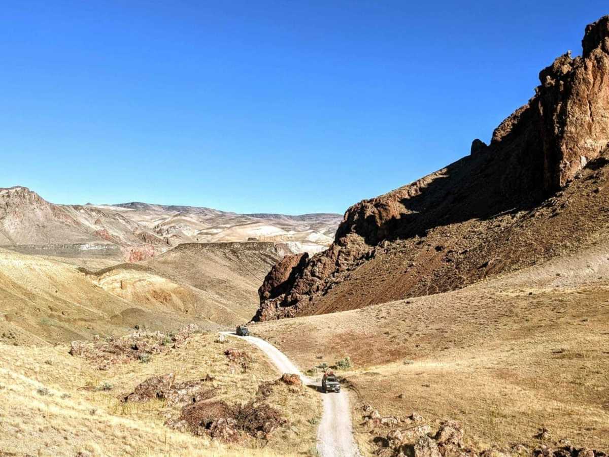
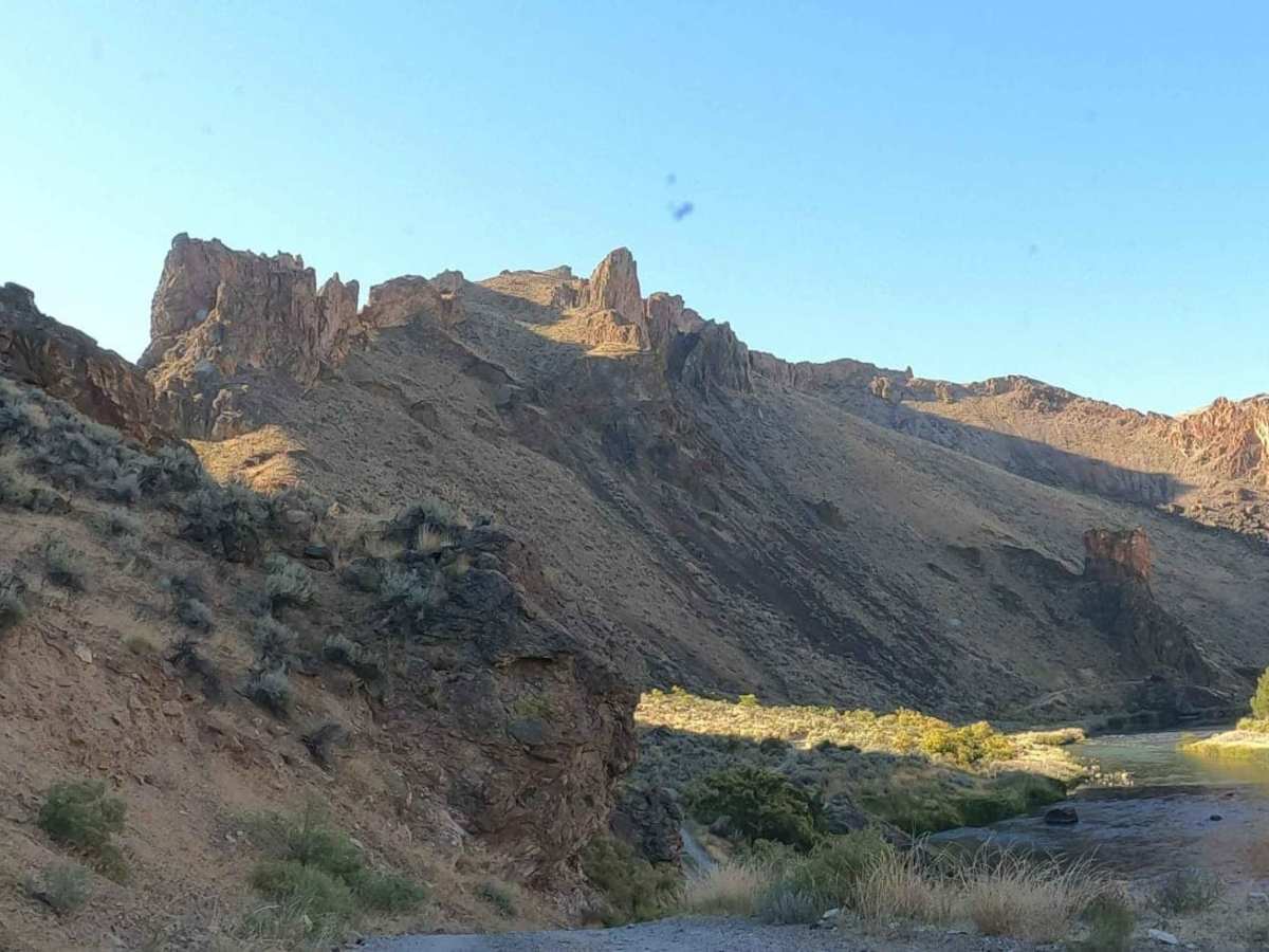
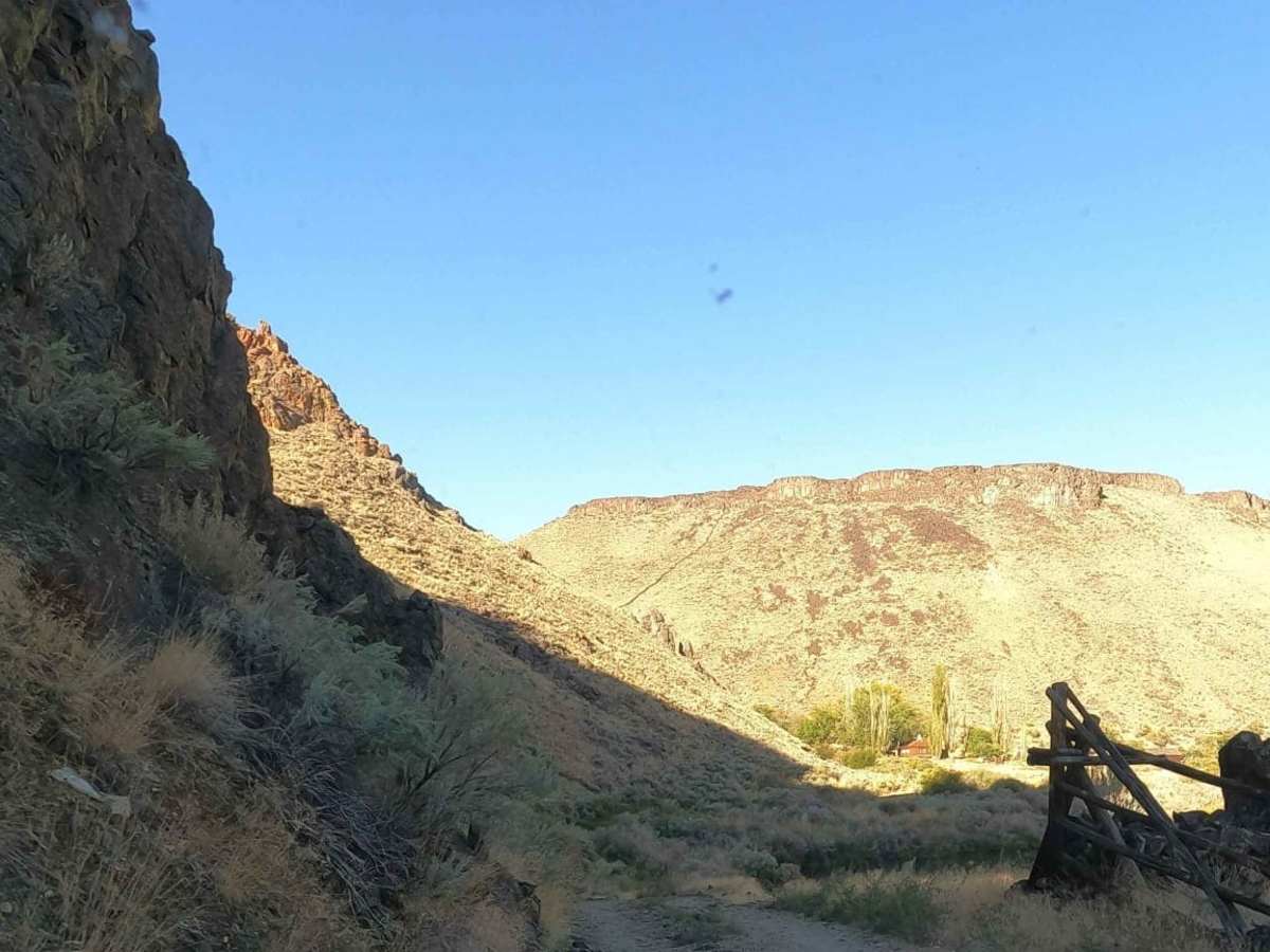
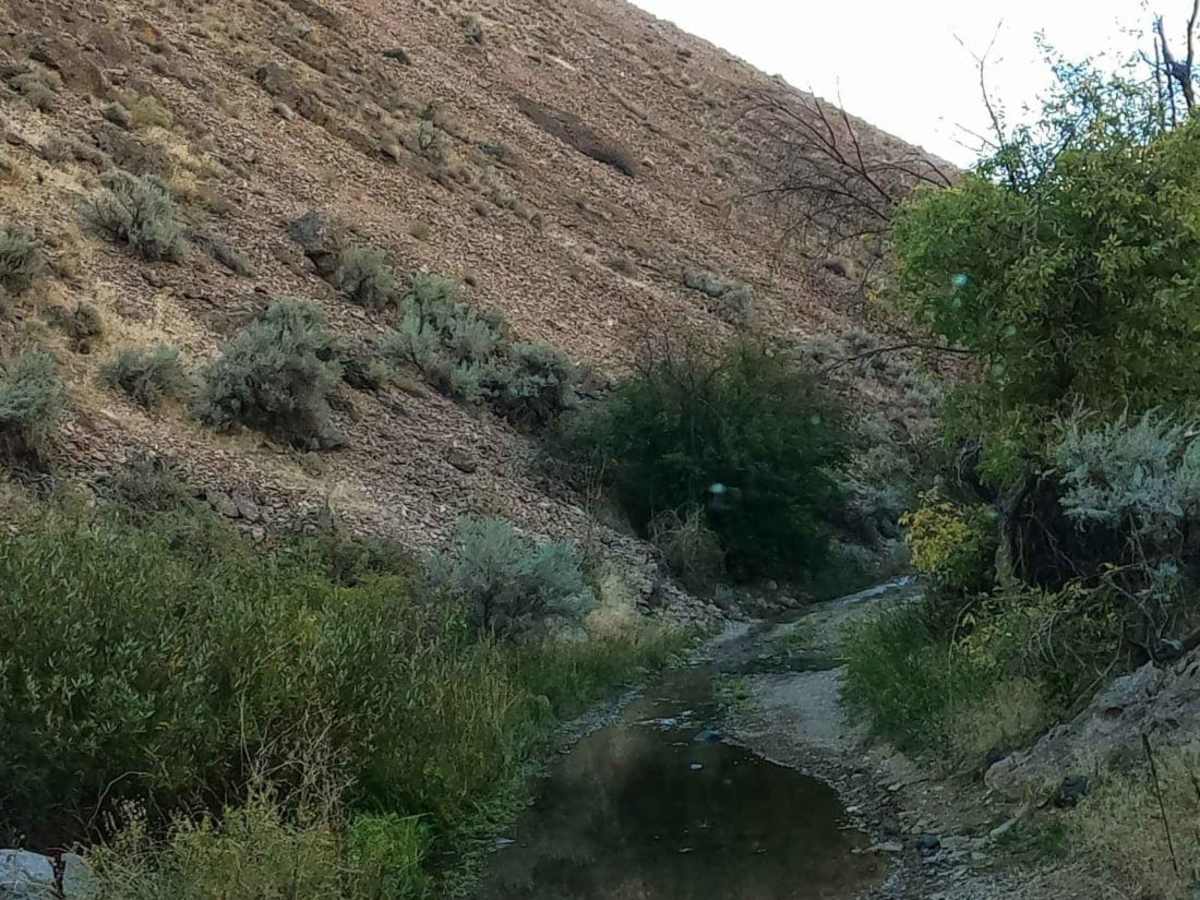
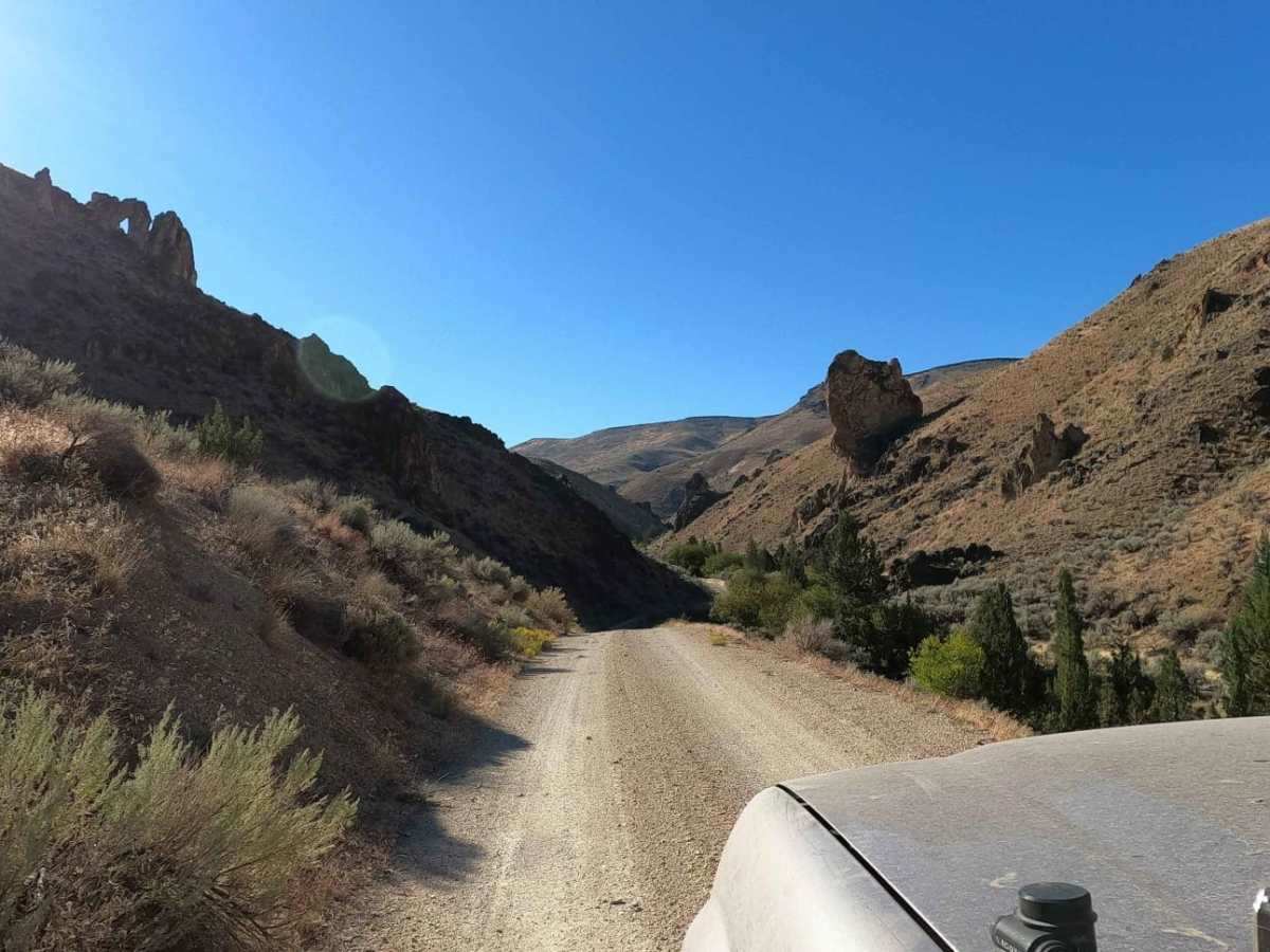
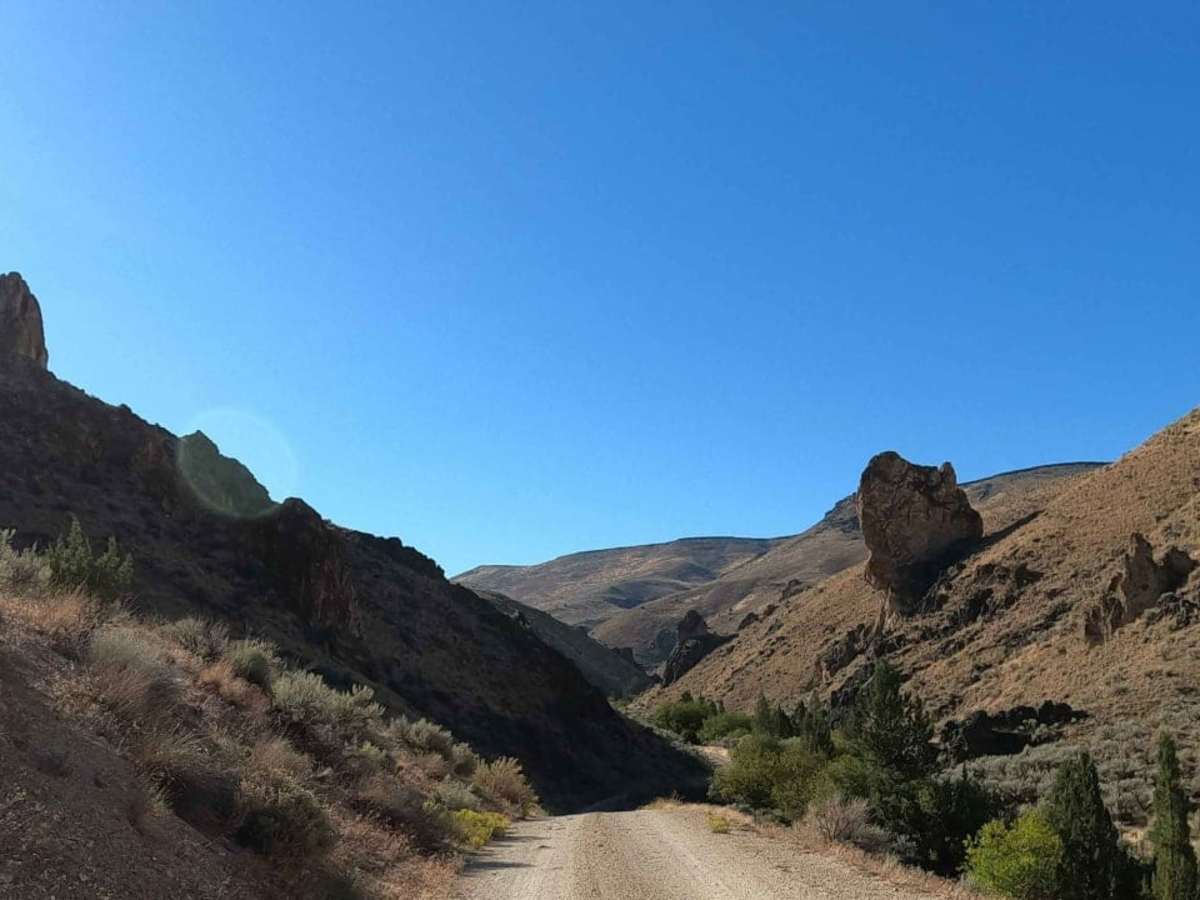
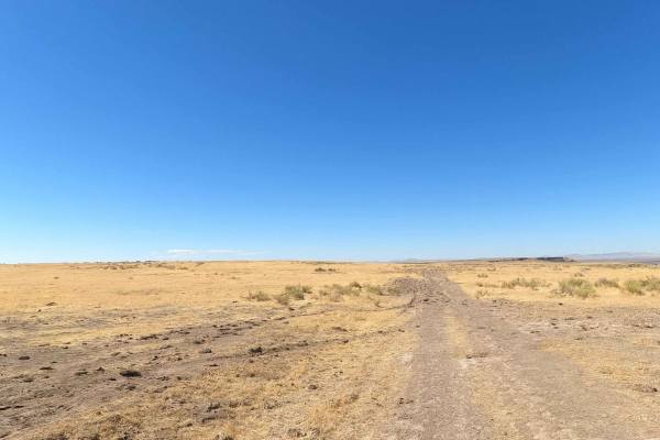
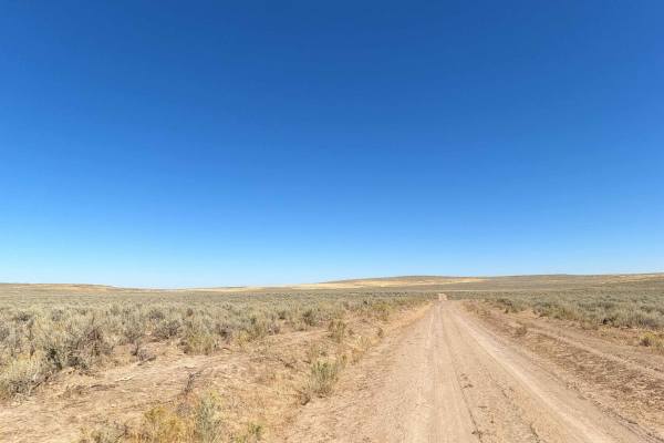
Birch Creek Road is an exceptional route for scenic explorers and four-wheel-drive enthusiasts looking to descend from the rugged rimrock canyon down to the historic Birch Creek Ranch and BLM campground along the wild Owyhee River. Spanning approximately 7.1 miles, this graded dirt and gravel road drops nearly 2,000 feet in elevation, offering spectacular, panoramic views of the Owyhee Canyonlands' dramatic rock formations and steep canyon walls. While generally straightforward, the steepness of the descent demands careful speed control and low-gear braking, making it ideal for high-clearance four-wheel-drive vehicles, SxSs, and adventurous drivers comfortable with mountain driving. As the route nears the canyon floor, travelers will encounter several shallow water crossings where a spring-fed creek weaves across the road, typically measuring under a foot deep but requiring steady momentum. The trail ends at the beautifully preserved historic ranch and adjacent BLM campground, providing an excellent base for hiking, fishing, or simply enjoying the riparian oasis. Drivers must monitor the weather closely, as rain can quickly turn the clay-rich soil slick and impassable, prompting BLM rangers to close and lock the access gate at the top of the canyon.

Photos of Birch Creek Road

Difficulty

steep graded gravel road

Technical Rating

3

Status Reports

Add Status Report
Niki Hopson
Jun 23, 2025
Open
NormalMuddy/WetSnow/IceWashboard
Keenan Small
Apr 05, 2025
2017 RAM 2500
Open
Muddy/WetRough/Deteriorated
Did this trail in our 2017 Ram PowerWagon, this section of the trail down to Birch Creek Historic Ranch has several washed out spots on the trail that they are in the process of repairing. Nevertheless, it is passable with high clearance 4x4. I would highly advise against attempting this with a 2wd vehicle, or without some kind of high clearance. It is a very steep grade down to the Ranch, parts of which are a fairly narrow shelf road, and vice versa on the way out. We didn’t go much further than the Ranch as we camped just around the corner if you stay left. The Ranch was cool to see, but you can’t really look around as it appears as if the buildings are inhabited so that was somewhat of a let down. We didn’t see a single other person on this section of the trail other than two rafts going down the Snake as we pulled up to the river. Views are otherworldly and worth the trek.
Nathan Jensen
Oct 24, 2024
Open
Steve McGavren
Jun 18, 2024
Open
Normal
The trail condition is improved since the original post. Probably seasonal. The camp site is one of the nicest I've ever used. Lots of wild life and almost Yosemite-like views. The river is not crossable as of this time of year and there were only a couple of other campers later in the week.
Matt Maus
Jun 23, 2023
2021 Ford Ranger
Open
Normal

Birch Creek Road Trail can be accessed by the following ride types:

  • Single Track
  • 50 Inch
  • 60 Inch
  • High Clearance
  • Full Width

Access Description

The Bureau of Land Management (BLM) closely monitors this route and will close and lock the gate at the top of the canyon during inclement weather. Wet weather makes the steep, clay-rich road extremely slick and impassable.

Birch Creek Road Map

The onX Offroad Difference

onX Offroad combines trail photos, descriptions, difficulty ratings, width restrictions, seasonality, and more in a user-friendly interface. Available on all devices, with offline access and full compatibility with CarPlay and Android Auto. Discover what you're missing today!

Open Trail Map