Trail Overview
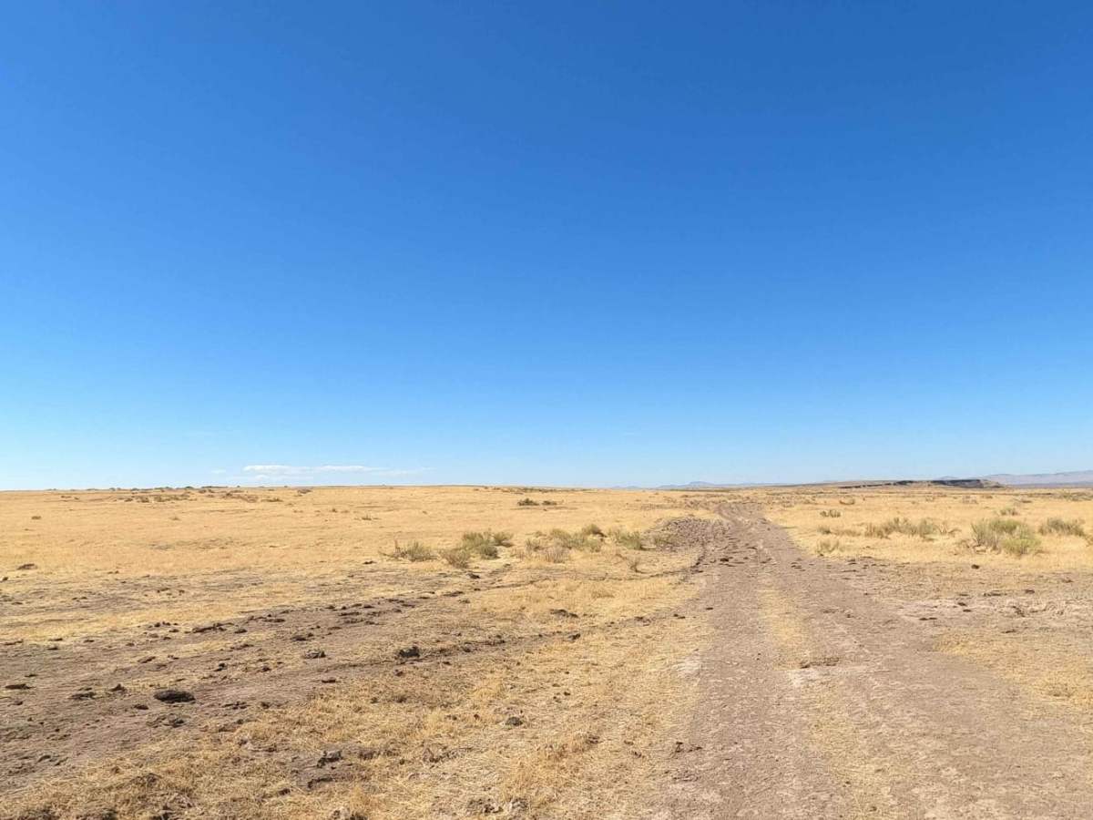
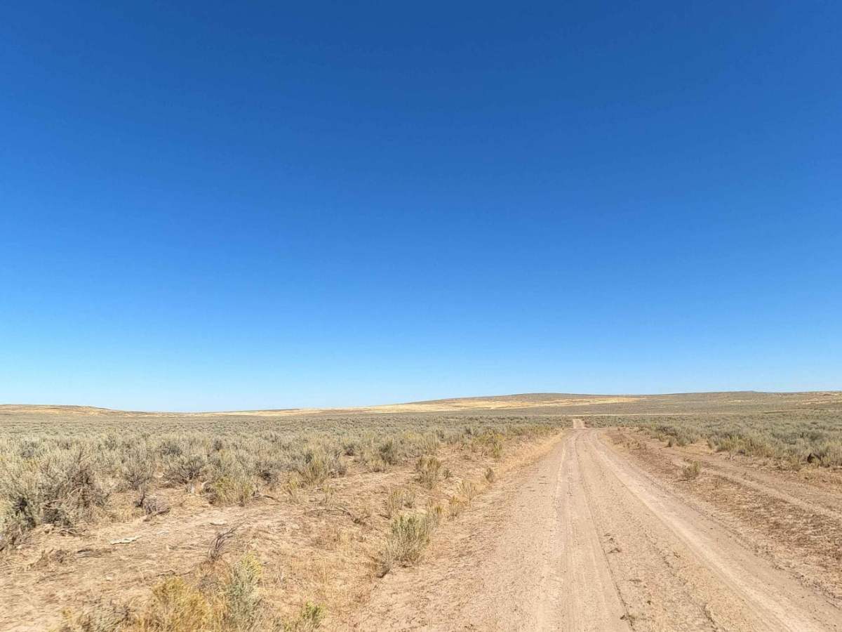
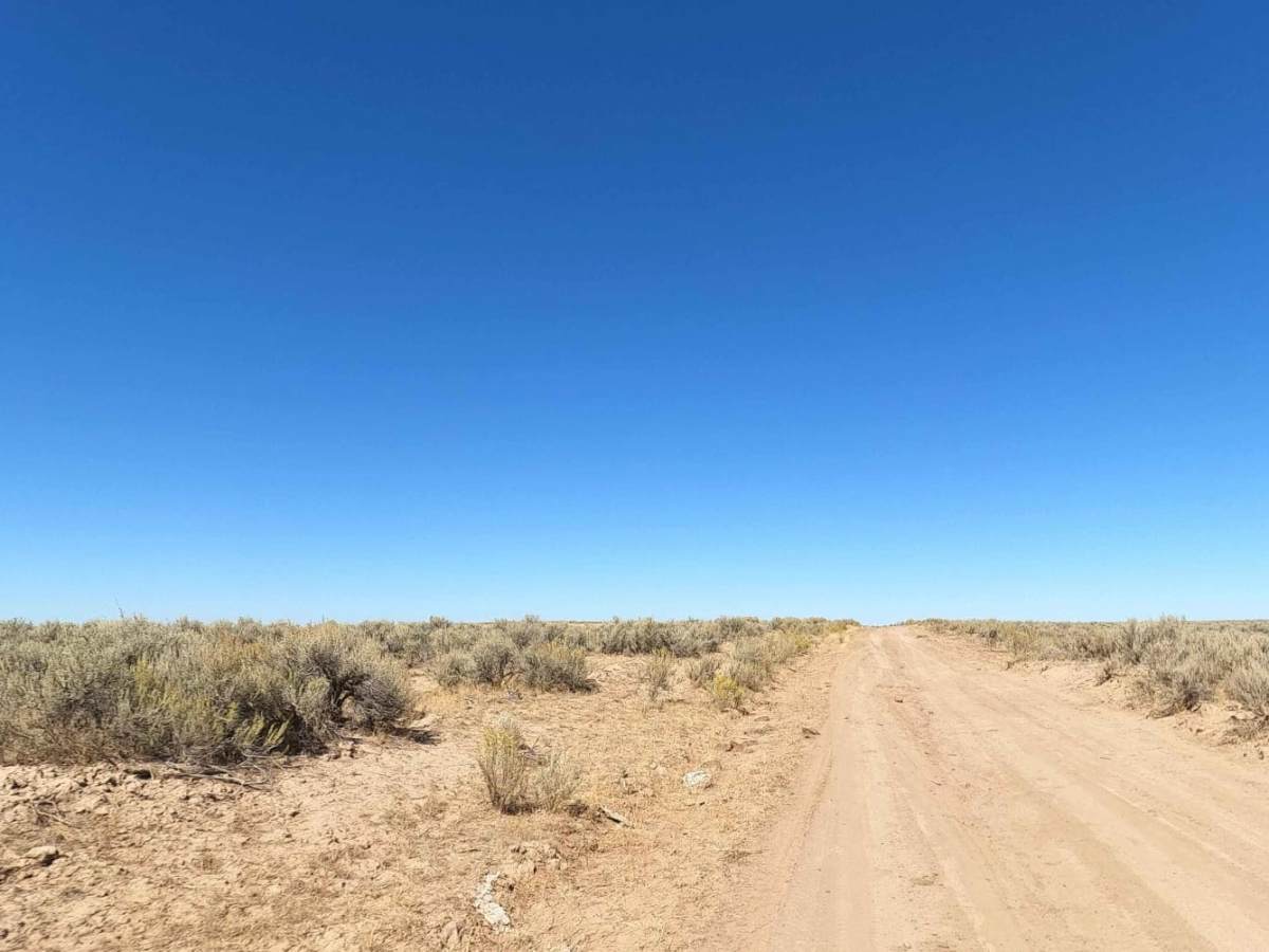
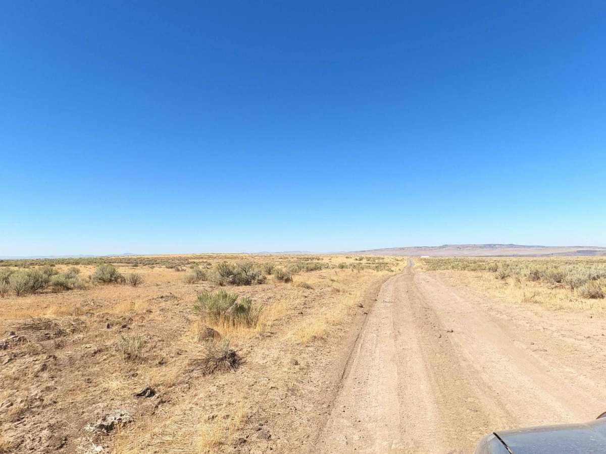
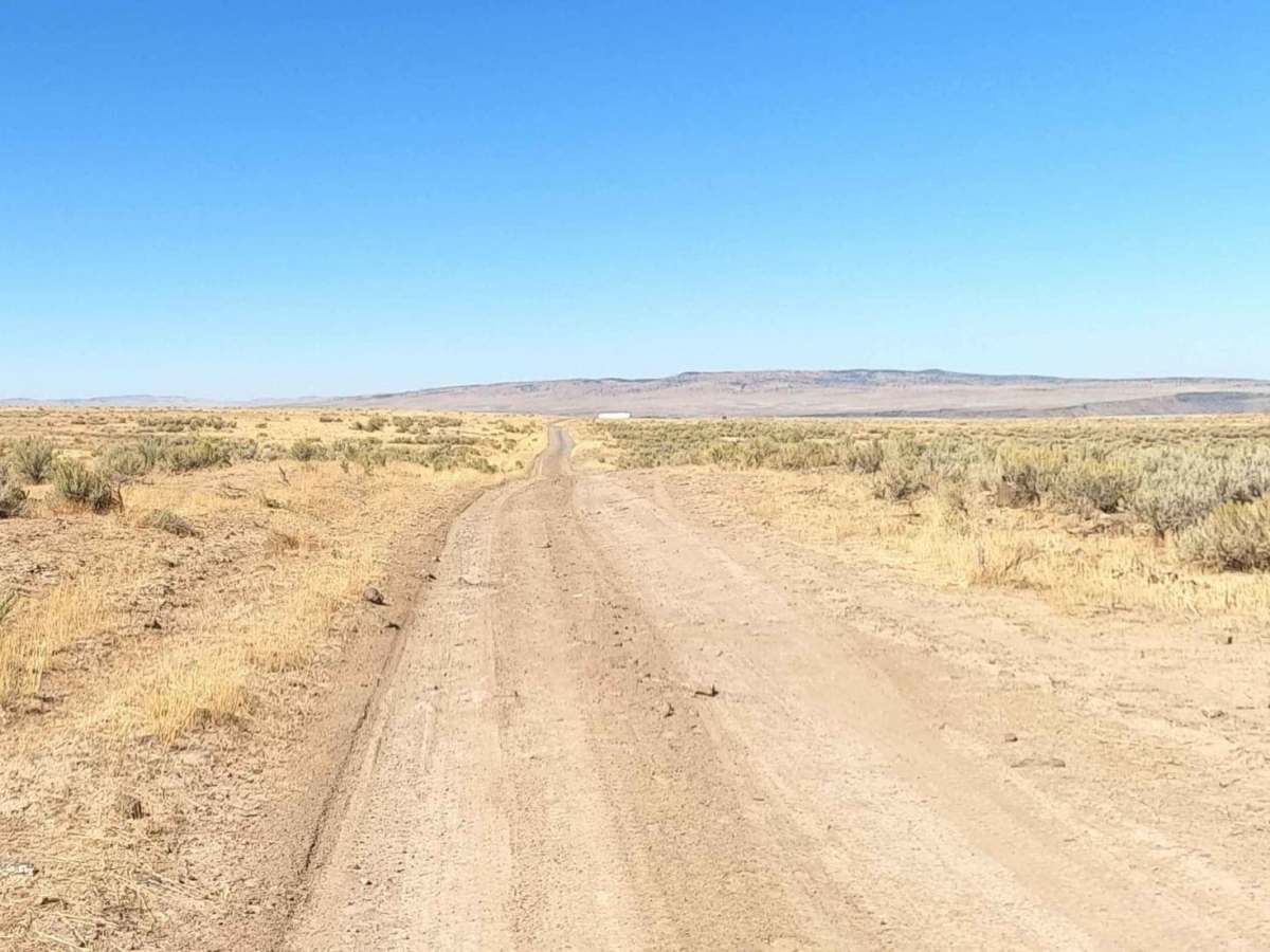
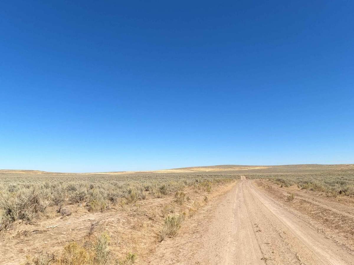
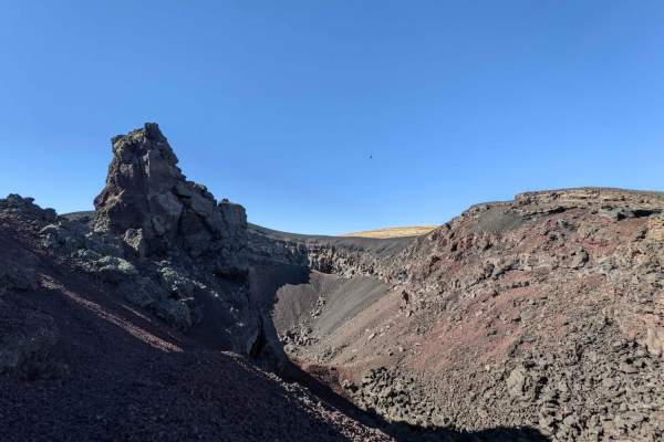
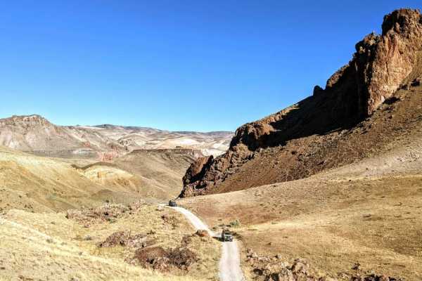
Morcom Road is a rugged 10.6-mile dirt and rock route descending from the high-desert rimrock down to the Owyhee River canyon. Starting on a high plateau around 4,600 feet, the trail drops approximately 1,750 feet to the stone ruins of the historic Morcom Ranch. Along the descent, the route features sweeping views of dramatic basalt formations and canyon walls, with minor ruts, loose rocks, and off-camber sections requiring high-clearance 4WD vehicles.
Because there are no outlets at the river, this is an out-and-back route requiring a climb back up the steep grade. The clay-heavy road becomes impassable when wet, so travel is best during dry seasons from late spring through fall.
History
The trail descends to the stone ruins of the historic Morcom Ranch, an early 20th-century homestead situated along the banks of the Owyhee River. These remnants provide an evocative look at the isolation and grit of early homesteaders who settled in the remote canyons of southeastern Oregon.
Access Description
The route is located on public land managed by the Bureau of Land Management (BLM). No fees or permits are required to drive the road, but high-clearance 4WD vehicles are strongly recommended. Travelers should avoid the route during or immediately following wet weather, as the soil becomes extremely slick and muddy, making both descent and ascent highly dangerous.